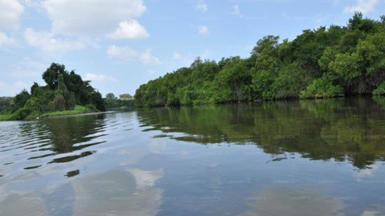
马杜鲁·奥亚


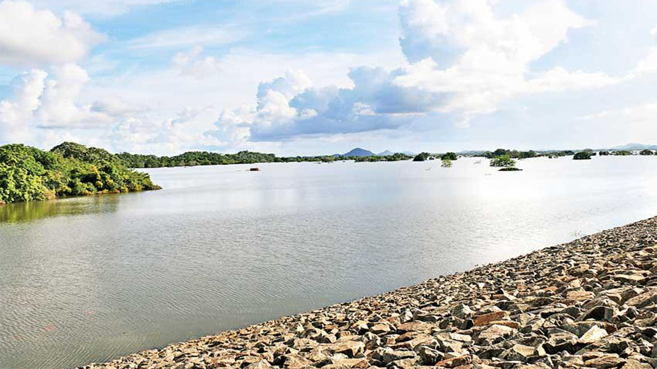
Maduru Oya 是斯里兰卡 斯里兰卡 东部省份的一条重要河流,起源于中央山脉,最终流入 巴蒂卡洛阿 潟湖附近的海洋。河流经过干旱区,为农业、定居点和 野生动物 提供重要的水源,使其成为该地区的关键自然资源。河流穿越的景观从崎岖的山脉到开阔的平原,支持着生态多样性和农业发展。
这条河对于维持东部干旱区的农业至关重要。多个水库和灌溉系统,如 Maduru Oya 水库,依赖该河为周边地区的农业提供水源。这些灌溉系统支持大规模的水稻种植、蔬菜和水果种植。此外,河流还帮助提供饮用水,并支持小规模的工业,为该地区成千上万人的生计做出贡献。
在生态方面,Maduru Oya 有助于维持 生物多样性。它的河岸是多种 野生动物 的栖息地,包括 大象、鹿和多种 鸟类。河流周围的湿地和森林在维持生态系统方面发挥着重要作用,支持陆地和水生生物的生活。包括附近的 Maduru Oya 国家公园 在内的 Maduru Oya 地区是 野生动物 保护和生态旅游的重要区域。
从文化角度来看,Maduru Oya 对依赖它的当地社区非常重要。自古以来,河流及其水库一直支撑着定居点并为农业提供水源。Maduru Oya 继续为像 巴蒂卡洛阿、安帕拉 和 Mahiyangana 等地区的人口提供水源。它仍然是干旱区文化认同的重要组成部分,因为人们仍然依赖其水源进行农业生产和日常消费。
洪水风险与水文重要性
尽管 Maduru Oya 对农业和供水至关重要,但它也容易发生洪水,特别是在上游流域的强降雨期间。了解其洪水风险对于管理水资源和保护农业土地及定居点非常重要。
- 当前报告中无官方数据:Maduru Oya 并未列入现有的水文学数据中,因此当前没有该河流的水位数值或洪水分类。
- 流域敏感性:中央高地和周围湿润区的降雨会迅速增加河流的水流,特别是在季风季节,这会提高下游的洪水风险。
- 易受洪水影响的区域:位于 安帕拉、Mahiyangana 和 巴蒂卡洛阿 区域的低洼定居点和农业用地,当河水在强降雨时上涨时,容易受到洪水影响。
- 对农业的影响:河流水位的突然上升可能会影响灌溉渠道,溢出水库并损害作物,尤其是下游地区的水稻田。
- 沿海地区的排水缓慢:当河流流入 巴蒂卡洛阿 附近的沿海平原时,水流速度减慢,这增加了农业用地上水淹和洪水持续的可能性。
- 需要监测:在河流沿线安装或改进水文测量仪器将有助于预测未来的洪水风险,并支持早期预警系统。
- 野生动物和保护风险:河流的快速上涨可能会破坏 野生动物 栖息地,特别是 Maduru Oya 国家公园 的大象和其他受保护物种。
Maduru Oya 在农业、供水和生态保护中的作用使其成为 斯里兰卡 宝贵的资源。然而,由于其易受季节性洪水的影响,持续的水文监测对于减轻对当地社区和 野生动物 的风险至关重要。


-
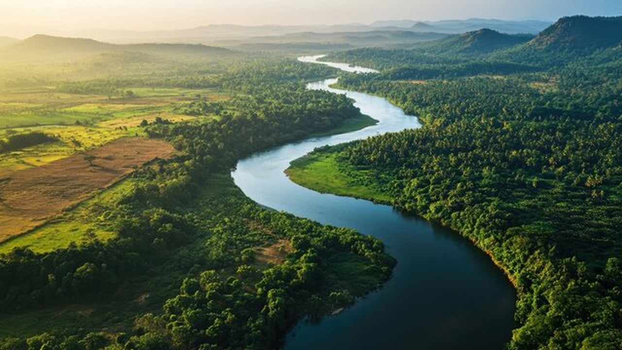 Mahaweli River
Explore the majestic Mahaweli River, Sri Lanka’s longest river, offering serene boat rides and opportunities for birdwatching and nature adventures along its winding course through scenic valleys.
-
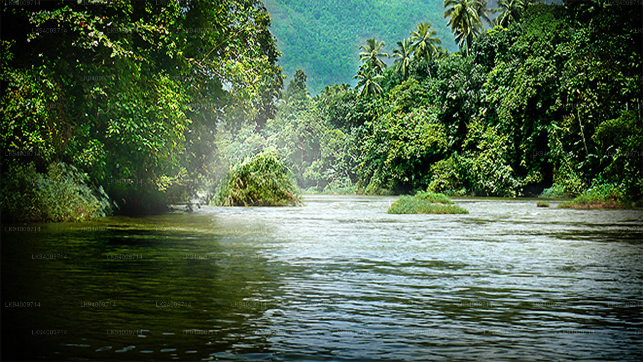 Kelani River
The Kelani River is a 145-kilometre-long (90 mi) river in Sri Lanka. It flows through or borders the Sri Lankan districts of Nuwara Eliya, Ratnapura, Kegalle, Gampaha and Colombo.
-
 Kalu Ganga
Kalu Ganga is a river in Sri Lanka. Measuring 129 km (80 mi) in length. The mountainous forests in the Province and the Sinharaja Forest Reserve are the main sources of water for the river.
-
 Walawe River
The southern region of Sri Lanka is exalted by a bushel of enthralling and glorified rivers and the Walawe River is one of them. Gently flowing through the Udawalawe National Park, the Walawe River provides water for a multitude of species of mesmerising fauna.
-
 Deduru Oya
The Deduru Oya Dam is an embankment dam built across the Deduru River in Kurunegala District of Sri Lanka. Built in 2014, the primary purpose of the dam is to retain approximately a billion cubic metres of water for irrigation purposes, which would otherwise flow out to sea.
-
 Malwathu Oya
The Malvathu River long river in Sri Lanka, connecting the city of Anuradhapura, which was the capital of the country for over 15 centuries, to the coast of Mannar. It currently ranks as the second longest river in the country, with a great historic significance.
-
 Kala Oya
It was around these ancient tank (water storage reservoir) irrigation systems that the economy and human settlements of early Sri Lankan society were organised into a “hydraulic civilization”.
-
 Gal Oya
Discover Gal Oya, a tranquil sanctuary in Sri Lanka, known for its lush landscapes, rich wildlife, and serene boat safaris, offering a peaceful retreat surrounded by nature and wildlife.
-
 Gin Ganga
The Gin Ganga, is a 115.9 km (72 mi) long river situated in Galle District of Sri Lanka. The river's headwaters are located near Deniyaya, bordering the Sinharaja Forest Reserve.
-
 Kirindi Oya
Experience the serene beauty of Kirindi Oya, a tranquil river in Sri Lanka. Enjoy scenic boat rides, lush landscapes, and opportunities for birdwatching, offering a peaceful escape into nature.
-
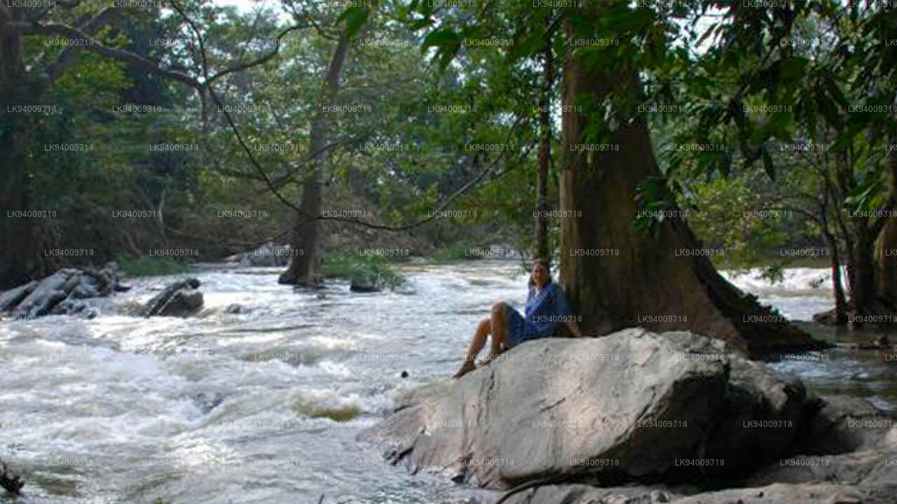 Kumbukkan Oya
The Kumbukkan Oya is the twelfth-longest river of Sri Lanka. It is approximately 116 km (72 mi) long. Its catchment area receives approximately 2,115 million cubic metres of rain per year.
-
 Maduru Oya
The Maduru Oya is a major stream in the North Central Province of Sri Lanka. It is approximately 135 km (84 mi) in length. approximately 3,060 million cubic metres of rain per year
-
 Manik River
Explore the peaceful Manik River, surrounded by lush greenery and rich wildlife. Enjoy scenic boat rides and nature walks, offering a serene and refreshing experience.
-
 Yan Oya
The Yan Oya, 142 km long and receives 2,371 million cubic meters of rainfall annually, with 17% flowing to the sea. Its catchment area covers 1,520 square kilometers.