Bandarawela City
Escape to the scenic highlands of Bandarawela, where our welcoming retreat invites you to experience serenity and adventure. Enjoy breathtaking views, explore tea estates, and immerse yourself in the rich culture of this charming hill town. Your idyllic retreat in Bandarawela awaits
基林迪奥亚
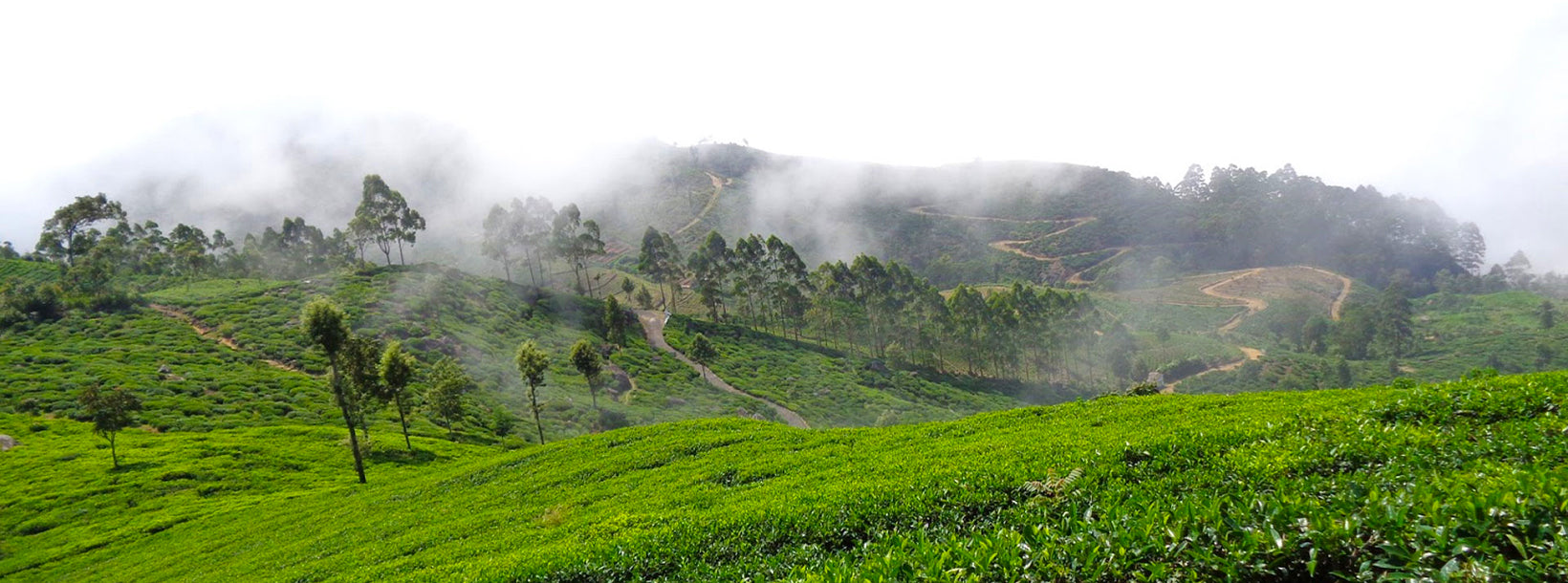
Kirindi Oya 是斯里兰卡 南部省的一条重要河流,它从中央山区流经干旱平原,最终在接近 汉班托塔 的海岸地区汇入大海。河水为南部干旱地区的农业、居民和生态系统提供支持。当河流穿越该地区的美丽景观时,它为农业社区提供了急需的水源,并维持着沿海平原的自然美景。
Kirindi Oya 在 南部省 的农业经济中发挥着核心作用,尤其是在 提萨马哈拉马 和 汉班托塔 等地区。该河流供水给多个灌溉系统和水库,包括 Kirindi Oya 水库,后者在旱季提供关键水源。其水资源被用于稻米种植、蔬菜种植和牲畜养殖,使其成为依赖水源的农村社区的生命线。
在生态方面,Kirindi Oya 流域是多种 野生动物和自然栖息地的家园。河流的湿地和周围的森林支持多种 鸟类、鱼类和爬行动物。当河流接近海岸时,它为该地区的海岸生态系统提供支持,包括红树林和盐水沼泽。这些环境对于当地的 生物多样性 和 生态旅游至关重要,后者因河流的自然美景和与如 耶拉国家公园 等保护区的接近而在该地区快速发展。
在文化方面,Kirindi Oya 在南部省人民的生活中深深扎根。几百年来,河流一直是农业、饮用水和交通的重要资源。它继续支持 提萨马哈拉马、汉班托塔 及其流经地区的社区,为农业和日常使用提供必需的水源。它仍然是该地区可持续性和韧性的象征,使农业和当地传统能够蓬勃发展。
洪水风险和水文重要性
尽管 Kirindi Oya 对农业和水源供应至关重要,但它也容易发生洪水,尤其是在中央高地降水量大的时期。了解其洪水风险对管理水资源、保护斯里兰卡 南部 和东南部地区的农业用地和定居点至关重要。
- 当前水文读数(官方报告):
Thanamalwila 站 – 小洪水水位:5.00 米,大洪水水位:5.50 米,当前水位:3.33 米(正常)。 - 易受洪水影响的地区: 该河流的洪水风险影响提萨马哈拉马、汉班托塔及周边地区的低洼区域,尤其是在西南季风期间,当中央高地的降水使水位升高时。
- 集水区敏感性: 提萨马哈拉马和耶拉附近的集水区在大雨期间容易迅速汇水,从而增加下游河流的流量和水位。
- 对农业的影响: 洪水可能会扰乱灌溉系统、淹没农田并损害作物,特别是在河流两岸的稻田和蔬菜农场。
- 沿海地区排水缓慢: 当河流接近汉班托塔附近的沿海平原时,流速减缓,增加了低地地区长期水淹和洪水的可能性。
- 监测的重要性: 持续的水位测量对于预测未来的洪水事件并保护河流泛滥区的农业和社区至关重要。
- 季节性降水风险: Kirindi Oya 的洪水风险在季风季节最高,当上游集水区的强降水导致水位突然升高时。
尽管 Kirindi Oya 继续为斯里兰卡 南部省 的农业和社区提供重要资源,但其洪水风险突显了建立强有力的监测系统和有效的洪水管理策略的必要性,以保护依赖该河流的人群和土地。
About Badulla District
Badulla is the capital of Uva Province in Sri Lanka. Badulla is located on the southeast of Kandy, almost encircled by the Badulu Oya River, about 680 meters (2200 ft) above sea level and is surrounded by tea plantations. The town is overshadowed by the Namunukula range of mountains. Badulla is about 230km away from Colombo towards the eastern slopes of central hills of Sri Lanka.
Badulla and surroundings are highly recommended for eco-tourists as Horton Plains National Park and the Knuckles mountains are few hours away.
Special places in Badulla: Muthiyangana temple, Dhowa temple, Bogoda ancient wooden bridge, Rawana water falls
About Uva Province
The Uva Province is Sri Lanka's second least populated province, with 1,187,335 people, created in 1896. It consists of two districts called Badulla and Monaragala The provincial capital is Badulla. Uva is bordered by Eastern, Southern and Central provinces. Its major tourist attractions are Dunhinda Falls, Diyaluma Falls, Rawana Falls, the Yala National Park (lying partly in the Southern and Eastern Provinces) and Gal Oya National Park (lying partly in the Eastern Province). The Gal Oya hills and the Central Mountains are the main uplands, while the Mahaweli and Menik rivers and the huge Senanayake Samudraya and Maduru Oya Reservoirs are the major waterways in Uva province.