Kalupahana Village


Kalupahana is a picturesque village situated in Sri Lanka's Uva Province, within the Badulla District. Nestled amidst the central highlands, it is renowned for its lush landscapes, cool climate, and proximity to some of the country's most impressive waterfalls. The village's serene environment and natural beauty make it a favored destination for nature enthusiasts and hikers.
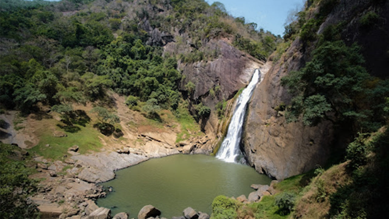
One of the main attractions near Kalupahana is Bambarakanda Falls, the tallest waterfall in Sri Lanka, standing at 263 meters. This horsetail-type waterfall is formed by the Kuda Oya, a tributary of the Walawe River, and is surrounded by a forest of pine trees, adding to its scenic charm. The falls are especially captivating during the rainy season when the water flow is at its peak.
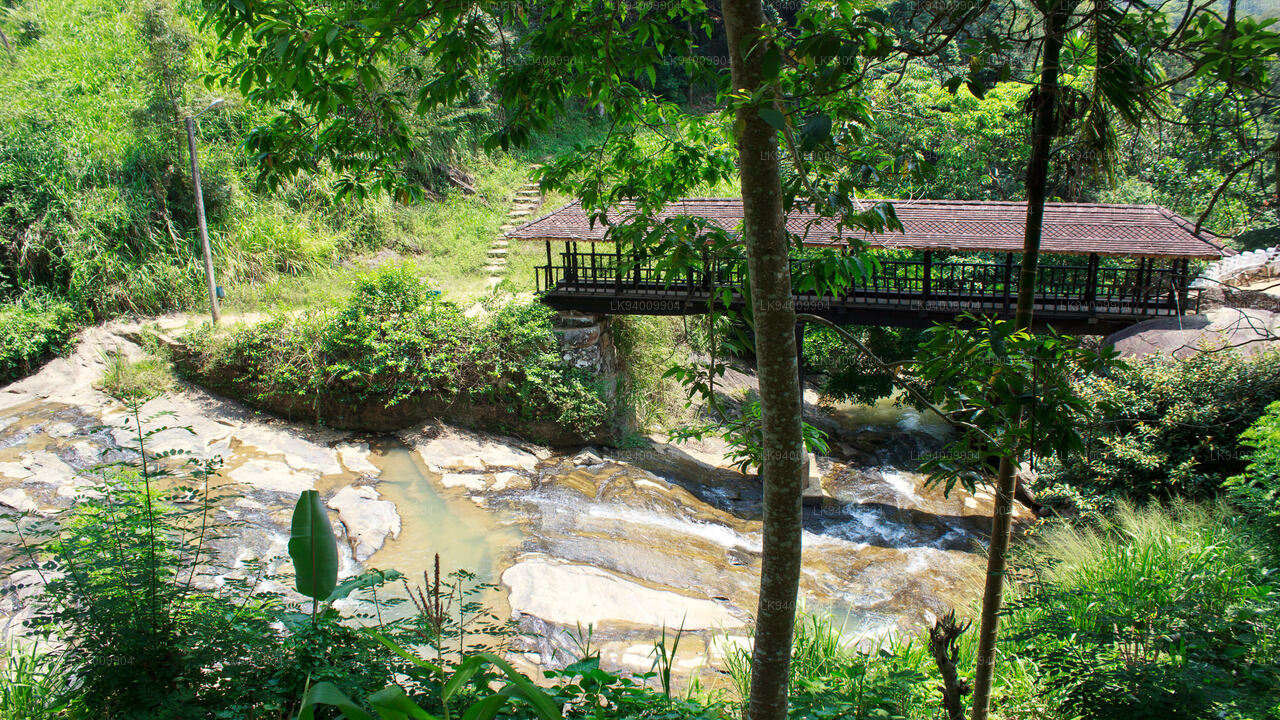
In addition to Bambarakanda, the area boasts other notable waterfalls such as Lanka Ella and Surathali Ella. These falls are accessible via hiking trails that meander through dense forests and offer panoramic views of the surrounding hills and valleys. The natural pools at the base of these waterfalls provide refreshing spots for visitors to relax and enjoy the tranquil setting.
Kalupahana's appeal extends beyond its waterfalls. The village's location offers opportunities for trekking, Wildlife observation, and experiencing the rich Biodiversity of the region. Its proximity to other attractions in the Uva Province makes it an ideal base for exploring the central highlands of Sri Lanka.
Szczególne miejsca w Badulla
-
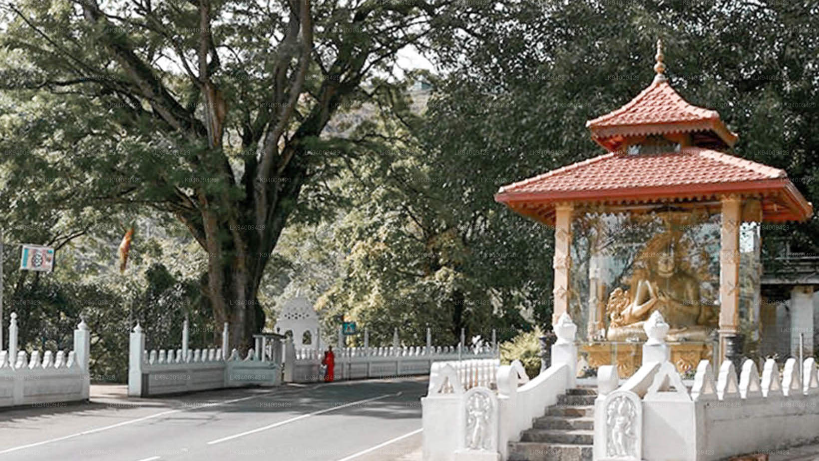
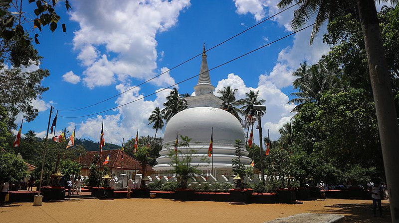 Muthiyangana Raja Maha Vihara
Świątynia Muthiyanganaya Raja Maha Viharaya leży w centrum miasta Badulla. Historia tej świątyni sięga czasów Buddy, ale teren wokół Badulli sięga XIX-XVIII wieku p.n.e.
-
 Dowa Raja Maha Viharaya
Świątynia Dowa Raja Maha Viharaya (Dowa Cape Temple) leży kilka kilometrów od miasta Bandarawela, przy drodze Bandarawela – Badulla. Uważa się, że świątynię tę zbudował król Walagamba w I wieku p.n.e.
-
 Drewniany most Bogoda
Drewniany most Bogoda został zbudowany w XVI wieku, w okresie Dambadeniya. Uważa się, że jest to najstarszy zachowany drewniany most na Sri Lance. Most znajduje się 7 kilometrów (4,3 mili) na zachód od Badulli.
-
 Wodospady Dunhinda
Wodospad Dunhinda znajduje się około 5 km od miasta Badulla. Mierzy 63 metry wysokości i jest uważany za jeden z najpiękniejszych wodospadów na Sri Lance. Swoją nazwę wodospad zawdzięcza rozpryskującym się kroplom rosy.