
Nuwaragala (නුවරගල)


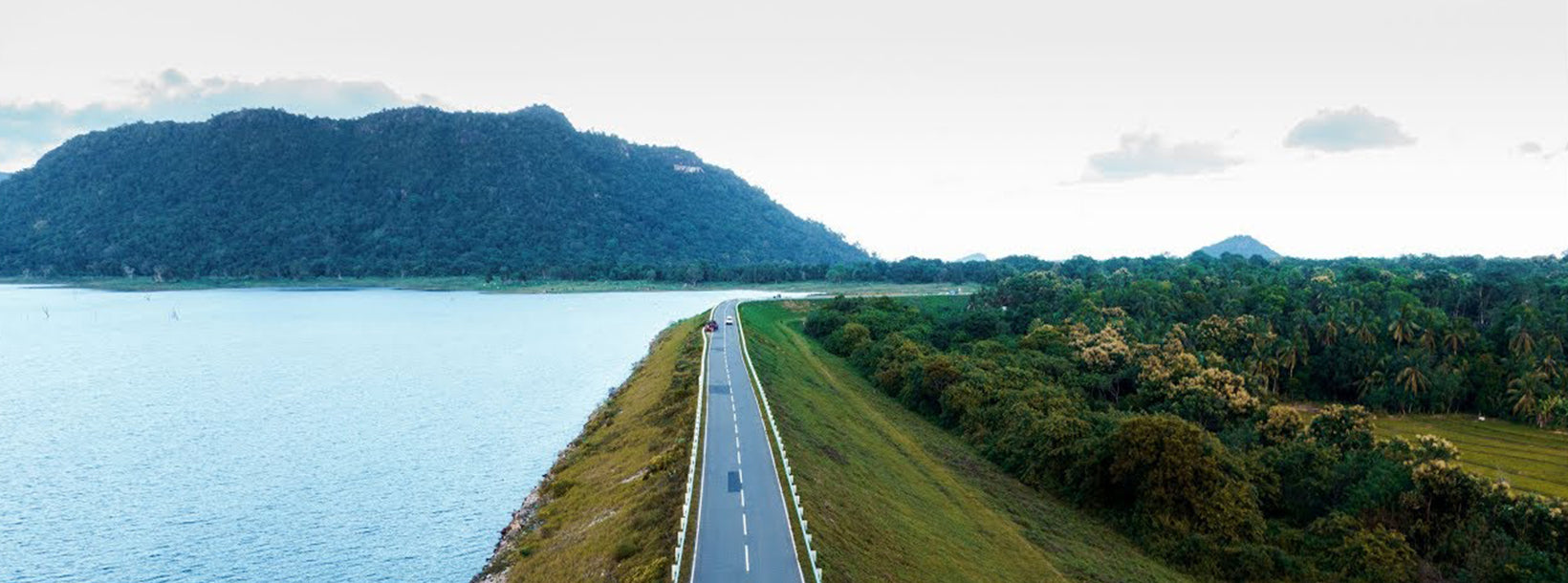
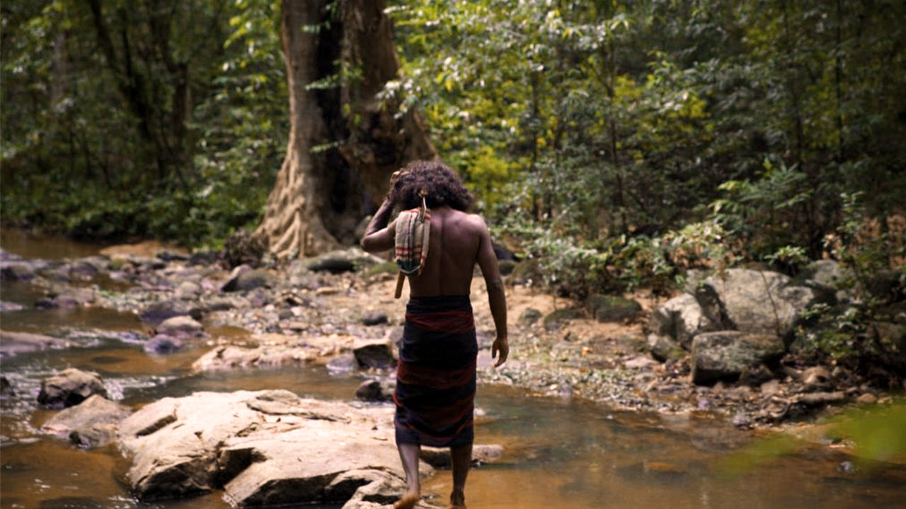
Nuwaragala Kanda belongs to the maha oya Divisional Secretariat in the ampara district of the eastern province. Nuwaragala is geographically important as a remnant mountain (more than 300 meters high after erosion) belonging to the gal oya mountain range, which is located in half the plains of Sri Lanka (region between 30-300 m above sea level). The height is 658 meters. This area is associated with the aborigines of Sri Lanka. It is said that an ancient group of people lived in the jungle called Heethala Vanni associated with this mountain. VANISHED TRAILS, written by RL Spittle, a British physician, describes this area. The book was translated into Sinhala by Mr. AP Gunaratne under the title Deleted Dadaman.
As for history here, one can say that it has not been discovered yet. But there are several opinions on that. One is that King Saddhatissa himself built these buildings and abandoned them halfway without being able to complete them completely. The other fact is that Ven. ellawala Medananda Thero has said that King Lajjatissa, the son of King Saddhatissa built temples in this connection. It is also said that Giri Nuwara, built by Prince Giri Abaya, the husband of Princess Soma, the sister of King Kavantissa, was built in this connection. These three views are the main ones. On the top of the mountain you can see Pettigala mountain, Savula Hela, Ethbedda, Walas mountain and gal oya mountains. Borupola Wewa, Rukam Wewa, Unnichchiya Wewa, Weligahakandiya Wewa, Nuwaragala Tenna Wewa and Rambaken Oya Reservoir are clearly visible. It extends to the east coast of Sri Lanka. If you camp, you can see the sunrise clearly.
The ruined tanks were scattered among the ruins of dams and settlements. The ruins of a large city can be seen on top of the rock called Nuwara Gala. The city must have been the administrative center of that time. A tourist accustomed to difficult jungle trekking will understand nothing about this buried city. This will bring no relief to his cognitive microcosm. But if you see it patiently one day, you will not be able to guess about the grandeur present here at that time.
Activities:
- hiking
- camping
- nature activities
- photography
- sightseeing
- trekking
- weather
Pool complex carved on the summit of Nuwaragala Rock, also considered a rock fortress like Sigiriya. The palace is said to be within the rock, sadly no extensive archeological research has been done.
It is believed to be the hideout place of King Saddatissa during his time of bitterness with his brother King Dutugemunu. According to renowned archaeologist Ellawala Medhananda Thera, Nuwaragala was a monastery built by King Lajja Thissa, who ruled the country from 119 to 109 BC.


