마탈레

마탈레(Matale, 흔히 마탈레로 표기됨)는 섬의 중심부에 위치한 큰 지역 도시입니다. 해발 364m(1,194피트)의 넓고 비옥한 계곡에 자리하고 있습니다. 이곳은 마탈레 구의 행정 중심지이자 최대 도시로, 중부 주에 속하며 스리랑카의 일부입니다. 콜롬보에서 142km(88마일) 떨어져 있으며 캔디 인근에 위치해 있습니다. 도시 주변은 너클스 산맥으로 둘러싸여 있으며, 그 기슭은 영국 식민지 시절 윌트셔라고 불렸습니다.

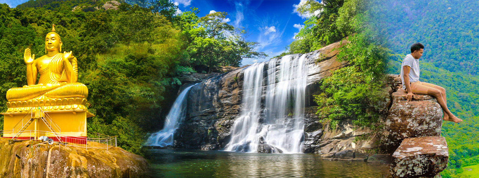
마탈레는 스리랑카의 고지대에 위치한 도시입니다. 너클스 산맥은 마탈레의 대표적인 랜드마크입니다. 마탈레 행정 구역에는 역사적인 시기리야 바위 요새, 알루비하레 사원, 그리고 담불라 동굴 사원도 포함되어 있습니다. 한때 윌트셔로 불렸던 너클스 산맥의 기슭은 이 지역의 아름다운 경관을 더욱 돋보이게 합니다. 이곳은 주로 농업 지역으로, 차, 고무, 채소, 그리고 향신료 재배가 활발합니다.

도시 북쪽에 위치한 알루비하레 사원은 팔리어 경전이 처음으로 완전하게 올라(야자) 잎에 기록된 역사적인 장소입니다. 알루비하레 인근에는 수많은 수도원 동굴이 있으며, 그중 일부는 아름다운 프레스코 벽화를 보여줍니다.

About Central Province

The Central Province of Sri Lanka consists primarily of mountainous terrain. The province has an area of 5,674 km², and a population of 2,421,148. Some major towns include Kandy, Gampola (24,730), Nuwara Eliya and Bandarawela. The population is a mixture of Sinhalese, Tamil and the Moors.

Both the hill capital Kandy and the city of Nuwara Eliya are located within the Central Province as well as Sri Pada. The province produces much of the famous Ceylon tea, planted by the British in the 1860s after a devastating disease killed all the coffee plantations in the province. Central Province attracts many tourists, with hill station towns such as Kandy, Gampola, Hatton and Nuwara Eliya. Temple tooth or Dalada maligawa is the main sacred place in Centrel province.

The climate is cool, and many areas about 1500 meters often have chilly nights. The western slopes are very wet, some places having almost 7000 mm of rain per year. The eastern slopes are parts of the mid-dry zone as it is receiving rain only from North-Eastern monsoon. The Temperatures range from 24°C at Kandy to just 16°C in Nuwara Eliya, which is located 1,889 m above sea level. The highest mountains in Sri Lanka are located in the Central Province. The terrain is mostly mountainous, with deep valleys cutting into it. The two main mountain regions are the central massif and the Knuckles range to the east of Kandy.