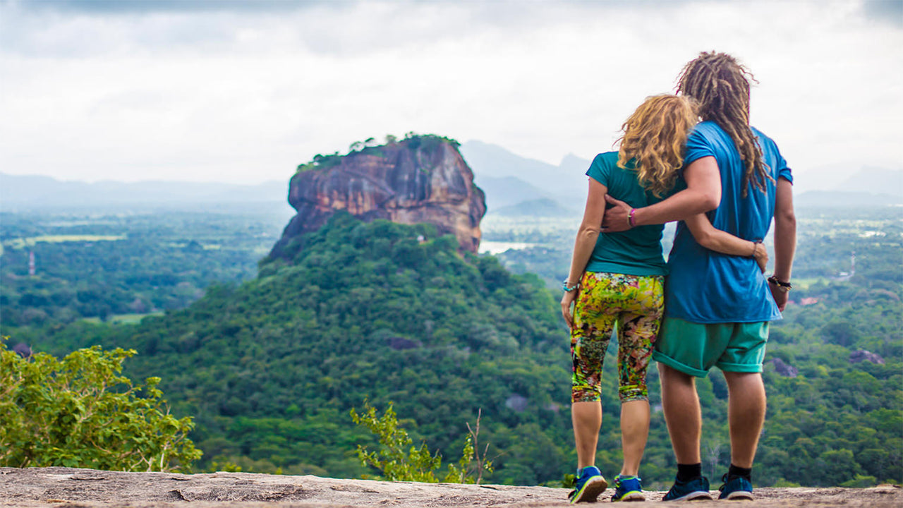
Narrangal


Narangala è una bellissima collina che si eleva a oltre 1500 metri nella provincia di Uva, nello Sri Lanka. La cima di questa seconda montagna più alta di Uva offre alcune delle migliori viste di tutta l'isola tropicale. Inoltre, la sfida ragionevole che offre la sua scalata l'ha resa molto popolare tra gli escursionisti.
Luogo di escursione: Cima di Narangala
Altitudine: 1527 m
Livello di difficoltà: Medio
Cosa indossare: Scarpe da trekking con una buona presa, abbigliamento caldo
Cosa portare: Bottiglia d'acqua, barrette energetiche, repellente per insetti
Descrizione del percorso:
Il sentiero escursionistico inizia nell'area della piantagione di Thangamalai. Il nome significa letteralmente "Montagna d'Oro" in Tamil e deriva dalle erbe dorate che ricoprono i pendii di Narangala. Una delle caratteristiche più distintive di Narangala è la sua cima rettangolare, che la rende molto attraente anche da lontano.
Gli escursionisti dovrebbero parcheggiare i loro veicoli presso il tempio indù nella piantagione. Se non avete una guida, alcuni dei locali saranno felici di aiutarvi con le indicazioni. Dovrete camminare lungo piccoli sentieri nella piantagione di tè fino a trovare un grande tubo che porta acqua alla piantagione. Poi seguirai il tubo fino al punto in cui raggiunge una strada che attraversa la piantagione. Ci saranno molte viste belle delle pendici coperte da piante di tè di un verde brillante che potrete fotografare. Dopo aver seguito la strada della piantagione per un po', arriverete al punto da cui inizia l'ascesa sulla montagna.
La prima parte dell'ascesa sarà attraverso una piantagione di alberi di trementina. Le foglie che cadono da questi alberi sono molto scivolose, il che rende il terreno piuttosto insidioso, soprattutto per la pendenza. Tuttavia, la camminata attraverso le erbe dorate delle pendici di Narangala è idilliaca,
compensando la difficoltà di arrivarci. Potrete vedere occasionalmente animali selvatici e le loro tracce, quindi procedete senza disturbarli. Attraverserete quattro delle vette più basse di Narangala, tutte con splendidi panorami, prima di raggiungere la cima.
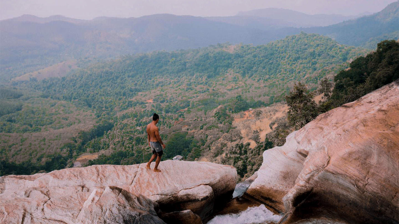
Il panorama che si aprirà davanti a voi sarà mozzafiato. Potrete vedere tra le valli dei fiumi Uma Oya, Badulu Oya e Loggal Oya, mentre avrete una vista da aquila delle pianure alluvionali di Mahaweli che si estendono fino a Trincomalee. Saranno visibili anche le lontane montagne di Kehelpathdoruwa e Yahanagala, le catene montuose di Nayabedda, Madulsima e Poonagala, il Passo di Idalgasinna e il Passo di Haputale; le pendici di Randenigala e il verde ondulato delle Horton Plains. Il gigante della catena montuosa di Namunakula è molto più vicino, con molti altri luoghi da vedere e riconoscere. Questi bellissimi paesaggi si estendono dalla cima in un panorama colorato, che si vede solo nei dipinti.
La cima stessa ha una zona pianeggiante dove potrete riposarvi e rinfrescarvi prima di iniziare la discesa. Ma assicuratevi di non lasciare rifiuti. L'intera escursione durerà dalle sei alle otto ore a seconda della vostra esperienza e del vostro ritmo.

Luoghi speciali a Badulla
-
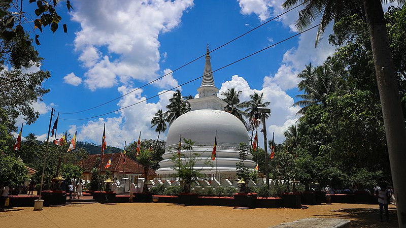 Muthiyangana Raja Maha Vihara
Il Muthiyanganaya Raja Maha Viharaya si trova nel centro della città di Badulla. La storia di questo tempio risale all'epoca del Buddha, ma la zona intorno a Badulla risale addirittura al XIX-XVIII secolo a.C.
-
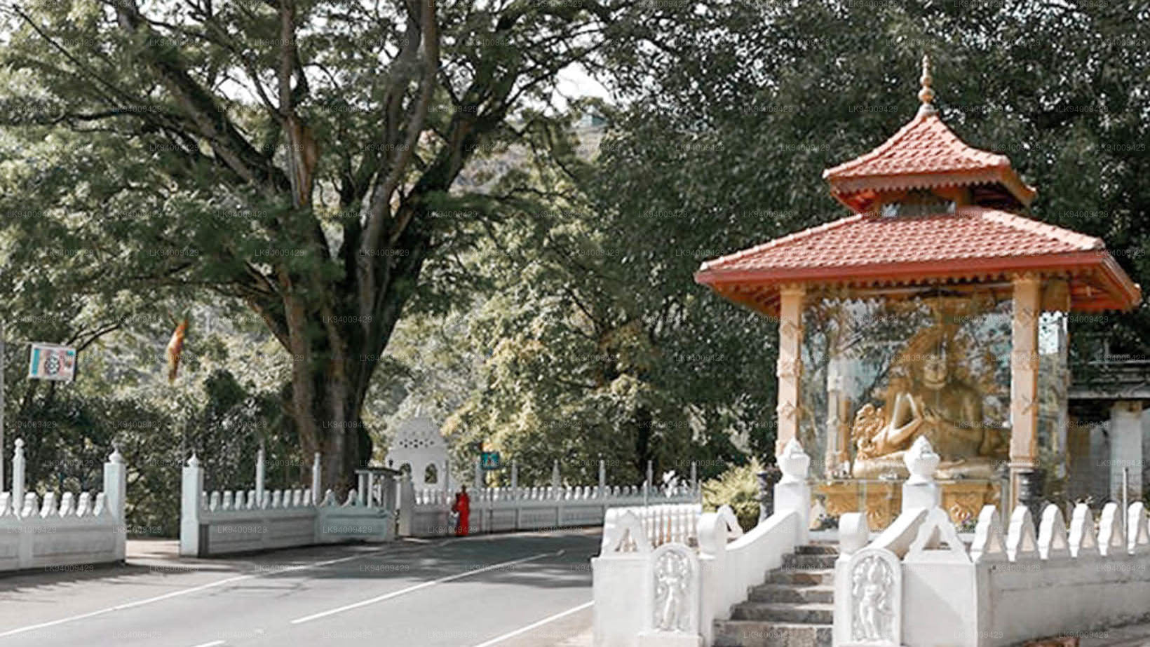 Dowa Raja Maha Viharaya
Il Dowa Raja Maha Viharaya (Tempio di Capo Dowa) si trova a pochi chilometri dalla città di Bandarawela, sulla strada Bandarawela-Badulla. Si ritiene che questo tempio sia stato costruito dal re Walagamba nel I secolo a.C.
-
 Ponte di legno di Bogoda
Il ponte di legno di Bogoda fu costruito nel XVI secolo durante l'era Dambadeniya. Si dice che sia il più antico ponte di legno ancora esistente in Sri Lanka. Il ponte si trova a 7 chilometri (4,3 miglia) a ovest di Badulla.
-
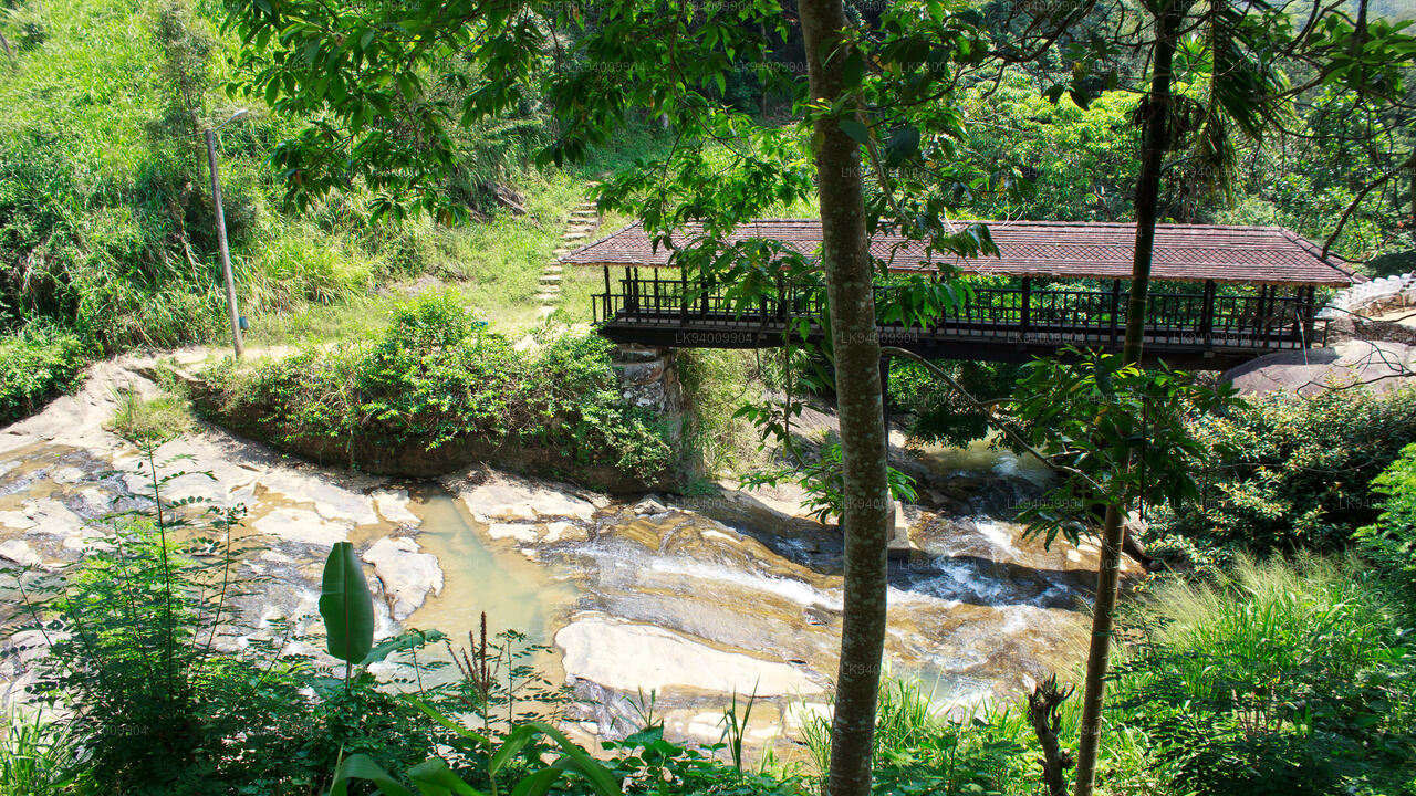
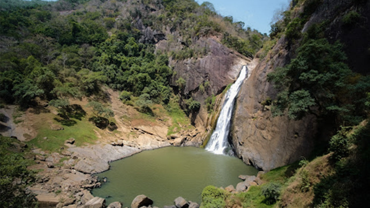 Cascate di Dunhinda
Le cascate di Dunhinda si trovano a circa 5 km dalla città di Badulla. Sono alte 63 metri e sono considerate tra le cascate più belle dello Sri Lanka. Il nome "rugiada" deriva dalle fumose gocce di rugiada che ne spruzzano l'acqua.