Gommolliya Peak
-
 Kirigalpotta
Con un'altezza massima di 2388 m (7835 piedi) sul livello del mare, il monte Kirigalpoththa in Sri Lanka incombe sul distretto di Nuwara Eliya, proiettando la sua ombra sulla città principale. Questa montagna è la seconda più alta dell'isola paradisiaca dello Sri Lanka e la più alta dell'isola.
-
 Thotupola Kanda
Il Totapolakanda è la terza montagna più alta dello Sri Lanka, situata nel distretto di Nuwara Eliya, a 2.357 m sul livello del mare. La montagna si trova all'interno del Parco Nazionale di Horton Plains. Un sentiero che porta alla cima della montagna, lungo circa due chilometri, inizia a pochi metri dall'ingresso Pattipola del Parco Nazionale di Horton Plains.
-
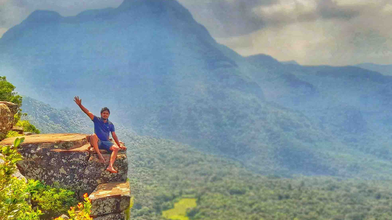
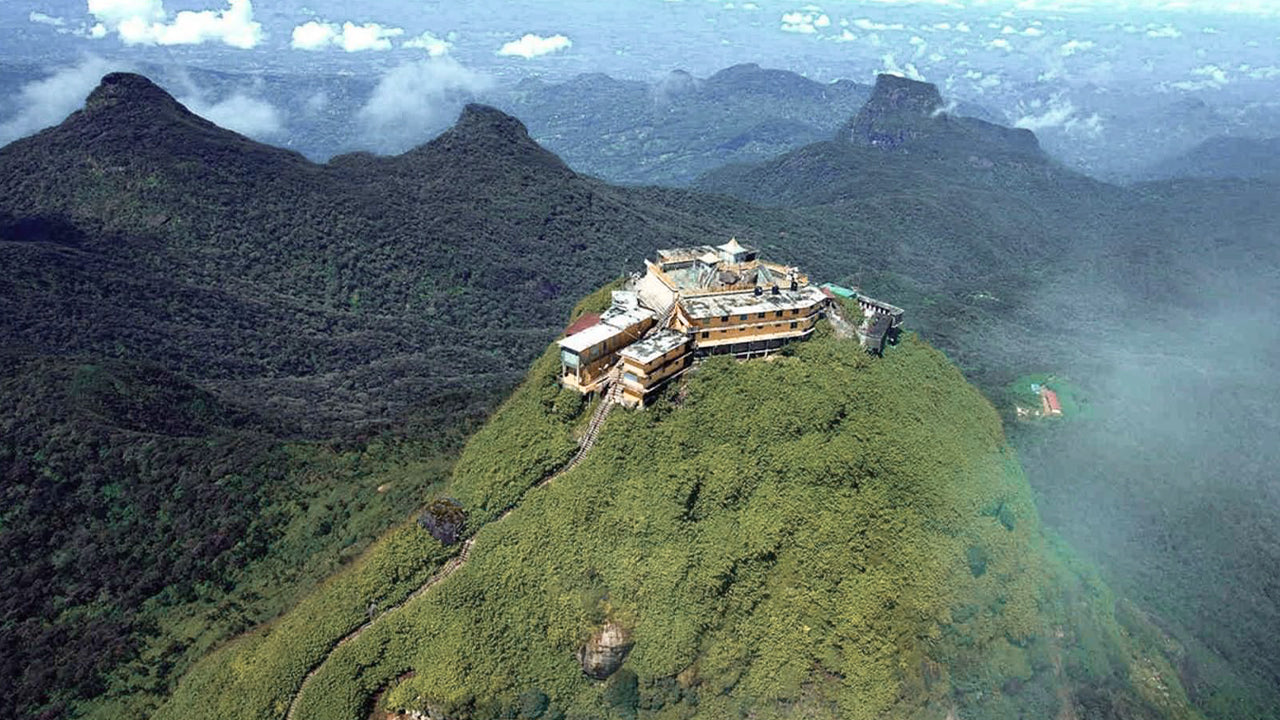 Picco di Adamo (montagna Sri Pada)
La caratteristica fisica più famosa di Ceylon è Adam's Peak, situato nel distretto di Ratnapura. Si trova ai margini del massiccio centrale, ma il gruppo montuoso circostante è chiamato "Wilderness of the Peak". È alto circa 2300 metri e, sebbene sia la seconda vetta più alta del paese, è...
-
 Picco Hakgala
Il picco di Hakgala si trova sugli altopiani centrali dello Sri Lanka, all'interno della Riserva Naturale Integrale di Hakgala. Si trova vicino alla città di Nuwara Eliya e fa parte della regione degli Altopiani Centrali, nota per i suoi paesaggi mozzafiato e il clima fresco.
-
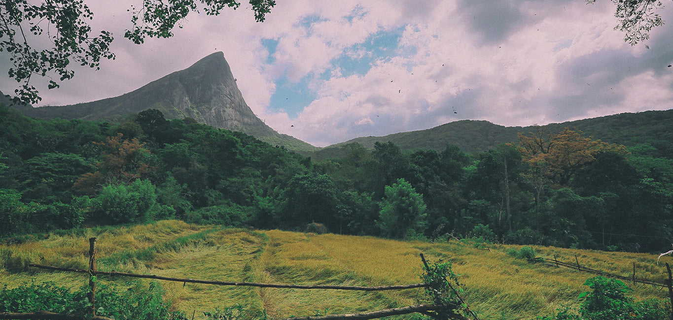
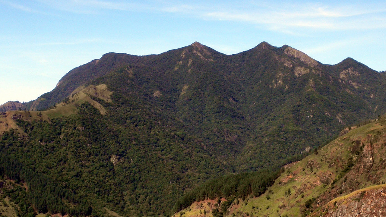 Gommolliya
Il picco Gommolliya fa parte della catena montuosa Knuckles, nello Sri Lanka centrale, un sito patrimonio mondiale dell'UNESCO noto per la sua biodiversità e la bellezza paesaggistica. La vetta si trova nel distretto di Kandy, negli altopiani centrali dello Sri Lanka.
-
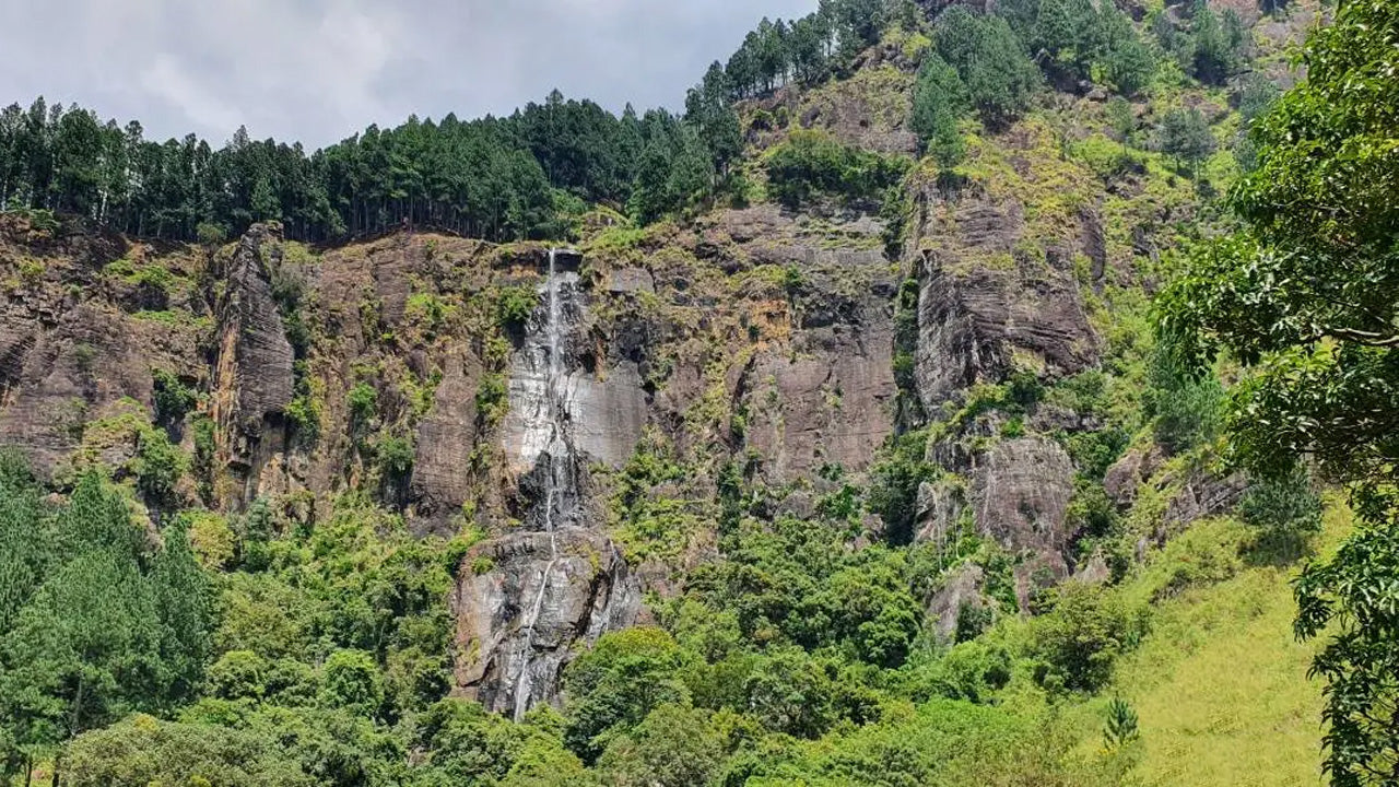 Picco di Bambarakanda
Il picco di Bambarakanda si trova nel distretto di Badulla, nello Sri Lanka, nella provincia di Uva. Fa parte degli altopiani centrali e si trova vicino alle famose cascate di Bambarakanda, le più alte dello Sri Lanka. La zona è rinomata per la sua vegetazione lussureggiante, il clima fresco e la straordinaria bellezza naturale.
-
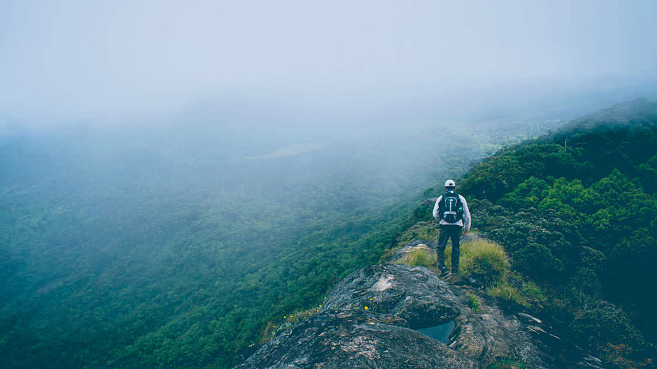
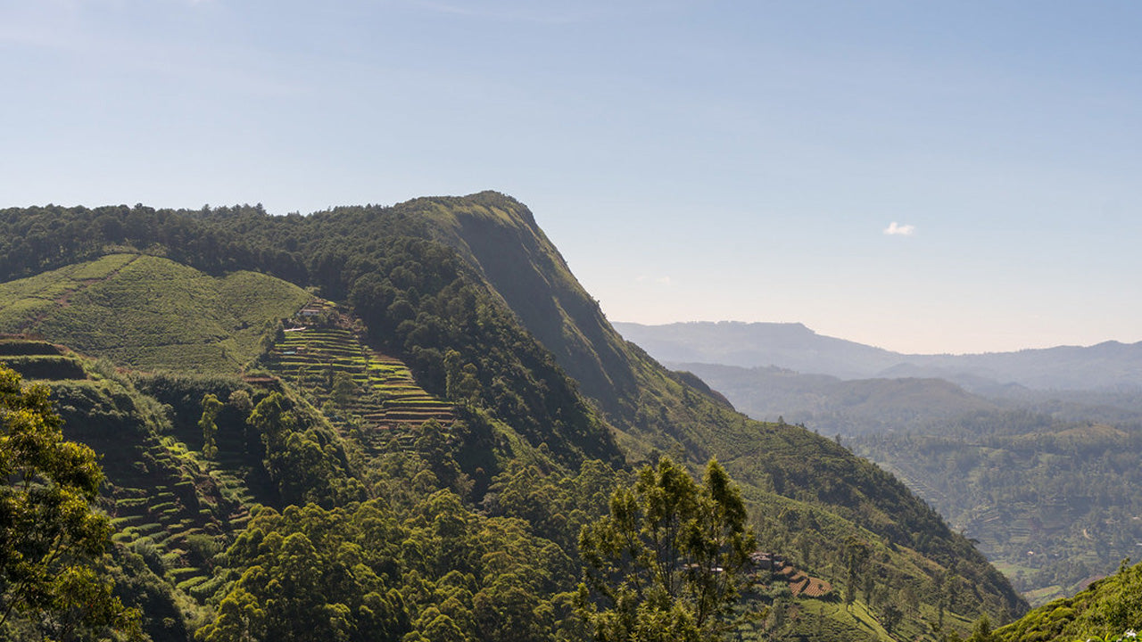
 Picco di Riverston
Il Riverston Peak in Sri Lanka è raggiungibile percorrendo la strada Matale-Girandurukotte, a circa 30 km dalla città di Matale. Questa strada tortuosa e segreta, con i suoi tornanti stretti, offre alcuni dei panorami più belli sulla campagna circostante, tanto da essere soprannominata la "fine del mondo in miniatura".