Dambulla City
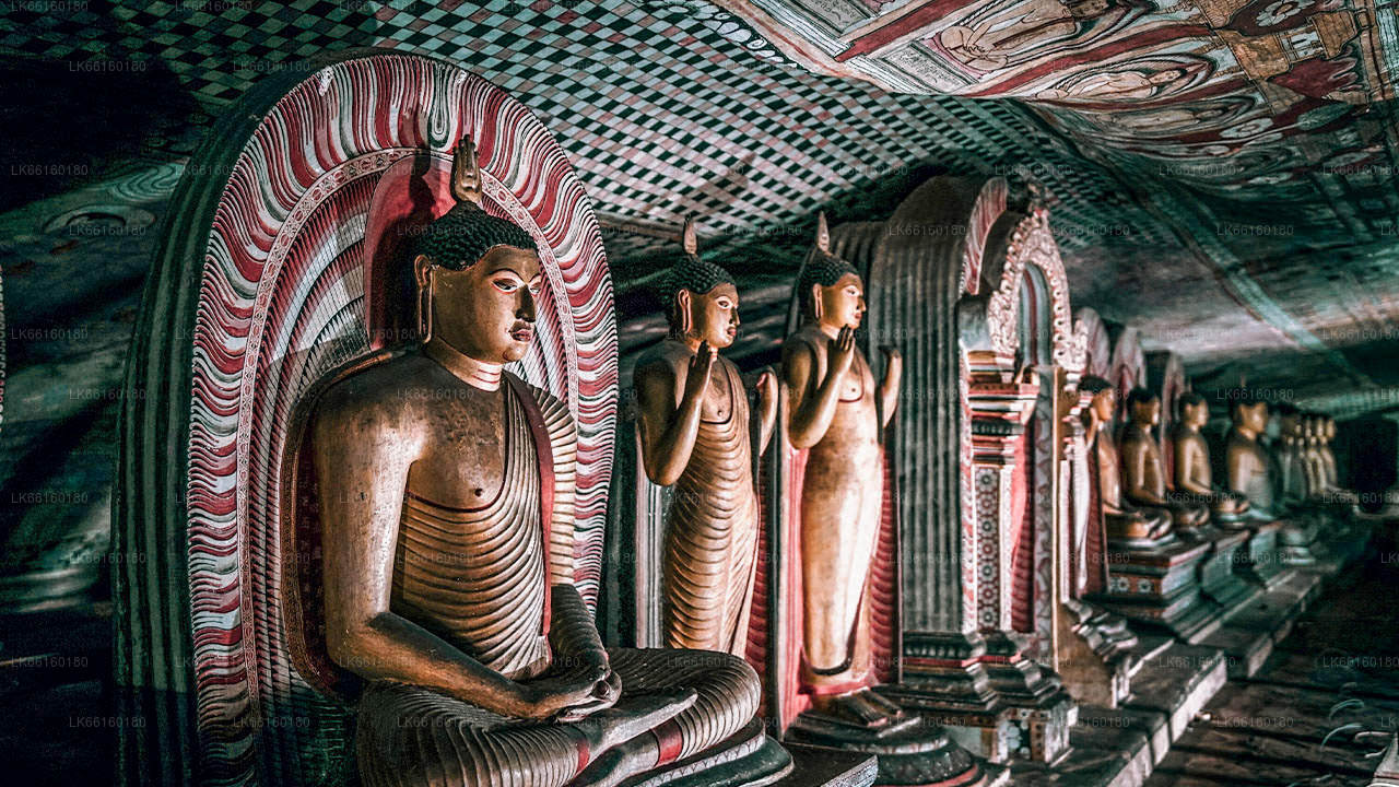
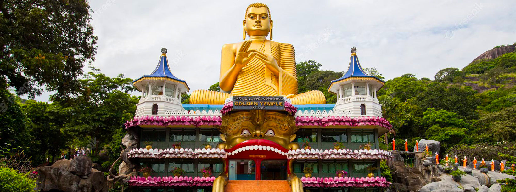
Journey into the heart of cultural splendor in Dambulla, where ancient history meets modern exploration. Uncover the marvels of the UNESCO-listed Dambulla Cave Temple, meander through vibrant markets, and savor the unique fusion of tradition and innovation in this enchanting Sri Lankan town.
Ibbankatuwa Wewa
Dambulu Oya River ist ein Süßwasserfluss in der zentralen Region von Sri Lanka, der durch Gebiete in der Nähe von Dambulla fließt. Er spielt eine wichtige Rolle bei der Unterstützung der Landwirtschaft und der Aufrechterhaltung lokaler Ökosysteme und trägt zur landschaftlichen Schönheit der Umgebung bei.
Der Fluss ist von üppiger Vegetation, Reisfeldern und Waldflächen umgeben, die eine Vielzahl von Pflanzen- und Tierarten unterstützen. Sein Wasser bietet Lebensraum für Fische, Vögel und kleine aquatische Arten, was ihn zu einem wichtigen Bestandteil des ökologischen Gleichgewichts der Region macht.
Besucher des Dambulu Oya River können die friedliche Umgebung genießen, das ländliche Leben in Dörfern beobachten und die natürliche Umgebung im Inneren von Sri Lanka erleben. Die Flussufer bieten Gelegenheiten zur Entspannung, zu Naturwanderungen und zur Fotografie, insbesondere in Gebieten, in denen traditionelle Landwirtschaftspraktiken sichtbar sind.
Die beste Zeit, den Dambulu Oya River zu besuchen, ist während der Trockenzeit von Dezember bis April, wenn die Wetterbedingungen für Erkundungstouren im Freien geeignet sind. Der Fluss ist von Dambulla aus leicht zu erreichen und bietet ein ruhiges und erfrischendes Naturerlebnis im kulturellen Herzen von Sri Lanka.
About Matale District
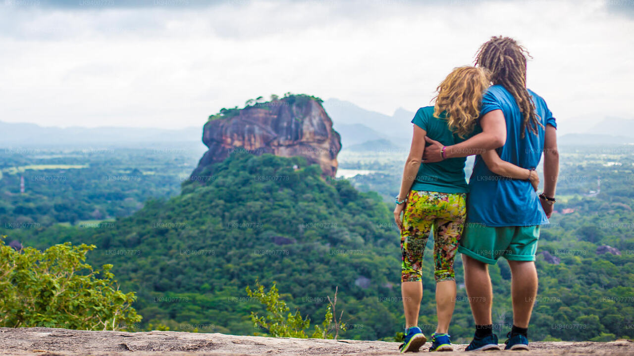
Matale is a town in the hill country of Sri Lanka. The Knuckles Mountain Range is a special landmark of Matale.The Matale administrative district also contains the historic Sigiriya rock castle, Aluvihare Temple and Dambulla Cave Temple . Surrounding the town are the Knuckles foothills called Wiltshire. It is a mainly agricultural area, where tea, rubber, vegetable and spice cultivation dominate.
The Aluvihare Temple, on the North side of the town, is the historic location where the Pali Canon was first written down completely in text on ola (palm) leaves. Situated near Aluvihare are numerous monastery caves, some of which exhibit fine frescoes.
About Central Province
The Central Province of Sri Lanka consists primarily of mountainous terrain. The province has an area of 5,674 km², and a population of 2,421,148. Some major towns include Kandy, Gampola (24,730), Nuwara Eliya and Bandarawela. The population is a mixture of Sinhalese, Tamil and the Moors.
Both the hill capital Kandy and the city of Nuwara Eliya are located within the Central Province as well as Sri Pada. The province produces much of the famous Ceylon tea, planted by the British in the 1860s after a devastating disease killed all the coffee plantations in the province. Central Province attracts many tourists, with hill station towns such as Kandy, Gampola, Hatton and Nuwara Eliya. Temple tooth or Dalada maligawa is the main sacred place in Centrel province.
The climate is cool, and many areas about 1500 meters often have chilly nights. The western slopes are very wet, some places having almost 7000 mm of rain per year. The eastern slopes are parts of the mid-dry zone as it is receiving rain only from North-Eastern monsoon. The Temperatures range from 24°C at Kandy to just 16°C in Nuwara Eliya, which is located 1,889 m above sea level. The highest mountains in Sri Lanka are located in the Central Province. The terrain is mostly mountainous, with deep valleys cutting into it. The two main mountain regions are the central massif and the Knuckles range to the east of Kandy.