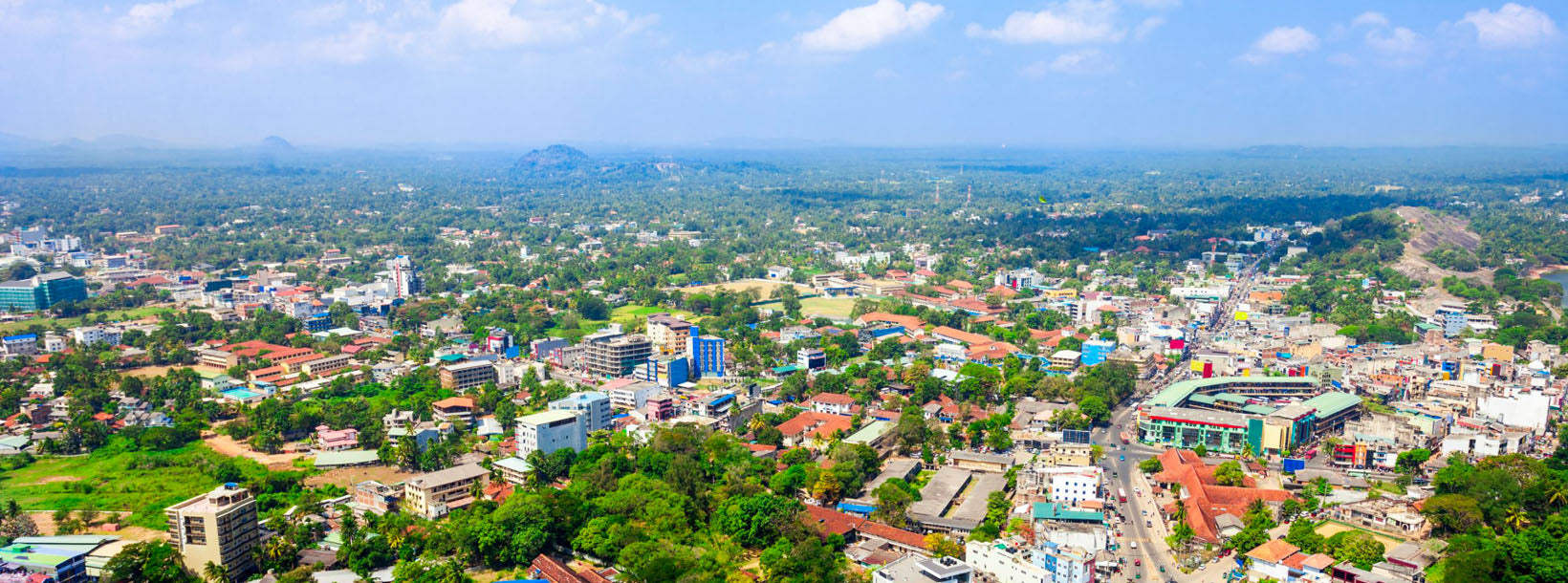
Hora Galgiriya
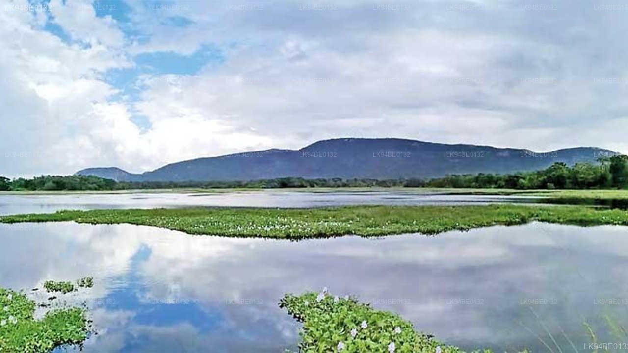
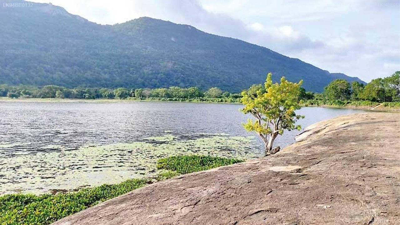
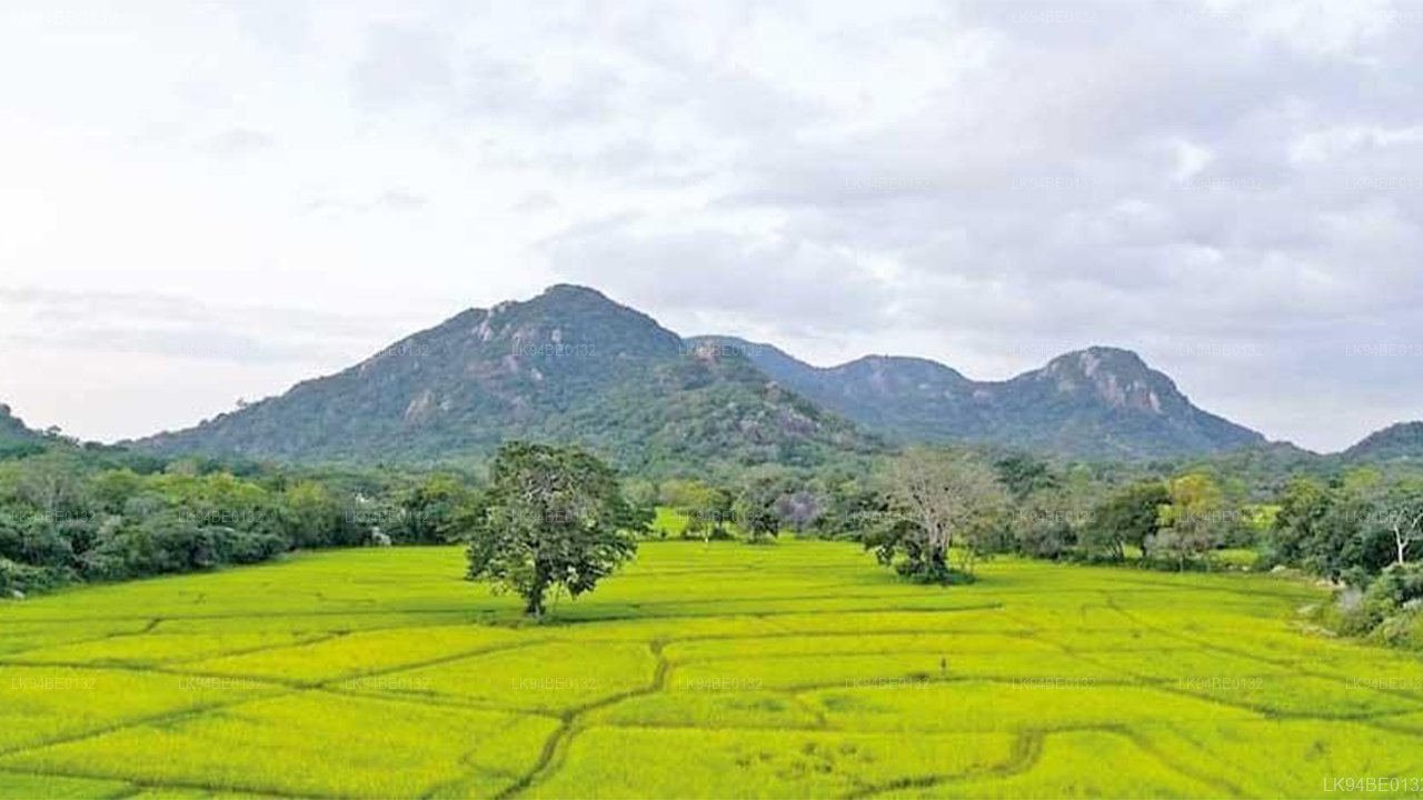
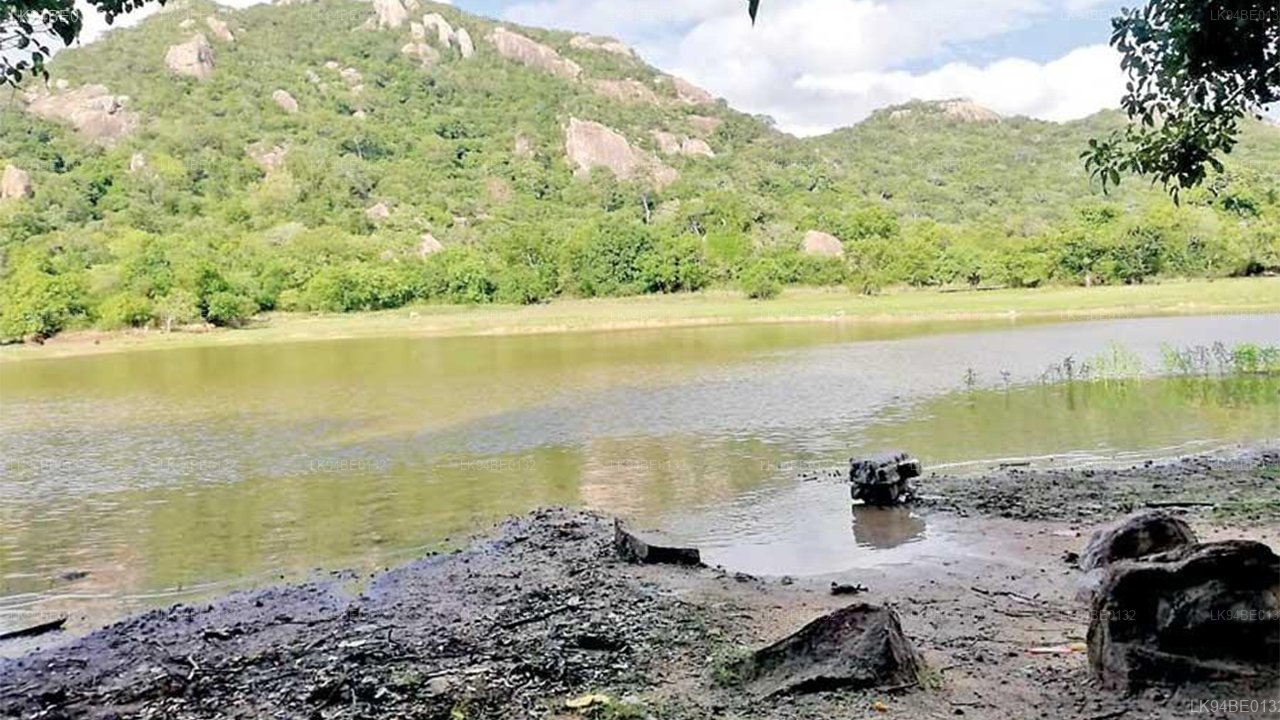
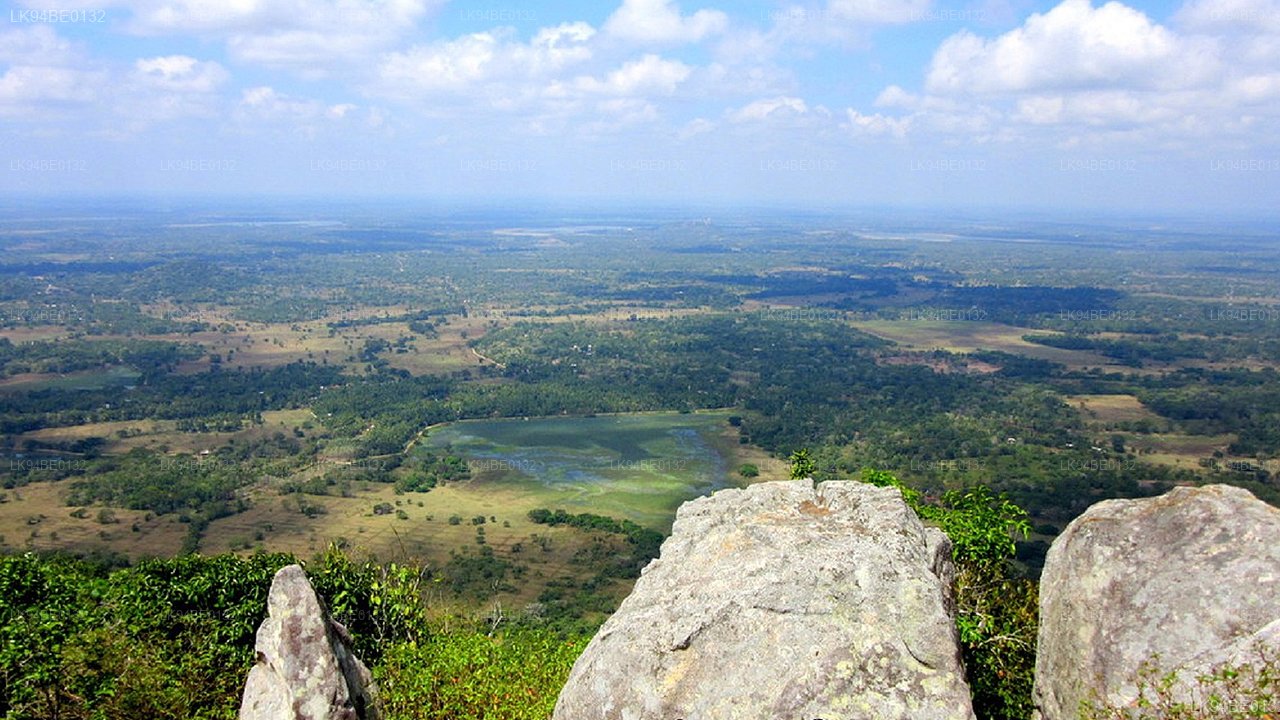
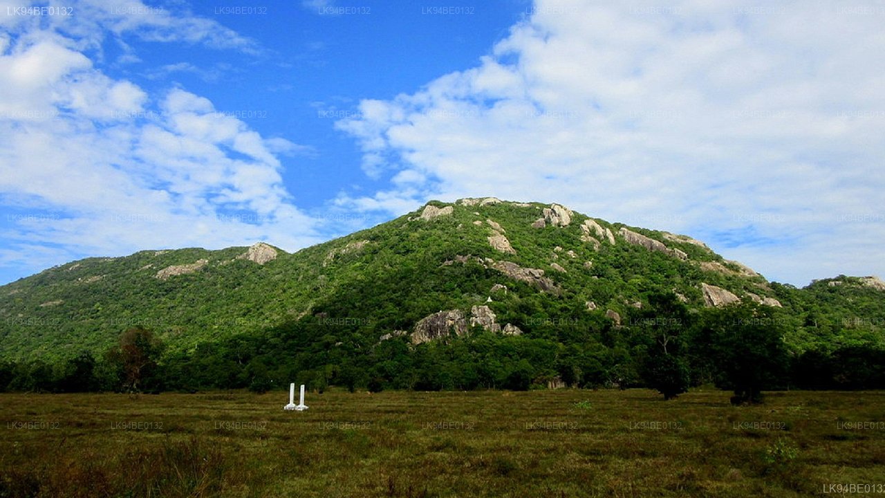
Galgiriya Mountain dlouhý 11 km je známý jako nejdelší hora v Sri Lance. Hora se nachází v administrativním okrsku Ahatuwewa v oblasti Galgamuwa a spadá pod správu okresu Kurunegala. S touto horou je spojeno mnoho lidových pověstí.
Ze všeho nejvíce se v této oblasti rozvíjí příběh Saliya a Ashokamaly. Historicky se přijímá, že princ Saliya, syn krále Dutugemunu, si vzal Ashokamalu a přišel žít na Galgiriya Mountain. Mnoho důkazů a svědectví podporujících tuto historii je stále k nalezení na hoře Galgiriya, i dnes. Hora Galgiriya, kdysi považována za místo, kde se odehrál příběh lásky Saliya a Ashokamaly, je nyní posvátným místem uctívání pro mnichy Aranya Senasana (mniši žijící v lesích), kteří praktikují meditaci. Historické záznamy potvrzují, že princ Saliya tuto oblast vládl jako místní vůdce a postavil nádrže a kanály pro podporu zemědělství. Každý, kdo dnes tuto oblast navštíví, může být svědkem zemědělské obnovy, která vznikla díky jeho úsilí.
Galgiriya Mountain je rodnou zemí prince Saliya, který, jako místní vládce, učinil tuto oblast velmi prosperující. Skalní jeskyně svědčí o tom, že Arahath Theras (osvícení mniši) zde žili.
V této hoře jsou vytesány kotle a kamenné nápisy potvrzují, že osvícení mniši žili v tomto rozsáhlém lese. Posvátné místo na hoře Galgiriya s bohatým dědictvím bylo objeveno v roce 1962 Arahapolou Vipassi Therou. Do té doby byla tato oblast pokryta hustou džunglí. Vipassi Thera přišel na toto místo a strávil čas meditováním. Později přišli další mniši a začali praktikovat meditaci. Od té doby se toto místo stalo Aranya Senasana (lesní klášter). V současnosti v Aranya Senasana na hoře Galgiriya žije asi 12 mnichů, kteří provádějí meditaci. Tento lesní klášter vlastní přibližně 60-70 akrů a zahrnuje více než 20 skalních jeskyní. V této oblasti jsou čtyři hlavní kamenné nápisy, přičemž většina z nich byla již zničena a nápisy byly smazány. Kromě toho jsou v skalních jeskyních nápisy, které naznačují, že osvícení mniši zde žili v minulosti. Kamenné nápisy a nápisy v jeskyních zmiňují, že princ Saliya daroval tuto horu a skalní jeskyně Pussadeva Arahath Therovi. V současnosti je tento lesní klášter registrován u Archeologického úřadu. Zatímco byla provedena studie jeho kamenných nápisů a nápisů v jeskyních, žádný jiný výzkum dosud nebyl proveden, podle Galgiriya Kanda Aranya Senadhipathi, Vitharanagama Sumedha Thery.
Tato oblast se také pyšní nejúspěšnějším systémem kaskádových nádrží v Sath Korala, vycházejícím z hory Galgiriya. S vodními prameny pocházejícími z hory Galgiriya bylo přibližně čtyři sta dvacet nádrží v oblasti nepřetržitě zásobováno vodou až do dnešního dne. Výzkumník folklóru Karunaratne Mahagamarala řekl, že voda z hory Galgiriya putuje až k nádrži Tabbowa.
Další zvláštností hory Galgiriya je přítomnost dvou nádrží na vrcholu hory; což je vlastnost, kterou žádná jiná hora na tomto ostrově nemůže nabídnout. Obě nádrže se předpokládá, že byly postaveny princem Saliou. První nádrž na této hoře je Ahas Wewa, nacházející se blízko Maligathenny. Druhá nádrž byla postavena přes místo, kde voda z Ahas Wewa znovu vystupuje.