Gommolliya Peak
Location:
Gommolliya Peak is part of the Knuckles Mountain Range in central Sri Lanka, a UNESCO World Heritage Site known for its biodiversity and scenic beauty. The peak is located in the Kandy District, which is in the central highlands of Sri Lanka.
Height:
Gommolliya Peak has an elevation of approximately 1,866 meters (6,122 feet) above sea level, making it one of the prominent peaks in the Knuckles Range.
Notable Features:
1. Geographical Significance:
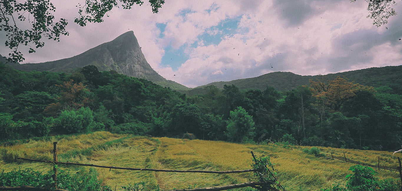
The Knuckles Mountain Range, including Gommolliya, is known for its unique topography, characterized by jagged peaks and deep valleys, often resembling the knuckles of a hand, hence the name. The range offers panoramic views of the surrounding hills and valleys, making it a popular destination for hikers and trekkers.
2. Flora and Fauna:
The Knuckles Range, where Gommolliya is located, is rich in biodiversity. The forests in the area are home to various species of flora and fauna, some of which are endemic to Sri Lanka. Common wildlife in the area includes wild boars, deer, monkeys, and several species of birds. The region is also known for its diverse plant life, including numerous endemic species.
3. Trekking and Hiking:
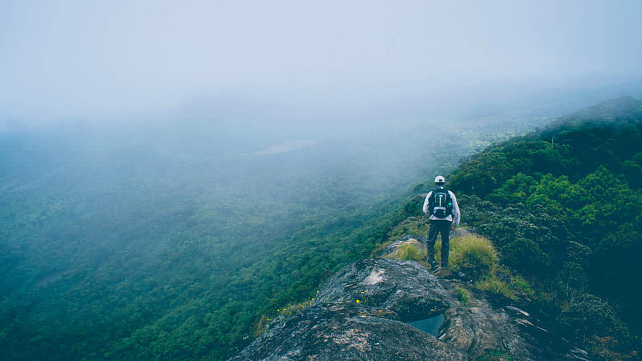
Gommolliya Peak is part of the trekking routes in the Knuckles Mountain Range. The hike to the peak can be challenging, as it involves navigating through dense forests and steep terrain. Trekking to Gommolliya offers breathtaking views of the surrounding mountain ranges, valleys, and tea plantations.
4. Scenic Views:
From the summit of Gommolliya Peak, trekkers are treated to stunning panoramic views of the central highlands of Sri Lanka, including vistas of the Victoria Reservoir, Hunnasgiriya, and the distant Pidurutalagala (the highest peak in Sri Lanka). The area also offers beautiful views of the Knuckles Range and the surrounding landscapes, with mist and cloud cover creating a mystical atmosphere.
5. Climate:
The climate around Gommolliya Peak is cool and temperate due to its elevation. The weather can be unpredictable, with fog and mist frequently covering the area, especially in the mornings and evenings. It is common to experience rainfall, contributing to the lush greenery in the region.
6. Access:
The peak is accessible via a trek from the nearest town or village. While the route to Gommolliya is not as popular as some other peaks in Sri Lanka, it is a well-known destination for experienced hikers looking to explore the Knuckles Mountain Range. Visitors typically trek through the forested areas of the range, with guides being recommended due to the challenging terrain.
Cultural and Environmental Significance:
The Knuckles Mountain Range, including Gommolliya Peak, has immense cultural and environmental importance. The region is a vital part of Sri Lanka's natural heritage, offering both conservation value and unique cultural experiences. It is a protected area, ensuring the preservation of its ecosystems and biodiversity.
?LK94008867: Images by Google, copyright(s) reserved by original authors.?

 基里加尔波塔
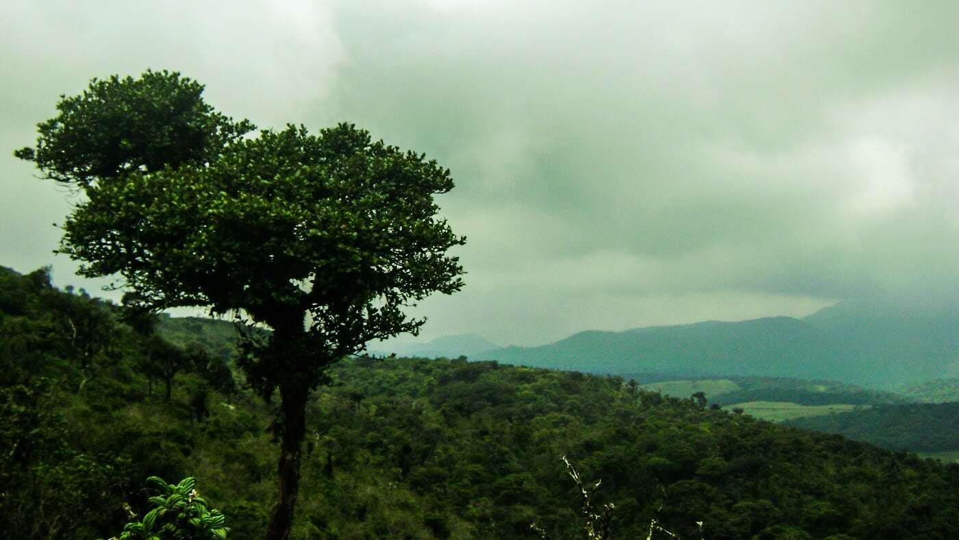 托图波拉·坎达
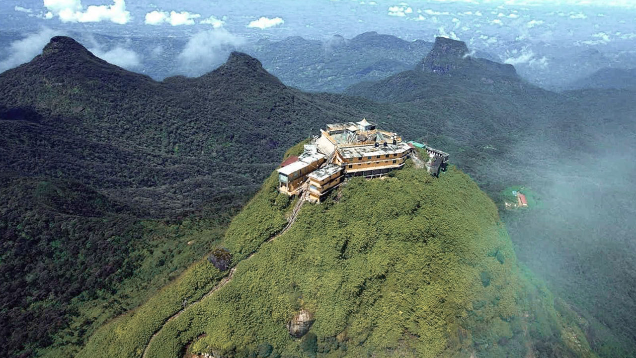 亚当峰(斯里帕达山)
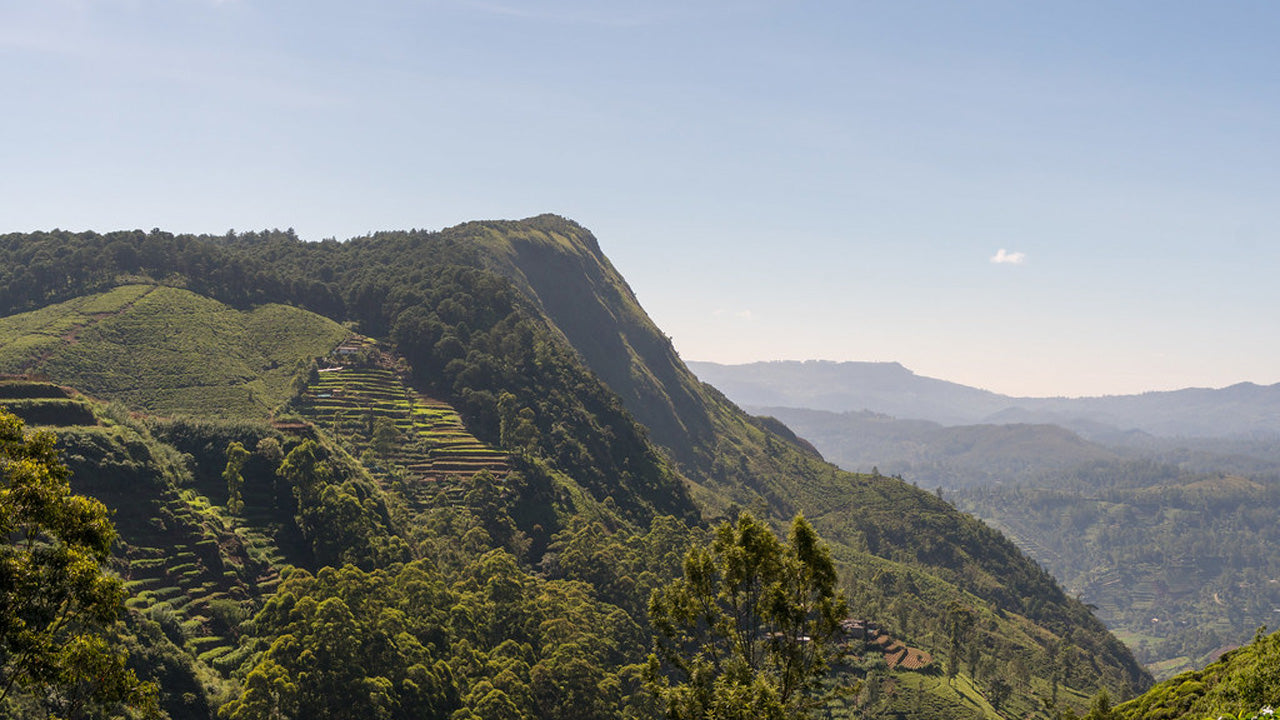 哈克加拉峰
哈克加拉峰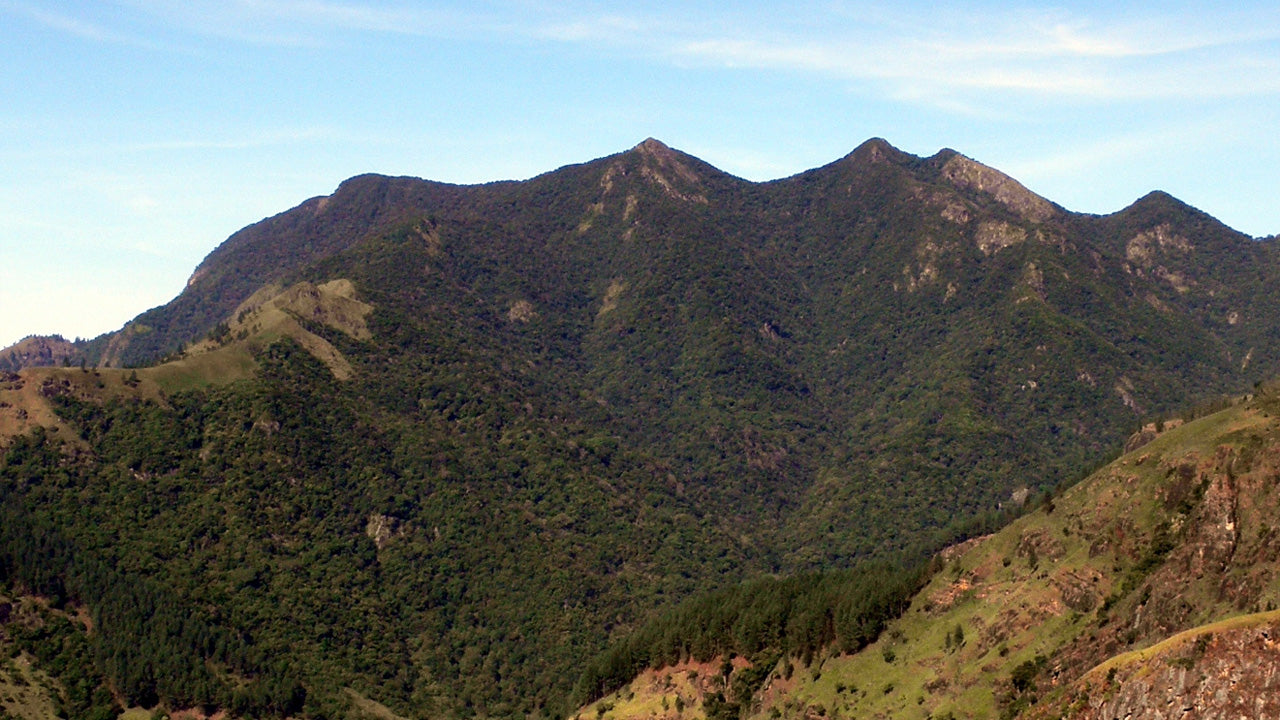 戈莫利亚
戈莫利亚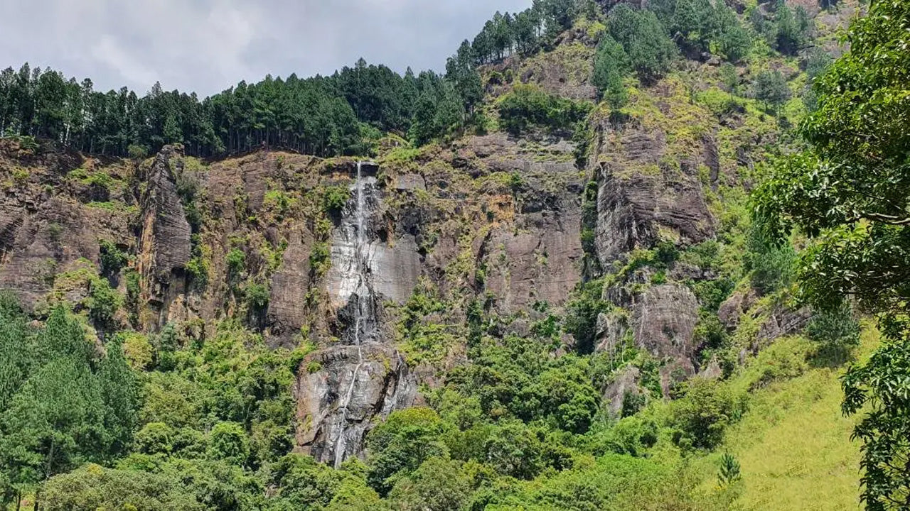 班巴拉坎达峰
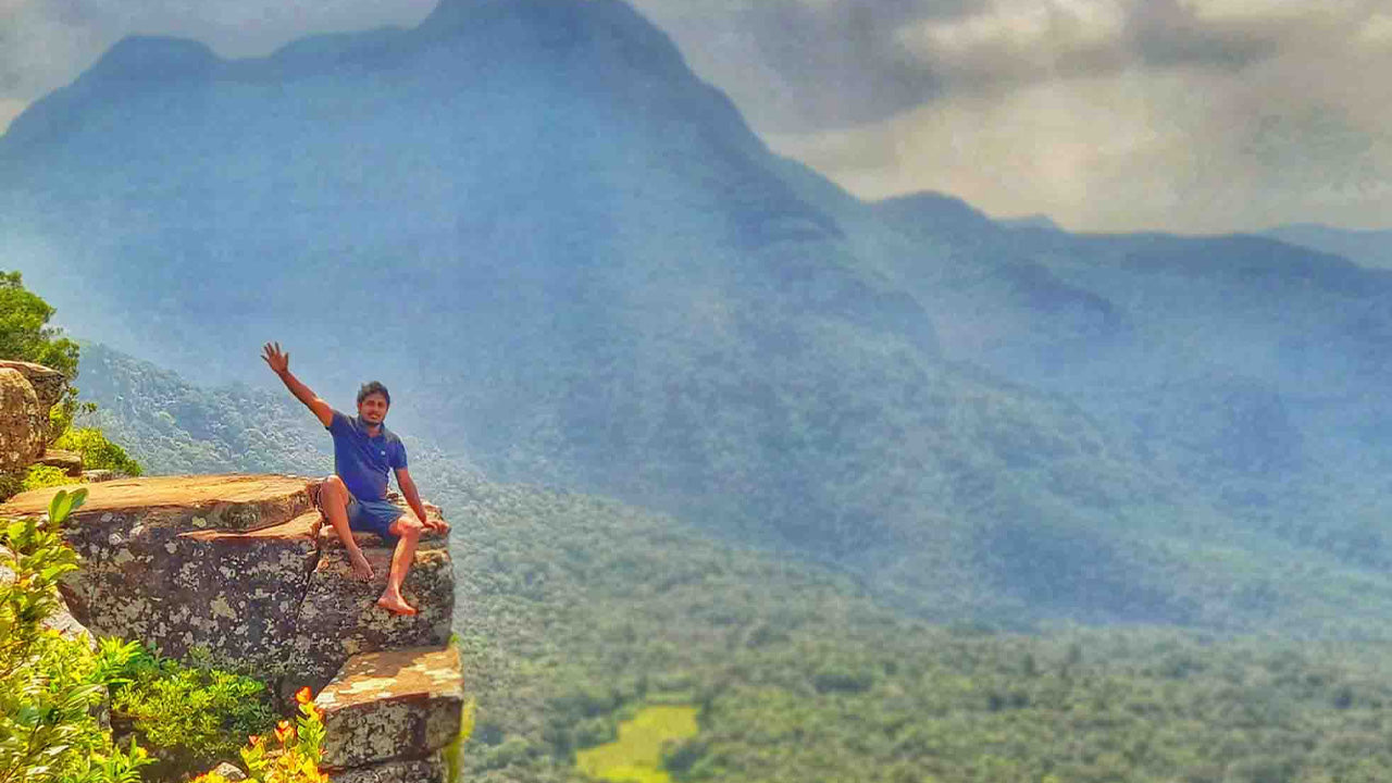 里弗斯顿峰
里弗斯顿峰