
Dystrykt Batticaloa
Districts of Sri Lanka
-
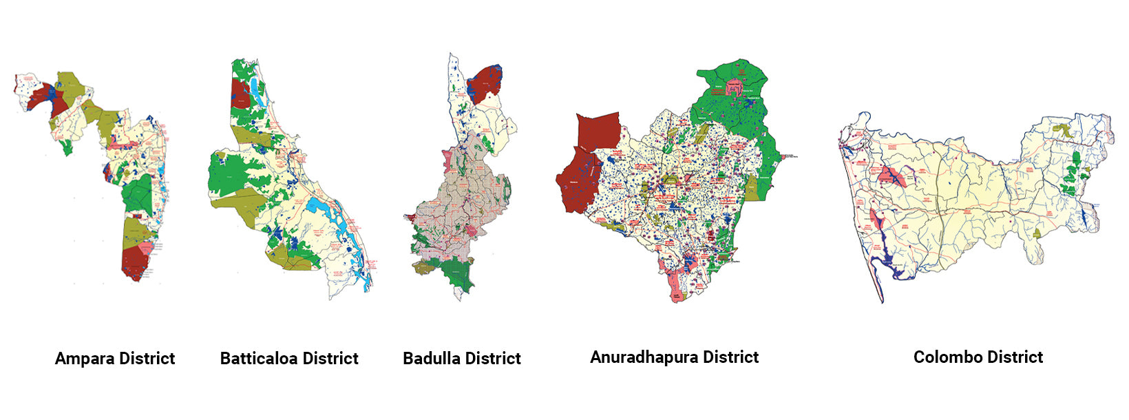
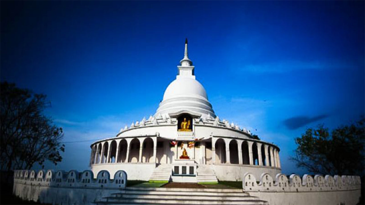 Ampara District
A district rich in agriculture, Ampara offers pristine beaches, historical Buddhist sites, and a diverse cultural landscape.
-
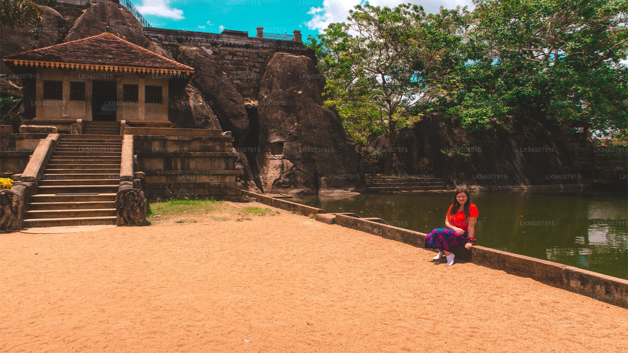 Anuradhapura District
One of the ancient capitals, Anuradhapura is a UNESCO World Heritage Site, rich with historic Buddhist monuments and temples.
-
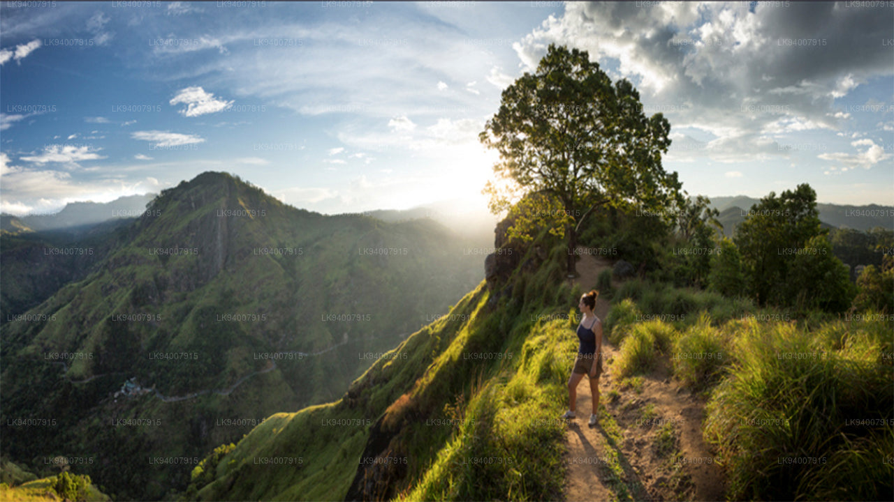 Badulla District
Badulla is a scenic district surrounded by mountains, tea plantations, and stunning waterfalls, offering a peaceful retreat.
-
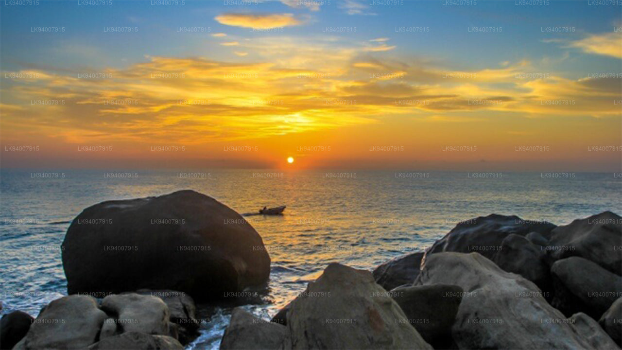 Batticaloa District
Known for its lagoons and beaches, Batticaloa is a serene district with a rich blend of Tamil and Muslim culture.
-
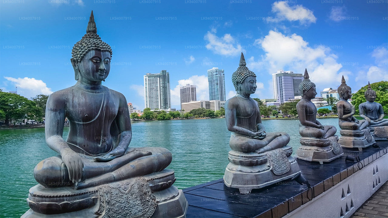 Colombo District
Sri Lanka’s bustling commercial capital, Colombo is a vibrant metropolis known for its urban landscape, colonial architecture, and coastal beauty.
-
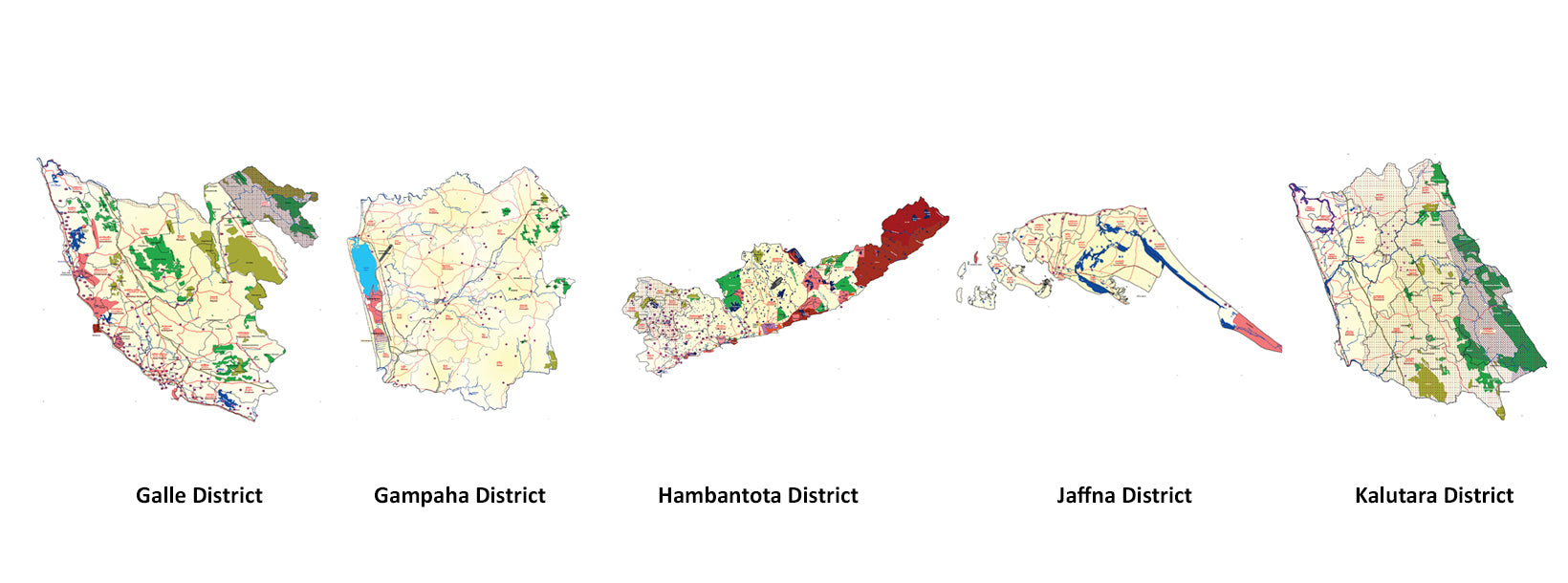
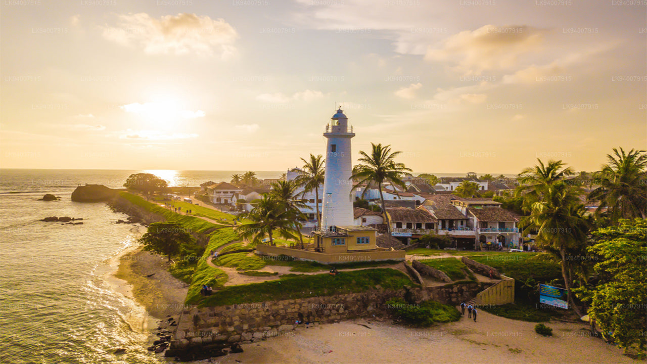 Galle District
A historic coastal district, Galle is famous for its UNESCO-listed Dutch Fort, pristine beaches, and rich colonial history.
-
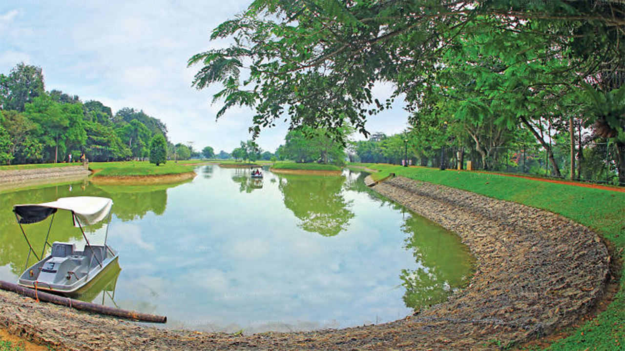 Gampaha District
A district blending urban and rural life, Gampaha is home to the Katunayake Airport and scenic beaches.
-
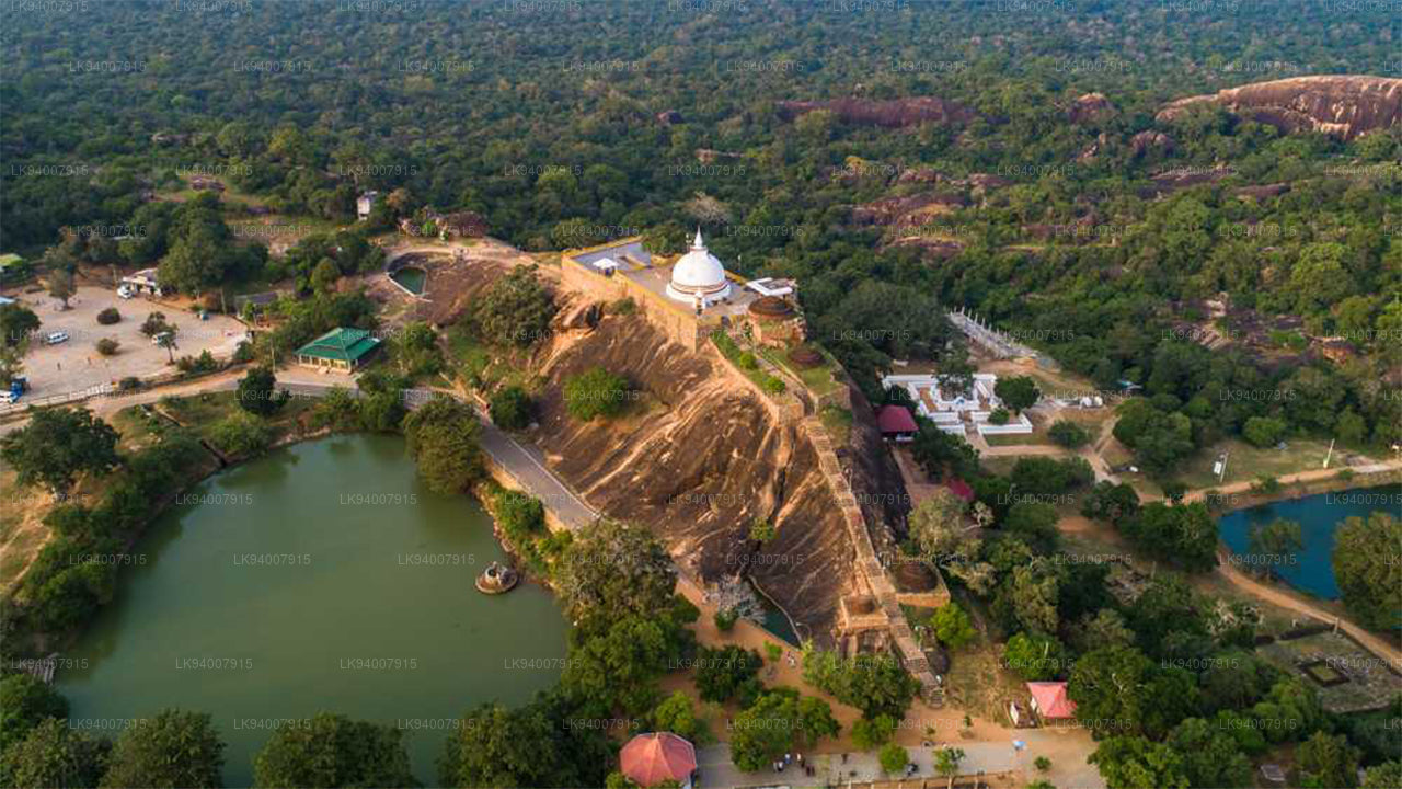 Hambantota District
Known for its wildlife parks, including Yala and Bundala, Hambantota is a growing hub of development and eco-tourism.
-
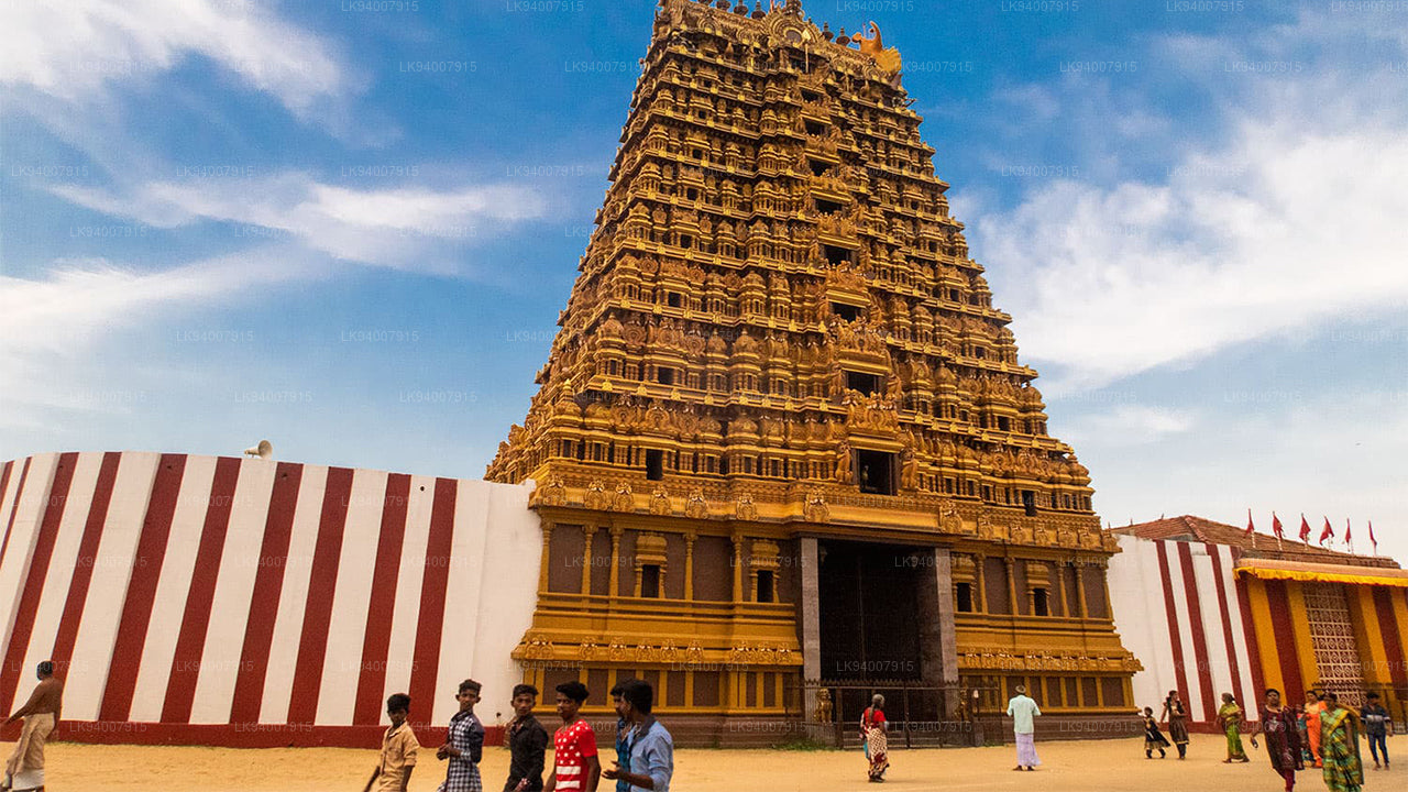 Jaffna District
The cultural center of Tamil heritage, Jaffna is known for its historic temples, vibrant culture, and rich history.
-
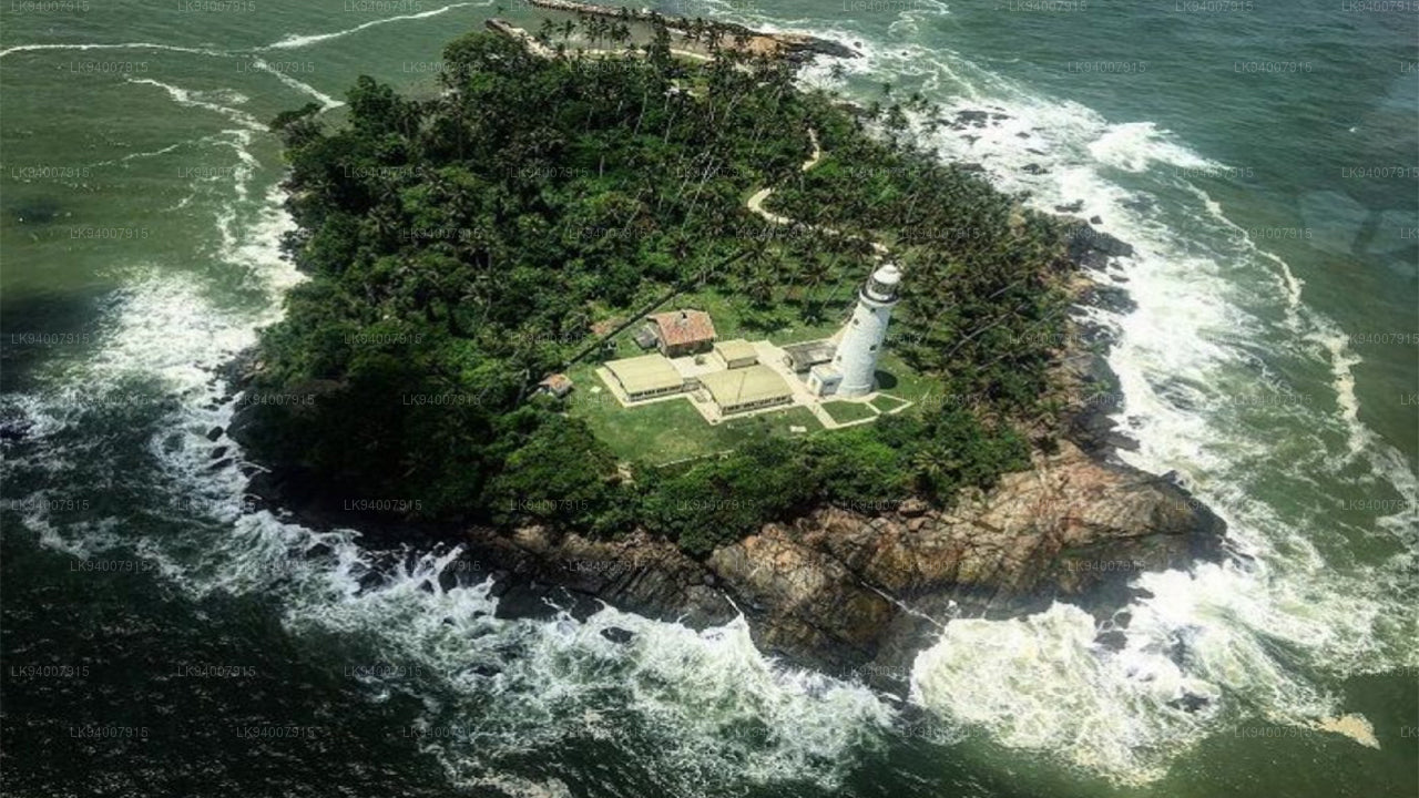 Kalutara District
Known for its historic Kalutara Bodhiya and beautiful beaches, Kalutara offers coastal charm and religious significance.
-
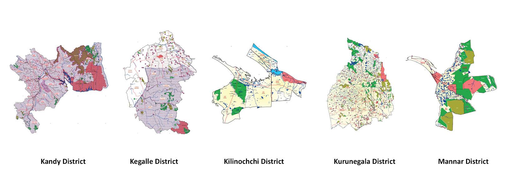
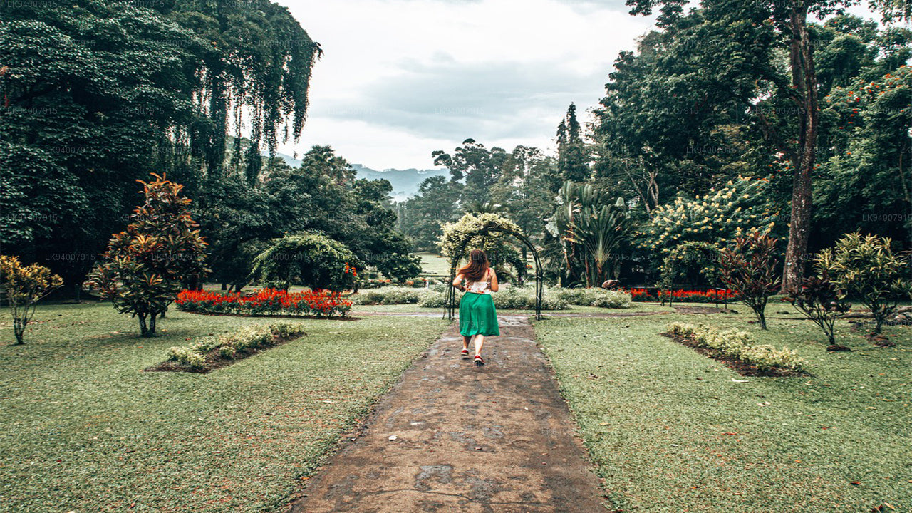 Kandy District
Famous for the Temple of the Tooth and its stunning lake, Kandy is the cultural heart of Sri Lanka and a UNESCO World Heritage Site.
-
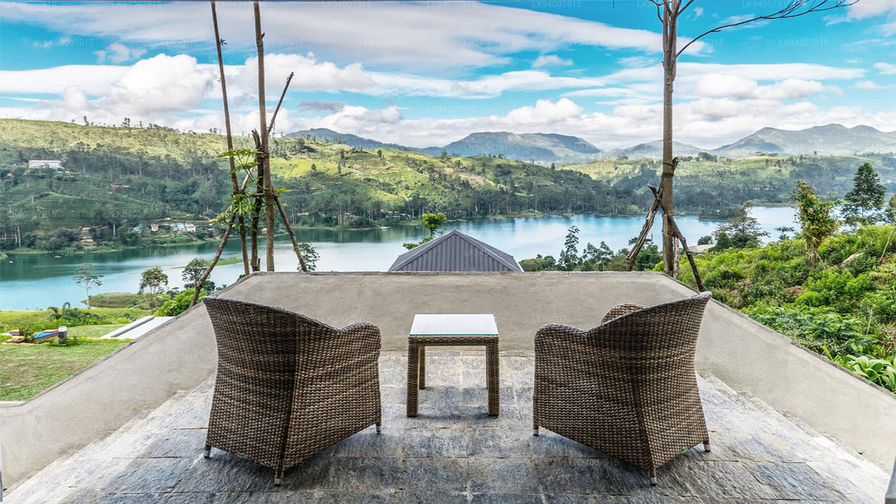 Kegalle District
Kegalle is known for its rubber plantations and the Pinnawala Elephant Orphanage, a popular tourist attraction.
-
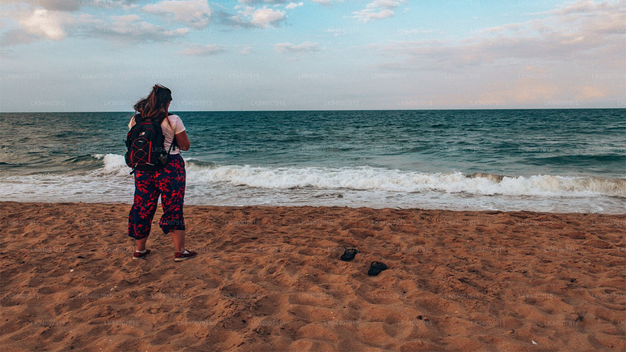 Kilinochchi District
A primarily agricultural district, Kilinochchi has seen rapid post-war development and is home to numerous water resources.
-
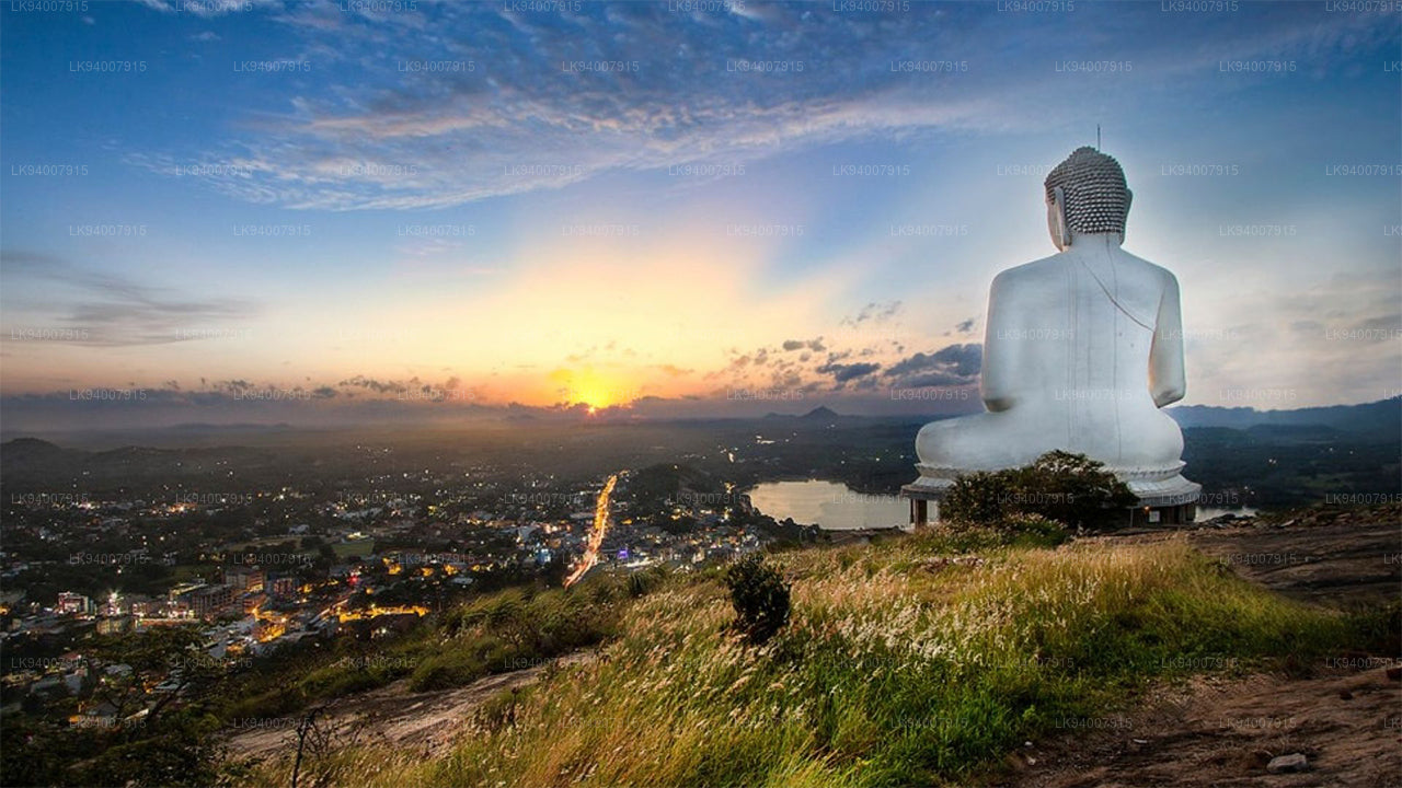 Kurunegala District
Famous for its elephant rock, Kurunegala is an agricultural hub surrounded by historic ruins and religious sites.
-
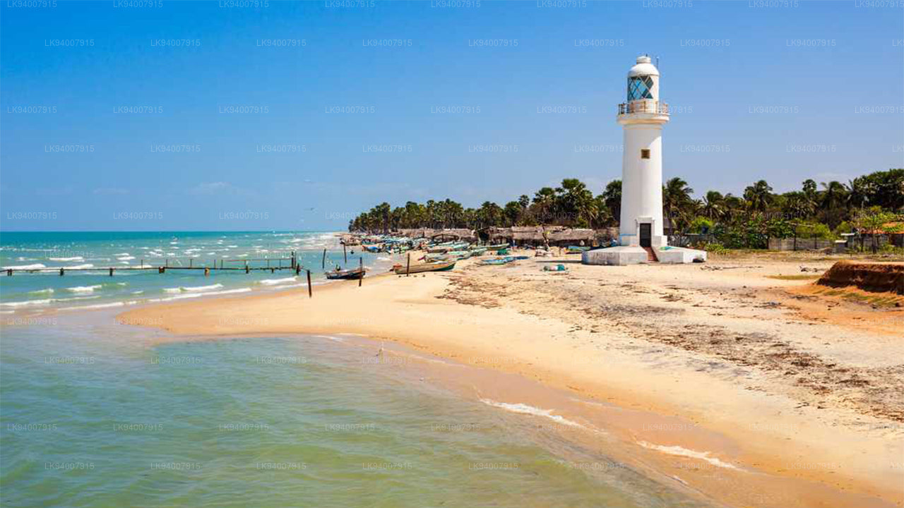 Mannar District
Famous for its unique landscapes, pearl fisheries, and the historic Mannar Fort, this district has a rich maritime history.
-
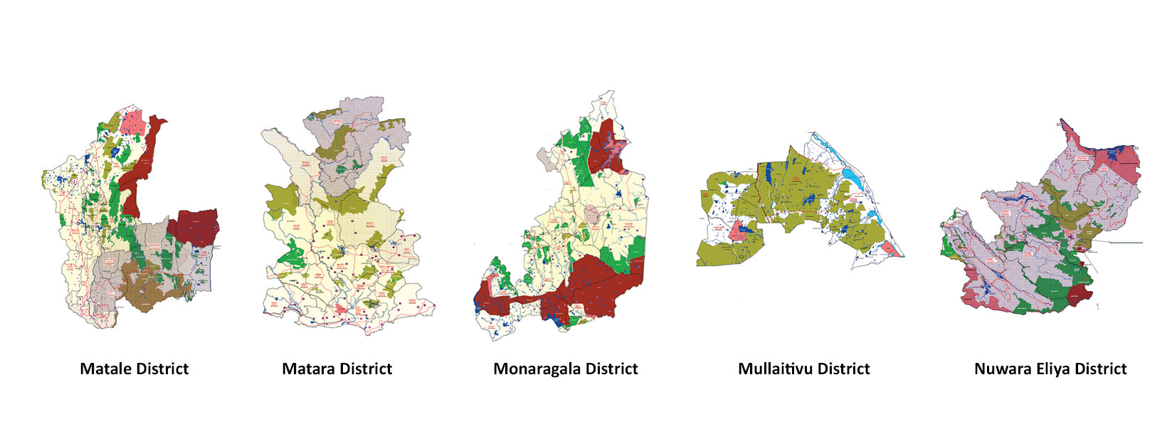
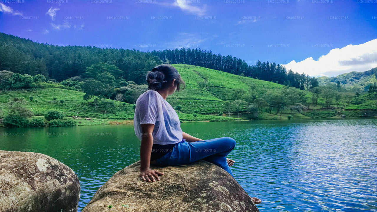 Matale District
A district filled with spice plantations, waterfalls, and historic temples, Matale offers scenic natural beauty.
-
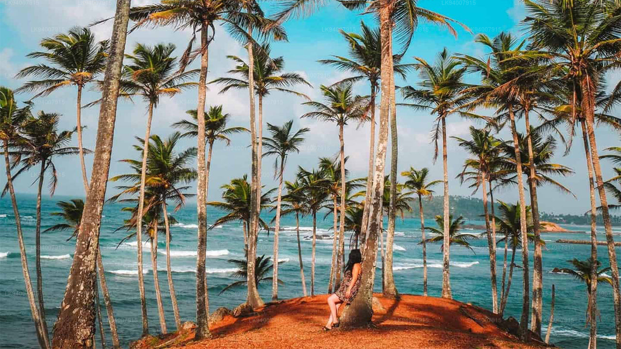 Matara District
Matara boasts stunning beaches, the Dondra Head lighthouse, and a mix of coastal and cultural attractions.
-
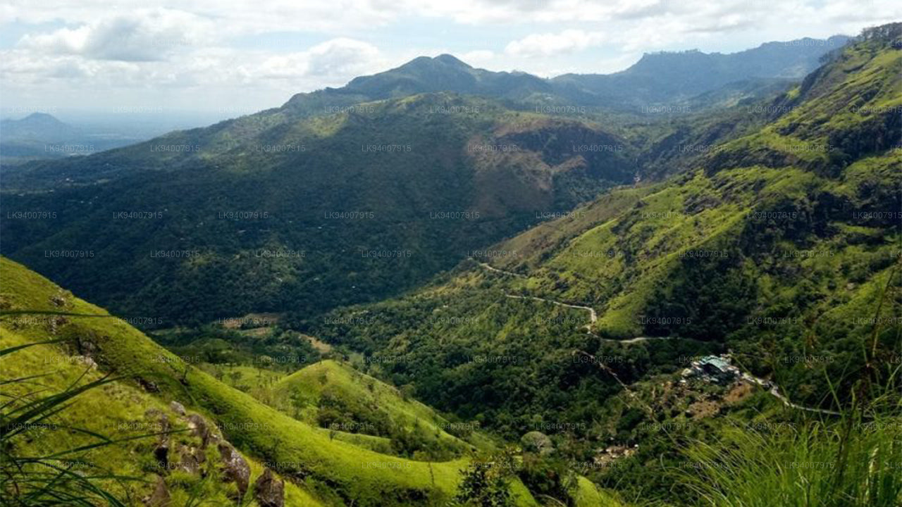 Monaragala District
Known for its rugged landscapes and rich biodiversity, Monaragala is an agricultural district with vast natural beauty.
-
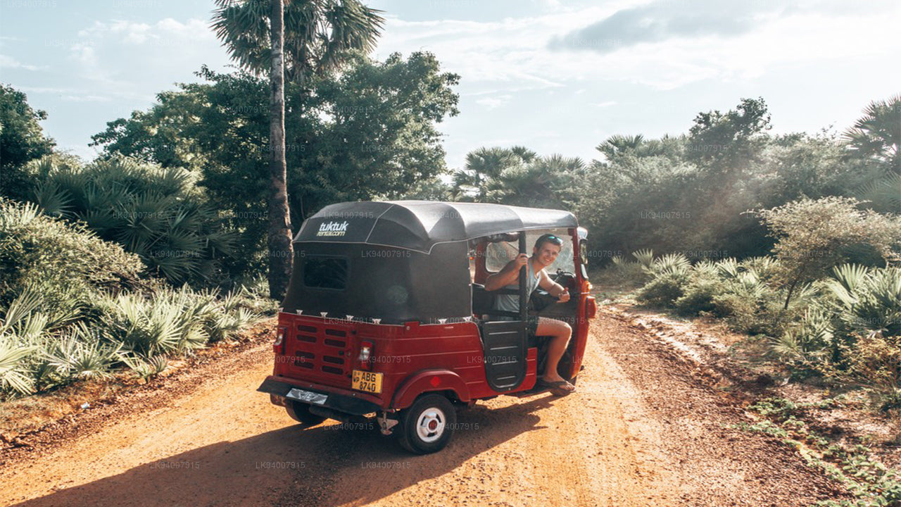 Mullaitivu District
A largely rural and coastal district, Mullaitivu is known for its beaches and significant history during the civil conflict.
-
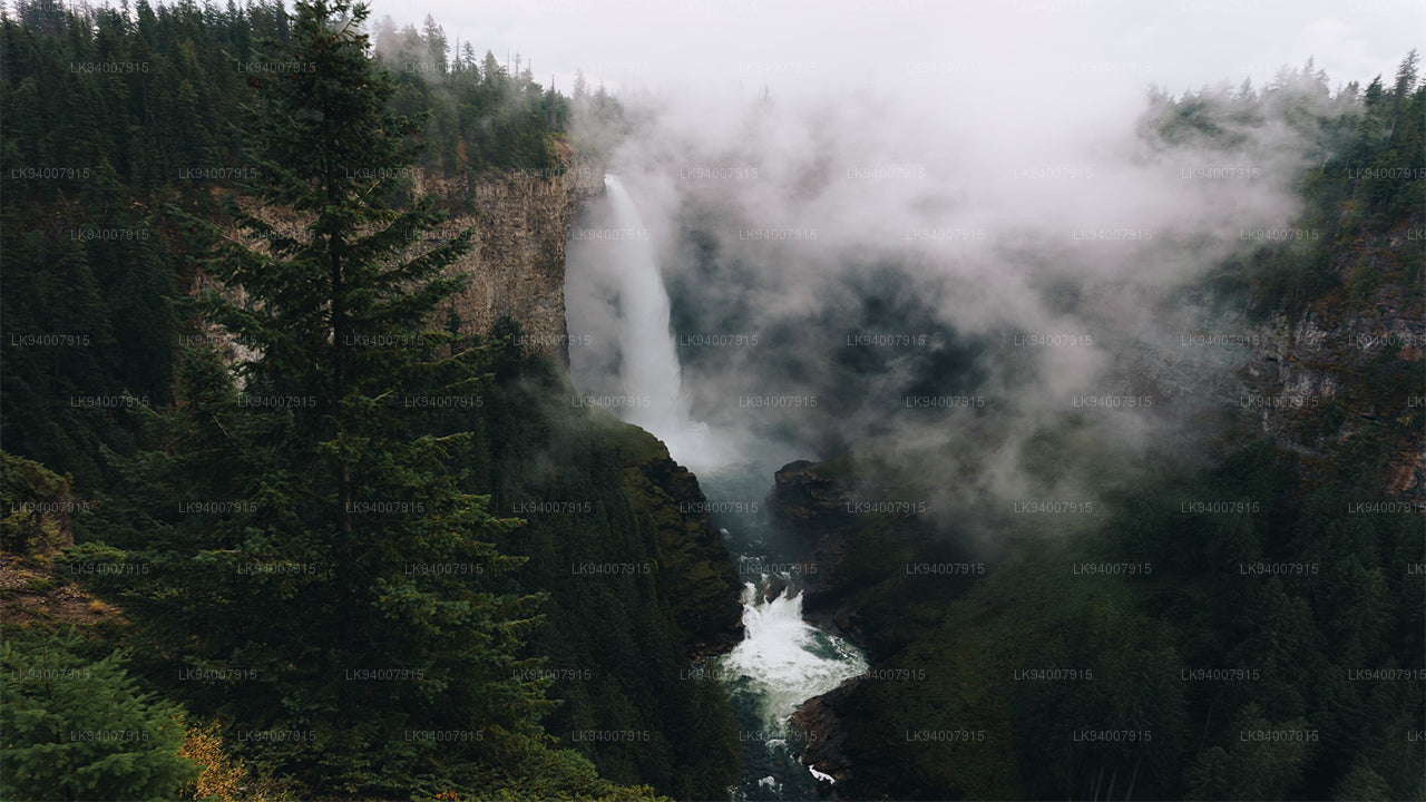 Nuwara Eliya District
Often called "Little England," Nuwara Eliya is renowned for its cool climate, tea plantations, and colonial architecture.
-
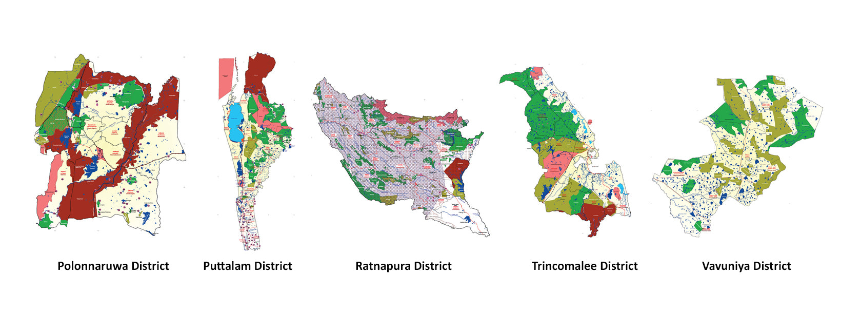
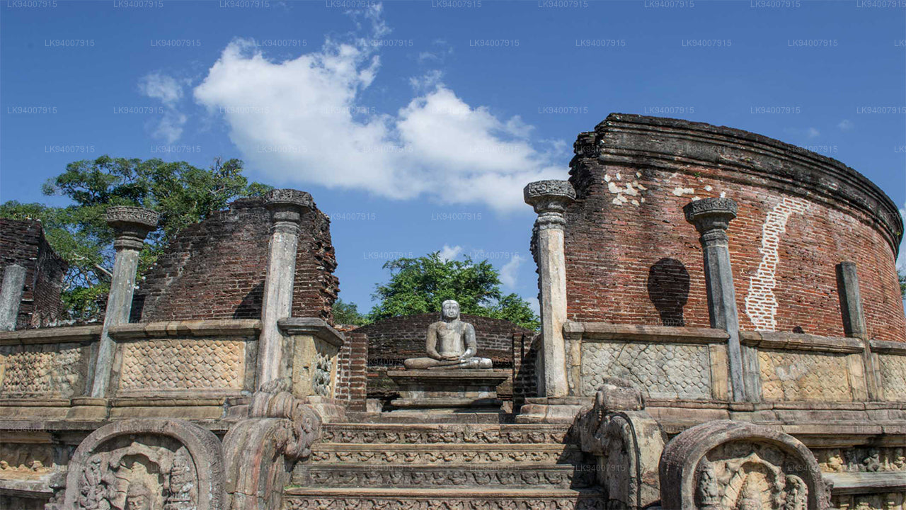 Polonnaruwa District
Polonnaruwa is a treasure trove of ancient ruins, including the famous Gal Vihara, and a key archaeological site.
-
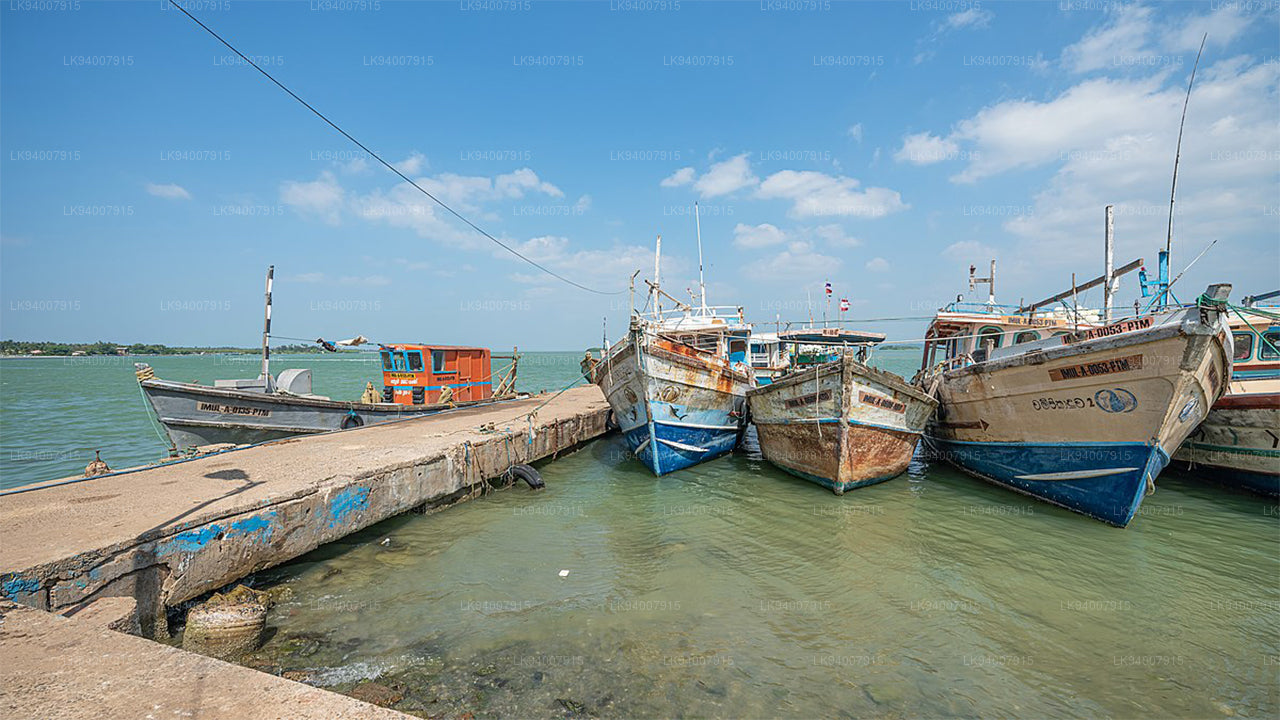 Puttalam District
Puttalam is known for its coastal lagoons, wildlife sanctuaries, and salt production, along with a growing wind energy sector.
-
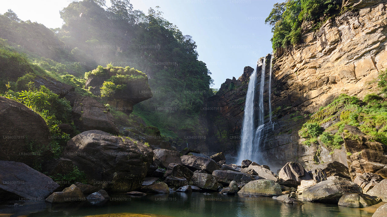 Ratnapura District
The "City of Gems," Ratnapura is famous for its gem mining and lush green landscapes filled with waterfalls and tea estates.
-
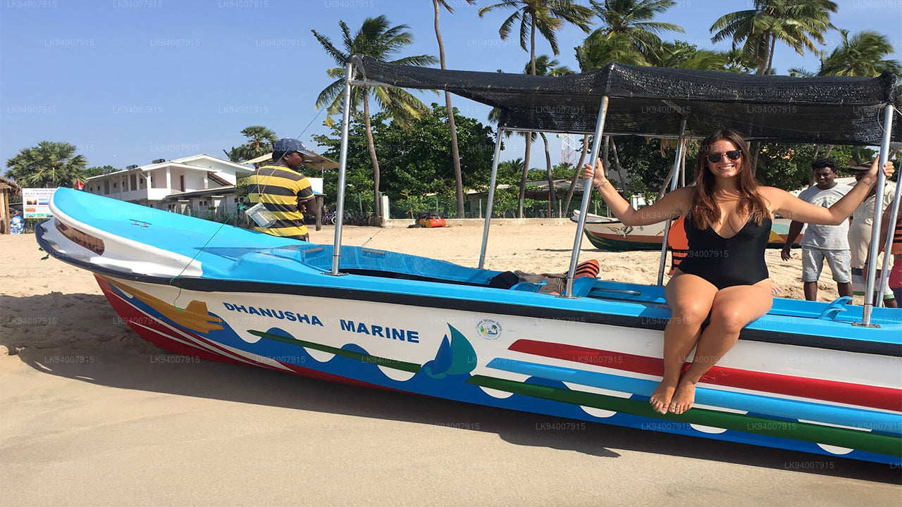 Trincomalee District
A coastal gem, Trincomalee is home to beautiful beaches, historic Hindu temples, and one of the world’s finest natural harbors.
-
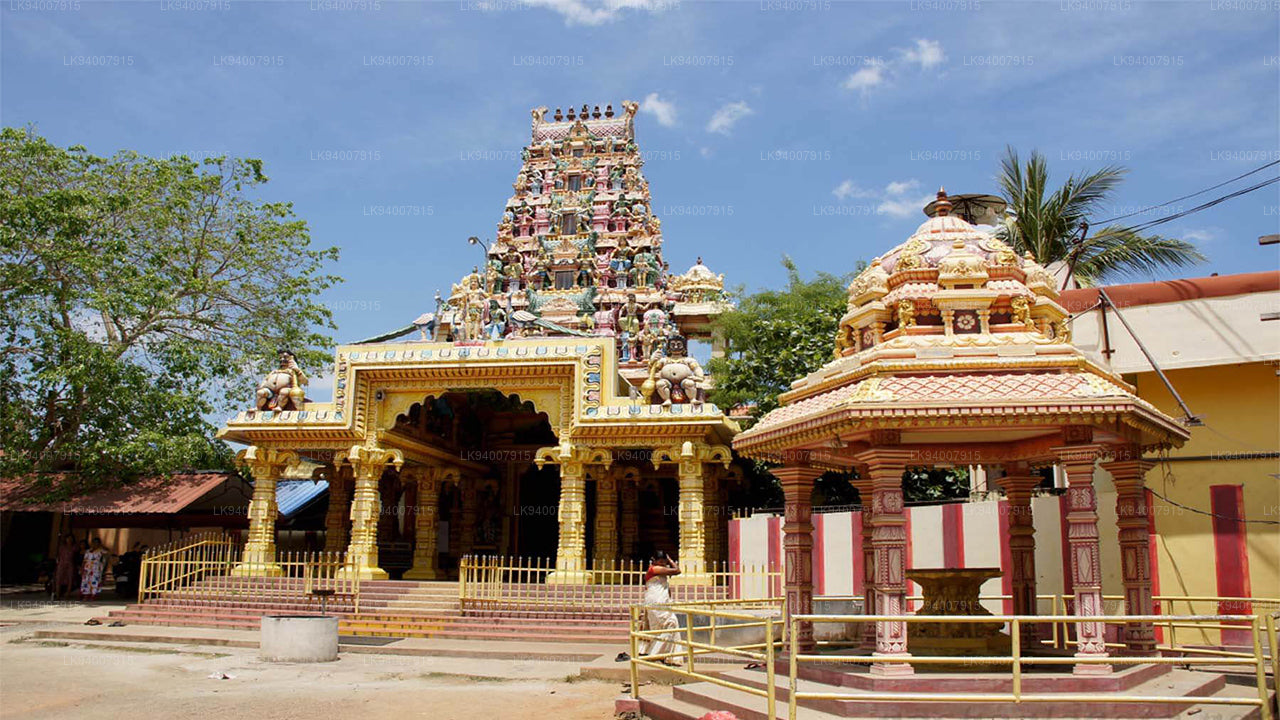 Vavuniya District
A key transit hub between the north and south, Vavuniya is known for its agriculture and growing urbanization.


