Watawala City


Watawala is a village in Sri Lanka. It is located within Central Province.
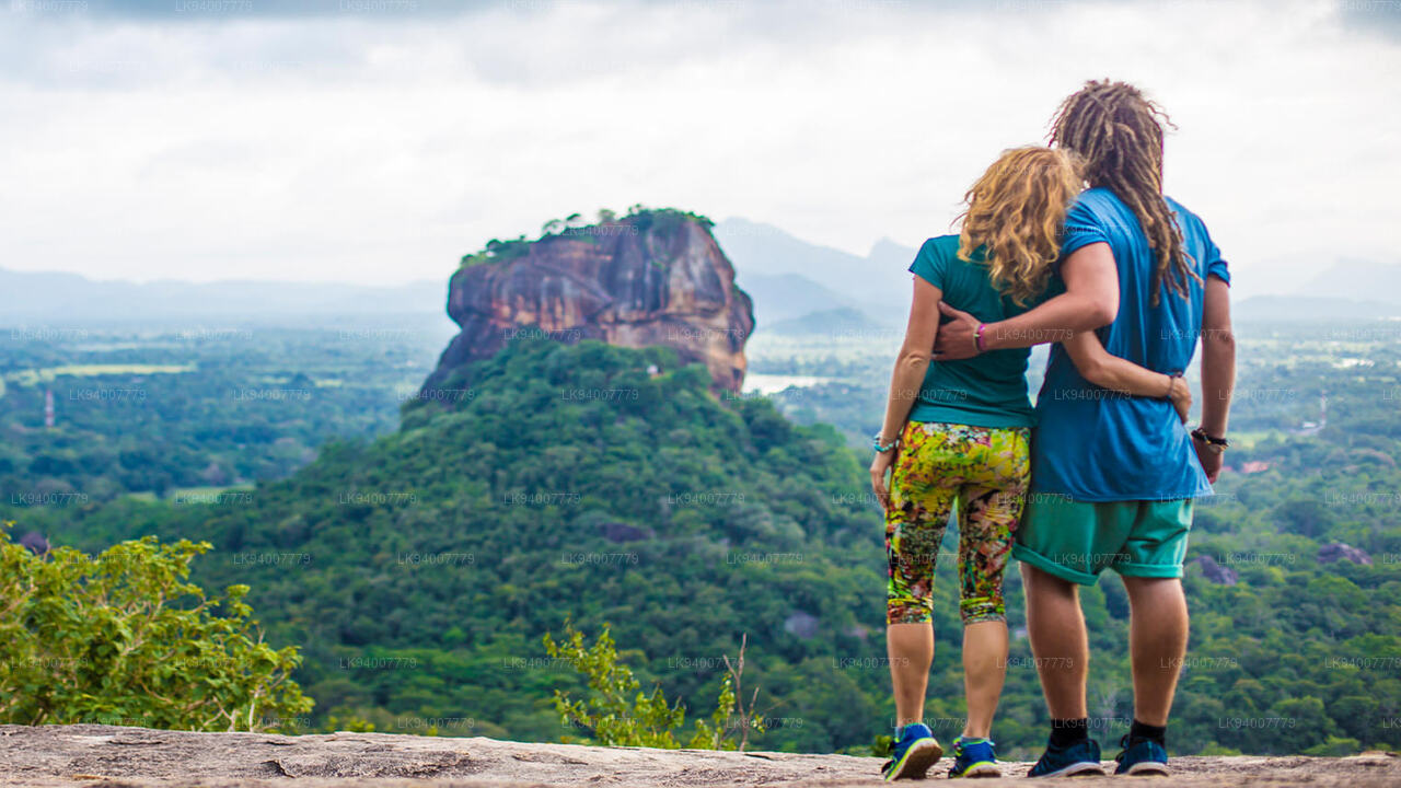
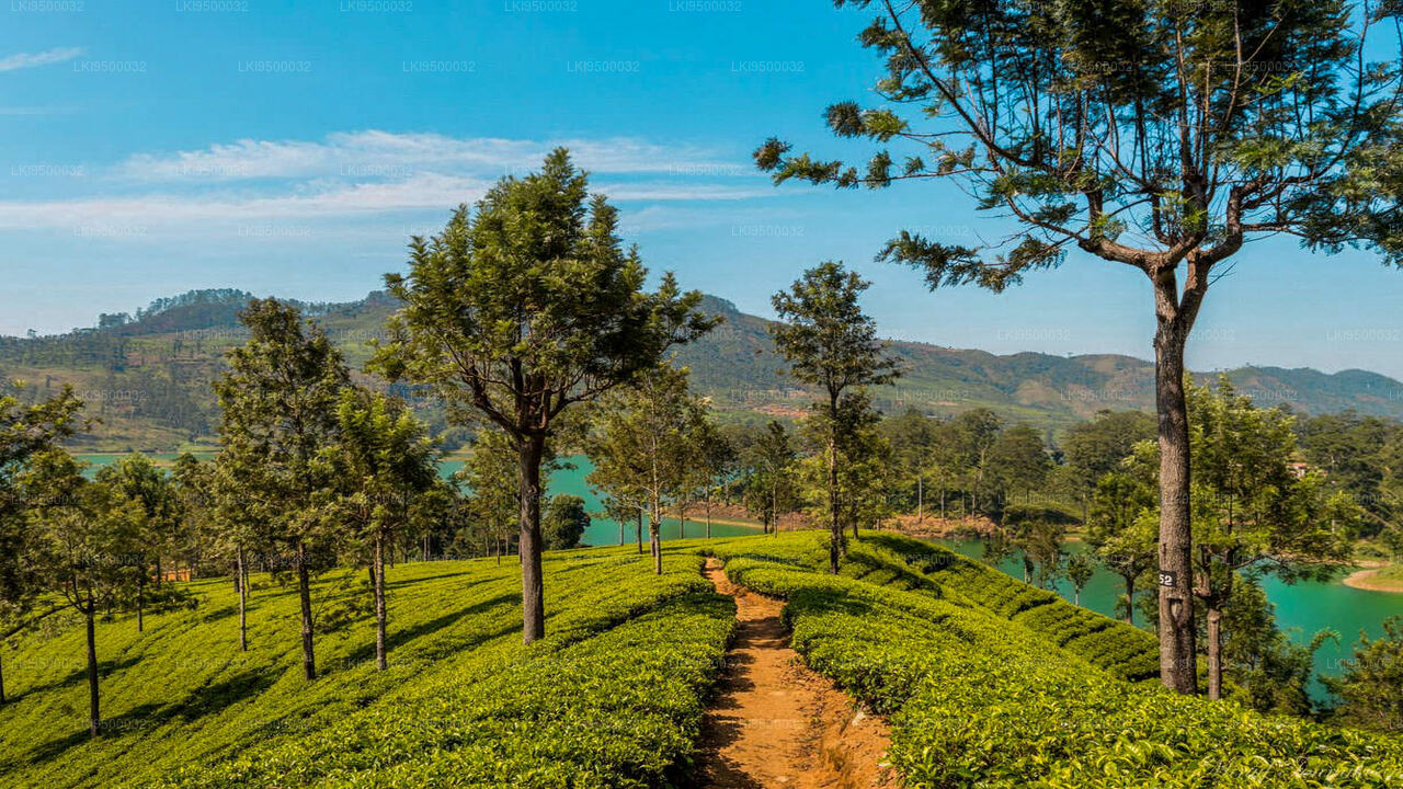
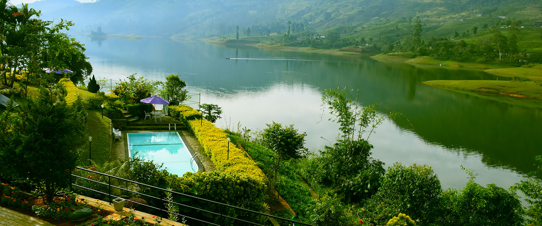
About Nuwara Eliya District
Nuwara Eliya District is a district in Central Province, Sri Lanka, centered on the tourist city of Nuwara Eliya. Its name means "city on the plain (table land)" or "city of light". The city is the administrative capital of Nuwara Eliya District, with a picturesque landscape and temperate climate. It is at an altitude of 1,868 m (6,128 ft) and is considered to be the most important location for tea production in Sri Lanka. The city is overlooked by Pidurutalagala, the tallest mountain in Sri Lanka. Nuwara Eliya is known for its temperate, cool climate – the coolest area in Sri Lanka.
About Central Province
The Central Province is located in the central hills of Sri Lanka comprising of three administrative districts:Kandy, Matale and Nuwara-Eliya. The land area of the Province is 5,575 km2 which is 8.6% of the total land area of Sri Lanka. The Province lies on 6.6°- 7.7° northern latitudes and between 80.5°-80.9° eastern longitudes. The elevation in the province ranges from 600 ft to over 6000 ft above the sea level. The province is bordered on the north by the North-Central Province, on the east by the River Mahaweli,on the south by Uma Oya and the mountain range of Adam’s Peak, Kirigalpotta and Thotapala and on the west by the mountain ranges Dolosbage and Galagedera.