Menik Ganga


Menik Ganga, originating from the central highlands near Kataragama, is a significant river in Sri Lanka's Southeastern region. Flowing through the scenic landscapes of Yala National Park, the river eventually reaches the Indian Ocean, creating an essential waterway for agriculture, wildlife, and communities. Its waters provide crucial support for farming, irrigation, and ecosystems along its course, making it an important natural resource for the surrounding areas.
The river plays a key role in sustaining agriculture in the southern and southeastern provinces. The Menik Ganga feeds reservoirs, irrigation canals, and agricultural fields, ensuring that crops such as paddy, vegetables, and fruits are irrigated throughout the dry season. Its water supports not only farming activities but also the rural communities that rely on it for their livelihoods, particularly in areas like Kataragama, Tissamaharama, and Hambantota.
Ecologically, Menik Ganga is a vital part of the region's biodiversity. Flowing through Yala National Park, one of Sri Lanka's most important wildlife sanctuaries, the river sustains wetlands, grasslands, and forest ecosystems that support a variety of species, including elephants, leopards, and numerous bird species. The river also contributes to the health of the park's riverside habitats, which are crucial for wildlife conservation and eco-tourism activities in the region.
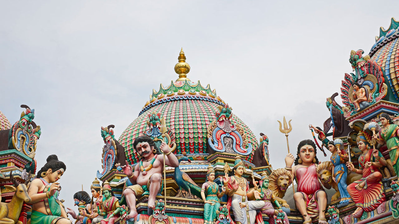
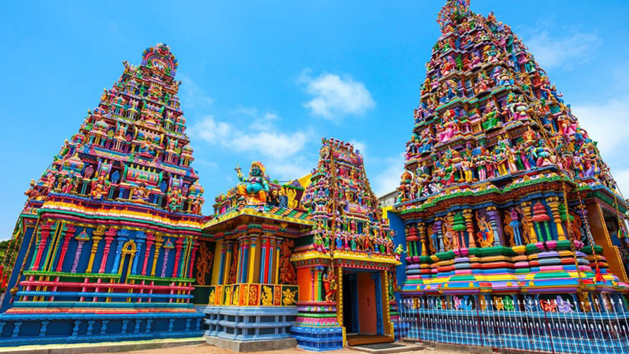
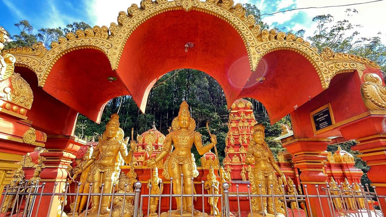
Culturally, the Menik Ganga has a deep connection with the local people, particularly those living in the areas around Kataragama. The river's proximity to sacred sites, including the Kataragama Temple, adds spiritual significance to its role. For centuries, the river has supported farming, fishing, and other essential activities, making it an integral part of both the cultural and economic life of the region.
Flood Risk & Hydrological Importance
Although Menik Ganga provides vital resources for agriculture and wildlife, it is also vulnerable to flooding, especially during the monsoon season when rainfall in the upper catchment areas can rapidly increase the river's flow. Understanding the river's flood risk is essential for managing water resources and minimizing the impacts of flooding on local communities and ecosystems.
-
Current Hydrological Readings (Official Report):
Katharagama Station – Minor Flood Level: 4.60 m, Major Flood Level: 6.50 m, Current Level: 7.58 m (Major Flood, rising). - Flood-Prone Areas: Low-lying areas in Tissamaharama, Kataragama, and surrounding districts are vulnerable to flooding when the river exceeds normal flow levels, especially during heavy rainfall.
- Catchment Sensitivity: The catchment area in the central hills, which experiences rapid runoff during the Southwest Monsoon, can quickly raise water levels downstream in the Menik Ganga.
- Impact on Agriculture: The river's flooding can affect irrigation systems, damage crops, and disrupt farming activities, particularly in low-lying agricultural fields around Tissamaharama and Kataragama.
- Slow Drainage in Coastal Regions: As the river approaches the coast near Hambantota, water slows down, increasing the risk of prolonged flooding and waterlogging in agricultural and residential areas.
- Importance of Monitoring: Continuous hydrological data collection and early-warning systems are essential for predicting flood events and protecting communities and agriculture in the floodplain.
- Seasonal Rainfall Risks: The river’s flood risk is highest during the monsoon season, particularly when intense rainfall in the catchment areas causes rapid increases in water levels.
Menik Ganga plays a vital role in sustaining agriculture, wildlife, and cultural heritage in Sri Lanka's southeastern region. However, its susceptibility to seasonal flooding underscores the importance of continuous monitoring and flood preparedness strategies to protect the communities and ecosystems that depend on it.