Dambulla City
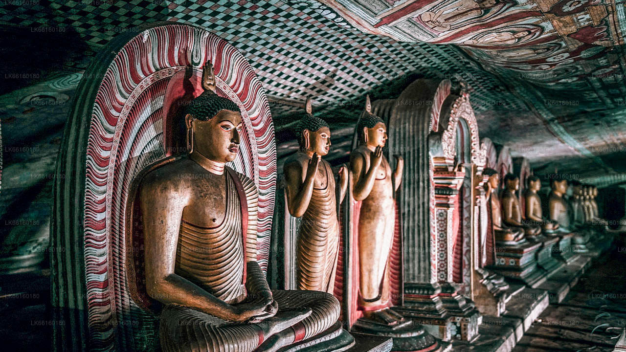
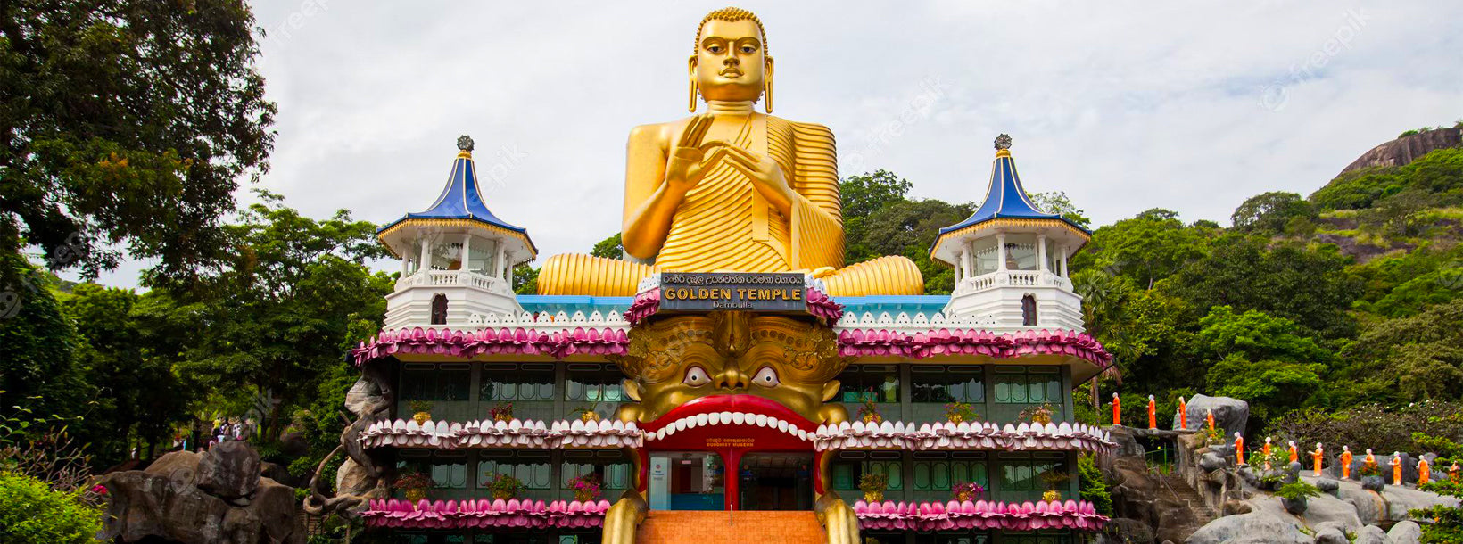
Journey into the heart of cultural splendor in Dambulla, where ancient history meets modern exploration. Uncover the marvels of the UNESCO-listed Dambulla Cave Temple, meander through vibrant markets, and savor the unique fusion of tradition and innovation in this enchanting Sri Lankan town.
Ibbankatuwa Wewa
Dambulu Oya Rivier is een zoetwaterstroom die zich bevindt in de centrale regio van Sri Lanka, die door gebieden stroomt in de buurt van Dambulla. Het speelt een belangrijke rol in het ondersteunen van de landbouw en het behouden van lokale ecosystemen, terwijl het bijdraagt aan de natuurlijke schoonheid van het omliggende landschap.
De rivier wordt omringd door weelderige vegetatie, rijstvelden en bosgebieden die een verscheidenheid aan planten- en diersoorten ondersteunen. Het water biedt een leefgebied voor vissen, vogels en kleine aquatische soorten, waardoor het een essentieel onderdeel is van het ecologische evenwicht van de regio.
Bezoekers van de Dambulu Oya Rivier kunnen genieten van een vredige omgeving, het plattelandsleven in de dorpen observeren en de natuurlijke omgeving van het binnenland van Sri Lanka ervaren. De rivieroevers bieden mogelijkheden voor ontspanning, wandelen in de natuur en fotografie, vooral in gebieden waar traditionele landbouwpraktijken zichtbaar zijn.
De beste tijd om de Dambulu Oya Rivier te bezoeken, is tijdens het droge seizoen van december tot april, wanneer de weersomstandigheden geschikt zijn voor buitenverkenning. De rivier is gemakkelijk bereikbaar vanuit Dambulla en biedt een rustige en verfrissende natuurlijke ervaring in het culturele hart van Sri Lanka.
About Matale District
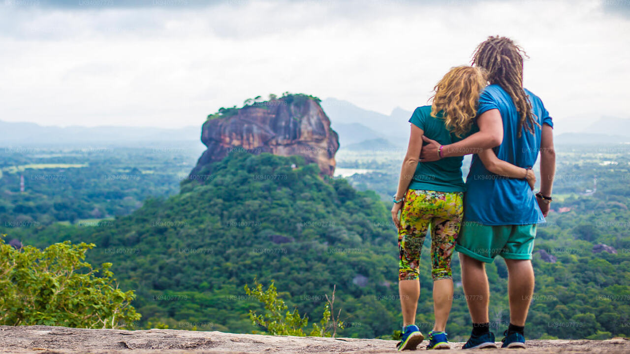
Matale is a town in the hill country of Sri Lanka. The Knuckles Mountain Range is a special landmark of Matale.The Matale administrative district also contains the historic Sigiriya rock castle, Aluvihare Temple and Dambulla Cave Temple . Surrounding the town are the Knuckles foothills called Wiltshire. It is a mainly agricultural area, where tea, rubber, vegetable and spice cultivation dominate.
The Aluvihare Temple, on the North side of the town, is the historic location where the Pali Canon was first written down completely in text on ola (palm) leaves. Situated near Aluvihare are numerous monastery caves, some of which exhibit fine frescoes.
About Central Province
The Central Province of Sri Lanka consists primarily of mountainous terrain. The province has an area of 5,674 km², and a population of 2,421,148. Some major towns include Kandy, Gampola (24,730), Nuwara Eliya and Bandarawela. The population is a mixture of Sinhalese, Tamil and the Moors.
Both the hill capital Kandy and the city of Nuwara Eliya are located within the Central Province as well as Sri Pada. The province produces much of the famous Ceylon tea, planted by the British in the 1860s after a devastating disease killed all the coffee plantations in the province. Central Province attracts many tourists, with hill station towns such as Kandy, Gampola, Hatton and Nuwara Eliya. Temple tooth or Dalada maligawa is the main sacred place in Centrel province.
The climate is cool, and many areas about 1500 meters often have chilly nights. The western slopes are very wet, some places having almost 7000 mm of rain per year. The eastern slopes are parts of the mid-dry zone as it is receiving rain only from North-Eastern monsoon. The Temperatures range from 24°C at Kandy to just 16°C in Nuwara Eliya, which is located 1,889 m above sea level. The highest mountains in Sri Lanka are located in the Central Province. The terrain is mostly mountainous, with deep valleys cutting into it. The two main mountain regions are the central massif and the Knuckles range to the east of Kandy.