Thoppigala
Thoppigala, also known as Baron’s Cap, rises prominently above the eastern plains of Sri Lanka near Batticaloa. This massive rock formation is more than just a geographical feature—it is a site deeply woven into the island’s ancient history and recent past. Surrounded by thick forests and rugged terrain, Thoppigala has long served as a natural fortress, offering commanding views over the surrounding landscape.
In ancient times, Thoppigala and its surrounding region formed part of an important eastern kingdom, leaving behind remnants of old settlements, caves, and monastic sites. Archaeological evidence suggests that Buddhist monks once lived and meditated in these caves, making the area both spiritually and culturally significant.
More recently, Thoppigala became known for its role during Sri Lanka’s civil conflict. Due to its strategic position and difficult access, it served as a stronghold for militant groups until it was reclaimed by the Sri Lankan Armed Forces in 2007. Today, the site stands as a symbol of resilience and remembrance, with monuments acknowledging those who took part in the conflict.
Beyond its historical depth, Thoppigala now attracts visitors for its scenic value. Adventurers and nature enthusiasts visit to explore its trails, enjoy panoramic views, and experience the untouched wilderness of the region. With improving access and conservation efforts, Thoppigala is slowly emerging as an off-the-beaten-path destination in Sri Lanka’s east.
바티칼로아 지구
바티칼로아는 스리랑카 동부 주에 있는 도시입니다. 스리랑카 동부 해안의 평평한 해안 평야에 위치한 바티칼로아는 동쪽으로 인도양과 접해 있으며, 스리랑카 동부 지역의 중앙부를 차지합니다. 바티칼로아는 동부 해안에 있으며 콜롬보에서 314km 떨어져 있습니다. 인구는 515,707명으로, 주로 타밀족, 무어족, 싱할라족, 유라시아계 부르거(특히 포르투갈계와 네덜란드계 부르거), 그리고 토착민인 베다족으로 구성되어 있습니다.
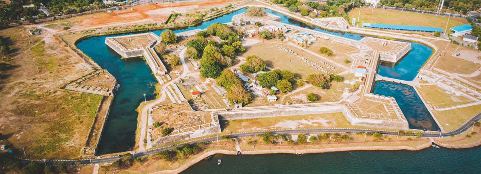
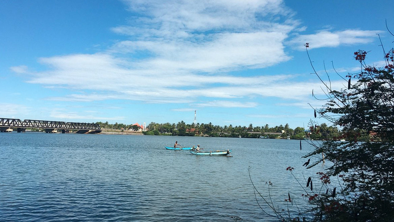
쌀과 코코넛은 이 지역의 주요 작물이며, 섬 주변을 오가는 증기선들이 정기적으로 항구에 기항합니다. 바티칼로아 석호는 "노래하는 물고기"로 유명한데, 이는 마치 음악 소리를 내는 듯한 조개류라고 전해집니다. 이 지역에는 베다족, 즉 숲속의 야인들이 아직 남아 있습니다. 도시는 크게 네 개의 구역으로 나뉩니다. 풀리안티부: 여러 정부 부처와 관공서, 학교, 은행, 종교 시설, 종합 병원, 웨버 스타디움, 상점들이 밀집해 있습니다. 현재는 ICRC, UN, UNICEF, 월드비전 등 많은 NGO 사무소도 이곳에 있습니다.
코다무나이: 학교, 은행, 스리랑카 텔레콤 동부 지역 사무소, 상점, 그리고 여러 정부 기관이 있습니다. 페리야 팔람과 푸투팔람이라는 두 개의 다리가 풀리안티부 섬과 코다무나이 본토를 연결합니다. 칼라디: 이곳에는 많은 정부 건물과 민간 기업, 학교, 병원, 그리고 동부대학교 의과대학이 있습니다. 스리랑카에서 가장 긴 다리인 칼라디 레이디 매닝 다리는 칼라디와 아라사이를 연결합니다.
동부 주
동부 주는 스리랑카의 9개 주 중 하나입니다. 동부 주는 19세기부터 존재해 왔지만, 1978년 스리랑카 헌법 제13차 개정안이 1987년에 주 의회를 설립하면서 법적 지위를 얻게 되었습니다. 1988년부터 2006년까지는 북부 주와 일시적으로 통합되어 북동부 주를 이루기도 했습니다. 동부 주의 주도는 트린코말리입니다. 2007년 기준 동부 주의 인구는 1,460,939명입니다. 이 주는 스리랑카에서 민족적, 종교적으로 가장 다양한 구성을 자랑합니다.
동부 주의 면적은 9,996제곱킬로미터(3,859.5제곱마일)입니다. 북쪽으로는 북부 주, 동쪽으로는 벵골 만, 남쪽으로는 남부 주, 서쪽으로는 우바 주, 중부 주, 북중부 주와 접해 있습니다. 이 지역의 해안은 대부분 석호로 이루어져 있으며, 그중 가장 큰 석호로는 바티칼로아 석호, 코킬라이 석호, 우파르 석호, 울라칼리 석호가 있습니다.