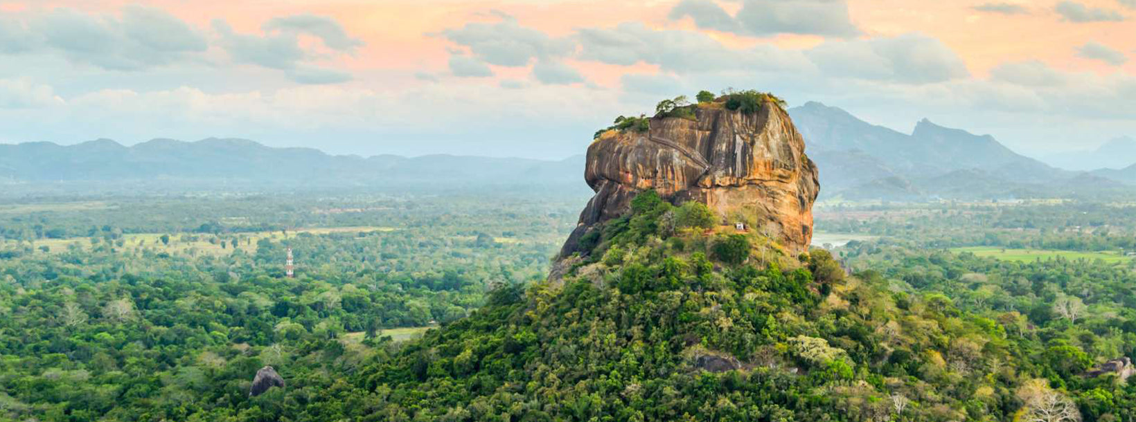
Sigiriya Reservoir, located near the iconic Sigiriya Rock Fortress, plays a significant role in Sri Lanka’s ancient hydraulic system and offers tourists a unique experience of both nature and history. This man-made reservoir was originally constructed during the reign of King Kashyapa in the 5th century and served as an essential part of the advanced water management system that supported the Sigiriya kingdom.
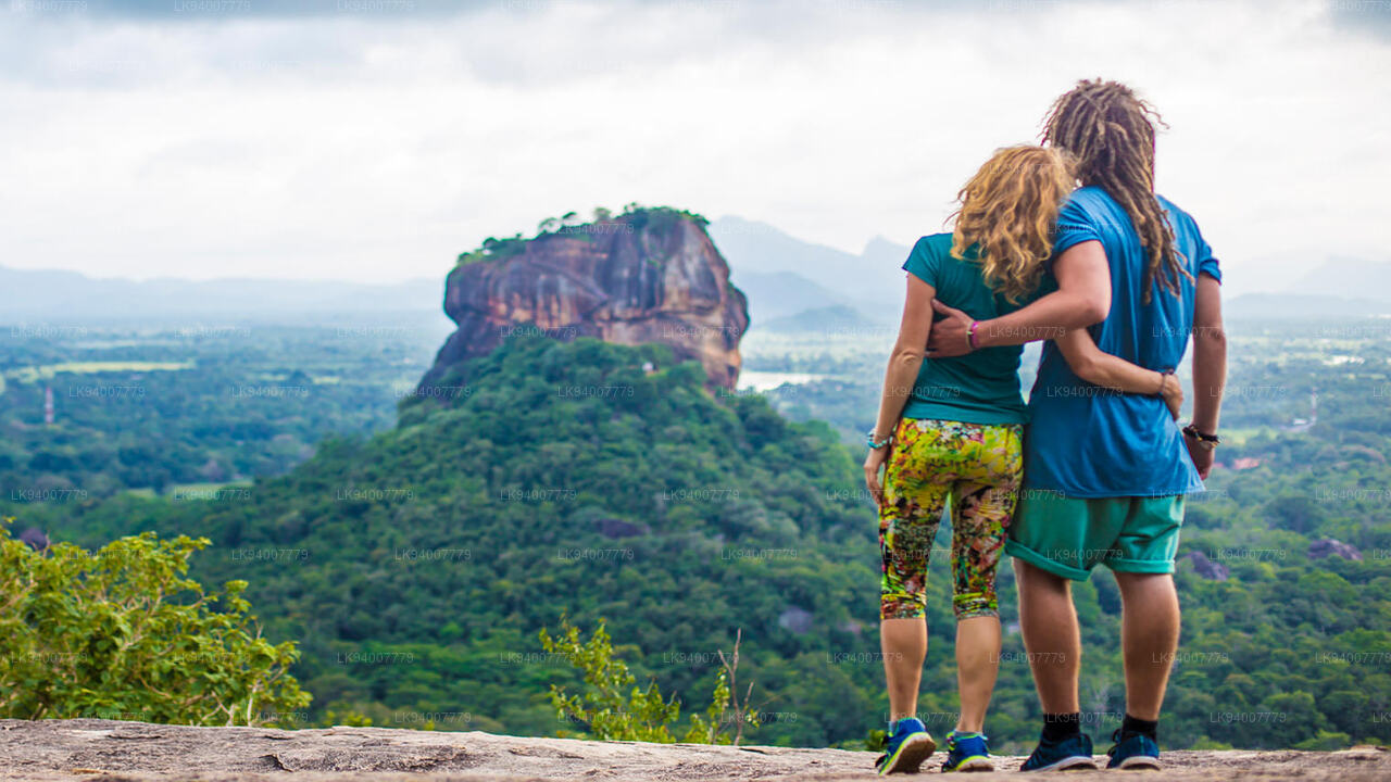
Tourists visiting the Sigiriya Reservoir can experience the serene beauty of the water body surrounded by lush greenery and scenic landscapes. The reservoir is especially beautiful during early morning and late afternoon, making it an ideal spot for photography enthusiasts looking to capture the reflection of Sigiriya Rock on the calm waters. This stunning backdrop creates an almost mirror-like effect, enhancing the natural beauty of the area.
The reservoir also offers boat rides, allowing visitors to appreciate the engineering marvel of this ancient structure while enjoying peaceful moments on the water. The boat ride provides panoramic views of the surrounding forests, distant mountains, and the towering Sigiriya Rock, giving tourists a unique perspective on the area’s historical and ecological importance.
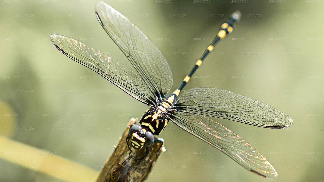
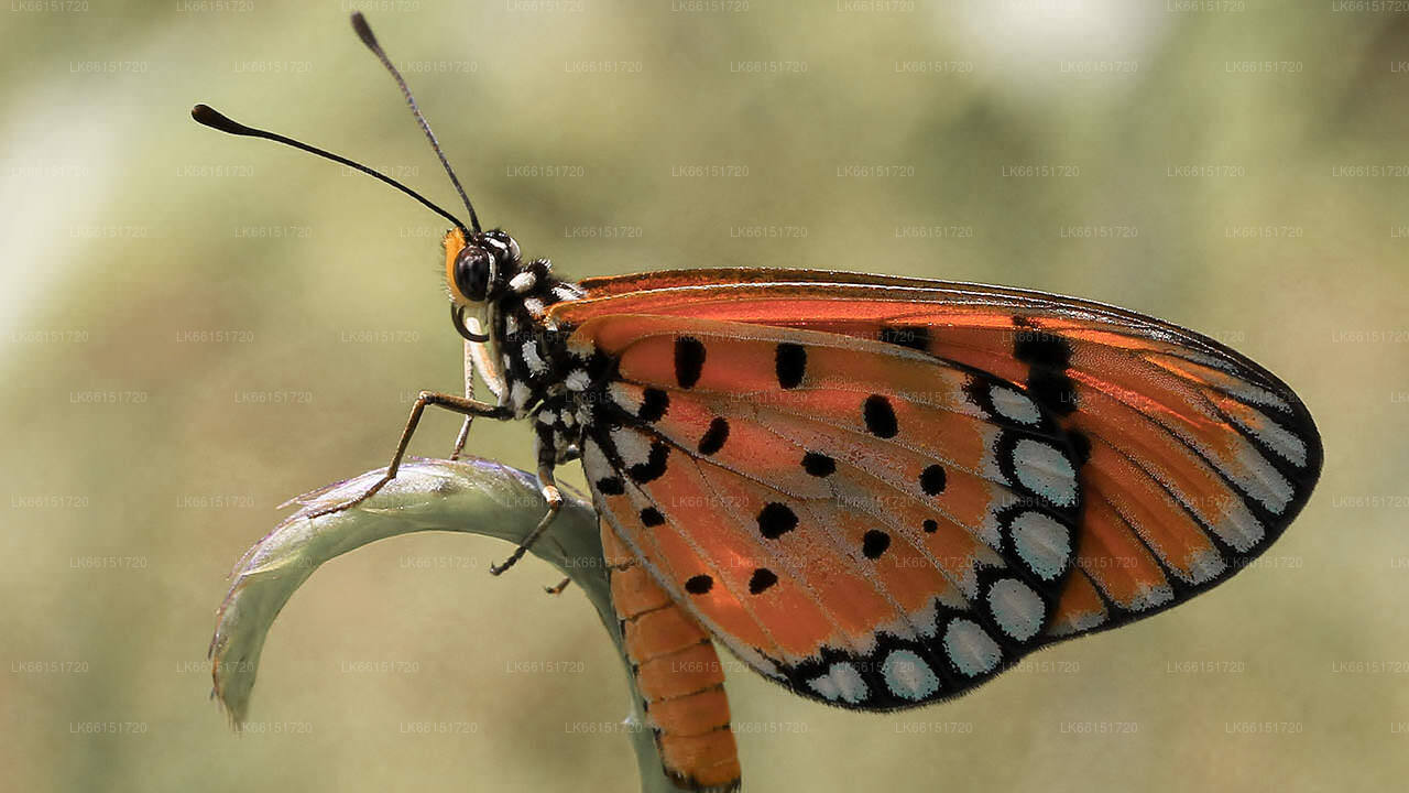
Wildlife enthusiasts will appreciate the variety of bird species that can be observed around the reservoir. The water body attracts various aquatic birds, including herons, kingfishers, and egrets, making it a great location for birdwatching. The reservoir is also home to fish and other aquatic life, contributing to its biodiversity.
Additionally, the area around the reservoir offers opportunities for walking and nature trails, where tourists can explore the natural flora and fauna of the region. The combination of history, nature, and wildlife makes a visit to Sigiriya Reservoir a memorable experience, offering a tranquil escape that complements the grandeur of Sigiriya Rock.
스리랑카 중부주는 주로 산악 지형으로 이루어져 있습니다. 면적은 5,674km²이며 인구는 2,421,148명입니다. 주요 도시로는 캔디, 감폴라(24,730명), 누와라 엘리야, 반다라웰라가 있습니다. 인구는 싱할라족, 타밀족, 무어족이 혼합되어 있습니다.
언덕 위의 수도인 캔디와 누와라 엘리야는 모두 센트럴 주와 스리 파다에 속합니다. 이 주는 1860년대 치명적인 질병으로 모든 커피 농장이 파괴된 후 영국인들이 심은 유명한 실론차의 주요 생산지입니다. 센트럴 주는 캔디, 갬폴라, 해튼, 누와라 엘리야와 같은 언덕 마을들이 있어 많은 관광객을 유치합니다. 템플 투스(Temple Tooth) 또는 달라다 말리가와는 센트럴 주의 주요 성지입니다.
기후는 서늘하며, 해발 1,500m 정도의 많은 지역에서는 밤에 쌀쌀한 경우가 많습니다. 서쪽 경사면은 매우 습하며, 일부 지역에서는 연간 강수량이 거의 7,000mm에 달합니다. 동쪽 경사면은 북동 몬순의 영향으로 비가 거의 오지 않는 중건기 지대에 속합니다. 캔디의 기온은 24°C에서 해발 1,889m에 위치한 누와라 엘리야의 기온은 16°C에 불과합니다. 스리랑카에서 가장 높은 산은 중부 지방에 있습니다. 지형은 대부분 산악 지대이며, 깊은 계곡이 지형을 가로지르고 있습니다. 두 개의 주요 산악 지역은 캔디 동쪽에 있는 중앙 산괴와 너클스 산맥입니다.