
Okanda Town


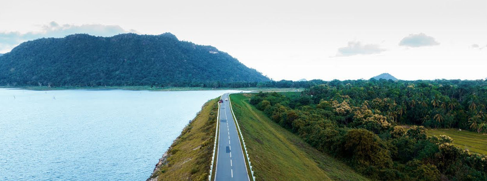
Okanda, located in the southeastern part of Sri Lanka, is a small village known for its spiritual significance, scenic coastal beauty, and proximity to Kumana National Park. Okanda is often visited by pilgrims on their way to the sacred Kataragama Shrine, as it serves as an important stopover during the annual Pada Yatra pilgrimage. This centuries-old pilgrimage is deeply rooted in Hindu and Buddhist traditions, attracting devotees who walk for miles to pay homage to Lord Kataragama.
The Okanda Murugan Temple is the main spiritual attraction in the village, dedicated to Lord Murugan (also known as Skanda or Kataragama Deviyo). It is a place of worship for both Hindus and Buddhists, making Okanda a symbol of religious harmony in Sri Lanka. The temple is set amidst the stunning natural surroundings of the coastal wilderness, creating a serene atmosphere for prayer and meditation.
Okanda is also known for its unspoiled beaches, which stretch along the southeastern coastline, offering breathtaking views of the Indian Ocean. These beaches are relatively untouched by tourism, providing a peaceful escape for those seeking solitude in nature. The rocky outcrops and crystal-clear waters make it an ideal spot for beach lovers and photographers.
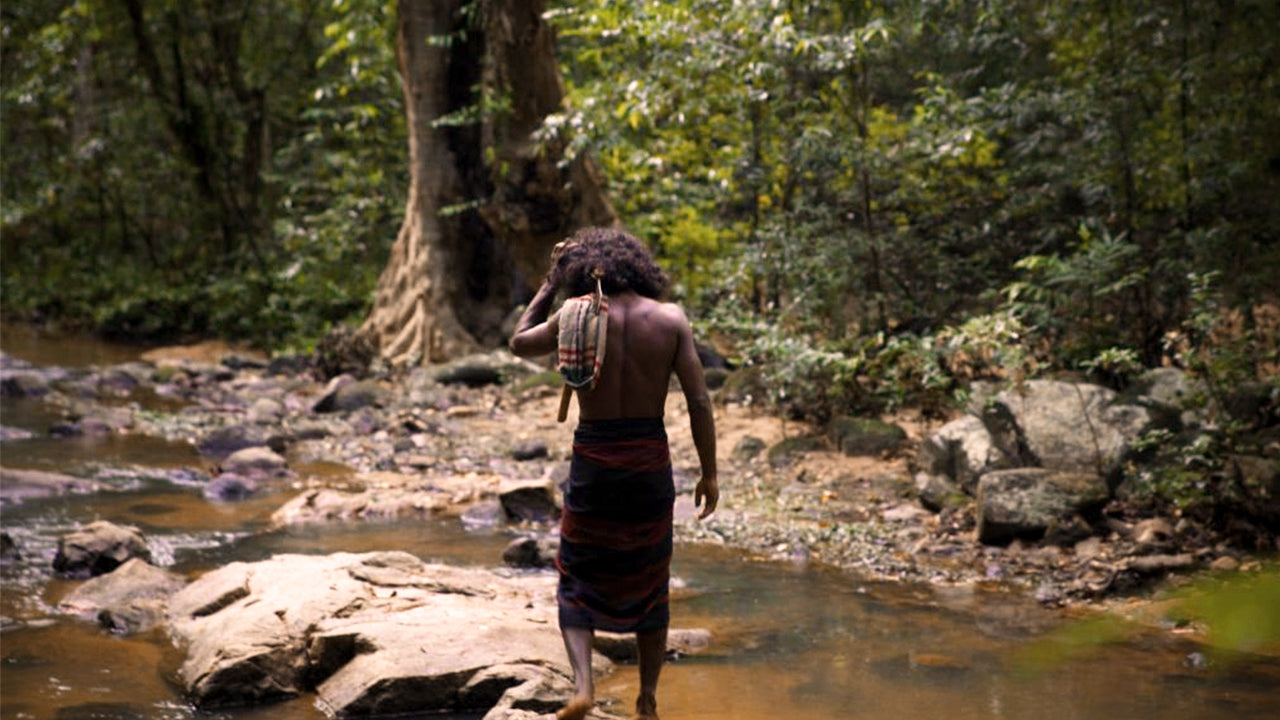
Nature enthusiasts visiting Okanda can explore the nearby Kumana National Park, one of Sri Lanka's premier wildlife sanctuaries. The park is famous for its rich birdlife, particularly during the migratory season, and is home to a variety of wildlife, including elephants, leopards, and crocodiles.
In summary, Okanda is a unique blend of spiritual significance, natural beauty, and wildlife. It is a destination where pilgrims, nature lovers, and adventurers can experience the deep cultural and environmental richness of Sri Lanka.


