반카투와

Ibbankatuwa Ibbankatuwa Ibbankatuwa

이빵카투와 거석 무덤은 갈레웰라 DS, 스리랑카에 있는 이빵카투와 웨와 근처에 위치한 고대 매장지입니다. 이 유적지는 스리랑카의 거석 시대 선사 및 원사 시대에 속하는 것으로 여겨지며, 이 나라에서 발견된 여러 고대 매장지 중 하나로 간주됩니다. 이곳은 쿠루네갈라 – 담불라 도로에 위치하며, 담불라 시에서 남서쪽으로 약 5킬로미터 떨어져 있습니다. 현재 이 무덤 유적지는 스리랑카의 보호된 고고학 유적지로 지정되어 있습니다.

이빵카투와 매장지는 약 13헥타르에 걸쳐 있으며, 거석 문화 전통에 속하는 석관형 무덤들로 구성되어 있습니다. 전 고고학 위원인 라자 데 실바 박사는 1970년에 이곳에서 최초의 발굴을 수행했습니다. 이후 1980년대 후반, 고고학 대학원 연구소, 중앙 문화 기금, 그리고 독일의 KAVA(일반 및 비교 고고학 위원회)를 포함한 국내외 기관들이 1988년과 1990년에 두 차례 발굴을 진행했습니다. 그 결과 21개의 매장실이 발견되었으며, 현장에서 발견된 목탄의 방사성 탄소 연대 측정을 통해 이 유적이 기원전 600년경에 해당하는 것으로 밝혀졌습니다.

2015년에는 중앙 문화 기금이 이빵카투와 매장지에 대한 조사를 실시했습니다. 이 조사에서는 21개의 매장실 군의 바로 서쪽에 위치한 10m × 10m 구역이 발굴되었습니다. 토양을 제거한 후, 추가로 47개의 매장지가 발견되었으며, 그중 26개는 고인의 재를 담은 석제 항아리로, 석제 항아리 매장으로 알려져 있습니다.

이 매장들은 일부는 원형, 일부는 직사각형의 방 형태로 구성되어 있으며, 단순한 화강암 판으로 만들어졌습니다. 일부 방은 덮개석으로 덮여 있었고, 그 안에는 크고 작은 다양한 크기의 토기 용기들이 2개에서 10개 정도 들어 있었으며, 그 안에 고인의 재가 담겨 있었습니다. 이 토기 용기들은 다양한 크기와 형태를 지니고 있으며, 붉은 점토 또는 검은 점토로 만들어진 두 가지 유형이 있습니다. 또한 내부에서는 구리와 철로 만든 금속 도구와 다양한 형태와 재질의 구슬도 발견되었습니다.

발굴을 통해 발견된 47개의 매장지 중 21개는 고인의 재를 담은 토기 항아리였습니다. 이러한 매장은 항아리 매장으로 불립니다. 항아리는 크기가 크거나 작으며 점토로 만들어졌고, 일부는 그릇 모양의 뚜껑이 있었습니다. 일부 항아리 안에서는 더 작은 용기도 발견되었습니다.

이빵카투와 유적지는 스리랑카에서 발견된 매장지 중 가장 큰 규모입니다. 석관 무덤의 분포를 기준으로 볼 때, 이 유적지는 약 700m × 400m의 범위를 차지합니다. 매장지에서 멀지 않은 폴와타에서 발견된 인간 거주지는 이 나라에서 초기 철기 시대의 인간 정착지와 그에 대응하는 매장지가 함께 발견된 최초의 사례입니다.

Ibbankatuwa Ibbankatuwa Ibbankatuwa

About Matale District

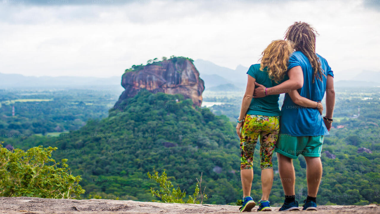
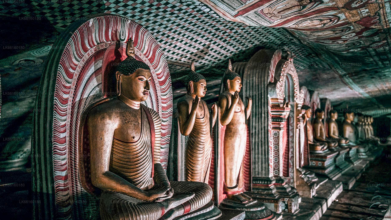
Matale is a town in the hill country of Sri Lanka. The Knuckles Mountain Range is a special landmark of Matale.The Matale administrative district also contains the historic Sigiriya rock castle, Aluvihare Temple and Dambulla Cave Temple . Surrounding the town are the Knuckles foothills called Wiltshire. It is a mainly agricultural area, where tea, rubber, vegetable and spice cultivation dominate.

The Aluvihare Temple, on the North side of the town, is the historic location where the Pali Canon was first written down completely in text on ola (palm) leaves. Situated near Aluvihare are numerous monastery caves, some of which exhibit fine frescoes.

About Central Province

The Central Province of Sri Lanka consists primarily of mountainous terrain. The province has an area of 5,674 km², and a population of 2,421,148. Some major towns include Kandy, Gampola (24,730), Nuwara Eliya and Bandarawela. The population is a mixture of Sinhalese, Tamil and the Moors.

Both the hill capital Kandy and the city of Nuwara Eliya are located within the Central Province as well as Sri Pada. The province produces much of the famous Ceylon tea, planted by the British in the 1860s after a devastating disease killed all the coffee plantations in the province. Central Province attracts many tourists, with hill station towns such as Kandy, Gampola, Hatton and Nuwara Eliya. Temple tooth or Dalada maligawa is the main sacred place in Centrel province.

The climate is cool, and many areas about 1500 meters often have chilly nights. The western slopes are very wet, some places having almost 7000 mm of rain per year. The eastern slopes are parts of the mid-dry zone as it is receiving rain only from North-Eastern monsoon. The Temperatures range from 24°C at Kandy to just 16°C in Nuwara Eliya, which is located 1,889 m above sea level. The highest mountains in Sri Lanka are located in the Central Province. The terrain is mostly mountainous, with deep valleys cutting into it. The two main mountain regions are the central massif and the Knuckles range to the east of Kandy.