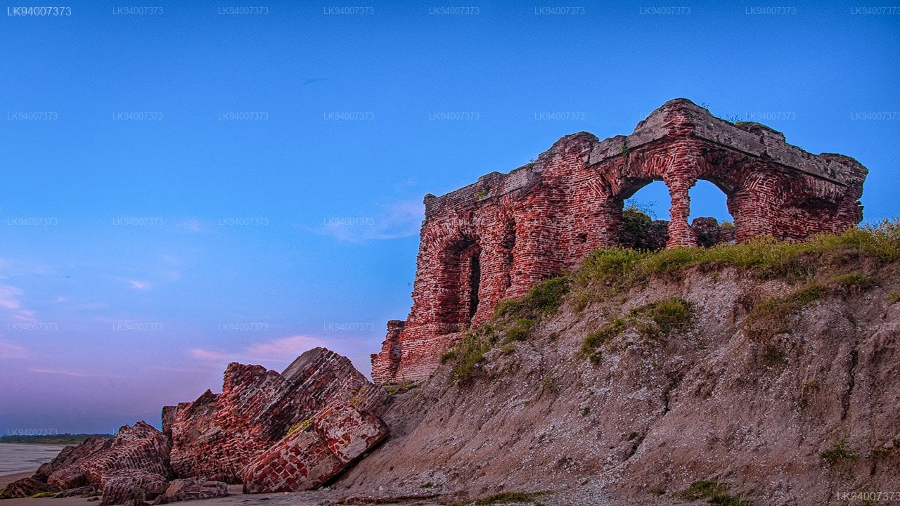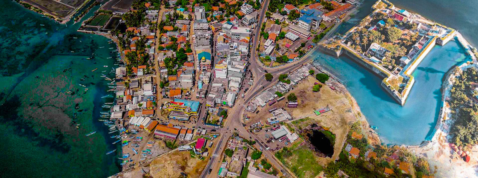
Doric Bungalow
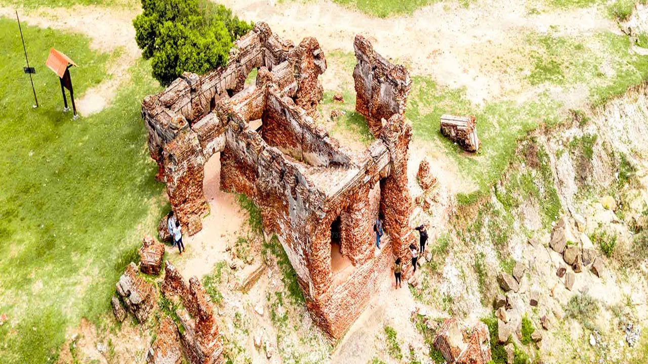
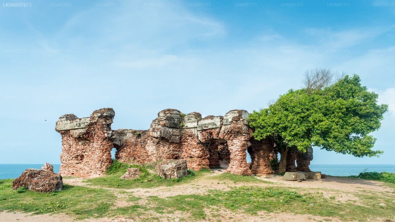
The Doric Bungalow (also known as The Doric), built during the 19th century, was owned by the First Governor of Sri Lanka (Ceylon) - Frederick North. He was the 5th Earl of Guilford, the son of British Prime Minister - Frederick North (2nd Earl of Guilford). The Doric Bungalow, built on a low cliff near the beach on the Arippu Coastal area, located in the northwestern coast of Mannar.
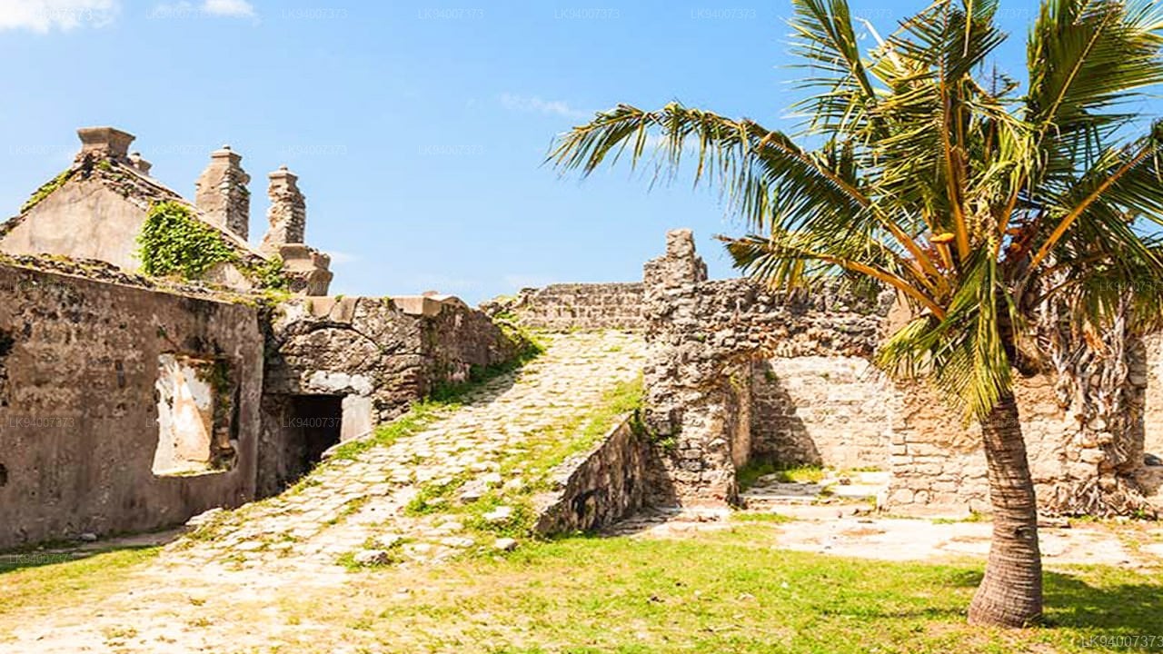
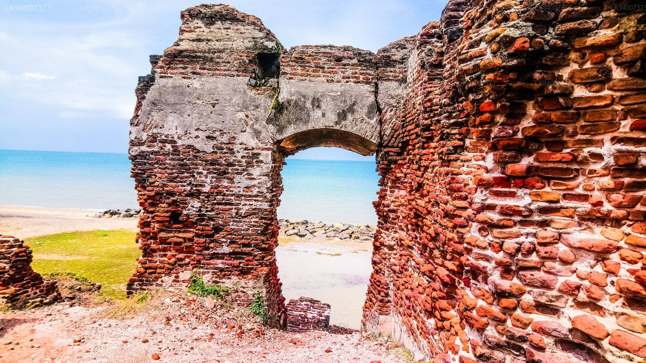
Having been built on a low cliff near the beach, exposed to extreme weather and lack of maintenance, it is now mostly ruins. Restoration has been proposed several times but no work has been carried out despite it being declared a protected archaeological monument.
A number of folklore tales surround the site and it has been 'locally ascribed to a legendary Queen of the Sangam period which refers to Alli Raani who was said to have a palace at the site. There are also unsubstantiated claims that the Portuguese built the Doric and it was used to protect Dona Catherina of Kandy circa 1580.
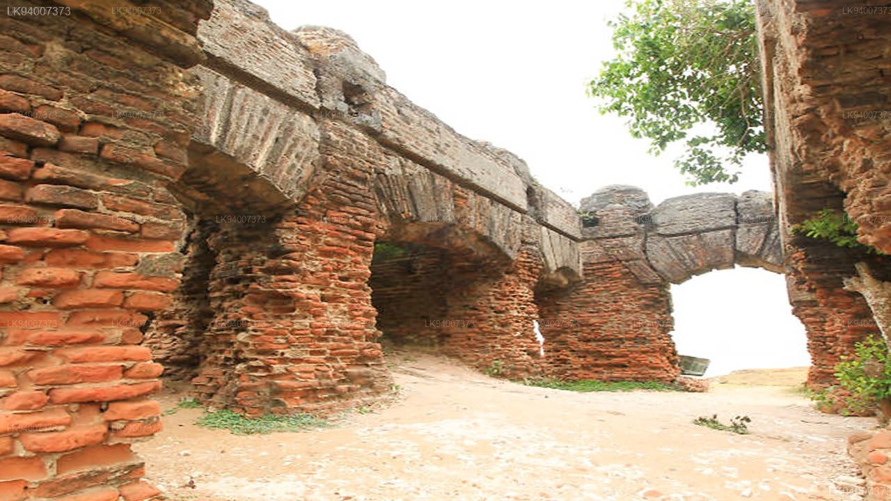
Its Original Features
On the ground floor of the building were four small bedrooms, each at one of its corners, while a large staircase occupied the main central space. On the upper floor were two rooms: one was used as a dining room that could seat at least twenty people, while the other was designated as the governor’s bedchamber. After being used as the governor’s residence, the building was handed over for the use of other officials and government agents, particularly for the supervision of pearl fishery.