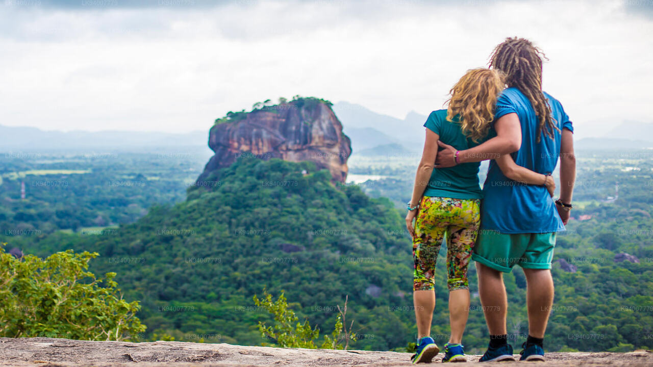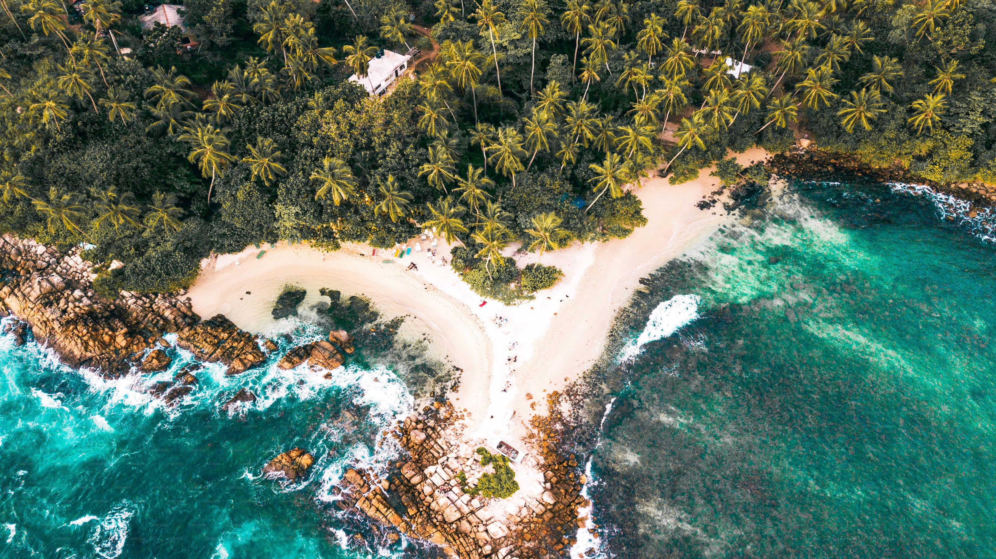
Coconut Tree Hill


Coconut Tree Hill is presumably the most well-known place in Mirissa. You can watch the infinite sea and Mirissa bay area from the top of this amazing place. It takes you 10-15 min walk up the street from Mirissa Beach. You can reach here through Bandaramulla temple and also you can access this place via the beach. Accessing via the beach would be difficult if the sea is rough. This place has become so popular that a lot of people wish to make a popular frame of the headland leaving the sea with coconut trees. We recommend reaching this place in the morning or before sunset. If you love this place, make sure don’t throw any rubbish here.
Extra Details
- Elevation – 4m (13ft) above sea level
- Open Hours – Always Open
About Mirissa
Location of Mirissa
Mirissa, a picture-perfect bay beach in the Southern coastal belt of Sri Lanka is located 146km south of Colombo.
Reaching Mirissa
Mirissa can be reached by Colombo-Galle-Hambantota motor road as well as by Colombo-Galle-Matara southern coastal railway too.
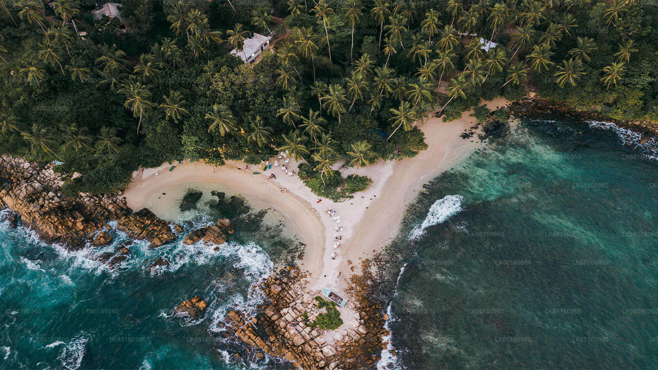
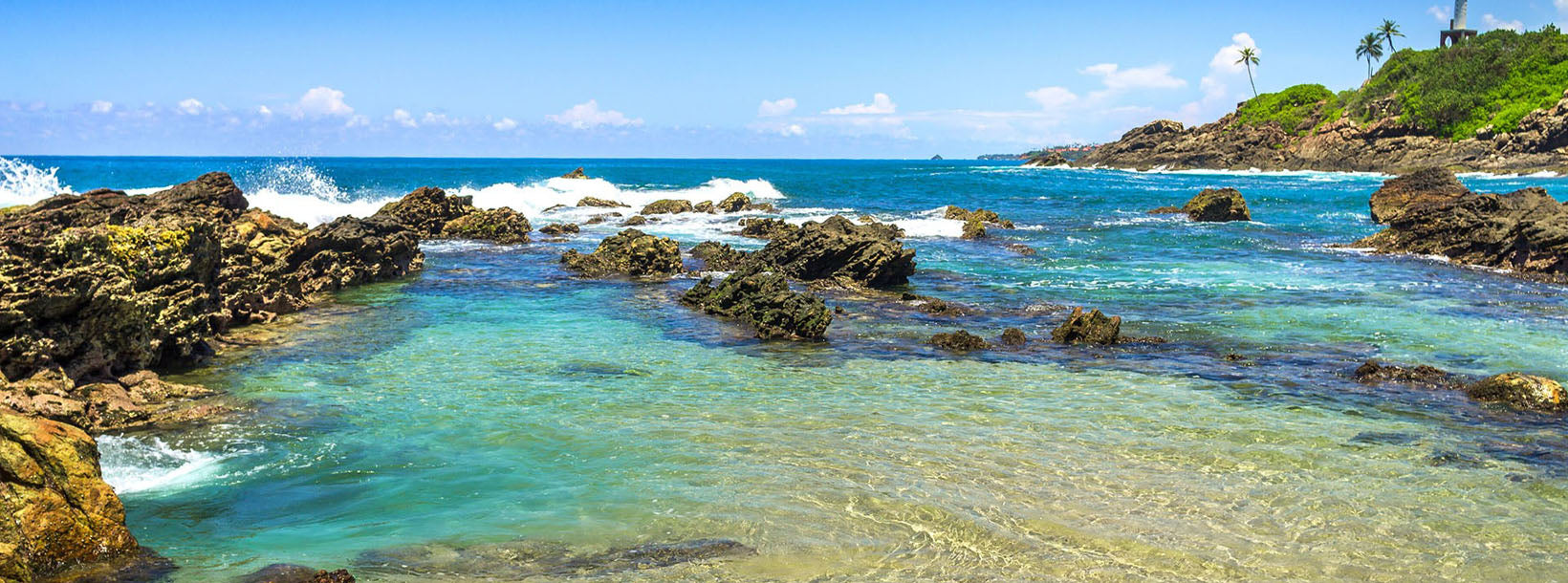
Setting of Mirissa Bay Beach
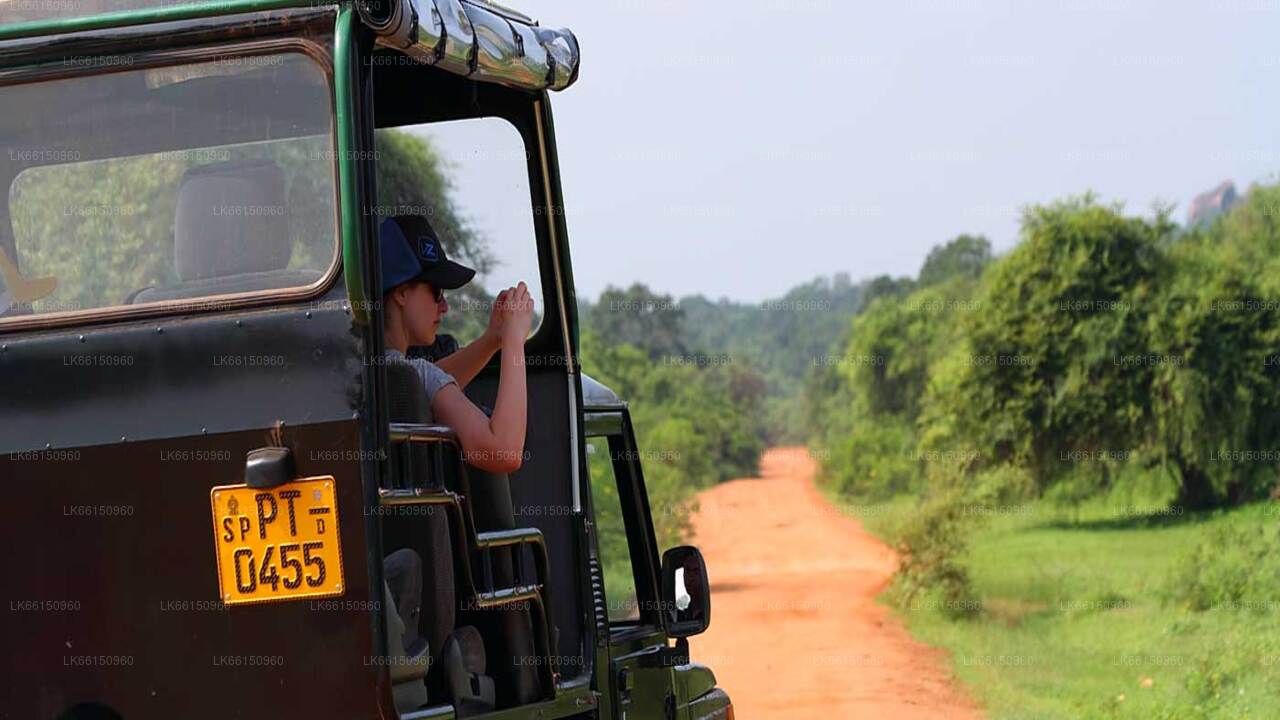
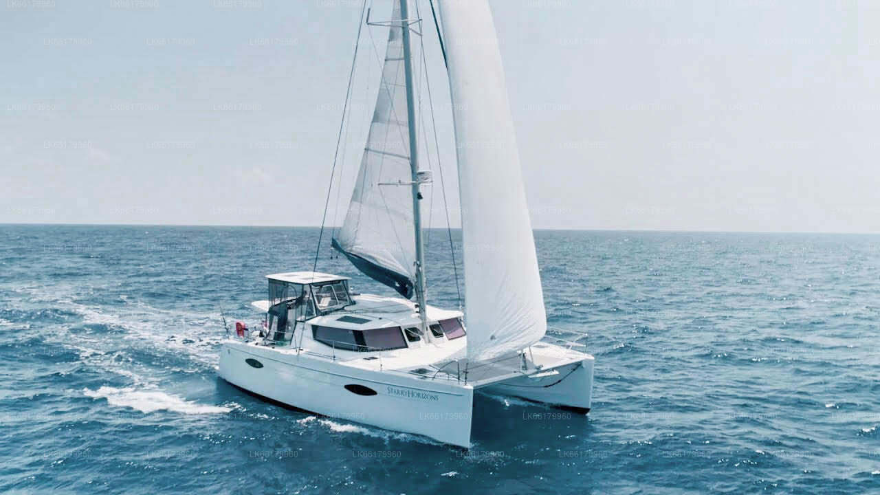
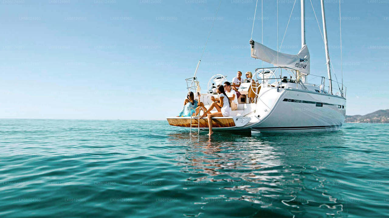
A couple of kilometers beyond the lovely beach of Weligama, almost hidden from the dense groves of coconut palm trees that fringe the bay lies the loveliest beach Mirissa. It's the beach to swim, snorkel, sport fishing, sea kayaking, cruises around the bay and other water sports.
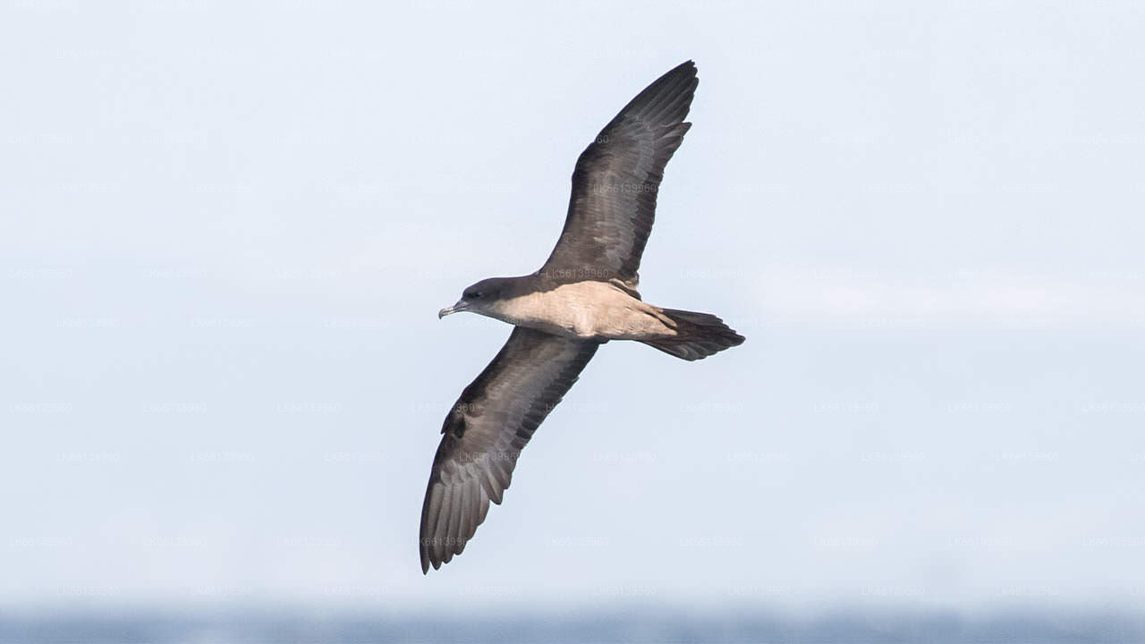
Blue whales
Mirissa affords the opportunity to view one of the most exciting marine life attractions of beautiful beaches of Sri Lanka: blue whales. During the period of December to April within a 6 hour boat ride, blue whales could be sighted a few kilometers into the seas at Mirissa.
Mirissa village
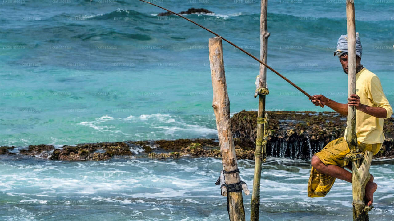
Mirissa with its bay and fishing harbor has been simply a fishing village that used to host you in such a way for you to feel as if here is an exclusive private beach all for your serene loneliness. That was until its discovery by others.Today, Mirissa is a village bent on development.
About Matara District
Matara is a city on the southern coast of Sri Lanka, 160 km from Colombo. It is one of the largest cities in Sri Lanka. The town contains many remnants of Sri Lanka is colonial past and is divided by the island?s third longest river, the Nilwala Ganga, Blue River a beautiful, wide expanse of water that splits the old town from the new.
In 16th and 18th centuries Matara was ruled by Portuguese and Dutch respectively. The culture and architecture can be still seen in the area. The popular Light house in point Dondra was built by Dutch and it