Barberyn Island Lighthouse


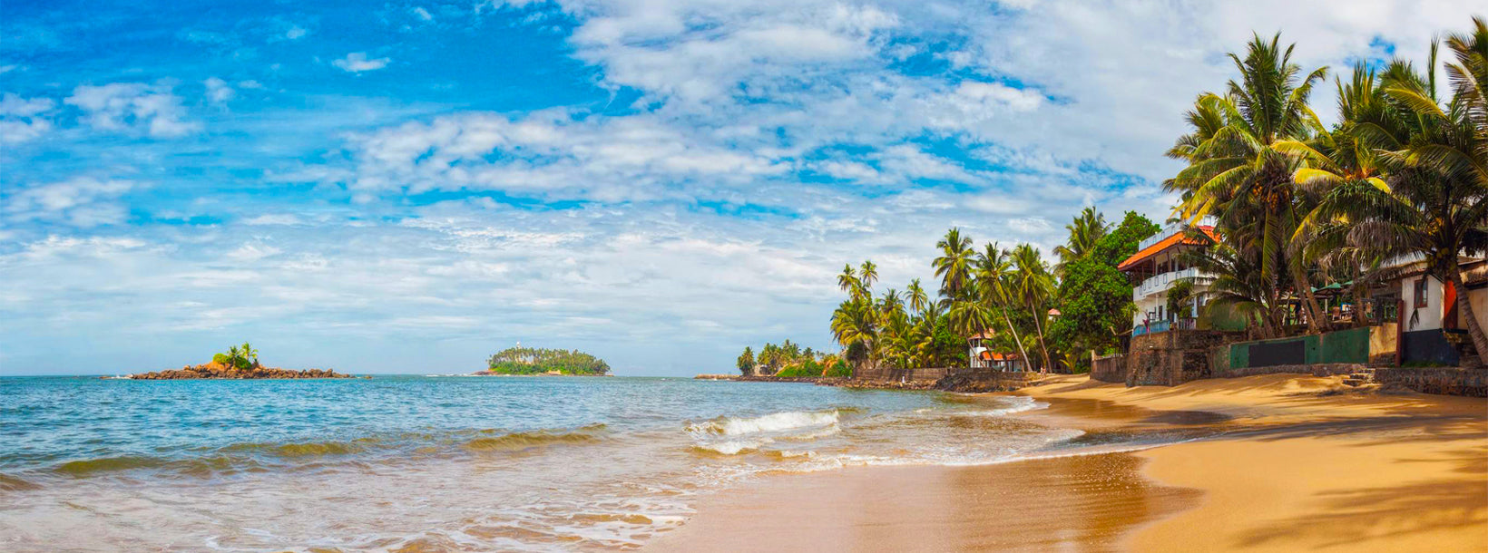
The Barberyn Lighthouse in Beruwala is located on Barberyn Island; approximately half a mile offshore from the little town of Beruwala. This tiny 8 acre tropical island has hosted the lighthouse for over a century. Today, Barberyn Lighthouse is one of only four international lighthouses in Sri Lanka.
History
Barberyn Lighthouse was built by the British Colonials in 1889, to cope with the dangerous waters and underwater reefs in Beruwala that could rip out the bottoms of ships. The lighthouse was managed by the British Imperial Lighthouse Service.
After the country gained independence in 1948, the management was taken over by the Sri Lankan government. In 1969 the old dioptric apparatus produced by Chance Brothers was replace with a Pharos Marine PRB-21 sealed beam optic and drive pedestal rotating beacon. This made it one of the most modern lighthouses of the time. In 2000, technology caught up with the lighthouse and, a Differential Global Positioning System (DGPS) was installed and the Barberyn lighthouse was linked via a network with all the major lighthouses in the country.
In 2004, the Boxing Day Tsunami hit the island; but the lighthouse was not affected, escaping damage miraculously. Today Barberyn takes its stand as an international lighthouse that provides safe passage to thousands of sea vessels every year.
Things to See
Visitors are not allowed to enter the lighthouse, due to a fairly recent debacle where some people caused a lot of trouble after entering. However, one of the five lighthouse keepers will be happy to have a chat and explain how the lighthouse is operated.
There are a few ruins from the British era; some of which have large open windows with picture postcard-like views. When you wander the island you will also find an old abandoned well that supplied water for the inhabitants.
Amongst the structures still in use, is an old clay roofed hut. The hut was a bar for lighthouse keepers during the British era. Though no more top quality alcohol remains nowadays, the hut is still used as a place to socialize and have fun.
Barberyn is an island that is reminiscent of a tropical paradise, with its pretty 100 foot tall lighthouse, swaying palm trees, thick tropical foliage, and bright blue sea. There’s even a few ruins to give it an exciting aura of mystery. Hence, it’s a great place to picnic, have a nice swim and spend a relaxing day at. Since not many people take the effort to talk to the fishermen and negotiate a reasonable price to ferry them over; there are not many visitors disturbing the peace and quite of the island. If proper permission is obtained, you may even be able to camp out and spend a night or two.