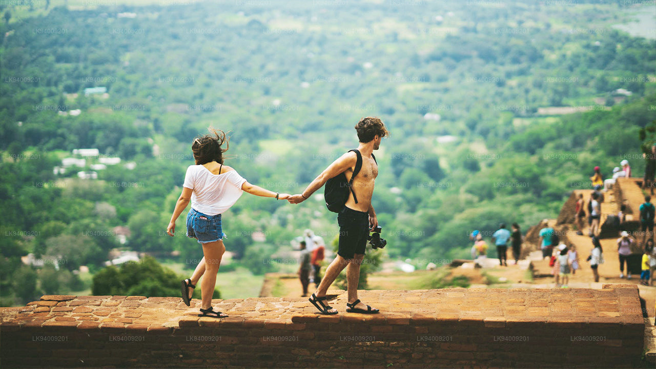
Rambakan-Oya-Stausee


Der Stausee liegt weit entfernt von menschlicher Besiedlung, etwa 17 km von der Stadt Maha Oya entfernt. Im Rahmen des Rambakan Oya-Projekts wurden auch sieben weitere kleinere Stauseen renoviert. Es handelt sich um Polwatte Wewa, Pollebedde Wewa, Niloba Wewa, Kiralagas Wewa, Dumana Wewa, Bendirekka Wewa und das Akulobe Wewa. Von dort aus kommen Sie auf dem Weg zum Rambakan Oya-Stausee an den Wewa Kiralagas, Niloba Wewa und Pollebedde Wewa vorbei. Pollebedde (Pollebedda) ist eines der traditionellen Heimatländer der indigenen Veddhas Sri Lankas . Auf dieser Straße kommen Sie auch an ihrem Dorf vorbei, kurz vor dem Pollebedda Wewa.
Kurz vor dem Stausee führt eine Umleitung zu den Ruinen des alten Doppelkanals, der vor Tausenden von Jahren zum Bau eines Stausees angelegt wurde. Weitere archäologische Überreste finden sich am Fuße der Rampe, die zum oberen Ende des Dammes führt. Dieses Gebiet wurde vermutlich bei der Eröffnung des Staudamms im Jahr 2009 gerodet, ist aber wieder von Dschungel und Dornenbüschen bedeckt, was den Zugang extrem erschwert.


Special places in Badulla
-
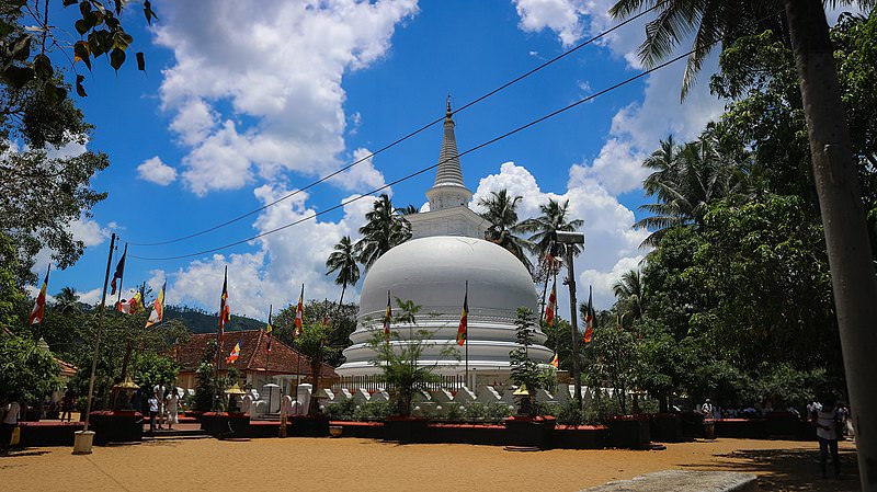 Muthiyangana Raja Maha Vihara
Muthiyanganaya Raja Maha Viharaya lies in the centre of the city of Badulla. The History of this temple goes back to the time of Buddha but this area around Badulla goes way back in to the time of 19th -18th century BCE.
-
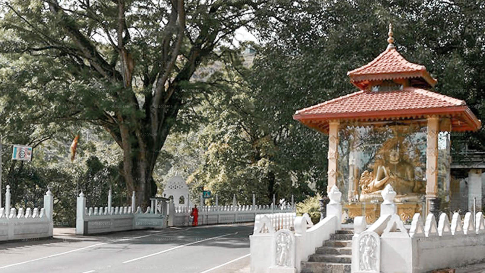 Dowa Raja Maha Viharaya
Dowa Raja Maha Viharaya (Dowa Cape Temple) lies few kilometres away from the Bandarawela town on the Bandarawela – Badulla Road. This temple is thought to be done by King Walagamba in the in first century BC.
-
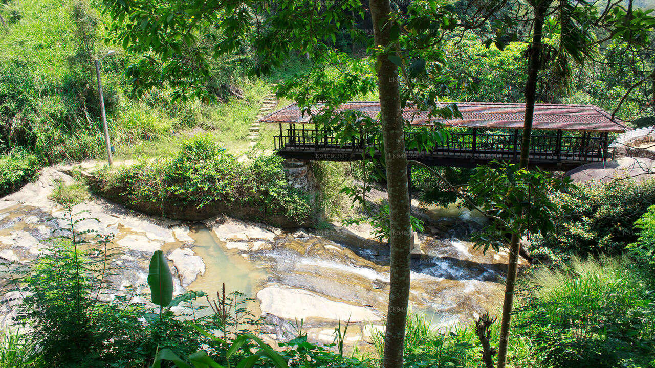 Bogoda Wooden Bridge
The Bogoda Wooden Bridge was built in the 16th century during the Dambadeniya era. This is said to be the oldest surviving wooden bridge in Sri Lanka. The bridge is situated at 7 kilometres (4.3 mi) west of Badulla.
-
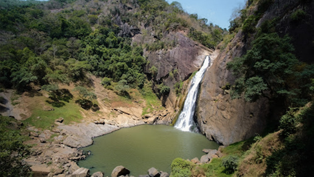 Dunhinda Falls
Dunhinda Falls is situated about 5 km away from Badulla town. It is 63 meters high and is considered to be one of the most beautiful waterfalls in Sri Lanka. The falls gets its name dew to the smoky dew drops spray.