نامونوكولا


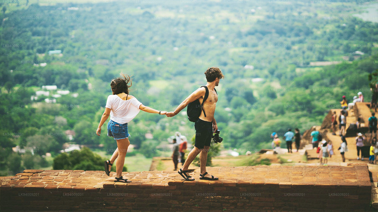
نامونوكولا هو الجبل الخلفي لمدينة بادولا، عاصمة مقاطعة أوفا في جنوب شرق المرتفعات في سريلانكا. يبلغ ارتفاعه 2,035 مترًا فوق مستوى سطح البحر، وهو أحد أعلى 12 جبلًا في سريلانكا، وأعلى قمة في شرق السلسلة الجبلية الجنوبية التي تمتد من سيري بادا (قمة آدم) في الغرب لمسافة 100 كم حتى نامونوكولا في الشرق. يهيمن نامونوكولا على وادي سبرينغ، وهي منطقة مزارع الشاي الأقرب إلى بادولا. وعلى الجانب الآخر من الجبل تقع باسارا، وهي منطقة أخرى لزراعة الشاي في أوفا. يُزرع شاي أوفا في المنطقة الممتدة بين هورتون بلينز ونامونوكولا بطول يقارب 40 كم من الغرب إلى الشرق.
توجد مسارات تؤدي إلى هضبة جبل نامونوكولا، وأسهلها يبدأ بالقرب من الممر بين وادي سبرينغ وباسارا. يمكن العثور على الممر بسهولة لوجود طريق واحد فقط يمر عبر وادي سبرينغ. ما عليك سوى اتباع طريق B97 عبر الوادي إلى ديمودارا ثم الانعطاف يسارًا عند المتجر في وسط الوادي واتباع الطريق الجانبي تقريبًا حتى القمة. على بعد حوالي 300 متر قبل الوصول إلى الممر، يمكن رؤية مسار المشي الجبلي يتفرع إلى اليسار. لا يتطلب الصعود مهارات تسلق، لكنه يعد رحلة شاقة بسبب الانحدار الحاد.
تُعد المنطقة الغابية موطنًا لقرود المكاك وغزلان السامبار والخنازير البرية. كما تعيش الفهود في مرتفعات سريلانكا، لكن من النادر رؤيتها أثناء الرحلات. يمكن مشاهدة أضرحة صغيرة مكرسة لبوذا وفيشنو وغانيشا على الهضبة في القمة التي يبلغ قطرها حوالي 150 مترًا. في سريلانكا، يُعبد فيشنو بشكل أساسي من قبل البوذيين السنهاليين، بينما تنتشر عبادة غانيشا بين التاميل. وكما هو الحال في قمة آدم، يُعتقد بوجود إله جبل يحمي المنطقة يُدعى إنداكا، ويُقال إنه دعا بوذا لزيارة المنطقة.
على عكس قمة آدم، لا تحتوي نامونوكولا على بصمة عملاقة لبوذا. ومع ذلك، يُعد معبد موثيانغانا فيارا في مدينة بادولا من بين المواقع الستة عشر التي زارها بوذا. يشير اسم "نامونوكولا" في اللغة السنهالية إلى "تسع قمم"، ويعبر عن السلسلة الجبلية بأكملها التي تمتد لمسافة 13 كم من الشمال إلى الجنوب. كما توجد قرية تحمل نفس الاسم تقع على المنحدر الجنوبي للجبل، مما يضيف إلى تميز هذه المنطقة الطبيعية والثقافية في مرتفعات سريلانكا.
Special places in Badulla
-
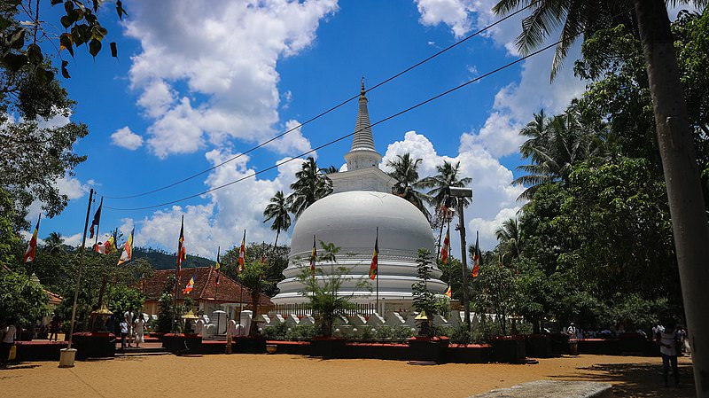 Muthiyangana Raja Maha Vihara
Muthiyanganaya Raja Maha Viharaya lies in the centre of the city of Badulla. The History of this temple goes back to the time of Buddha but this area around Badulla goes way back in to the time of 19th -18th century BCE.
-
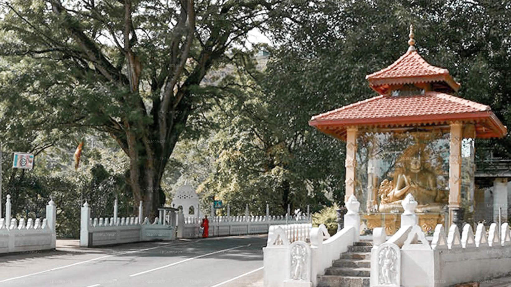 Dowa Raja Maha Viharaya
Dowa Raja Maha Viharaya (Dowa Cape Temple) lies few kilometres away from the Bandarawela town on the Bandarawela – Badulla Road. This temple is thought to be done by King Walagamba in the in first century BC.
-
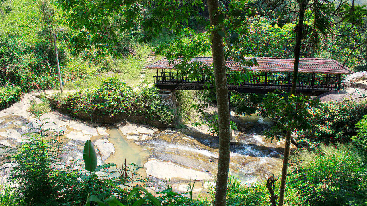 Bogoda Wooden Bridge
The Bogoda Wooden Bridge was built in the 16th century during the Dambadeniya era. This is said to be the oldest surviving wooden bridge in Sri Lanka. The bridge is situated at 7 kilometres (4.3 mi) west of Badulla.
-
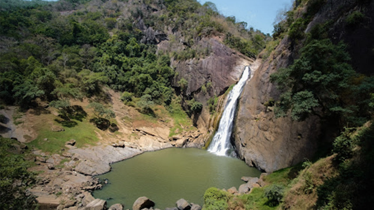 Dunhinda Falls
Dunhinda Falls is situated about 5 km away from Badulla town. It is 63 meters high and is considered to be one of the most beautiful waterfalls in Sri Lanka. The falls gets its name dew to the smoky dew drops spray.