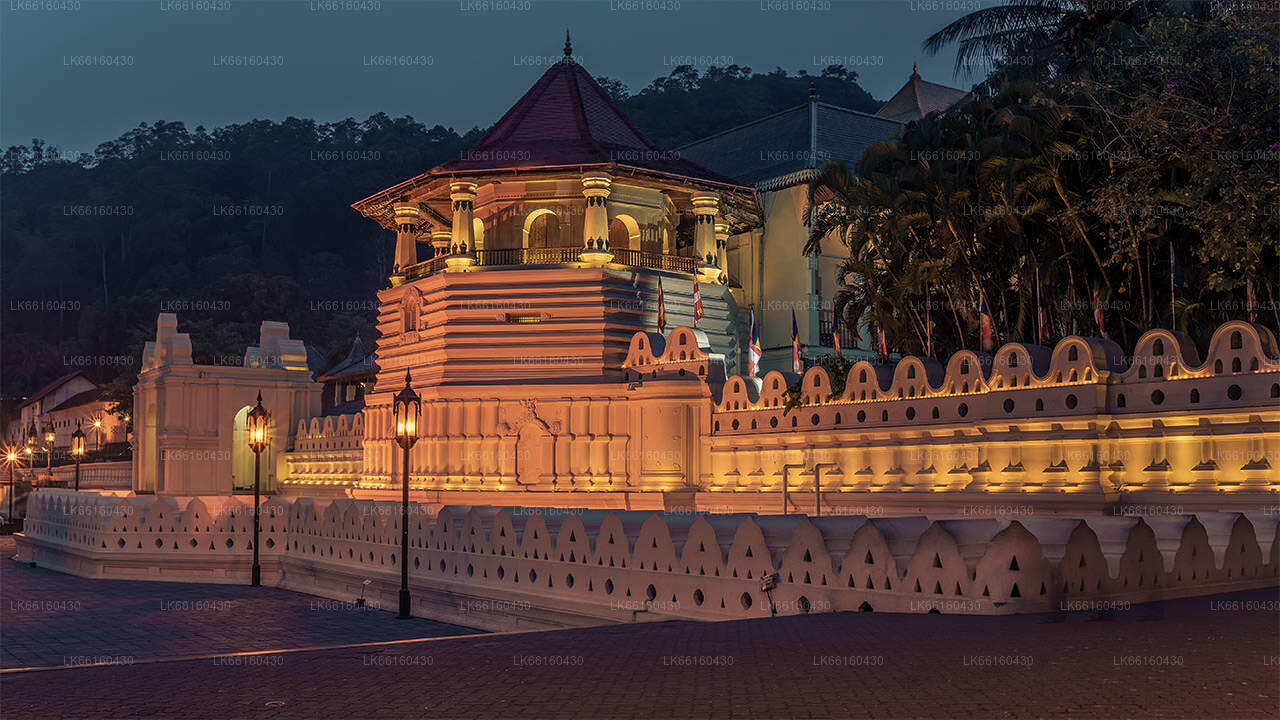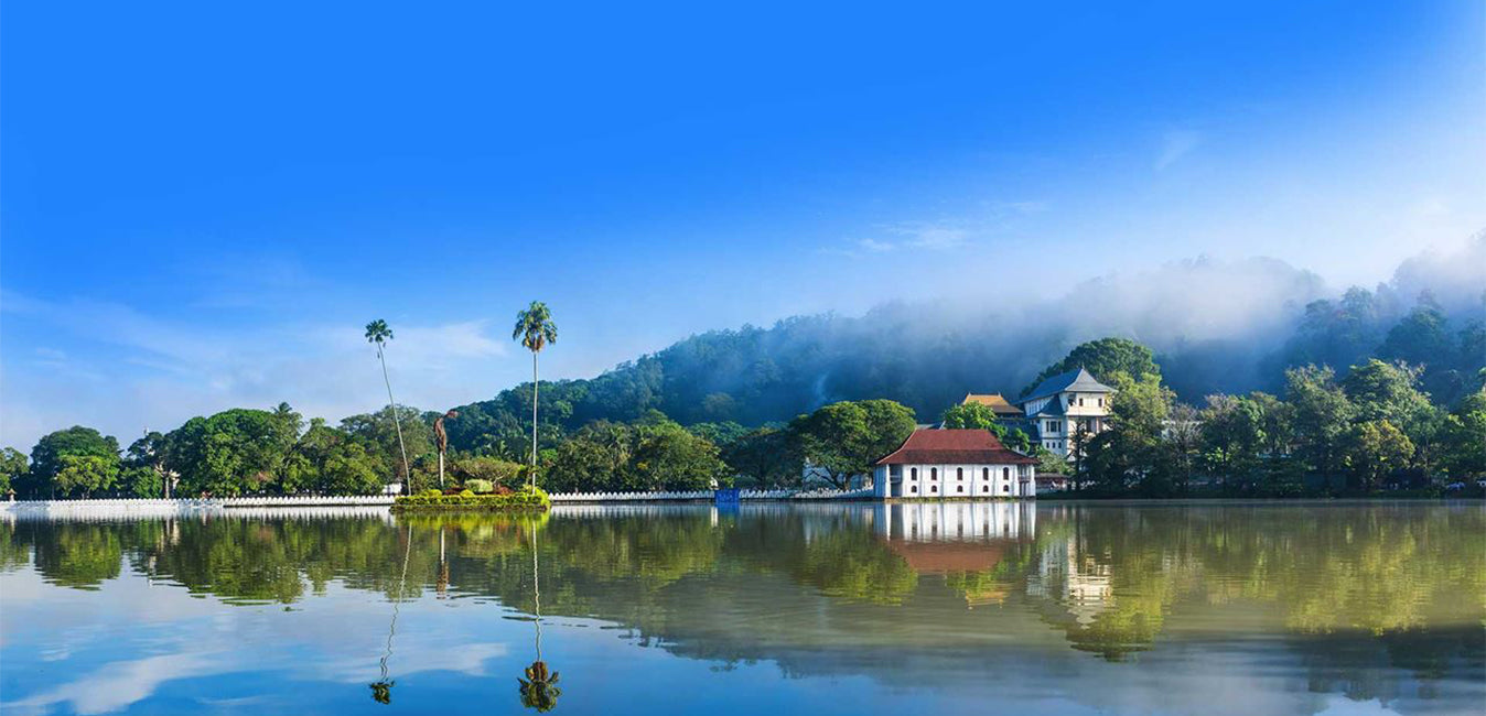
康提是斯里兰卡中部一座风景如画的城市,以其丰富的文化遗产、热闹的节日和优美的景色而闻名。康提坐落在葱郁的群山之中,是联合国教科文组织世界遗产佛牙寺的所在地,将历史与自然的壮丽完美融合,令人叹为观止。
康提是斯里兰卡中部一座风景如画的城市,以其丰富的文化遗产、热闹的节日和优美的景色而闻名。康提坐落在葱郁的群山之中,是联合国教科文组织世界遗产佛牙寺的所在地,将历史与自然的壮丽完美融合,令人叹为观止。
The Last Kingdom Of Ceylon Kandy
The Kingdom of Kandy was a monarchy on the island of Sri Lanka, located in the central and eastern portion of the island. It was founded in the late 15th century and endured until the early 19th century.
Initially a client kingdom of the Kingdom of Kotte, Kandy gradually established itself as an independent force during the tumultuous 16th and 17th centuries, allying at various times with the Jaffna Kingdom, the Madurai Nayak dynasty of South India, Sitawaka Kingdom, and the Dutch colonizers to ensure its survival.
From the 1590s, it was the sole independent native polity on the island of Sri Lanka and through a combination of hit-and-run tactics and diplomacy kept European colonial forces at bay, before finally falling under British colonial rule in 1818.
The kingdom was absorbed into the British Empire as a protectorate following the Kandyan Convention of 1815, and definitively lost its autonomy following the Uva Rebellion of 1817.
Over the years, the Kingdom of Kandy has been known by many names.
- Kanda Uda Pasrata
- The Senkadagala Kingdom
- The Kanda Udarata
- The Mahanuwara Kingdom
- Sri Wardhanapura
- Sinhalé
- Thun Sinhalaya or Tri Sinhala
- Kande Nuwara
- The Kingdom of Kandy
Much of the Kandy Kingdom's territory was located in Sri Lanka's mountainous and thickly forested interior, with mountain passes to the capital providing plenty of opportunities for defenders to stage ambushes. Routes to the city were kept secret, and spreading information concerning them could often result in death. Many routes into the hill country became impassable during the annual monsoon, and malaria was rife. Throughout its existence Kandyan forces used the land to their advantage, engaging in guerrilla warfare against invading forces,[8] and evacuating major urban centres when enemy forces drew near – a tactic used with particular effect during the Kandyan Wars. Though the kingdom had intermittent access to the port of Batticaloa it had no naval forces and could not prevent the Portuguese and Dutch maintaining a strong presence in lowland areas.
The city of Senkadagalapura may have been founded as early as the mid-14th century during the reign of Vikramabahu III of Gampola (1357–1374). Central Sri Lanka was ruled by the kings of Kotte from the early 15th to late 16th centuries; with Kotte's weakening in the face of Portuguese influence the area developed into an autonomous domain with Senkadagalapura at its capital. Following the Spoiling of Vijayabahu in 1521, and the subsequent partition of the kingdom of Kotte, Kandy asserted its independence and emerged as a serious rival to the eastern and southern kingdoms.
关于康提区
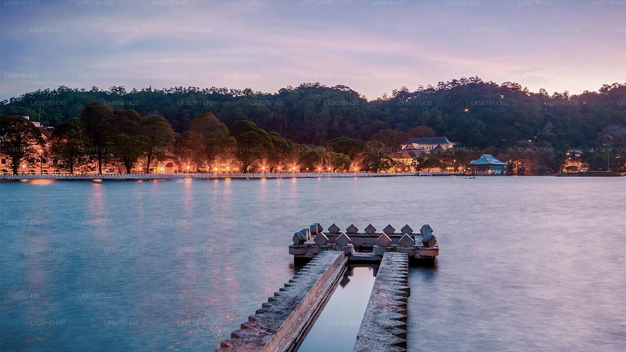
康提区位于斯里兰卡中部省份。康提是斯里兰卡七大世界遗产之一,曾是 16 世纪康提国王的故乡,也是该国音乐、艺术、工艺和文化的源泉。康提距离科伦坡约 129 公里,坐落在丘陵地带,所有人的目光都集中在市中心,康提湖在那里形成了一道迷人的风景。康提对斯里兰卡具有重要的宗教意义,因为达拉达·马利加瓦(Dalada Maligawa)就坐落在这个迷人的城市,佛牙寺内安放着佛陀的圣牙舍利,并受到严密保护。佩拉德尼亚皇家植物园位于佩拉德尼亚市中心以西约 5 公里处,每年接待 120 万人次参观,是岛上最大的植物园。乌达瓦塔森林 (Udawatta Kele) 是位于市中心、佛牙寺北面的一处保护区。康提是一座僧伽罗人占多数的城市;也有相当数量的其他族裔社区,如摩尔人和泰米尔人。康提是仅次于科伦坡的斯里兰卡经济中心。许多大型公司在康提设有大型分支机构,纺织、家具、信息技术和珠宝等众多行业都在这里落户。许多农业研究中心都位于该市。康提也是该国所有音乐、艺术、工艺和文化的源头。康提距科伦坡约 129 公里,坐落在丘陵地带,所有人的目光都集中在市中心,康提湖是这里的一道迷人风景。康提对斯里兰卡具有重要的宗教意义,因为佛牙寺就坐落在这座迷人的城市中,佛陀的圣牙舍利就安放在其中,并得到妥善的保护。
关于中央省
斯里兰卡中央省主要由山地构成。该省面积5,674平方公里,人口2,421,148。主要城镇包括康提、甘波拉(24,730)、努沃勒埃利耶和班达拉维拉。人口由僧伽罗人、泰米尔人和摩尔人组成。山地首府康提和努沃勒埃利耶市以及斯里帕达都位于中央省。该省盛产著名的锡兰茶,这种茶由英国人在19世纪60年代一场毁灭性的疾病摧毁了该省所有的咖啡种植园后种植。中央省吸引了众多游客,拥有康提、甘波拉、哈顿和努沃勒埃利耶等山地度假小镇。佛牙寺(Dalada maligawa)是中央省的主要圣地。气候凉爽,海拔1500米左右的许多地区夜晚常常寒冷。西坡非常湿润,有些地方年降雨量接近7000毫米。东坡属于中干旱地区,仅受东北季风影响。气温范围从康提的24°C到海拔1889米的努沃勒埃利耶的16°C。斯里兰卡最高的山脉位于中央省。地形以山地为主,深谷穿插其中。两个主要山区是中央山脉和康提东部的努克尔斯山脉。


