纳克尔斯山脉


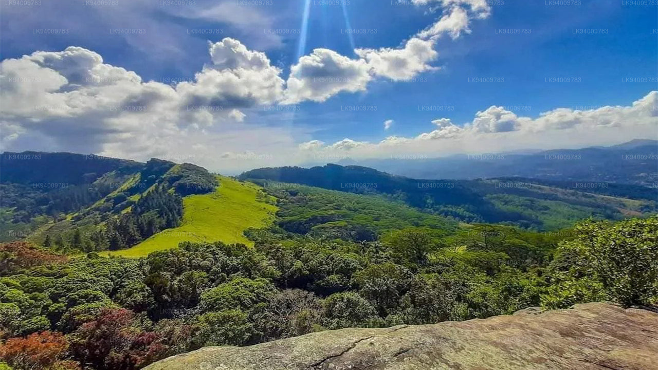
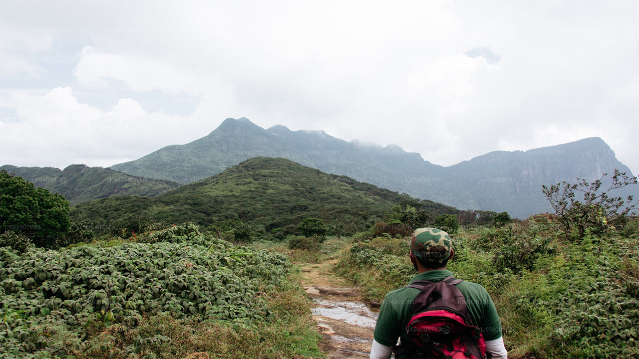
Knuckles 山脉,也叫 Dumbara 山脉,位于靠近 康提,在 斯里兰卡 中央高原的北端。山脉的南部和东部是 马哈维利河 流域,而西部是 马塔莱 平原。
到达 Knuckles 山脉
登山者常用的路径从 康提 向东至 Hunnasgiriya 的 A26 主干道开始。在 Hunnasgiriya,一条 B 等级的道路通向 Corbett's Gap,从那里可以欣赏到 Knuckles 山脉的壮丽景色。从 Corbett's Gap 出发,通往 Meemure 村的道路也可以由具有良好底盘间隙的车辆通行。
登山者还有两个其他的入口选项:通过 马塔莱 和 Rattota 经由 Riverston,以及通过 Wattegama 和 Panwila。Knuckles(Dumbara Hills)崎岖的山峰因其形状像紧握的拳头而被英国人命名。陡峭的山地地形在主 Knuckles 峰的顶部达到了 1863 米(斯里兰卡第六高的山峰),并包含稀有的矮小云雾森林。
Knuckles 山脉的徒步旅行
Knuckles 山脉是斯里兰卡最美丽的自然 景点 之一。草地、崎岖的山峰、间歇的小溪以及瀑布交替的变化地形,使得覆盖 18,512 公顷的 Knuckles 山脉成为登山者的天堂。
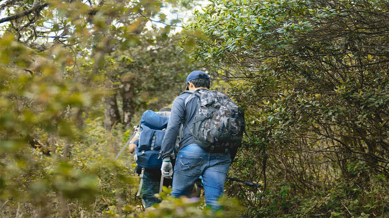
Knuckles 山脉是一个世界遗产保护区,提供了许多有趣的徒步旅行机会,至今大部分仍然是一个原始且具有重要自然美景和生物多样性的区域。严肃的登山者和生物多样性爱好者甚至会与向导一起进行 40 多公里的三天徒步旅行。
热门的 徒步 路线包括从 Deanston 到 Mini World's End、从 Deanston 到 Dothalugala 的路线、从 Corbett's Gap 到 Nitro Caves 的路线、从 Corbett's Gap 通过 Thangappuwa 到 Augallena Cave 的路线,以及从 Meemure 村到 Kalupahana 的路线。
Knuckles 山脉的 Mini World's End
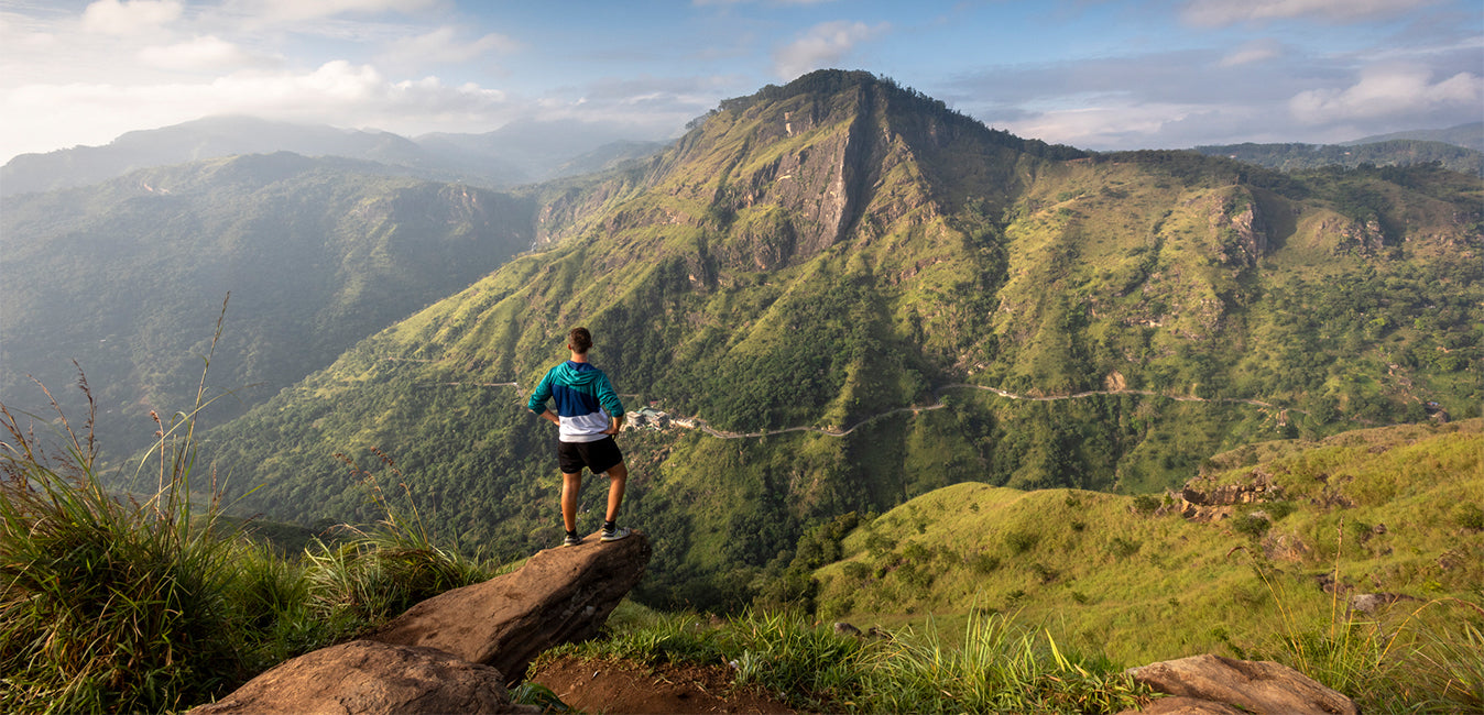
Mini World's End(1192 米)是位于 Knuckles 山脉南端的一个断崖,是一个极好的观景点。从这个位置,可以看到 Knuckles 山脉的全景以及一些位于山脚下的村庄。从 Knuckles 保护中心(KCC)- Deanston 开始的 1.1 公里徒步旅行可以在一个小时内完成。
Knuckles 山脉的山峰
Knuckles 山脉拥有 34 座山峰,海拔从 900 米到 1900 米不等。山脉中的五座高山峰因其形状像紧握的拳头而被英国人在锡兰时命名为 Knuckles 山脉。
天气与季节
Knuckles 山脉的天气变化无常,可能在几分钟内发生变化。浓雾可以在短短几分钟内笼罩整个山脉,雨水也可能随时降临。
十二月 到 二月 是在 Knuckles 享受 徒步旅行 的好时机,降雨的可能性适中。三月 到 五月 也是一个适宜徒步的好时机,降雨的几率较低。六月 到 九月 这段时间降雨最少,是最好的机会。九月 到 十一月 通常因为降水较多而不被登山者青睐。
Knuckles 山脉的气候
Knuckles 山脉的年降水量在 3000-5000 毫米之间,温度范围在 5.5 到 35 摄氏度之间。西南季风通过山脉的缝隙带来降水。平均风速约为 7.2 公里/小时,湿度在 57% 到 90% 之间。
Meemure、Kaikawala 和 Galamuduna 是 Knuckles 山脉及周边的传统村庄。该地区居住着 37 个古老村庄的村民。这些原住民的生存依赖于水稻种植、荒地耕作和小豆蔻种植。农产品的运输由名为 Thawalama 的驮牛完成。Meemure 是一个如此传统的村庄,直到 2008 年才通电。
Knuckles 山脉的生物多样性
Knuckles 山脉是野猪、斑点鹿、巨型松鼠、吠鹿、紫面叶猴、獴和豪猪等哺乳动物的家园。
Knuckles 山脉还拥有一些特有的蜥蜴物种,如无鬃蜥蜴(Calotes liocephalus)、侏儒蜥蜴(Cophotis ceylonica)、袋鼠蜥蜴(Otocryptus wiegmanni)和叶鼻蜥蜴(Ceratophora tennentii),这些蜥蜴仅在此地发现。Knuckles 山脉是至少 200 种鸟类的栖息地,其中 15 种是斯里兰卡特有的,包括斑翅画眉、斯里兰卡蓝鹊、丛林鸡、黄额木啄、红前木啄、斯里兰卡歌鹟、白脸椋鸟、斯里兰卡白眼、黑头椋鸟、黄耳椋鸟、灰蓝捕蝶鸟、棕帽八哥和莱亚德鹦鹉。
Knuckles 山脉的森林覆盖
Knuckles 山脉的森林覆盖种类繁多:
-
 Pidurutalagala
Pidurutalagala or Mount Pedro in English, is an ultra prominent peak, and the tallest mountain in Sri Lanka, at 2,524 m (8,281 ft). Mount Pedro is located close to the city of Nuwara Eliya, and is easily visible from most areas of the Central Province. It is situated North-North-East from the town of Nuwara Eliya.
-
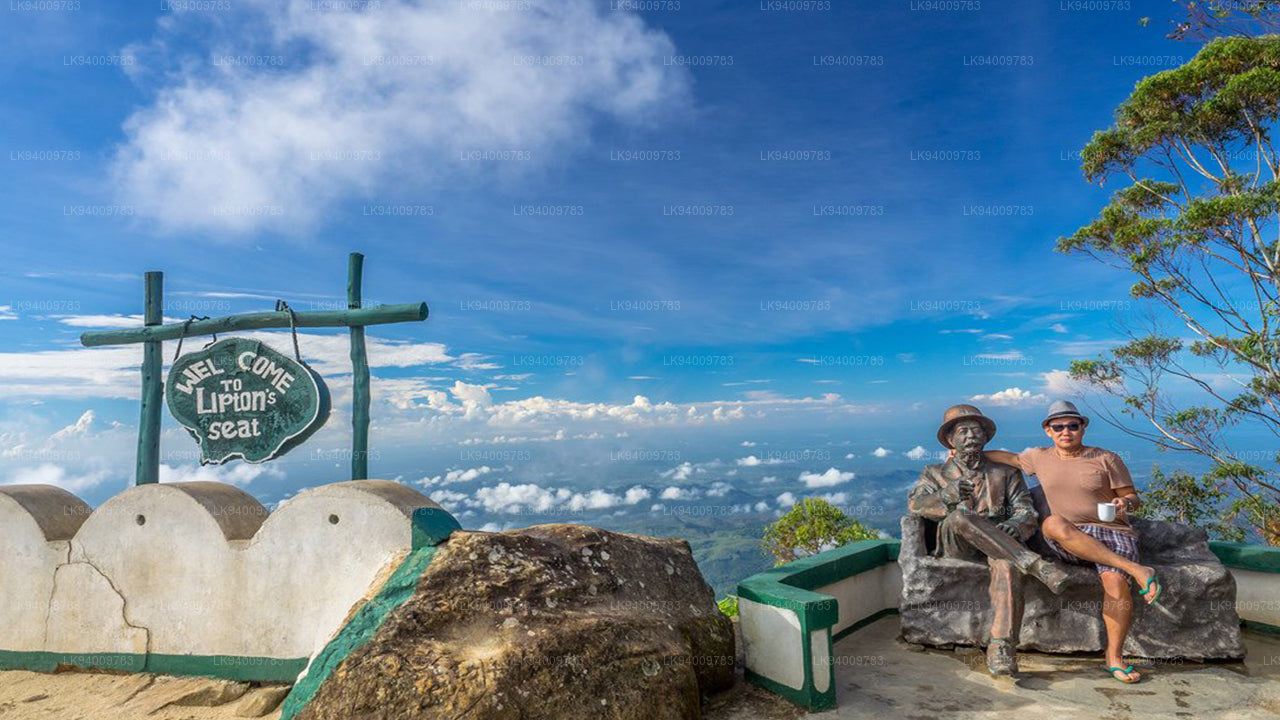 Lipton's Seat
Lipton’s Seat is a high observation point in the hills of Poonagala. Located on the top of the town’s namesake, Poonagala Hill, it is also near the Dambatenne Tea Factory. Lipton’s Seat is so named because the famed Scottish baron and tea planter Sir Thomas Lipton used it as the seat to survey his empire in a time long gone but not forgotten.
-
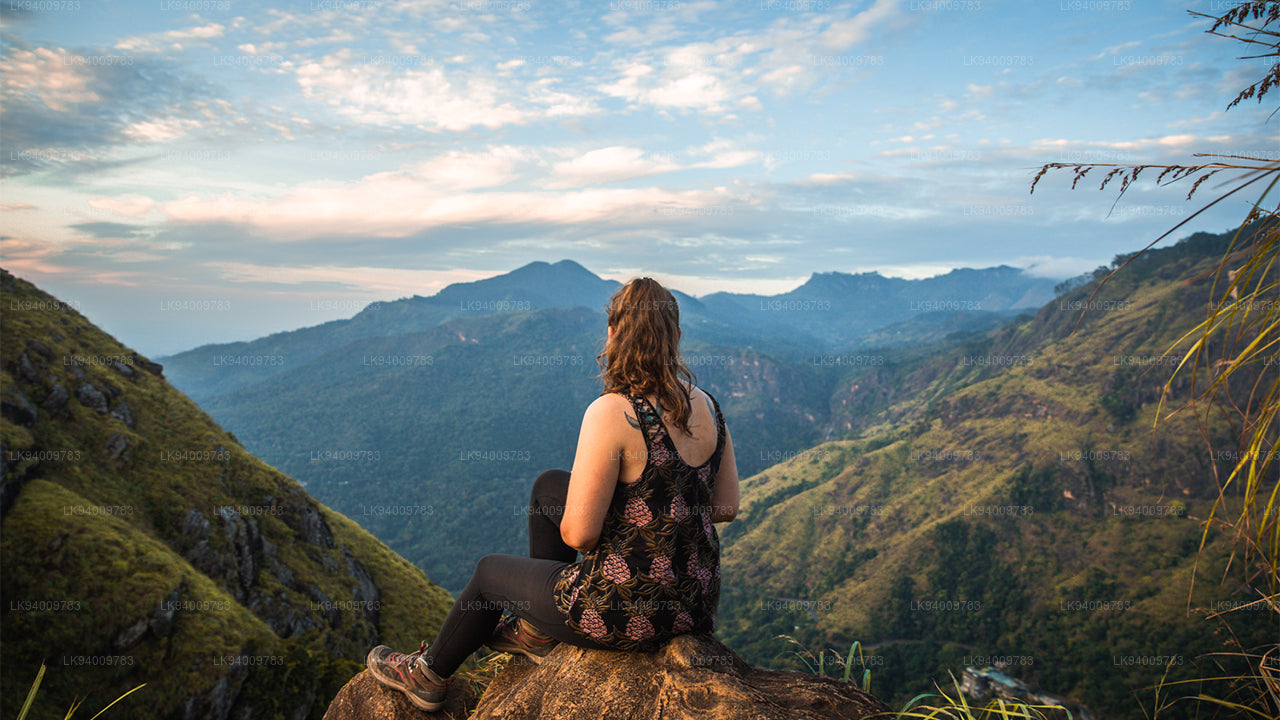 Little Adam’s Peak
Don’t defiance the beautiful tourism site in Sri Lanka, Little Adams Peak whether considering the word ‘Little’, it is named after the sacred Adams Peak (Sri Pada –where the foot print of Lord Buddha is preserved) regarding the similarity between the two mountains.
-
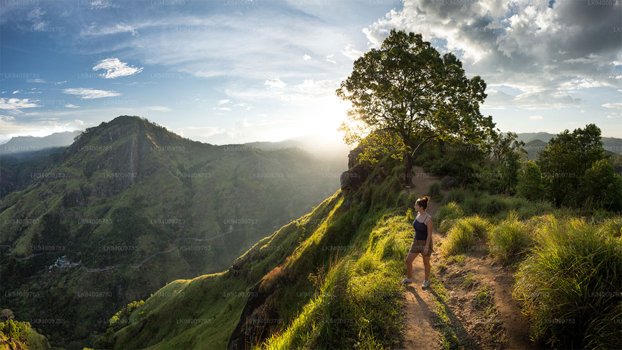 Ritigala
Ritigala can be reached from the turn-off from Habarana-Anuradhapura Road at a distance of 12 km from Habarana. Another 5 km along a graveled yet motorable road leads to the foot of the mountain.
-
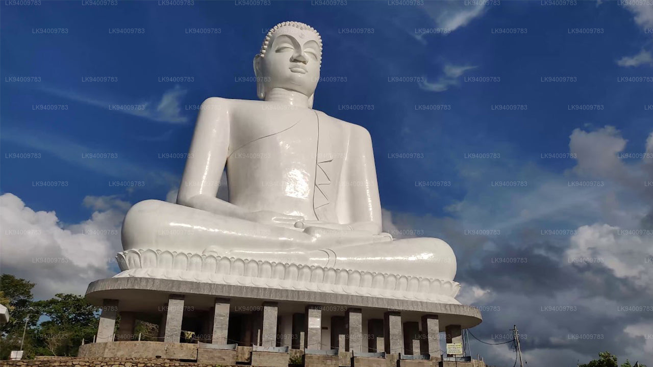 Ethagala (Elephnat Rock)
Ethagala (the Elephant Rock) is one of seven rocks that overlook the town of Kurunegala, in Sri Lanka. The rock face reaches 316 metres (1,037 ft) over the town and in its shape resembles a crouching elephant, which explains the rock’s name.
-
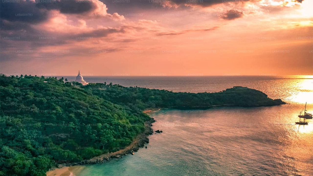 Rumasalla Mountain
Rumasalla Mountain. In the past, Rumassala was known as Buono Vista, a name that dates back to the colonial period, and most likely a corruption.
-
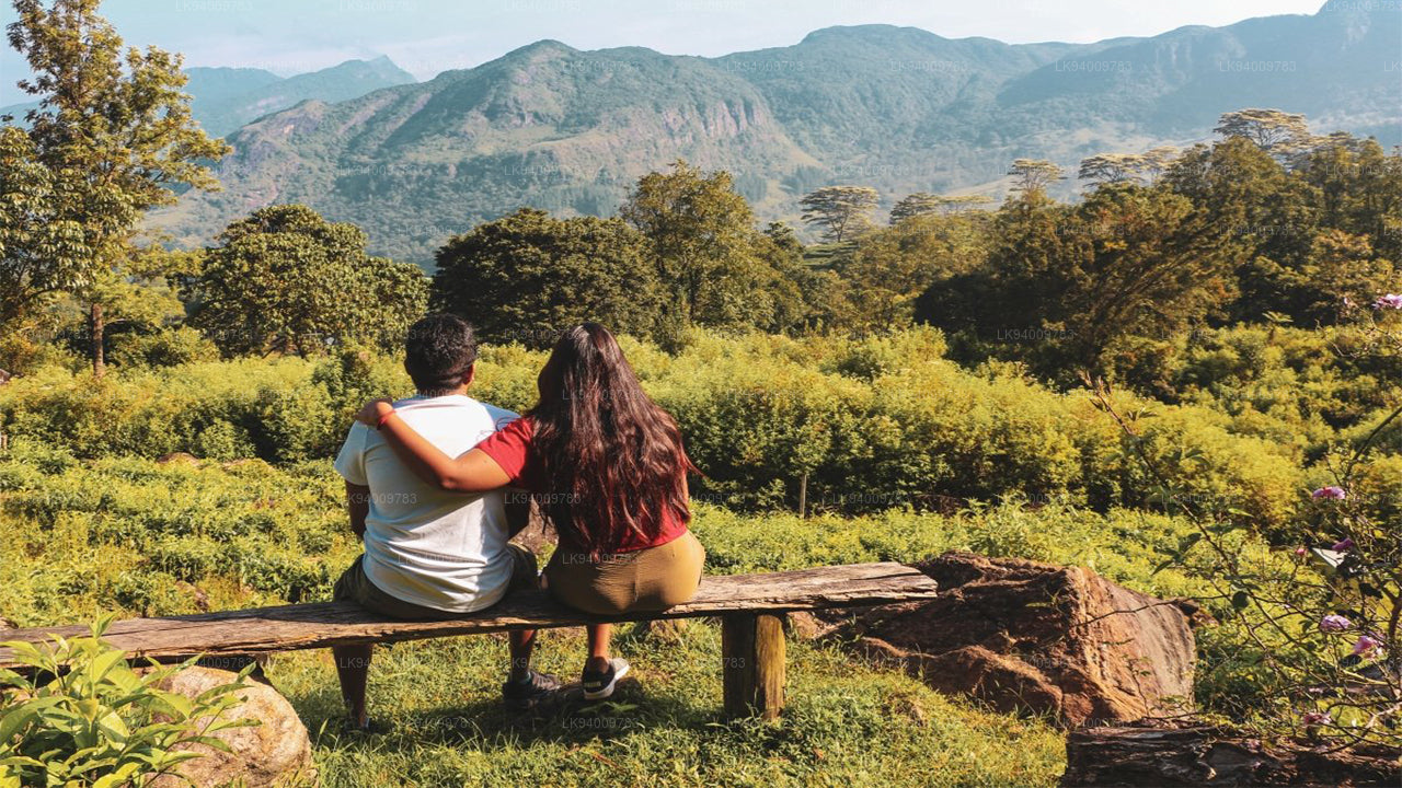 Knuckles Range
Knuckles range also called Dumbara mountain range is located off Kandy, in the northern end of Central Highlands of Sri Lanka. To the south and east of the mountain range is Mahaweli river basin while to the west are Matale plains.
-
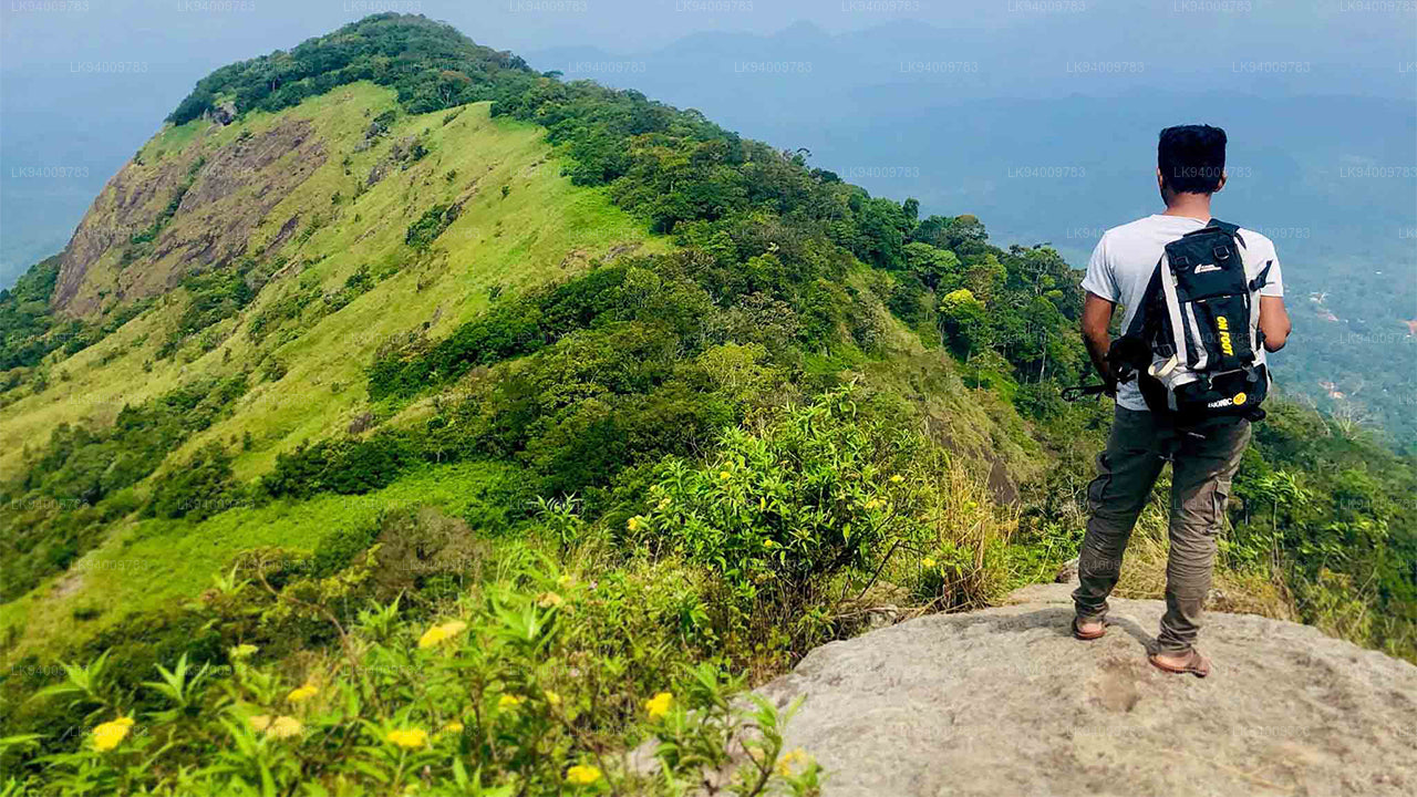 Alagalla Mountain Range
Alagalla Mountain Range. Alagalla Mountain Range or “Potato Range” is situated at the boundaries of the Central and Sabaragamuwa Provinces in Sri Lanka.
-
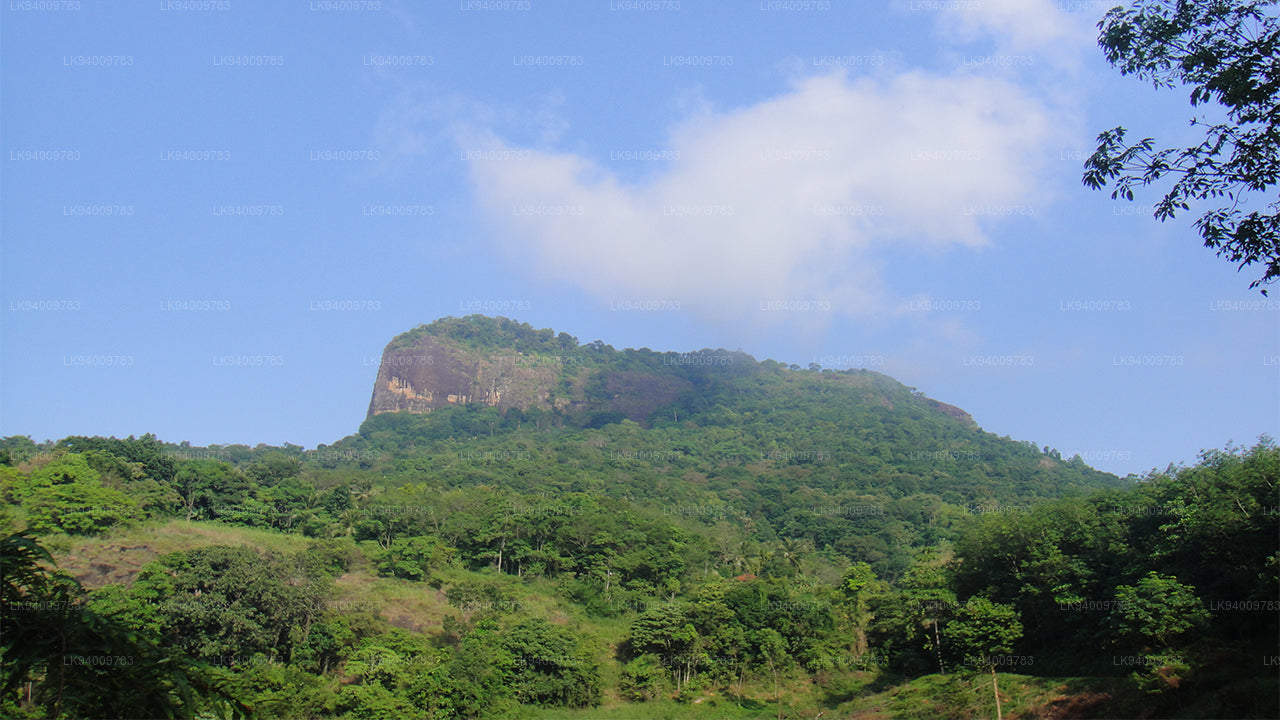 Bible Rock
Bible Rock is a mountain near Aranayake in Kegalle District in central Sri Lanka. It is known as the “Bible Rock” as its surface resembles.
-
 Monkey Mountain
Monkey Mountain. The Gal Oya area is resplendent with forest and lush with vegetation. Totally off-the-beaten-track and off-limits during the war, the area has avoided much development and the landscape is mostly unspoiled.
-
 Yahangala
The great King Ravana’s body was kept after his death upon this rock called Yahangala( bedrock), for his countrymen to pay their last respects to their dear departed king.