里蒂加拉山


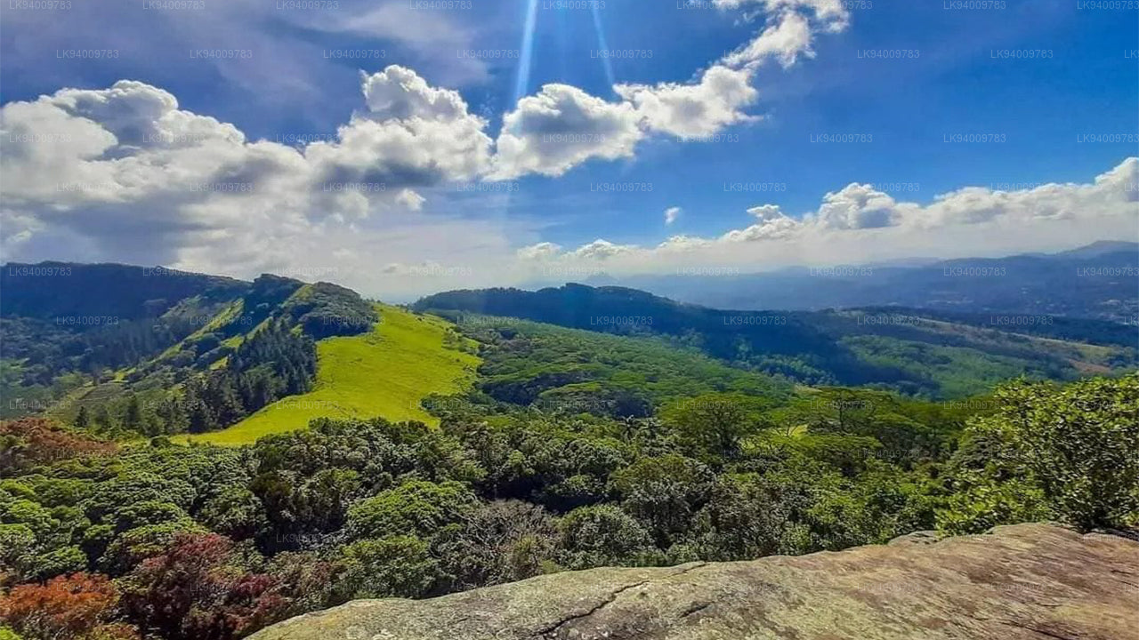
里提伽拉 是位于 斯里兰卡 中部的一座山,山上有一座古老的 佛教 寺院。寺院的遗址和岩石刻文可追溯到公元前 1 世纪。它距离古代寺院城市 阿努拉达普勒 约 43 公里。
里提伽拉 山由四个山峰组成,这些山峰从周围的平原上陡峭地升起。山的长度为 6.5 公里,并通过 Maha-Degala 峡谷将山分为北部和南部两个部分。最最高的山峰是位于南部的 里提伽拉 神田。
里提伽拉 位于海拔 766 米,约比周围的平原高出 600 米,是 斯里兰卡 北部的最高山。现代名称 里提伽拉 来源于古代名称 阿丽莎·帕巴塔,意思是“可怕的山”,在《摩诃僧伽法》一书中有提到。
它的高度高于其他北中部平原上的著名景点,包括 狮子岩、丹布拉 和 米欣塔莱。这个地形特征的重要性在于它的山体的急剧坡度、被森林覆盖的斜坡和山顶的湿润气候。
气候
这些山脉挡住了湿气充足的风,并产生地形性降水,使这些山比周围的低地更潮湿。在东北季风(12月到 2月)期间,里提伽拉 记录了整个干旱区中最大的降水量。
里提伽拉 的湿润气候是北中部平原上独特的现象,位于 斯里兰卡 的古老地区,这里被称为 韦武·班迪·拉塔,意为“雨水储存池的土地”。
山顶的气候与山脚的气候截然不同。它比周围地区的炎热和干燥气候更凉爽。西南季风期间的雾和云层导致水蒸气的凝结增多,即使周围的平原经历干旱,土壤依然保持湿润。
里提伽拉 严格自然保护区
里提伽拉 是一个面积为 1,528 公顷的严格自然保护区。它于 1941 年 11 月 7 日成立,由 野生动物 保护部和 斯里兰卡 的森林部门共同管理。
传说
有许多传说与 里提伽拉 相关。其中一个神秘的信仰与山顶附近发现的强大药草有关。一种名为 Sansevi 的药草被认为有延长寿命并治愈人类疾病的力量。根据传说,里提伽拉 上的所有植物都受到山神 Yakkas 的保护。
尊敬的沃尔波拉·斯里·拉胡拉·马哈·泰拉教授,是一位 佛教 僧侣和 历史 和宗教的教授,他指出 Yaksa 这个词指的是值得尊敬的超自然存在。它也可能指代 斯里兰卡 在 佛教 传入之前的原住民社区。
另一个传说说,王子 潘杜卡巴亚 在与八个叔叔的战斗中获得了 雅卡斯 的帮助,战斗发生在 里提伽拉 的山脚下。另一个故事提到,两个巨人(可能是 雅卡斯)——索玛 和 贾亚塞纳 之间的决斗。索玛 在决斗中被杀,而 贾亚塞纳 成为传奇人物。
哈奴曼和 里提伽拉 的传说
根据流行的信仰,哈奴曼神曾在运送一部分满载药草的喜马拉雅山脉时飞越 里提伽拉。他将这座山带到兰卡,以便获得一种稀有的草药,来挽救拉克什曼王子(拉玛神的兄弟)的生命。在这次旅程中,传说中山的一部分掉落到了 里提伽拉 上。
这个传说通常用来解释 里提伽拉 顶部发现的不同寻常的植被,这些植被与下坡和周围平原上的干旱地区的典型植被不同。
另一个故事描述了哈奴曼早期访问兰卡时的经历,当时他在寻找拉玛的妻子 悉多,她被 罗波那 王偷走。根据传说,哈奴曼使用 里提伽拉 神田 作为跳跃到南印度的起点。
里提伽拉 古代寺院的遗址
里提伽拉 寺院的遗址位于山的东侧,在主峰和北岭之间的峡谷底部。这些遗址覆盖了大约 24 公顷的面积。寺院复杂的建筑从 班达波库纳 这个水库附近开始。
这个古老的水库是早期工程技术的一个令人印象深刻的例子,周围大约有 366 米长的堤坝。水库的建造传统上归功于 Pandukabhaya 国王。水库被认为是供访客在进入寺院之前进行仪式性沐浴的地方。
浴池、入口遗址和小道的布局表明,过去有大量的信徒参拜这个寺院。这种仪式性的做法类似于 卡塔拉加马 的传统,朝圣者们在献祭宗教供品之前开始进行净化浴。
沿着水库的边缘走,会到达一条小溪和一组陡峭的阶梯,这些阶梯通向一条精美修建的石路。这条铺设的路宽约 1.5 米,穿过森林,连接寺院的主要建筑。路面由相互连接的石板铺成,间隔处设置有圆形休息平台。
石桥、高平台和庭院
寺院包含双平台结构,称为 帕达纳加拉,这是森林寺院的特点。在 阿努拉达普勒 附近的其他森林寺院中也可以找到类似的结构。
这些结构由用大石墙建成的高平台组成,通过石桥连接。平台可能有屋顶,并分为用于 冥想、教学和宗教仪式的房间。
附近的遗址表明这里曾经有一个寺院医院,那里准备了药草。石磨和用石雕刻的大型 阿育吠陀 油浴设施可以现如今看到。
主要的石路继续通过森林,经过通过巨大的树根之间的小径到达的观景点。还有一条人工瀑布,石板被放置在两块石头之间形成。
沿着小道走,您会看到一些低洼的庭院,里面有寺院复杂中最大的双平台结构。一个平台上仍然保留着曾经支撑建筑的柱子,另一个大平台则位于同一庭院内。
-
 Pidurutalagala
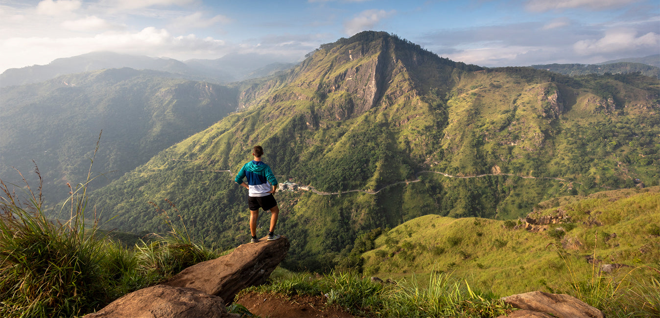
Pidurutalagala or Mount Pedro in English, is an ultra prominent peak, and the tallest mountain in Sri Lanka, at 2,524 m (8,281 ft). Mount Pedro is located close to the city of Nuwara Eliya, and is easily visible from most areas of the Central Province. It is situated North-North-East from the town of Nuwara Eliya.
-
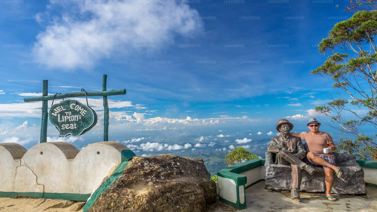 Lipton's Seat
Lipton’s Seat is a high observation point in the hills of Poonagala. Located on the top of the town’s namesake, Poonagala Hill, it is also near the Dambatenne Tea Factory. Lipton’s Seat is so named because the famed Scottish baron and tea planter Sir Thomas Lipton used it as the seat to survey his empire in a time long gone but not forgotten.
-
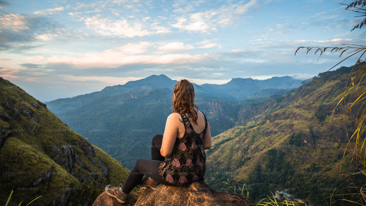 Little Adam’s Peak
Don’t defiance the beautiful tourism site in Sri Lanka, Little Adams Peak whether considering the word ‘Little’, it is named after the sacred Adams Peak (Sri Pada –where the foot print of Lord Buddha is preserved) regarding the similarity between the two mountains.
-
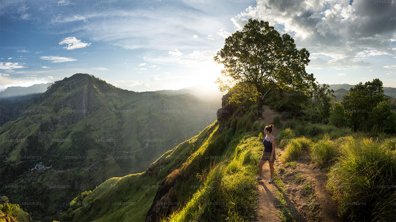 Ritigala
Ritigala can be reached from the turn-off from Habarana-Anuradhapura Road at a distance of 12 km from Habarana. Another 5 km along a graveled yet motorable road leads to the foot of the mountain.
-
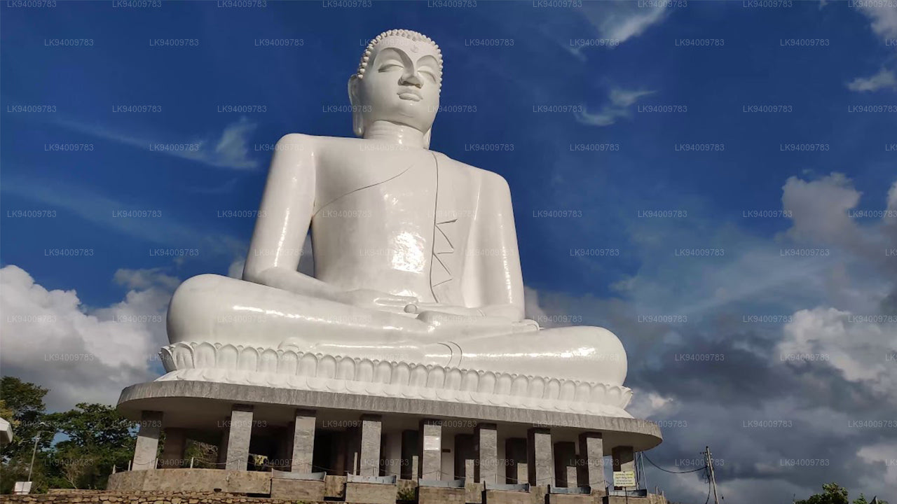 Ethagala (Elephnat Rock)
Ethagala (the Elephant Rock) is one of seven rocks that overlook the town of Kurunegala, in Sri Lanka. The rock face reaches 316 metres (1,037 ft) over the town and in its shape resembles a crouching elephant, which explains the rock’s name.
-
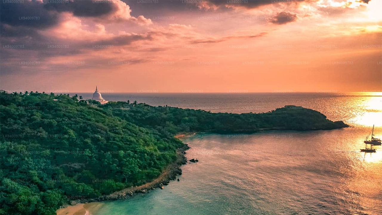 Rumasalla Mountain
Rumasalla Mountain. In the past, Rumassala was known as Buono Vista, a name that dates back to the colonial period, and most likely a corruption.
-
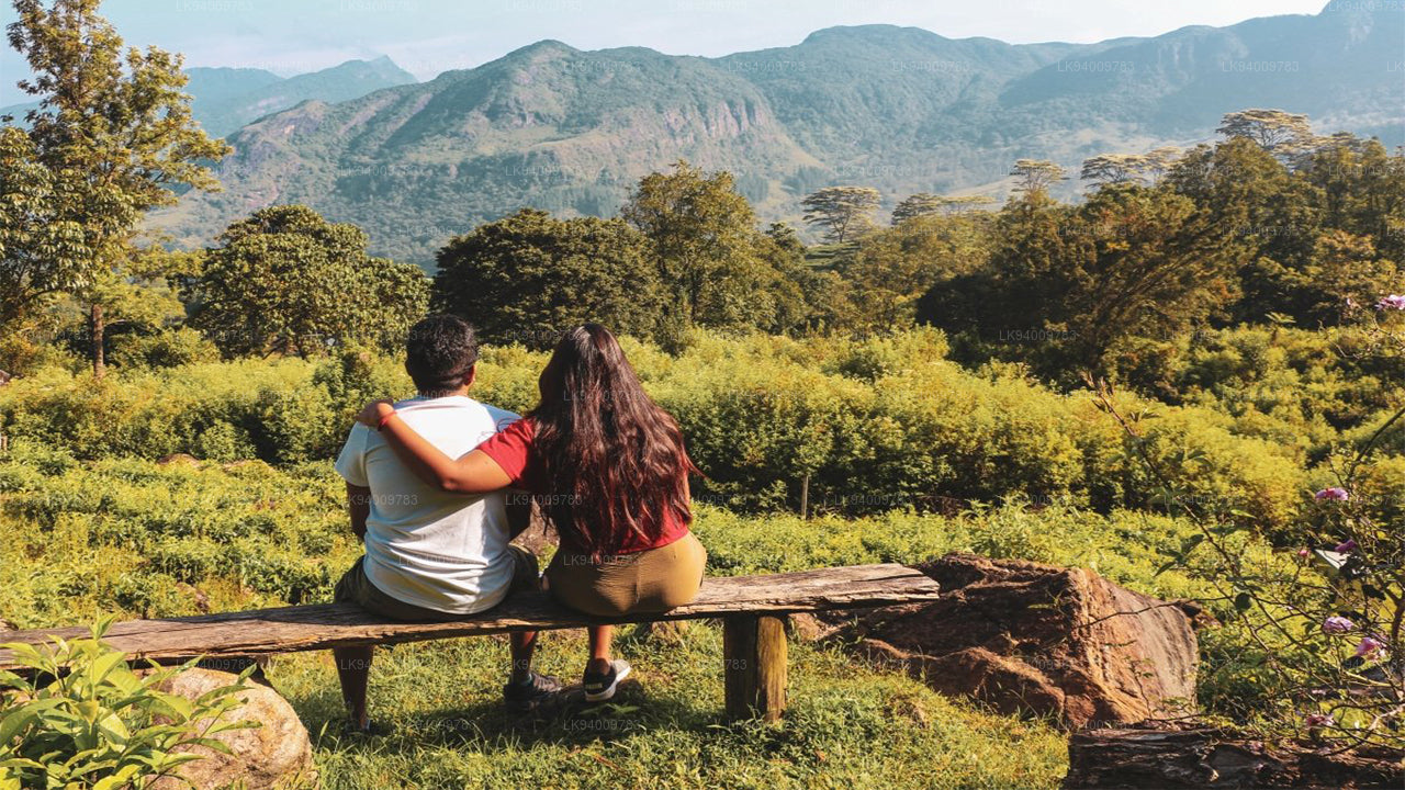 Knuckles Range
Knuckles range also called Dumbara mountain range is located off Kandy, in the northern end of Central Highlands of Sri Lanka. To the south and east of the mountain range is Mahaweli river basin while to the west are Matale plains.
-
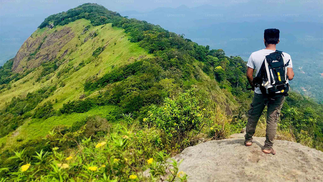 Alagalla Mountain Range
Alagalla Mountain Range. Alagalla Mountain Range or “Potato Range” is situated at the boundaries of the Central and Sabaragamuwa Provinces in Sri Lanka.
-
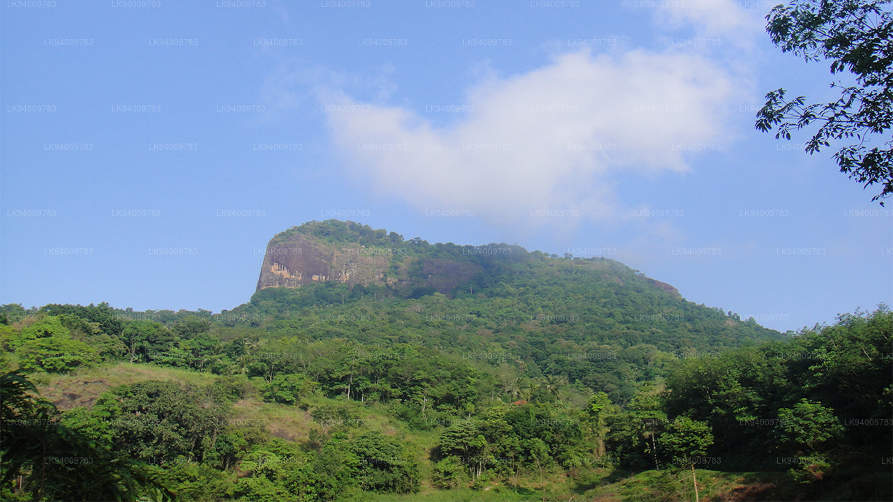 Bible Rock
Bible Rock is a mountain near Aranayake in Kegalle District in central Sri Lanka. It is known as the “Bible Rock” as its surface resembles.
-
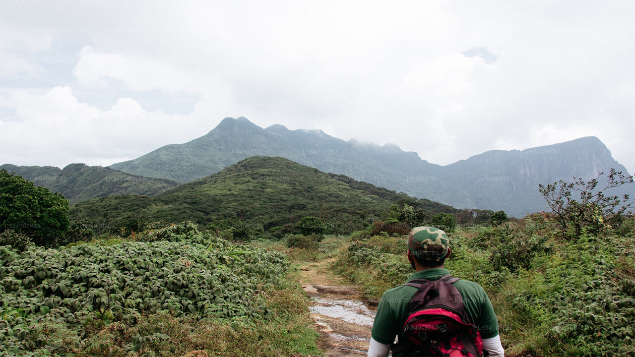 Monkey Mountain
Monkey Mountain. The Gal Oya area is resplendent with forest and lush with vegetation. Totally off-the-beaten-track and off-limits during the war, the area has avoided much development and the landscape is mostly unspoiled.
-
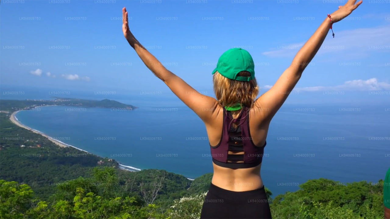 Yahangala
The great King Ravana’s body was kept after his death upon this rock called Yahangala( bedrock), for his countrymen to pay their last respects to their dear departed king.