Balana

Balana Balana Balana


About Balana

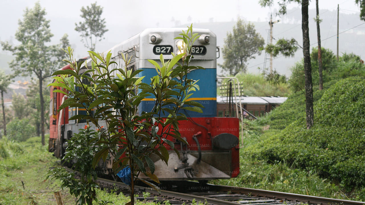
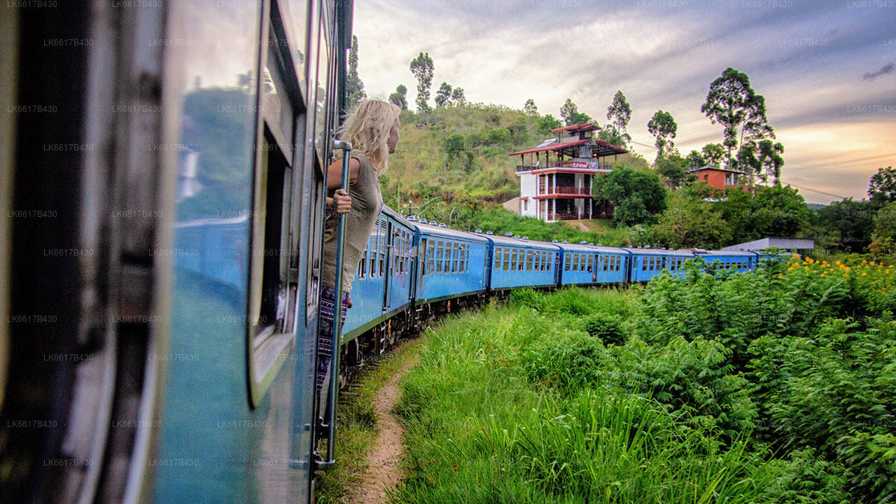
Balana is a suburb of Kandy, Sri Lanka. Balana popular as a rock fortress. It is situated near the Colombo-Kandy railway line.

Balana Fort, Alagalla mountain range are well known attraction located near Balana.


Balana Fort

Balana Fort was the main fortress established by the Kingdom of Kandy to protect the Sinhalese Kingdom from foreign powers, and is situated between Kadugannawa Pass and the Alagalla Range. Balana Fort is now a historical site managed by the Archaeological Department of Sri Lanka.[4


Alagalla Mountain Range

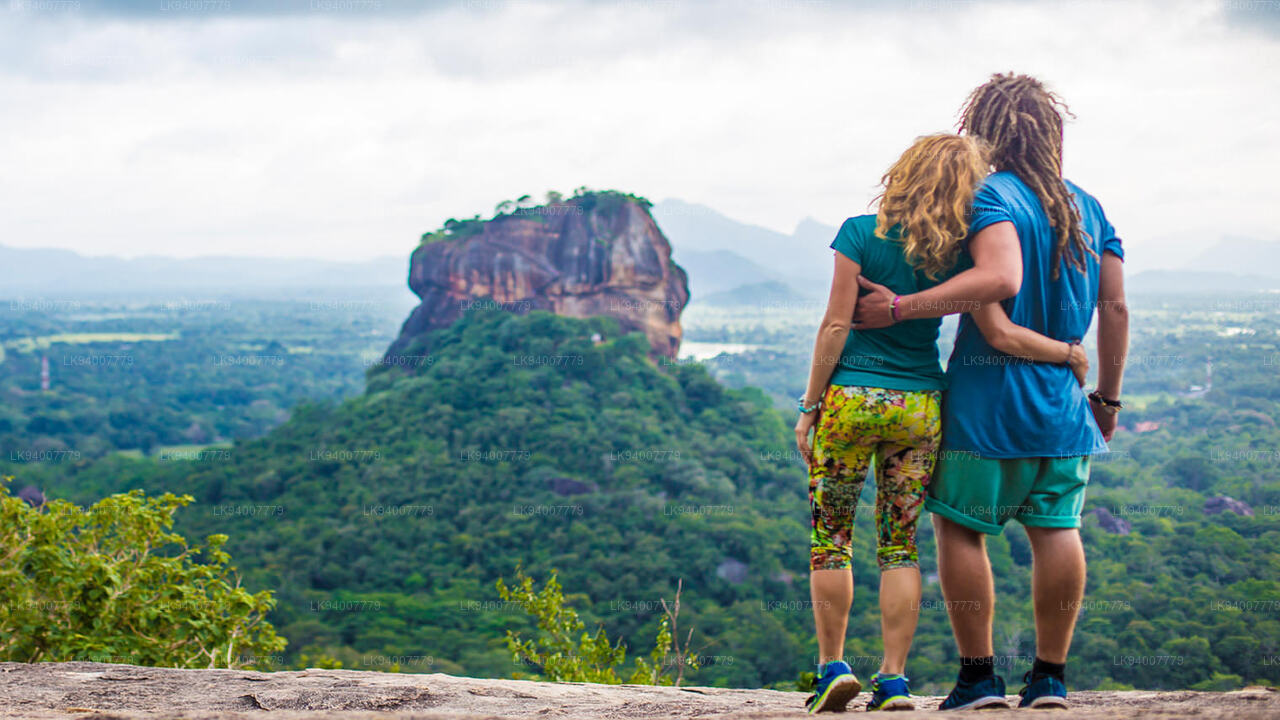
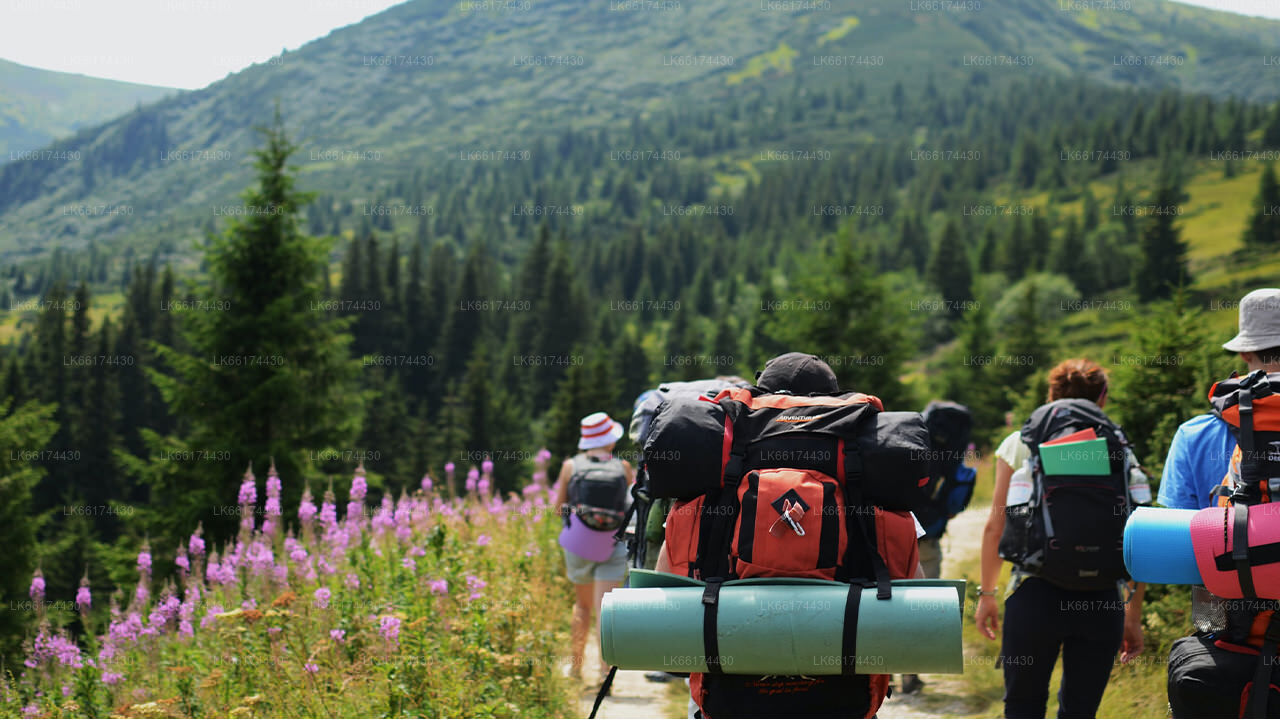
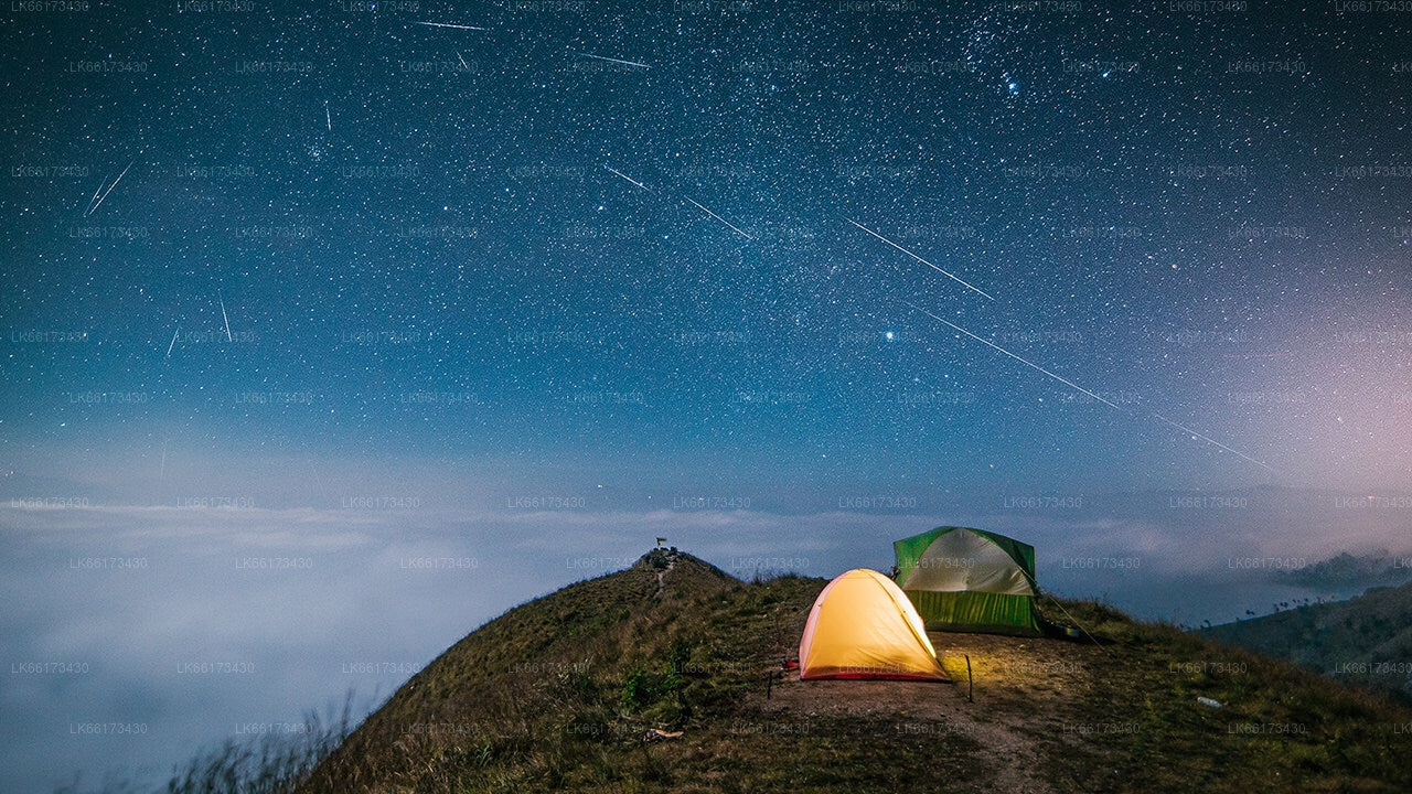
Alagalla Mountain Range is situated at the boundaries of the Central and Sabaragamuwa Provinces in Sri Lanka. Alagalla mountain has served as a natural defense location for nearly five centuries. He famous Balana Fort which functioned as a strategic rock fortress and an outpost to Kandyan kingdom was built between Kadugannawa Pass[1] and Alagalla Mountain Range. Attraction. Alagalla mountain popular as adventure hiking destination.


About Kandy District

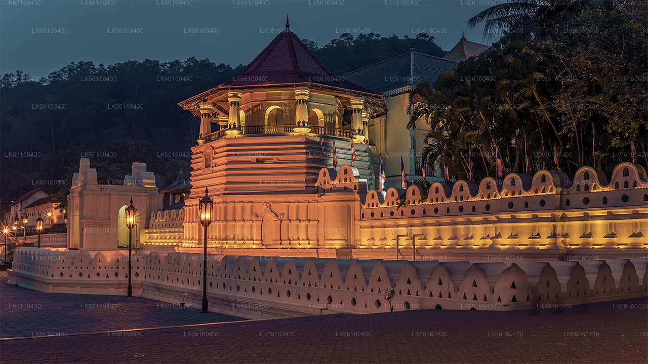
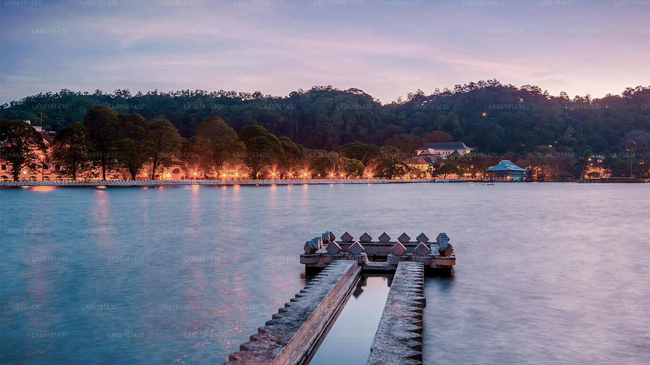
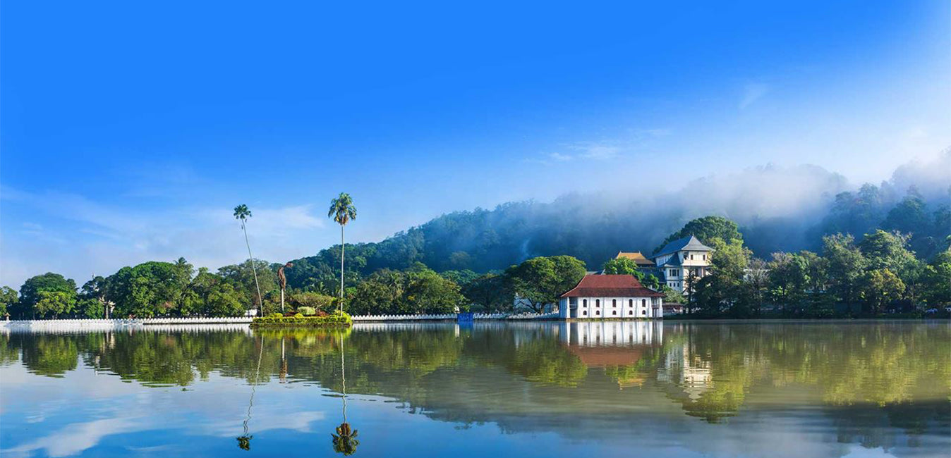
Kandy district is situated in the centrel province of Sri Lanka. One of the seven World Heritage Sites in Sri Lanka, Kandy was once home to the Kandyan Kings of yore in the 16th-century and a fountainhead for all the music, arts, crafts and culture in the country. About 129 km away from Colombo, Kandy is ensconced amongst a hilly terrain and all eyes are drawn to the centre of the city, where the Kandy Lake forms a charming feature. Kandy retains great religious significance for SriLanka, because it is in this charming city that the Dalada Maligawa or "Temple of the Tooth" is located, within which the sacred tooth relic of Lord Buddha lies well guarded.

The Royal Botanical Garden, Peradeniya is situated about 5 km to the west of the city centre at Peradeniya and is visited by 1.2 million people per year. It is the largest botanical garden on the island. The Udawatta Kele (Udawatta Forest) is a protected sanctuary situated in the heart of the city, just north of Temple of the Tooth.

Kandy is a Sinhala majority city; there are sizeable communities belonging to other ethnic groups, such as Moors and Tamils. Kandy is second only to Colombo the center of the Sri Lankan Economy. Many major co-operations have large branch officers in Kandy and many industries include textiles, furniture, Information Technology, and jewelry are found here. Many agriculture research centers are located in the city.


About Central Province

The Central Province of Sri Lanka consists primarily of mountainous terrain. The province has an area of 5,674 km², and a population of 2,421,148. Some major towns include Kandy, Gampola (24,730), Nuwara Eliya and Bandarawela. The population is a mixture of Sinhalese, Tamil and the Moors.

Both the hill capital Kandy and the city of Nuwara Eliya are located within the Central Province as well as Sri Pada. The province produces much of the famous Ceylon tea, planted by the British in the 1860s after a devastating disease killed all the coffee plantations in the province. Central Province attracts many tourists, with hill station towns such as Kandy, Gampola, Hatton and Nuwara Eliya. Temple tooth or Dalada maligawa is the main sacred place in Centrel province.

The climate is cool, and many areas about 1500 meters often have chilly nights. The western slopes are very wet, some places having almost 7000 mm of rain per year. The eastern slopes are parts of the mid-dry zone as it is receiving rain only from North-Eastern monsoon. The Temperatures range from 24°C at Kandy to just 16°C in Nuwara Eliya, which is located 1,889 m above sea level. The highest mountains in Sri Lanka are located in the Central Province. The terrain is mostly mountainous, with deep valleys cutting into it. The two main mountain regions are the central massif and the Knuckles range to the east of Kandy.

Balana Balana Balana
【Text by Lakpura™. Images by Google, copyright(s) reserved by original authors.】

关于康提区

康提区位于斯里兰卡中部省份。康提是斯里兰卡七大世界遗产之一,曾是 16 世纪康提国王的故乡,也是该国音乐、艺术、工艺和文化的源泉。康提距离科伦坡约 129 公里,坐落在丘陵地带,所有人的目光都集中在市中心,康提湖在那里形成了一道迷人的风景。康提对斯里兰卡具有重要的宗教意义,因为达拉达·马利加瓦(Dalada Maligawa)就坐落在这个迷人的城市,佛牙寺内安放着佛陀的圣牙舍利,并受到严密保护。佩拉德尼亚皇家植物园位于佩拉德尼亚市中心以西约 5 公里处,每年接待 120 万人次参观,是岛上最大的植物园。乌达瓦塔森林 (Udawatta Kele) 是位于市中心、佛牙寺北面的一处保护区。康提是一座僧伽罗人占多数的城市;也有相当数量的其他族裔社区,如摩尔人和泰米尔人。康提是仅次于科伦坡的斯里兰卡经济中心。许多大型公司在康提设有大型分支机构,纺织、家具、信息技术和珠宝等众多行业都在这里落户。许多农业研究中心都位于该市。康提也是该国所有音乐、艺术、工艺和文化的源头。康提距科伦坡约 129 公里,坐落在丘陵地带,所有人的目光都集中在市中心,康提湖是这里的一道迷人风景。康提对斯里兰卡具有重要的宗教意义,因为佛牙寺就坐落在这座迷人的城市中,佛陀的圣牙舍利就安放在其中,并得到妥善的保护。

关于中央省

斯里兰卡中央省主要由山地构成。该省面积5,674平方公里,人口2,421,148。主要城镇包括康提、甘波拉(24,730)、努沃勒埃利耶和班达拉维拉。人口由僧伽罗人、泰米尔人和摩尔人组成。山地首府康提和努沃勒埃利耶市以及斯里帕达都位于中央省。该省盛产著名的锡兰茶,这种茶由英国人在19世纪60年代一场毁灭性的疾病摧毁了该省所有的咖啡种植园后种植。中央省吸引了众多游客,拥有康提、甘波拉、哈顿和努沃勒埃利耶等山地度假小镇。佛牙寺(Dalada maligawa)是中央省的主要圣地。气候凉爽,海拔1500米左右的许多地区夜晚常常寒冷。西坡非常湿润,有些地方年降雨量接近7000毫米。东坡属于中干旱地区,仅受东北季风影响。气温范围从康提的24°C到海拔1889米的努沃勒埃利耶的16°C。斯里兰卡最高的山脉位于中央省。地形以山地为主,深谷穿插其中。两个主要山区是中央山脉和康提东部的努克尔斯山脉。