
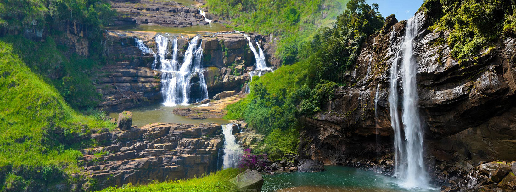
Bambarakanda Falls


Bambarakanda waterfall is the tallest waterfall in Sri Lanka with a sheer drop of a 263 meters. In the world ranking its the 299th tallest waterfall in the world. The fall lies in the Badulla district in the central highlands of the country and is a popular tourist attraction and a natural wonder of Sri Lanka.
Bambarakanda is a popular spot for photography, and visitors can capture stunning photos of the waterfall and the surrounding landscape. The best time to visit the waterfall is during the monsoon season, from May to September, when the water flow is at its peak and the surrounding landscape is at its greenest.
This is not a wide waterfall but drops as a thin line from a rocky outcrop. The fall is formed by the Uduweriya Haputale mountain and Kuda Oya, a tributary of Walawe River.
To each the waterfall, you need to travel along the Balangoda – Badulla Route ( A4 ) to Kalupahana town. This small town lies between belihul Oya and Beragala. The turn off to wards the falls is identified by a small sign board. Travel along this curvy road for about 3.5 kms where you will come to place that the fall is directly visible to your left (see map bellow). This road is very narrow, washed away and full of pot holes. A four wheel drive is recommended though a van with a high ground clearance could get there. The base of the fall is few hundred meters from the road, and no clear path is available to reach there.


-
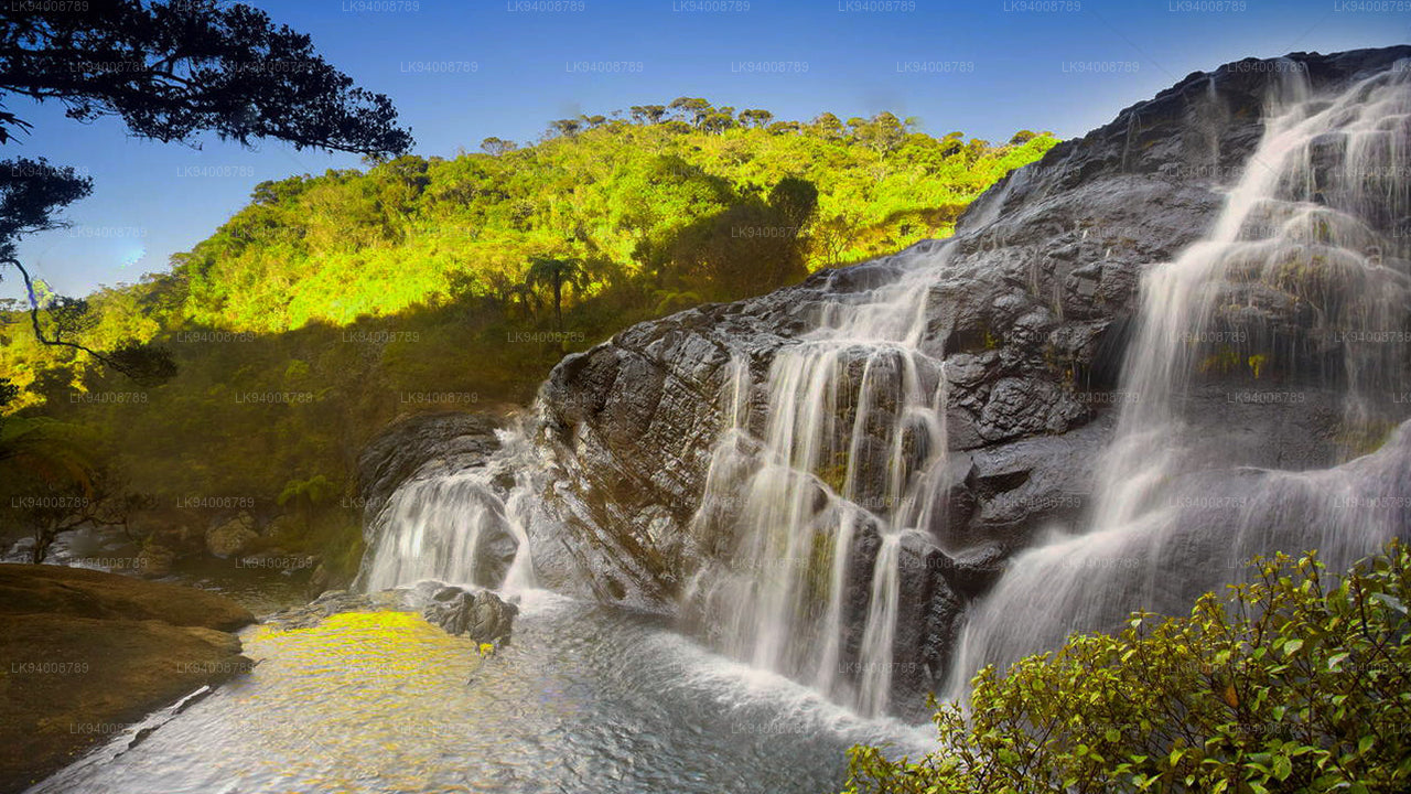 Bakers Falls
The Baker’s Falls in the Horton Plains gets its water from the Belihul Oya. It is close to World’s End.
-
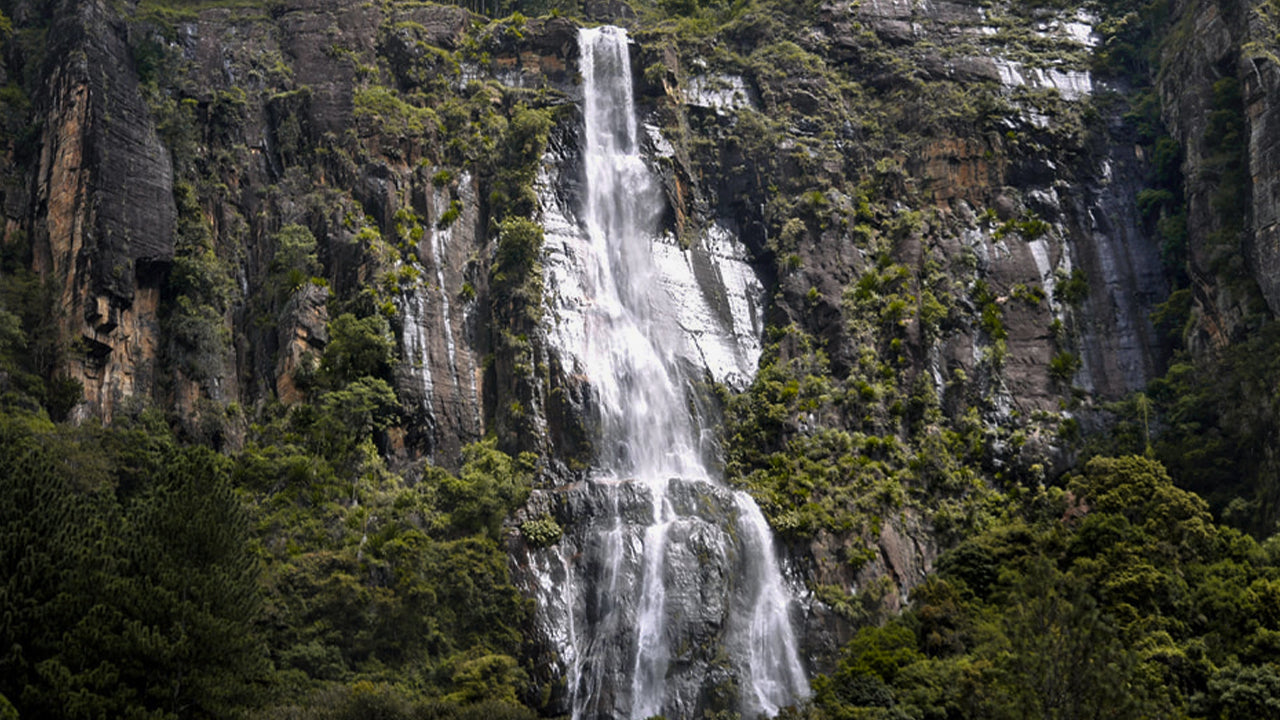 Bambarakanda Ella
The tallest is the Bambarakande Falls which cascades down 263 meters like liquid light. It is only four miles away from the Colombo-Bandarawela road.
-
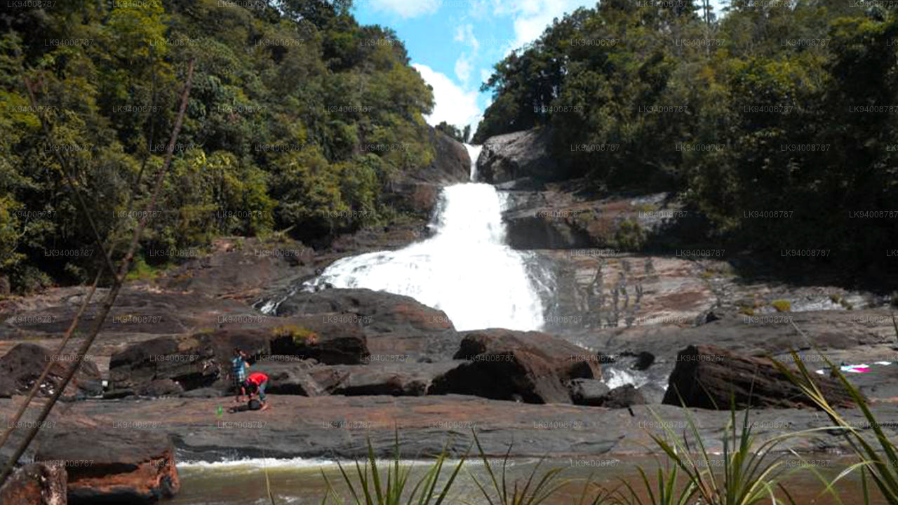 Bopath Ella
“Bopath Ella”, not like many of the others of her kind, finds her abode in a busy surrounding in the village called Devipahala off Kuruwita on A4 High-Level road close to Ratnapura.
-
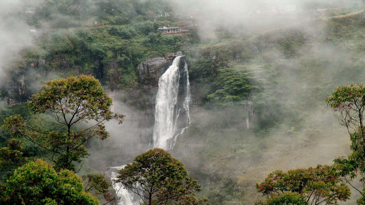 Devon Falls
With a peculiar appearance imparted to it by its formation in three continuous cascades this waterfall christened “Devon Falls” pours down to the valley beneath not a long distance away from its brother the “St. Clairs”.
-
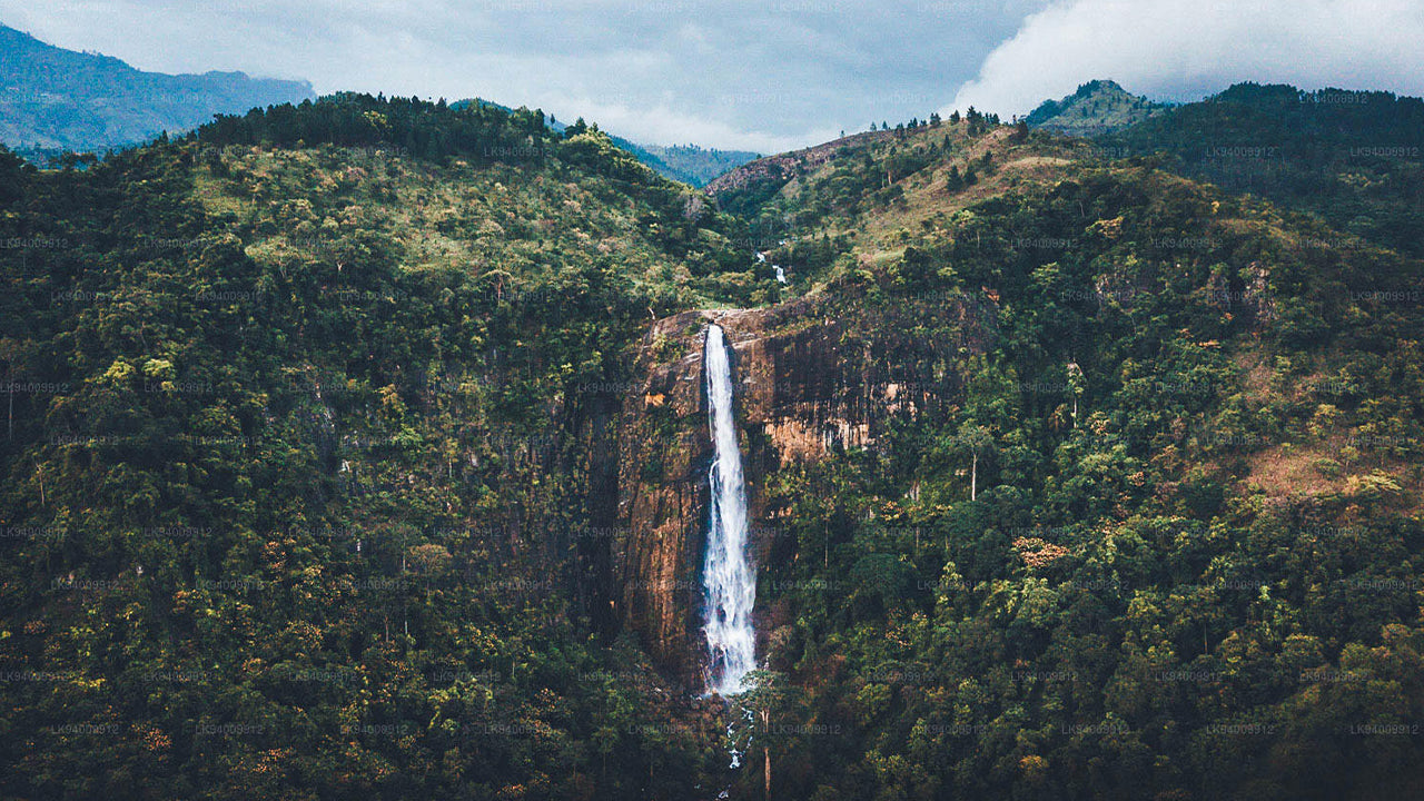 Diyaluma Falls
At the peak of Diyaluma Falls in Sri Lanka, you will find a serene natural infinity pool overlooking a 772-foot (220-metre) waterfall. Located near the town of Koslanda in the Badulla District.
-
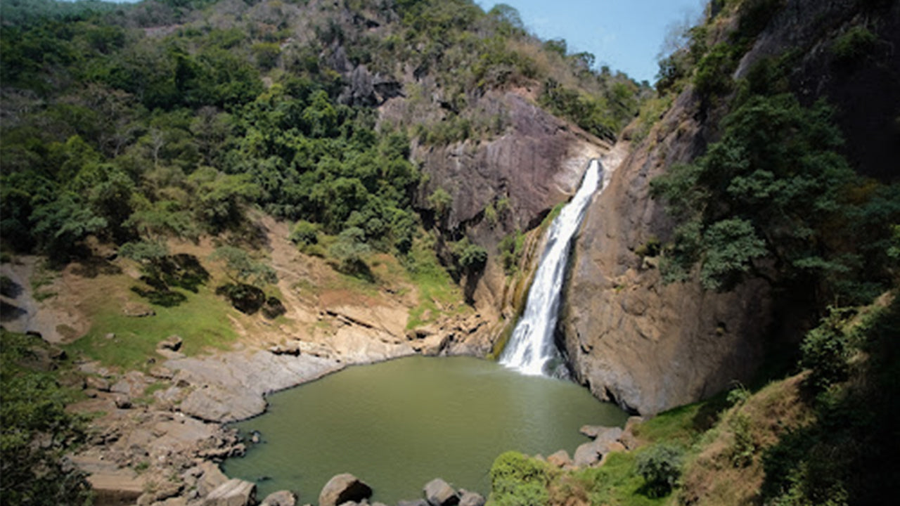 Dunhinda Falls
“Dunhinda” is one of the most spoken-about waterfalls in Sri Lanka. Although she couldn’t come even close to the highest waterfalls of the planet in height she rivals many of them when it comes to the natural beauty that it bestows on the environment.
-
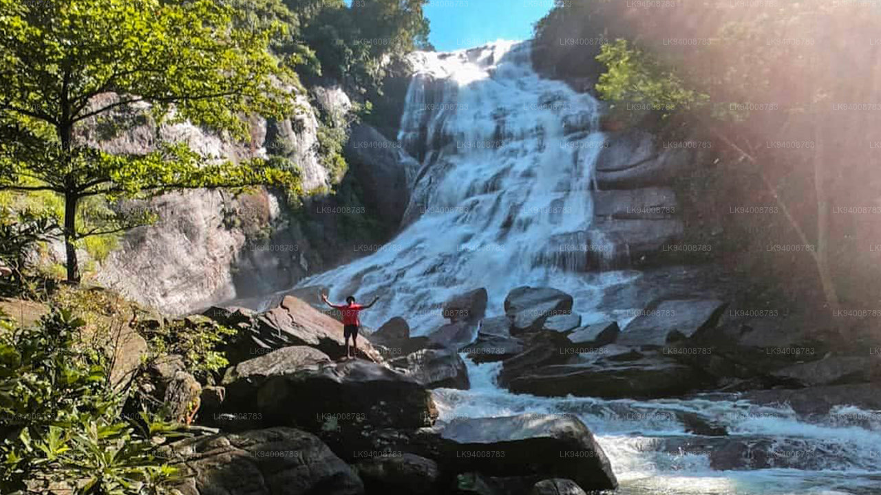 Kirindi Ella
Kirindi Ella is a waterfall in the southern foothills of Sri Lanka’s central highlands, in only 6.5 km distance from the main junction in Pelmadulla.
-
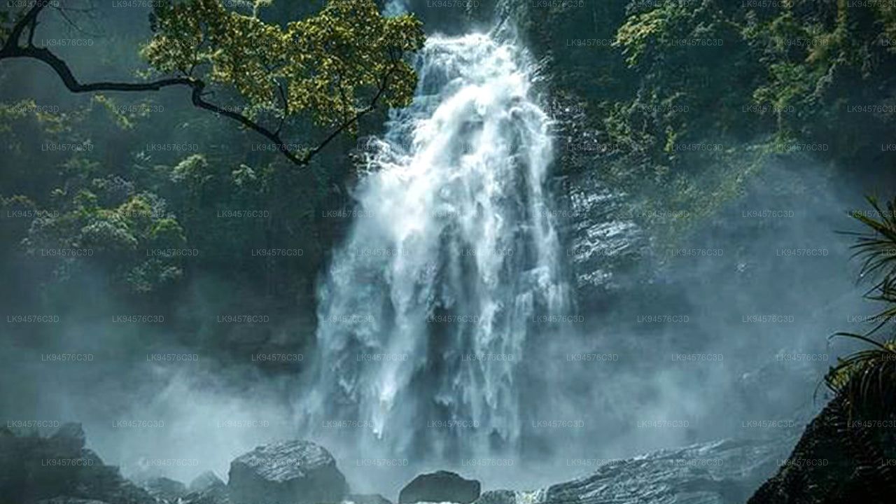 Mapanana Ella
The Mapalana waterfall lies in the remote hamlet of Mapalana on the shadows of theSri Padamountain range. Mapalana can be reached by foot from Palabaddala.
-
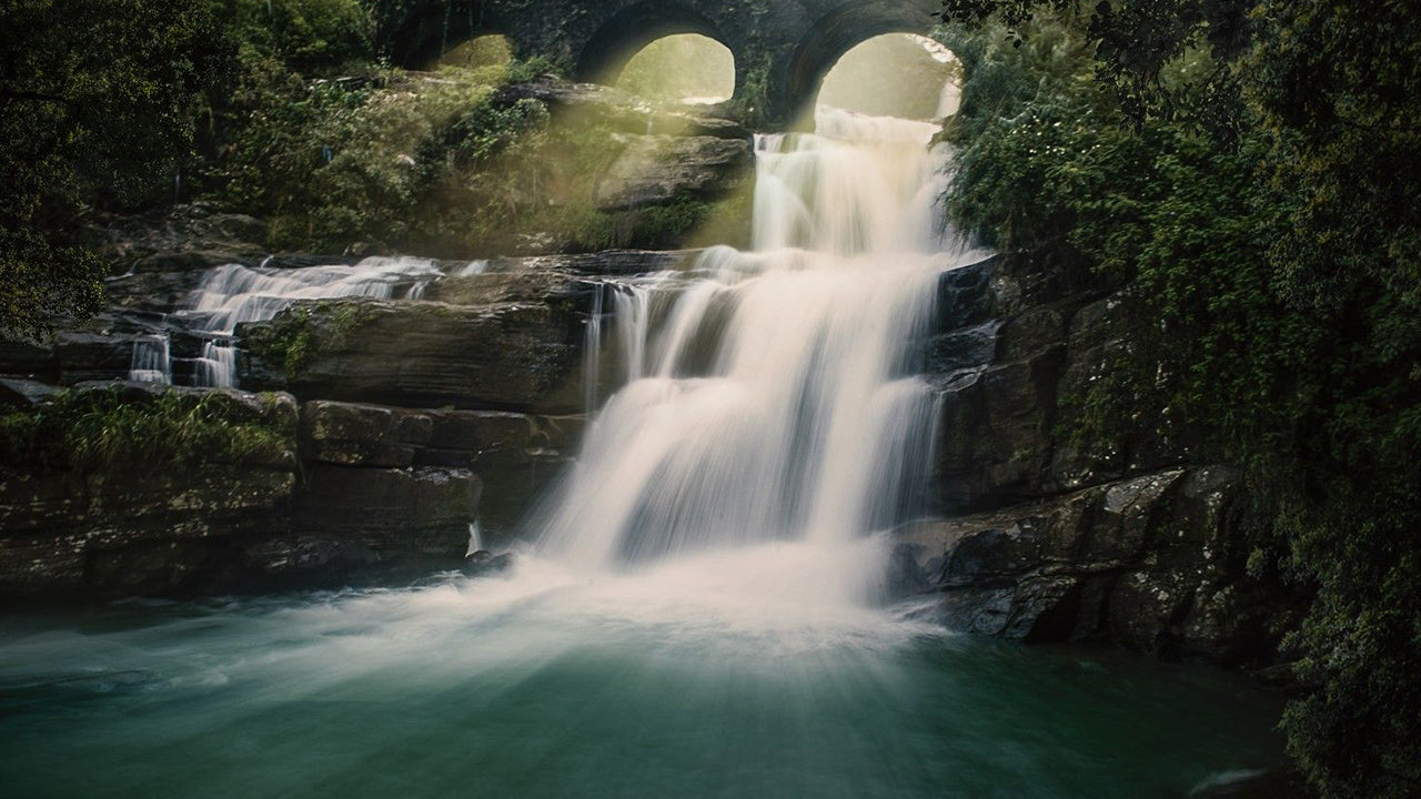 Olu Ella
Olu Ella is situated in Yatiyantota town of Kegalle district. It stands at a height of 127 meters and is the 6th tallest waterfall of Sri Lanka.
-
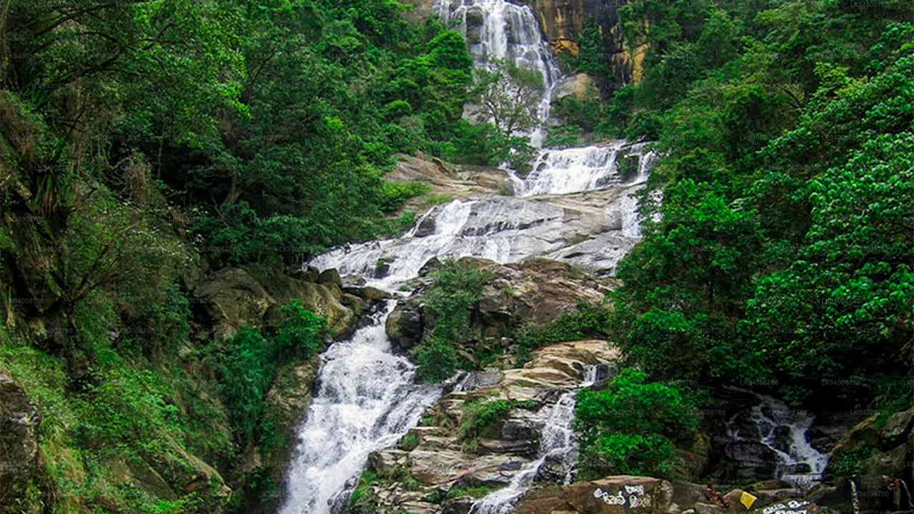 Rawana Ella
In the misty mountains of tropical Sri Lanka, the wide Ravana falls gushes down a height of 82 feet falling from an oval concave rock.
-
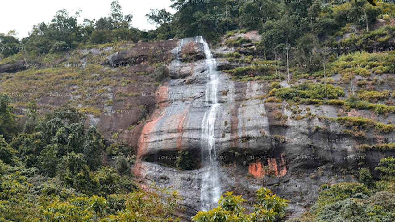 Rikilla Ella
Bulathkohupitiya is a small town hidden among the mountains of the hill country. From there, on the way to Dedugala can be seen this waterfall in a very serene landscape.
-
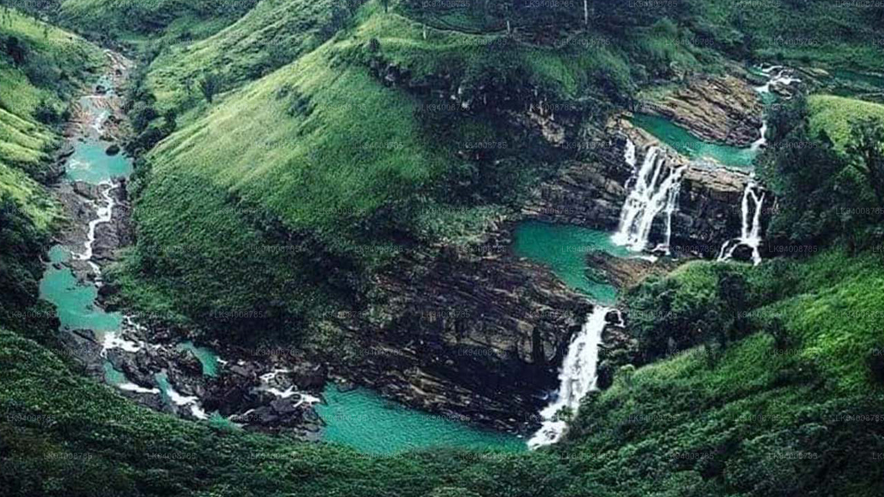 St Clair's Falls
These majestic “St.Clairs” falls are close to the main road from Avissawella to Nuwara-Eliya and can well be seen from the Main Line rail track close to Talawakelle.
-
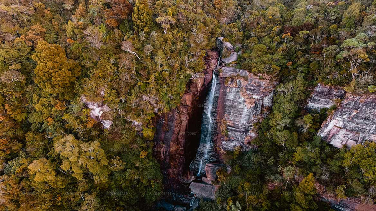 Lovers Leap Fall
The 100 feet high Lovers Leap begins its journey as a fountain at the Southern slope of Sri Lanka`s highest mountain Pidurutalagala. The falls can be seen from the town Nuwara Eliya.
-
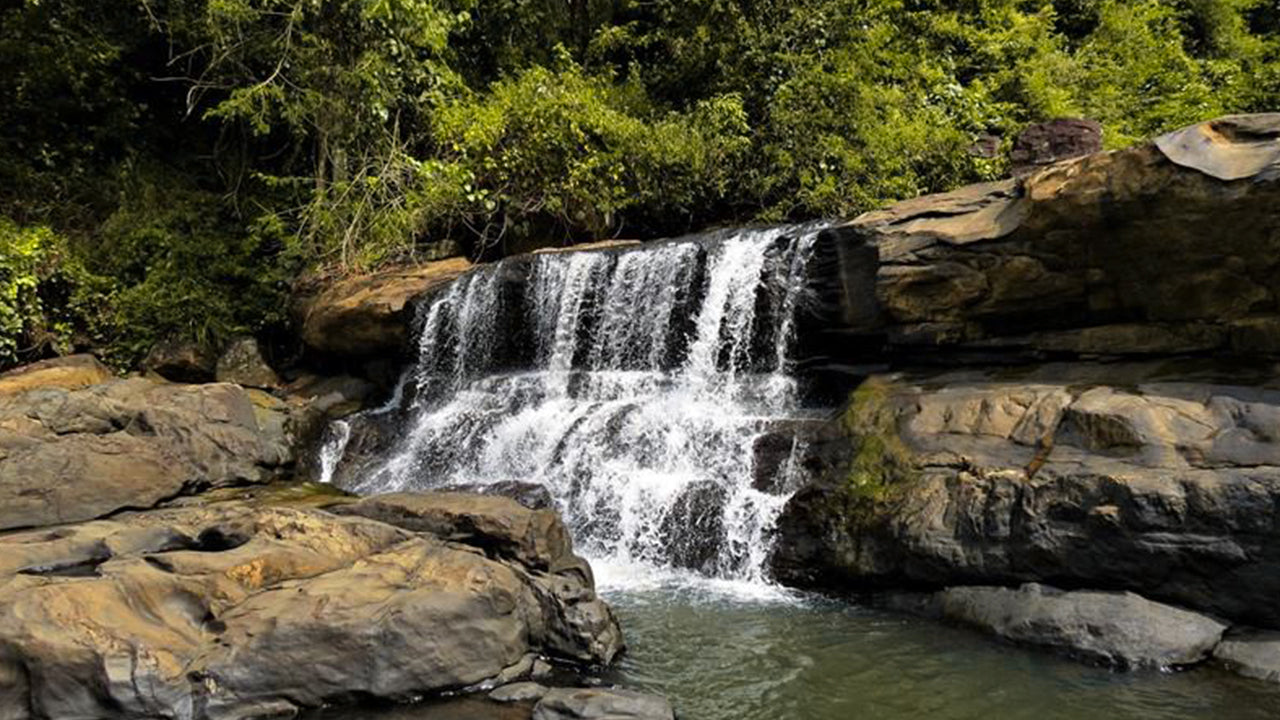 Galagediyana Ella
This waterfall is very close to Colombo can be reached off Dedigama where the famous Kotavehera Dagaba.
-
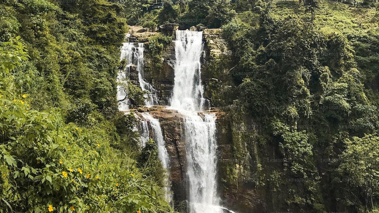 Ramboda Falls
A gigantic waterfall having three parts and very close to the 53km post along the above A-5 trunk road.
-
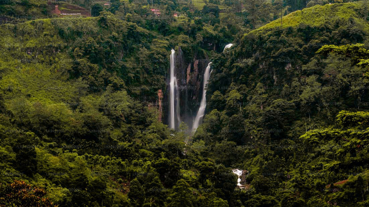 Poona Ella Falls
Poona Ella Falls or Ramboda Ella Falls height is 109 m (358 ft), and two waterfalls are starting from two destinations merge into one at the bottom.
-
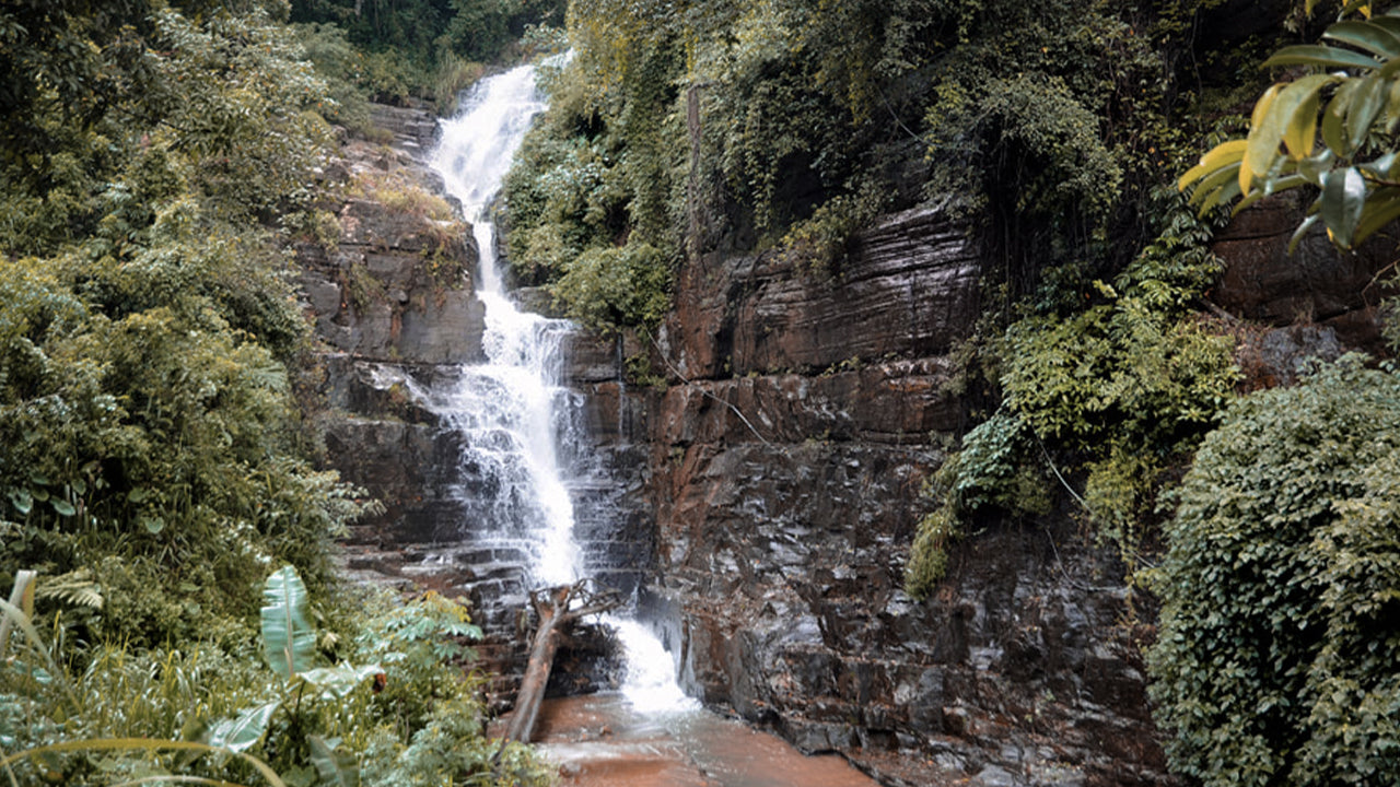 Hellboda Ella Falls (Ramboda)
This is by the side of A-5 trunk route Kandy to Nuwara Eliya east of Pussellawa.
-
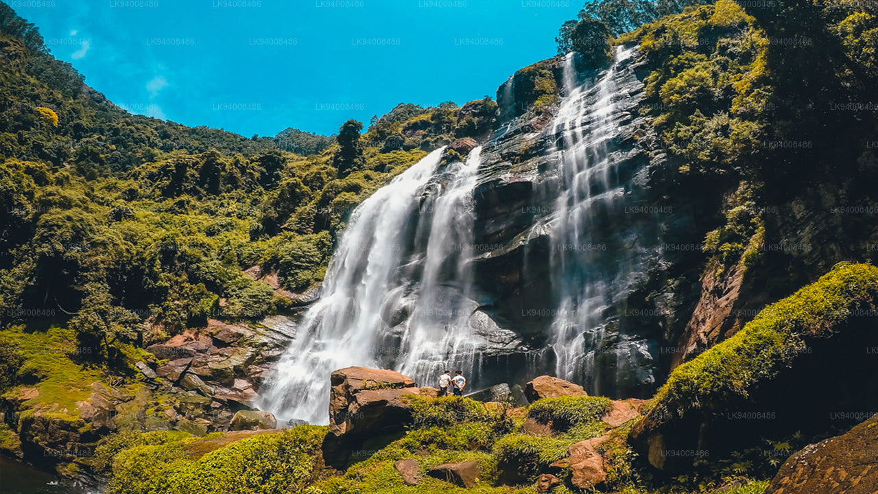 Bomburu Ella Waterfall
Pair text with an image to focus on your chosen product, collection, or blog post. Add details on availability, style, or even provide a review.
-
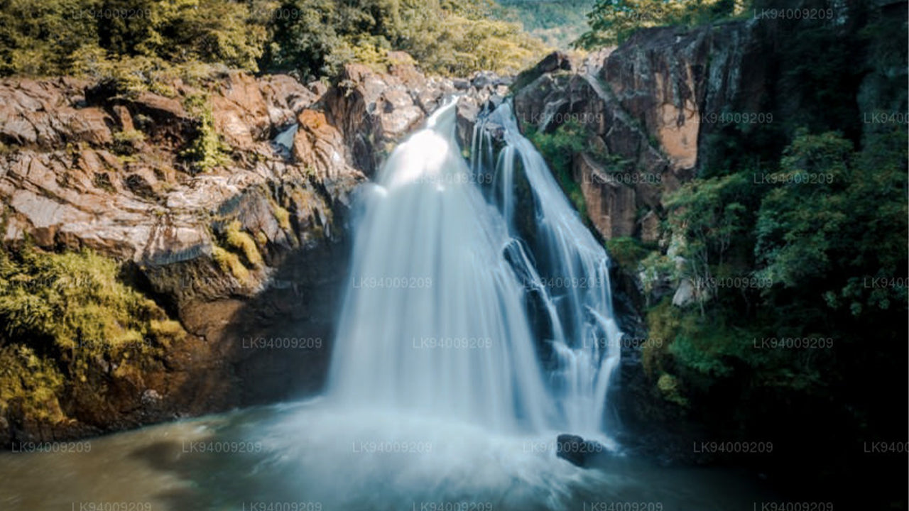 Dhuwili Waterfalls
Dhuwili Ella of Balangoda Sri Lanka is a very high and a beautiful waterfall in Sri Lanka. Dhuwili Ella is at Kalthota which is Hambegambuwa road of Balangoda.
-
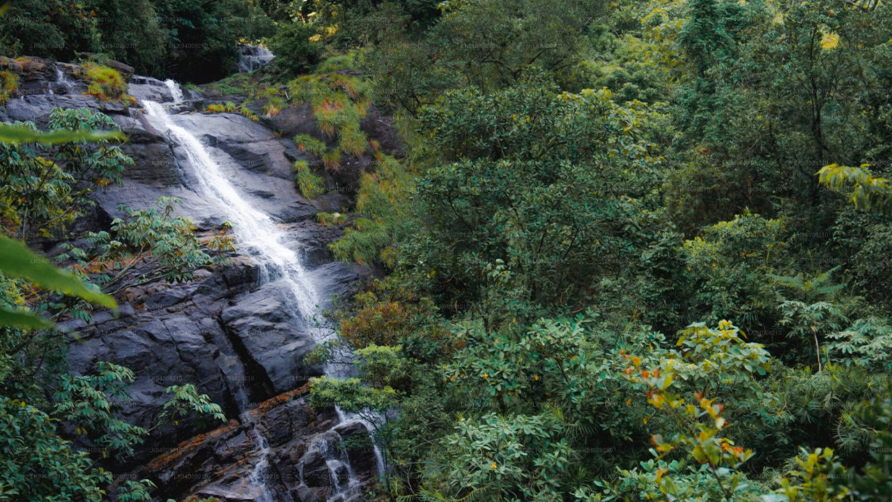 Kotaganga Ella Falls
The Kota Ganga Ella Falls (Kota Ganga Ella) is a cluster of cascading waterfalls in the Knuckles Mountain Range in the Kandy District. The cluster consists of at least 7 major segments.
-
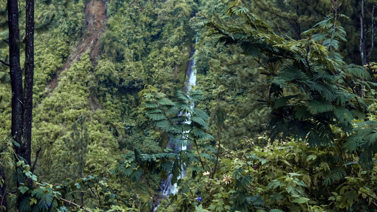 Wedamulla falls
This waterfall is 30 meters high and flows fast over a rock wall and falls into the Kotmale Reservoir. Palagolla Falls is located near the village of Wedamulla in the Palagolla area.
-
 Galboda Falls
Galboda Falls (ගල්බොඩ ඇල්ල) is a waterfall in Sri Lanka. It is located by Nuwara Eliya District. Galboda is an isolated village located in between Nawalapitiya and Watawala, in the Colombo-Badulla, the upcountry railway.
-
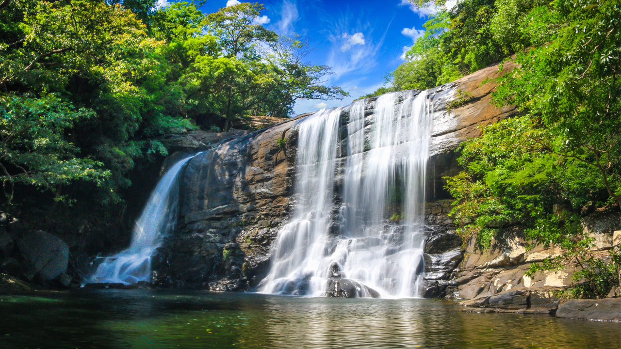 Sera Ella Falls
Sera Ella (Sinhala:සේර ඇල්ල) is a waterfall located in Pothatawela village, a place near Laggala in the Matale District of Sri Lanka. It is formed by the waters of Kitul Canal which runs down Kaudagammana peak and the Hunumadala River
-
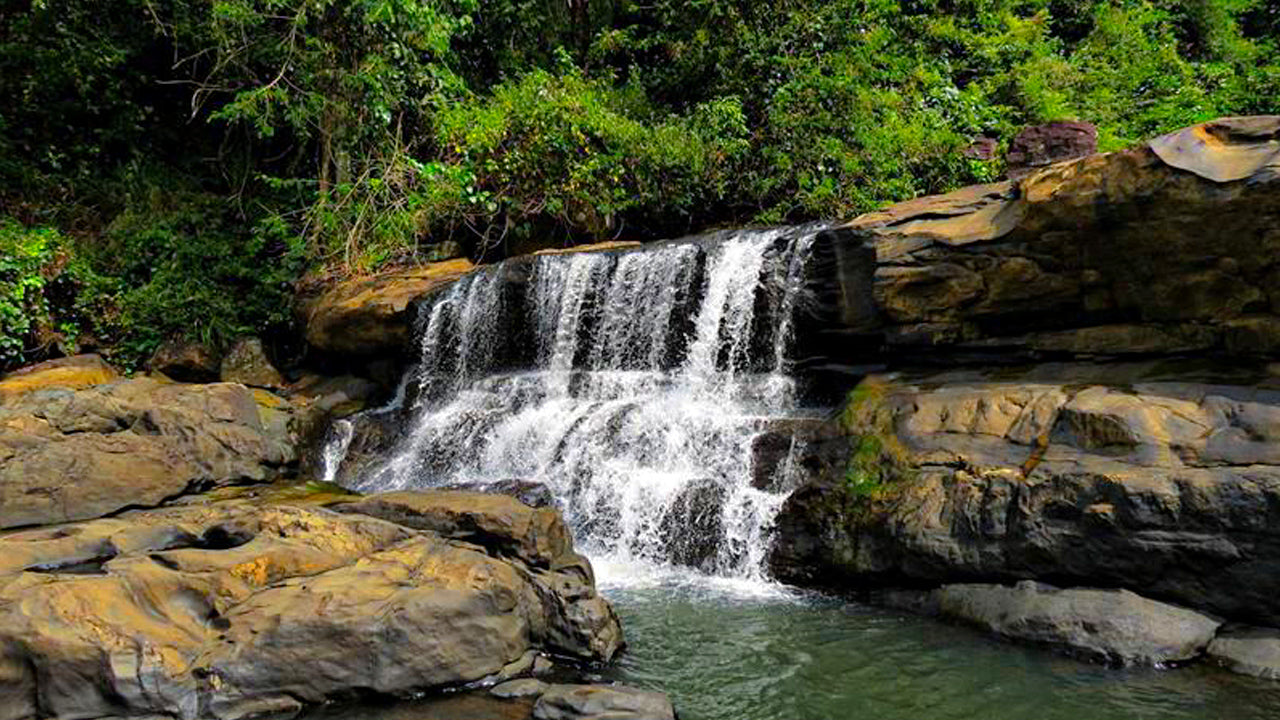 Galgediyana Ella Falls
The Galgediyana EllaWaterfall, in Gurugoda Oya (river), is mere 5m high but 50m wide. Located in the Kegalle District, if approaching from Morontota town, continue for 3km – the fall lies between Parambe and the Hunugal Estates.
-
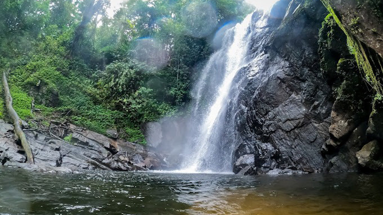 Lankagama Duwili Ella Falls
Kekuna Ella is a peaceful hidden waterfall in Kegalle, surrounded by forest, offering scenic views, a refreshing atmosphere, and a quiet nature experience with gentle trekking access.
-
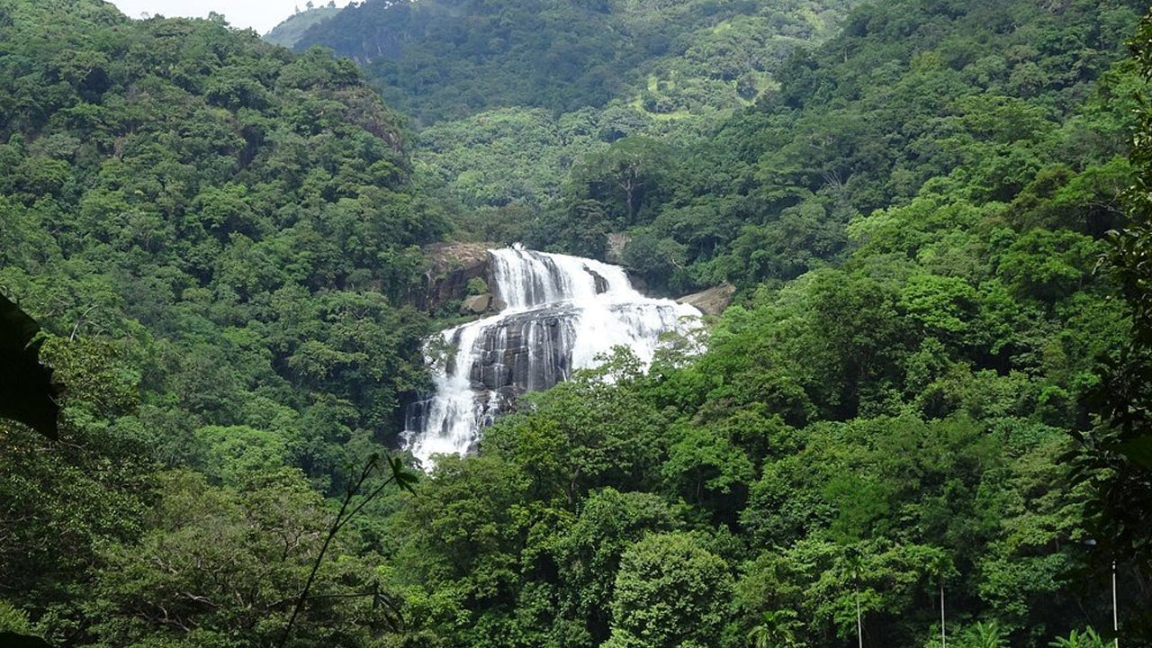 Rathna Ella Falls
Rathna Ella Falls, in Hasalaka, is one of Sri Lanka’s tallest waterfalls at 101 meters. Surrounded by lush forest, it supports local farming and offers a scenic trekking experience.
-
 Kekuna ella
Kekuna Ella is a peaceful hidden waterfall in Kegalle, surrounded by forest, offering scenic views, a refreshing atmosphere, and a quiet nature experience.
