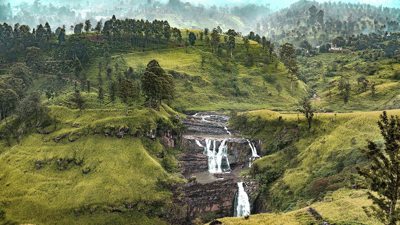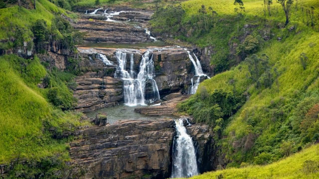
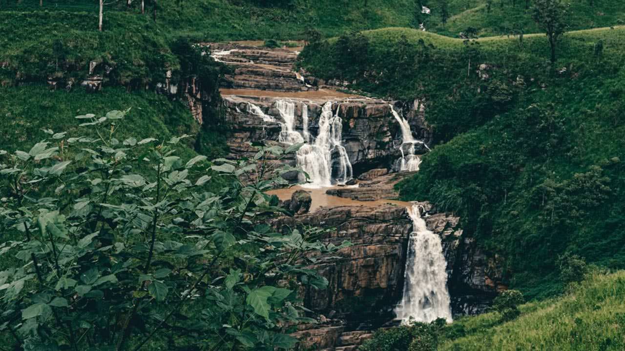
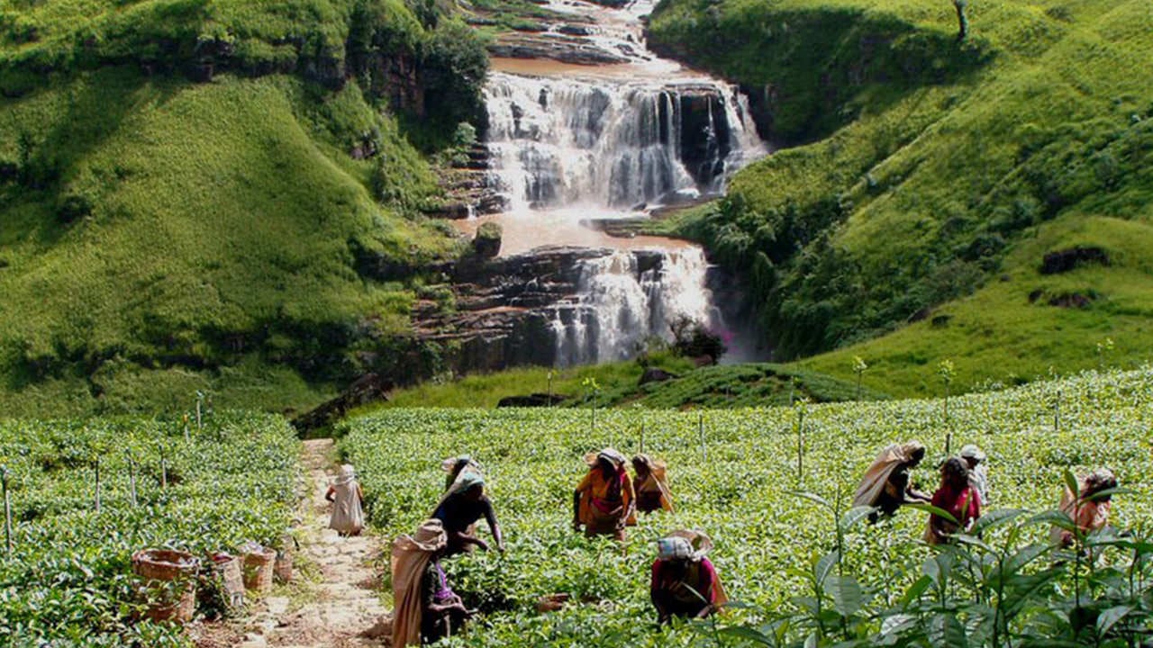
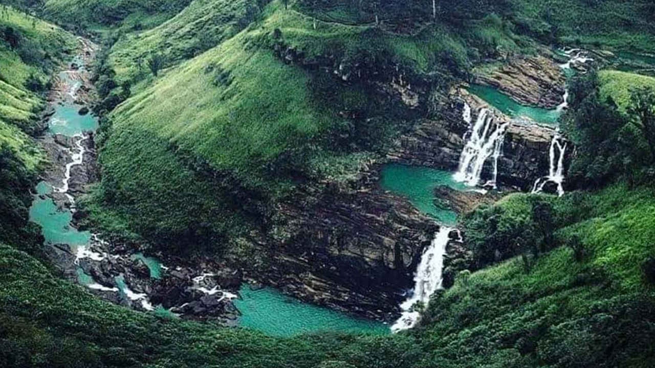
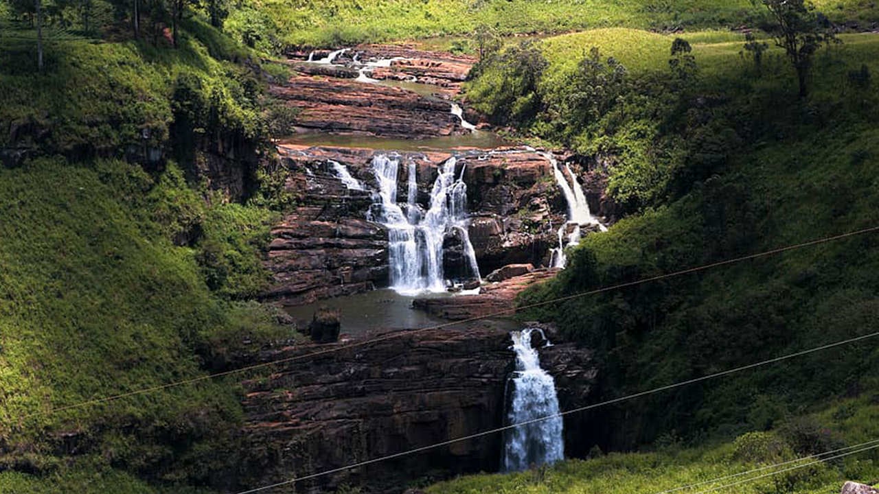
St. Clair's Falls stands among the most photographed waterfalls in Sri Lanka, dropping in two distinct stages through the heart of the country's tea country. Located on the Kotmale River near Talawakele in the Central Province, the falls split into Maha Ella (the greater falls) and Kuda Ella (the smaller falls), each carving a white curtain of water down the escarpment before merging below. The local nickname — the "Little Niagara of Sri Lanka" — overstates the scale but captures the drama of watching a wide, powerful river suddenly disappear over a cliff into rolling green hills.
What makes St. Clair's Falls worth a visit?
Few waterfalls in Sri Lanka are this accessible. The falls are clearly visible from the A7 highway connecting Talawakele and Hatton, so even travellers passing through on their way to Nuwara Eliya or Adam's Peak get a natural viewing point without leaving the road. The surrounding landscape amplifies the spectacle: terraced Ceylon tea estates cover every hillside, and the combination of emerald plantations, mist, and cascading water makes this one of the more photogenic spots in the highlands.
For those who want more than a roadside glimpse, short informal trails lead down toward the base of Maha Ella. The path is steep in places and can be slippery after rain, so solid footwear is advisable. Once at the base, the volume of water — even in drier months — creates a fine mist that lowers the temperature noticeably, a welcome relief after a long drive through the hills.
When is the best time to visit St. Clair's Falls?
The falls are most dramatic between May and August, when the south-west monsoon feeds the Kotmale River and the water flow is at its peak. A second swell occurs during the north-east monsoon from roughly October through December. Outside these windows — particularly February, March, and early April — the volume can drop significantly, partly because river water is diverted upstream for the Kotmale hydroelectric project. The falls never run completely dry, but visiting during a dry spell means seeing a fraction of their potential.
Early morning visits reward patience: mist lingers in the valley, the light is soft, and the road is quiet. By mid-morning, tour buses and passing vehicles tend to crowd the roadside viewpoints.
How do I get to St. Clair's Falls from Colombo?
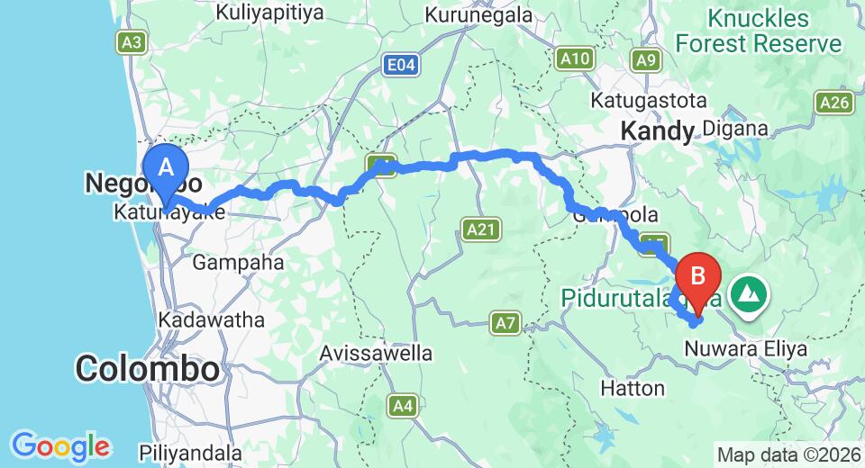
Talawakele is roughly 155 km east of Colombo along the A7. By private car or taxi the drive typically takes around three to three and a half hours depending on traffic through Kandy and Gampola. The falls sit on the roadside between the Talawakele and Hatton junctions, so they are impossible to miss if you are watching the left-hand side of the highway heading east.
Travelling by train is a scenic alternative. The Colombo–Badulla line passes through Talawakele station, and the hill-country rail journey through the Kandy and Hatton stretch is widely regarded as one of the most atmospheric train rides in Asia. From Talawakele station, the falls are a short tuk-tuk ride away.
What else can I see near St. Clair's Falls?
The Talawakele area sits roughly midway along a natural highland route that connects several of Sri Lanka's most rewarding landscapes. Key stops within easy reach include:
- Nuwara Eliya — around 30 km east, Sri Lanka's hill-country town known for its colonial architecture and cool climate.
- Adam's Peak (Sri Pada) — approximately 35 km south-west, a sacred pilgrimage mountain and popular dawn climb.
- Horton Plains National Park — roughly 40 km east, home to World's End, a sheer escarpment with views dropping over 800 m.
- Ella — around 60 km south-east, a compact highland town with hiking trails and the famous Nine Arch Bridge.
- Bluefield Tea Gardens — a working tea estate near Hatton that offers factory tours and tasting sessions.
- Ramboda Falls — roughly 20 km east, another major waterfall on the same highland route, taller than St. Clair's though narrower.
Can I hike to the base of St. Clair's Falls?
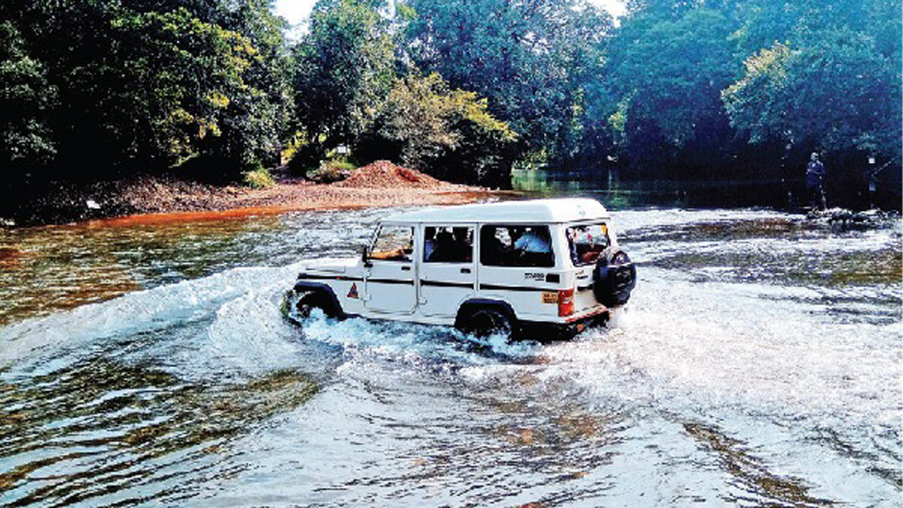
There is no formal, maintained trail managed by a government authority, but an informal footpath runs from the roadside down to the base of Maha Ella. The descent takes around 15 to 20 minutes. The path crosses private tea-estate land, so it is courteous to ask permission locally if you are uncertain about access. The terrain is uneven and can become muddy after rain; trekking sandals or sturdy shoes are essential. Swimming at the base is possible in calmer conditions, but the current near the base of the main falls can be stronger than it looks — exercise caution.
Is St. Clair's Falls suitable for photography?
The falls draw landscape and nature photographers specifically because of the wide framing available from the road — you can capture both Maha Ella and Kuda Ella in a single composition along with the tea-estate backdrop. A polarising filter helps cut the mist haze and saturate the greens during peak flow. The best light for photography falls in the hour after sunrise and the hour before sunset, when the low angle catches the spray. Drone photography above the falls requires Civil Aviation Authority of Sri Lanka permits and is subject to restricted zones in some highland areas — check regulations before flying.
What impact has the hydroelectric project had on the falls?
The Kotmale Hydroelectric Power Station, commissioned in the 1980s, diverts a portion of the Kotmale River's water before it reaches the falls. During dry-season months this can noticeably reduce the volume of both Maha Ella and Kuda Ella. Environmental advocates have raised concerns about the cumulative effect on the natural flow and the visual character of the site. The situation is worth factoring into your travel timing — visiting during or just after a monsoon period gives the most reliable chance of seeing the falls at full force.
Tips for visiting St. Clair's Falls
- Wear layers — the highland air at around 1,000 m elevation can feel cool even when Colombo is hot.
- The roadside parking area is informal and can fill quickly in high season; arriving before 9 am is advisable.
- Carry water and snacks — the immediate roadside has limited food options beyond a few vendors.
- If you are hiring a driver for the day, the Talawakele–Nuwara Eliya stretch pairs naturally with a stop at the falls, Ramboda Falls, and a tea factory visit.
- Respect the estate land surrounding the falls — litter is a persistent problem and the tea-growing community depends on a clean environment.