ナックルズ山脈


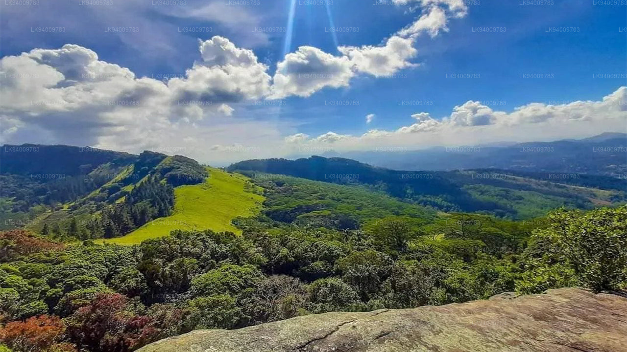
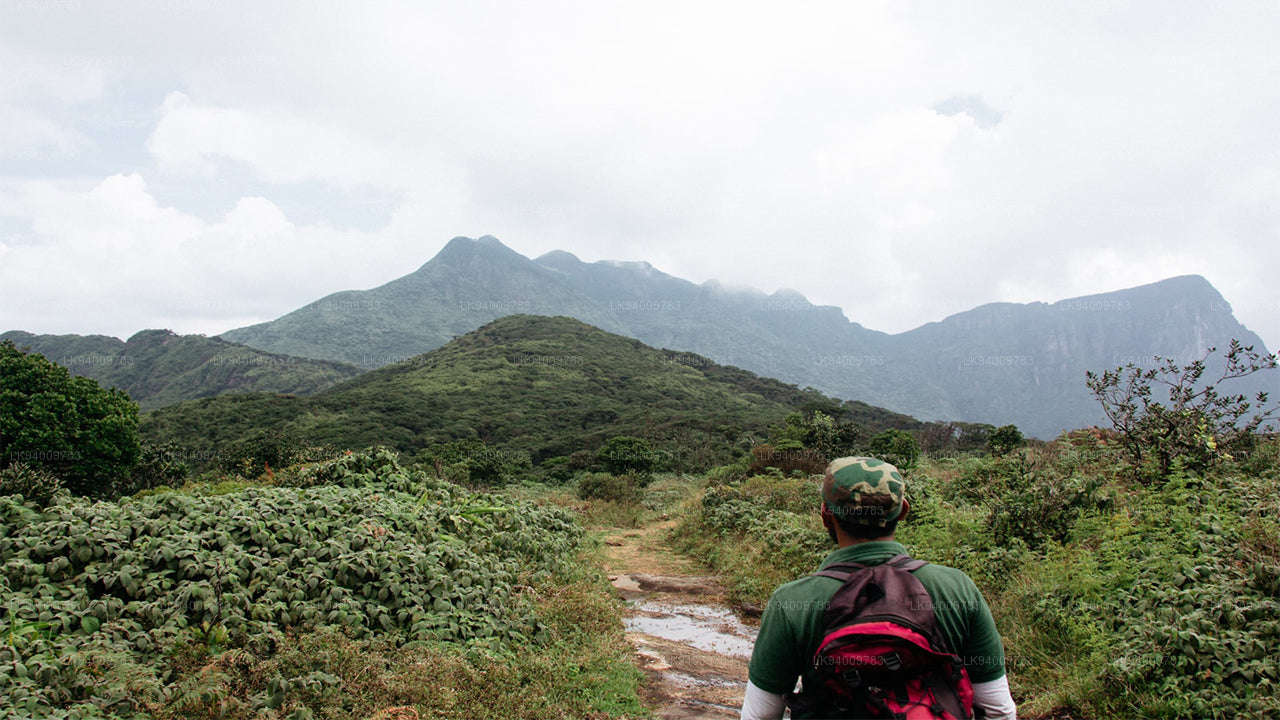
ナックルズ山脈(別名ダンバラ山脈)は、スリランカの中央高地の北端にある キャンディ の近くに位置しています。山脈の南と東には マハウェリ川 の流域があり、西には マタレ の平野があります。
ナックルズ山脈へのアクセス
ハイキングの人気ルートは、キャンディから東へ向かうA26号線を走り、ハンナスギリヤまで行きます。ハンナスギリヤからはB級の道がコーベットズ・ギャップへと続き、ここからナックルズ山脈の素晴らしい景色が広がります。コーベットズ・ギャップからは、ミームレ村へ向かう道も、十分な地上高を持つ車で移動できます。
ハイカーには他にも二つのアクセス方法があります。マタレからラトト経由で リバーストンを通り、またはワッテガマからパンウィラを通って行けます。ナックルズ山脈(ダンバラ山脈)の険しい山々は、その形状が握り拳のひとつの「こぶ」に似ていることから、英国人によって「ナックルズ山脈」と名付けられました。この急な山岳地帯は、ナックルズの主要な峰の頂上である1863mに達し(スリランカで6番目に高い山)、珍しいドワーフ雲霧林が広がっています。
ナックルズ山脈でのトレッキング
ナックルズ山脈は、スリランカの最も美しい自然の 観光地の一つです。草原、険しい山の頂、そして小川と滝が交互に現れる変化に富んだ地形は、ナックルズ山脈を、広さ18,512ヘクタールのトレッキング天国にしています。
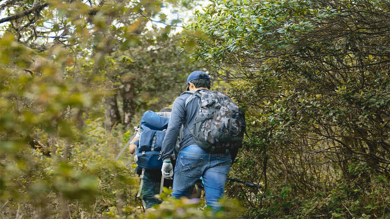
ナックルズ山脈は、世界遺産の保護地域であり、興味深いトレッキングの機会を提供しています。多くの自然の美しさと生物多様性が残る未開の地でもあり、真剣なハイカーや生物多様性愛好者は、ガイド付きで40キロ以上の3日間のハイキングを行うこともあります。
人気の ハイキング トレイルは、ディーンストンからのミニ・ワールド・エンド、ディーンストンからのドサルガラへのトレイル、コーベットズ・ギャップからのニトロ洞窟へのトレイル、コーベットズ・ギャップからタンガプワ経由のアウガレナ洞窟へのトレイル、そしてミームレ村からのカルパハナへのトレイルです。
ナックルズ山脈のミニ・ワールド・エンド
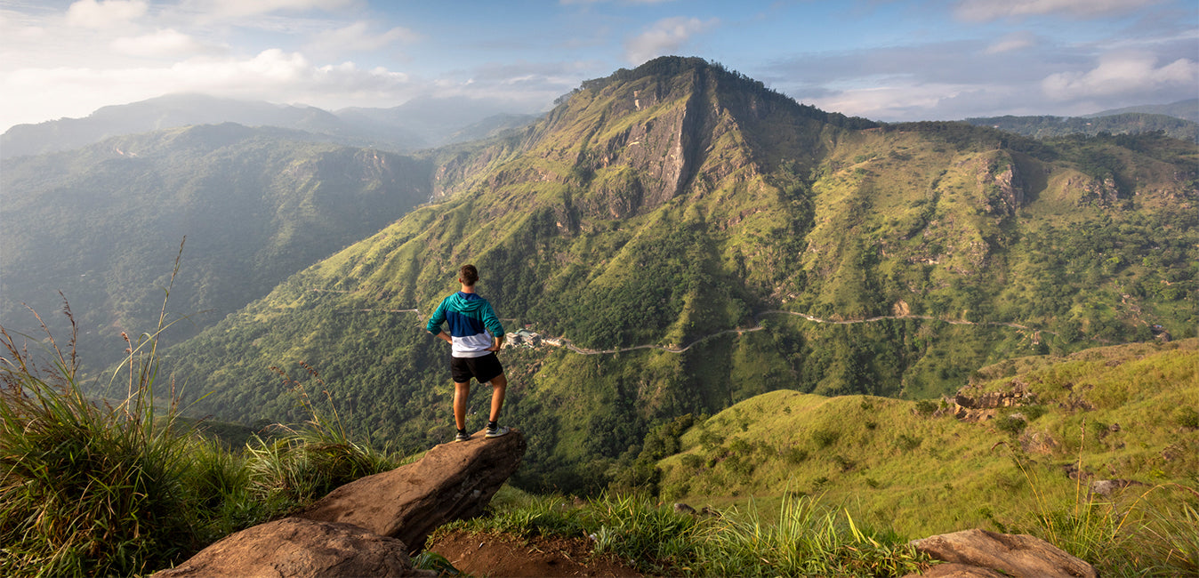
ミニ・ワールド・エンド(1192m)は、ナックルズ山脈の南端に位置する絶壁で、素晴らしい観察地点です。ここからは、ナックルズ山脈とその山麓に位置する村々のパノラマビューが望めます。ナックルズ保護センター(KCC)-ディーンストンから始まる1.1kmのトレイルは、1時間以内で完了できます。
ナックルズ山脈の山々
ナックルズ山脈には900メートルから1900メートルの高さの34の峰があります。山脈の中で5つの高い山は握り拳に似ているため、スリランカのセイロン時代に英国人によってナックルズ山脈と名付けられました。
天気と季節
ナックルズ山脈の天気は予測できず、数分で急変することがあります。濃い霧が数分で山を覆うこともあり、雨はいつでも降る可能性があります。
12月から2月はナックルズでのトレッキングに最適な時期で、適度な雨の可能性があります。3月から5月もトレッキングに良い時期で、雨の確率が低いです。6月から9月は雨が最も少なく、トレッキングには最適なチャンスです。9月から11月は、雨が多いためトレッキングにはあまり好まれません。
ナックルズ山脈の気候
ナックルズ山脈の平均降水量は3000〜5000mmで、気温は5.5度から35度の間です。南西モンスーンは山脈の隙間から雨をもたらします。平均風速は約7.2km/hで、湿度は57%から90%の間です。
ミームレ、カイカワラ、ガラムドゥナはナックルズ山脈周辺の伝統的な村の一部です。この地域には37の古い村があり、住民は米作り、チェナ農法(焼畑農業)、カルダモンの栽培に依存しています。農作物の輸送は、タワラマという荷牛によって行われます。ミームレは伝統的な村で、電気が届いたのは2008年になってからです。
ナックルズ山脈の生物多様性
ナックルズ山脈は、野生のイノシシ、斑点鹿、巨大なリス、イヌシカ、紫顔のリーフモンキー、マングース、ヤマアラシなどの哺乳類の家です。
ナックルズ山脈には、ナックルズにのみ生息するクリストレス・リザード(Calotes
-
 Pidurutalagala
Pidurutalagala or Mount Pedro in English, is an ultra prominent peak, and the tallest mountain in Sri Lanka, at 2,524 m (8,281 ft). Mount Pedro is located close to the city of Nuwara Eliya, and is easily visible from most areas of the Central Province. It is situated North-North-East from the town of Nuwara Eliya.
-
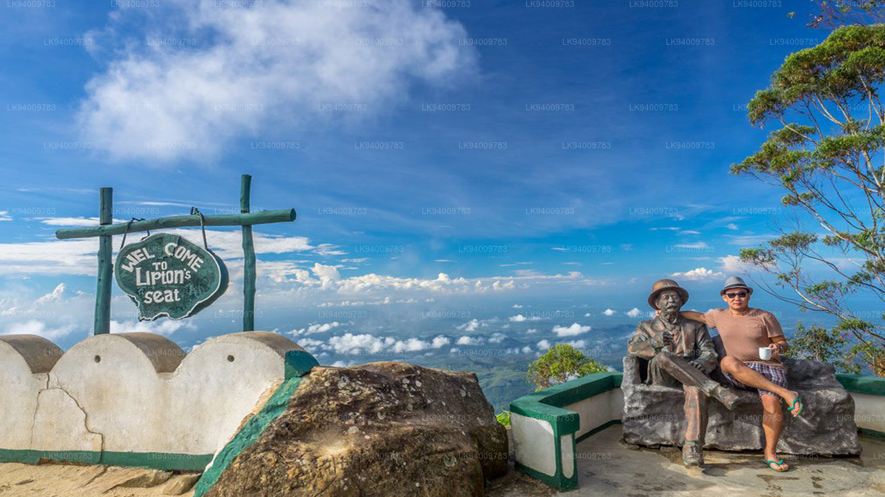 Lipton's Seat
Lipton’s Seat is a high observation point in the hills of Poonagala. Located on the top of the town’s namesake, Poonagala Hill, it is also near the Dambatenne Tea Factory. Lipton’s Seat is so named because the famed Scottish baron and tea planter Sir Thomas Lipton used it as the seat to survey his empire in a time long gone but not forgotten.
-
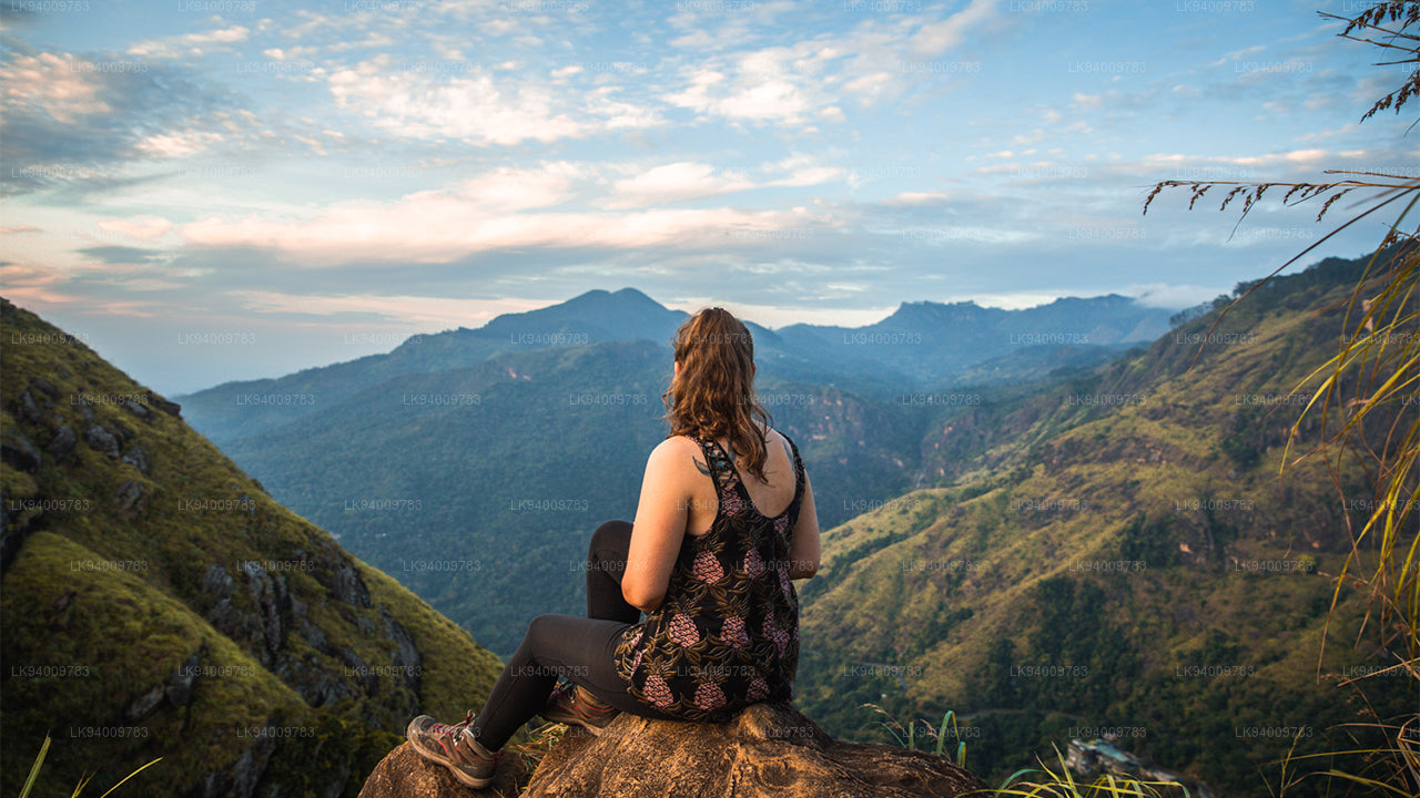 Little Adam’s Peak
Don’t defiance the beautiful tourism site in Sri Lanka, Little Adams Peak whether considering the word ‘Little’, it is named after the sacred Adams Peak (Sri Pada –where the foot print of Lord Buddha is preserved) regarding the similarity between the two mountains.
-
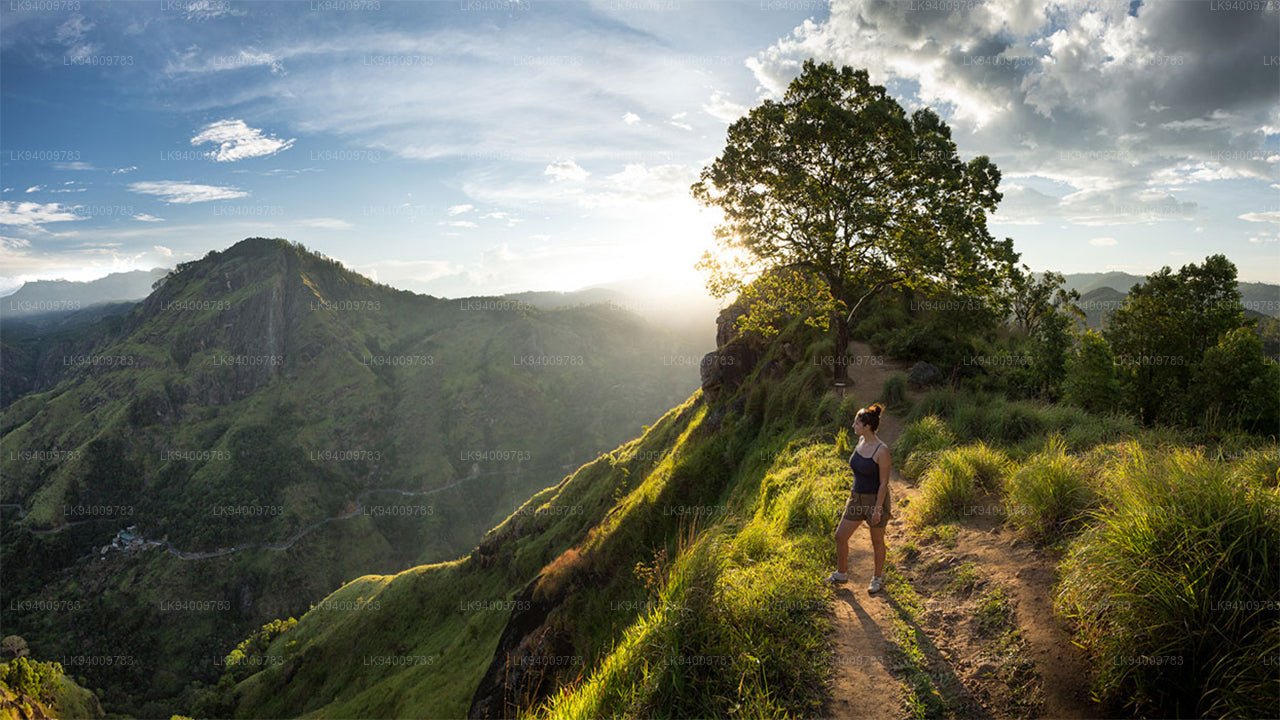 Ritigala
Ritigala can be reached from the turn-off from Habarana-Anuradhapura Road at a distance of 12 km from Habarana. Another 5 km along a graveled yet motorable road leads to the foot of the mountain.
-
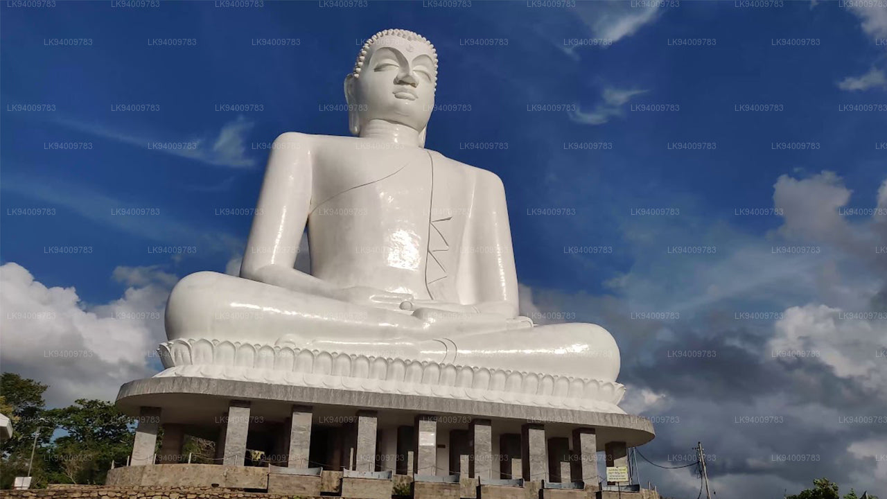 Ethagala (Elephnat Rock)
Ethagala (the Elephant Rock) is one of seven rocks that overlook the town of Kurunegala, in Sri Lanka. The rock face reaches 316 metres (1,037 ft) over the town and in its shape resembles a crouching elephant, which explains the rock’s name.
-
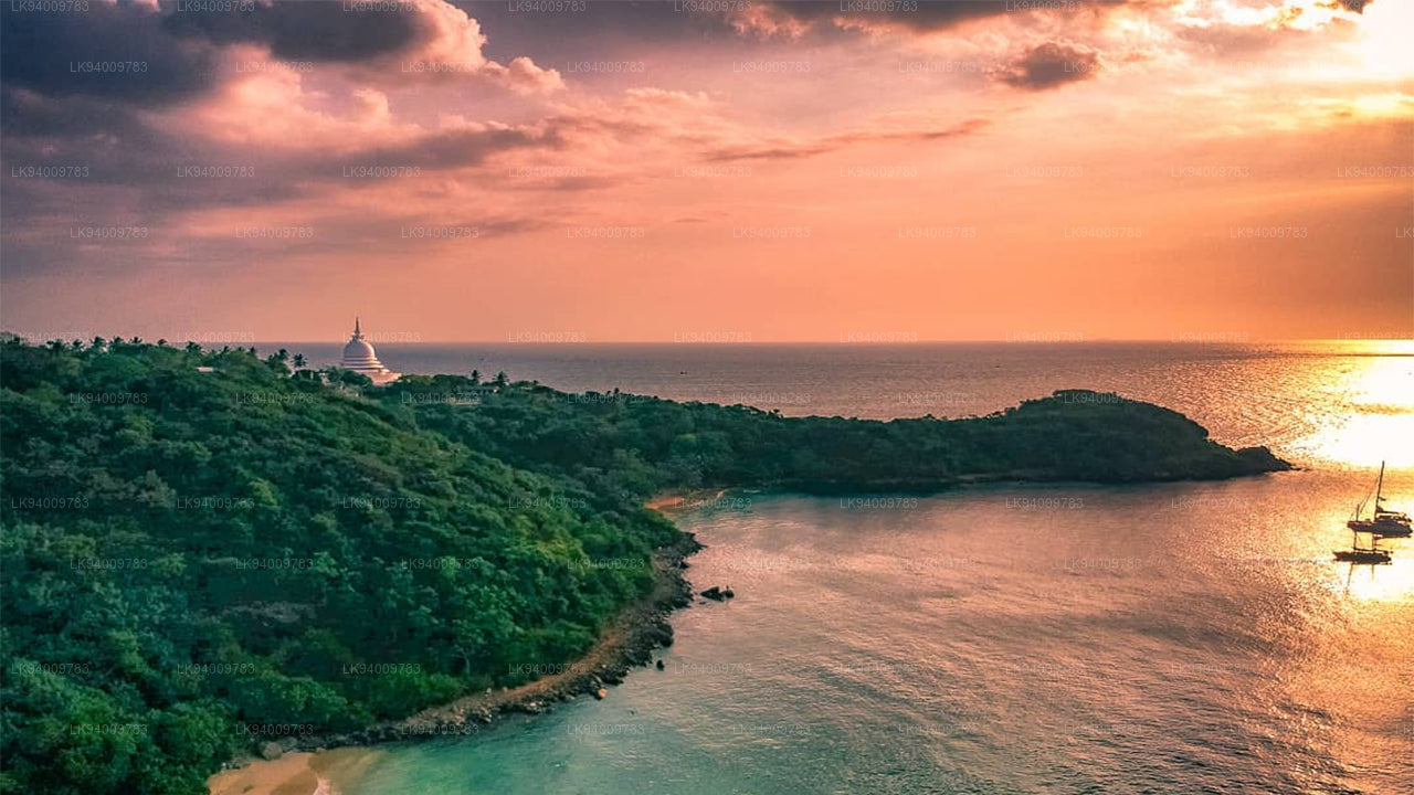 Rumasalla Mountain
Rumasalla Mountain. In the past, Rumassala was known as Buono Vista, a name that dates back to the colonial period, and most likely a corruption.
-
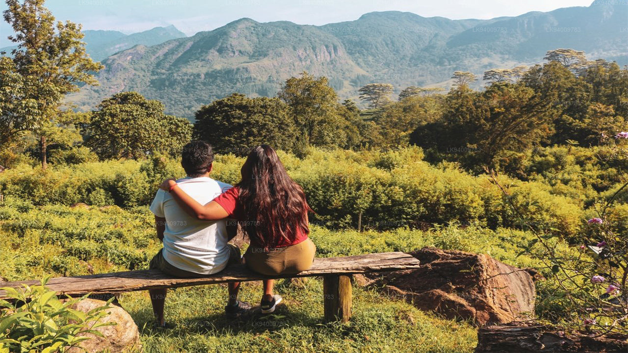 Knuckles Range
Knuckles range also called Dumbara mountain range is located off Kandy, in the northern end of Central Highlands of Sri Lanka. To the south and east of the mountain range is Mahaweli river basin while to the west are Matale plains.
-
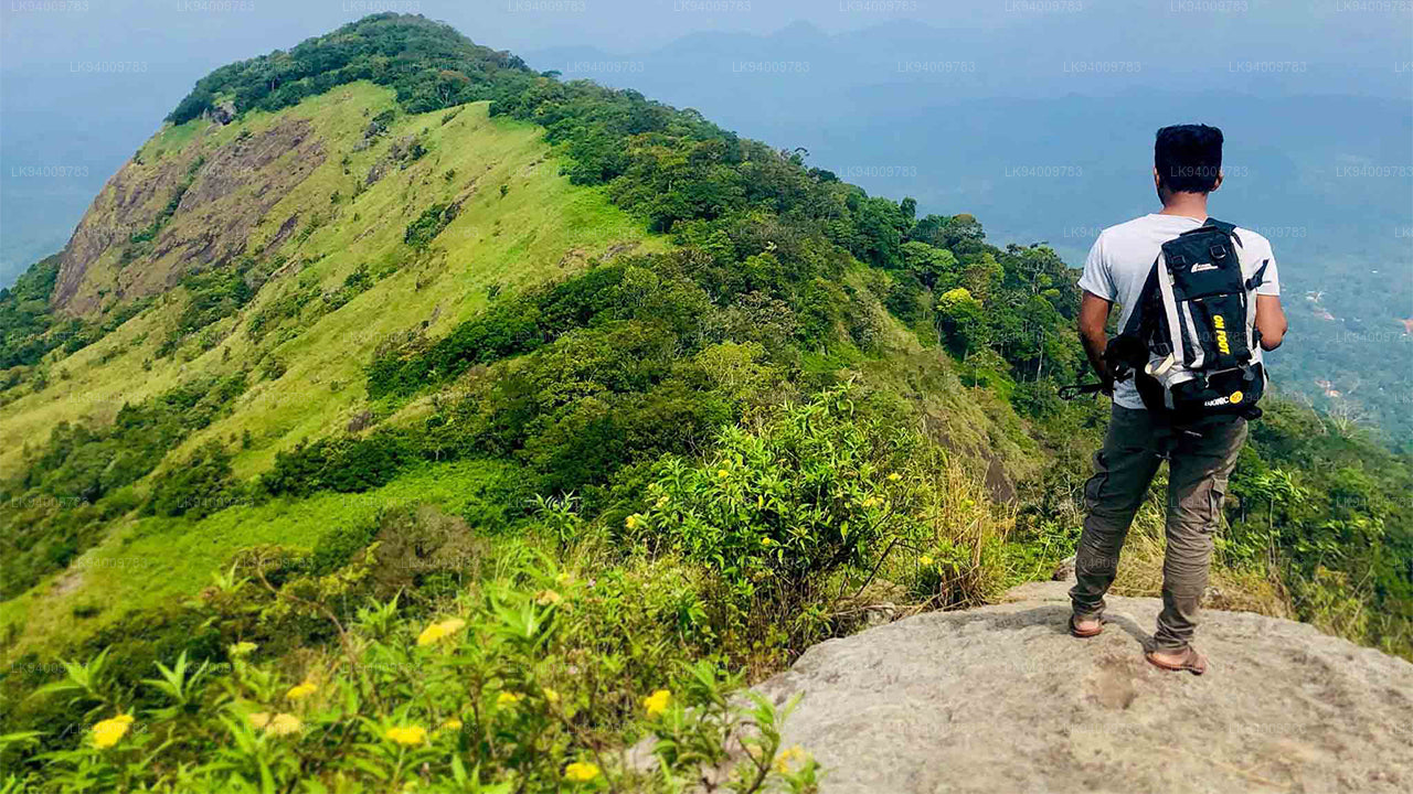 Alagalla Mountain Range
Alagalla Mountain Range. Alagalla Mountain Range or “Potato Range” is situated at the boundaries of the Central and Sabaragamuwa Provinces in Sri Lanka.
-
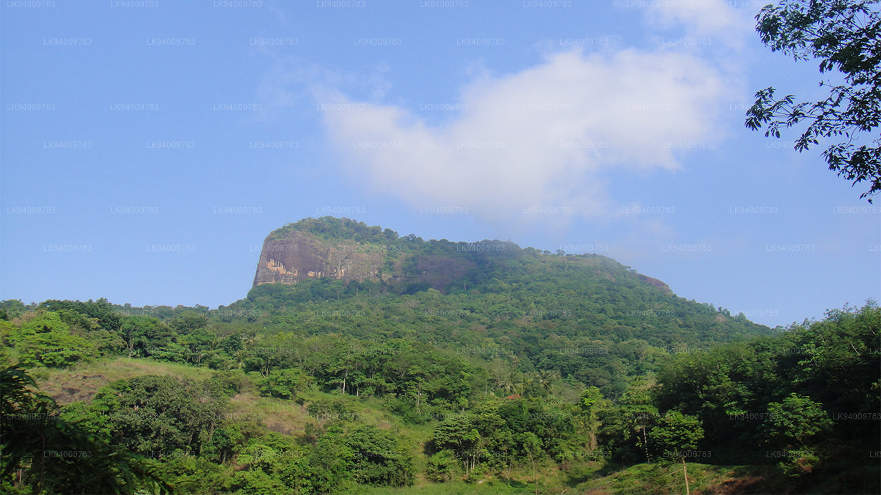 Bible Rock
Bible Rock is a mountain near Aranayake in Kegalle District in central Sri Lanka. It is known as the “Bible Rock” as its surface resembles.
-
 Monkey Mountain
Monkey Mountain. The Gal Oya area is resplendent with forest and lush with vegetation. Totally off-the-beaten-track and off-limits during the war, the area has avoided much development and the landscape is mostly unspoiled.
-
 Yahangala
The great King Ravana’s body was kept after his death upon this rock called Yahangala( bedrock), for his countrymen to pay their last respects to their dear departed king.