Ura Kanda
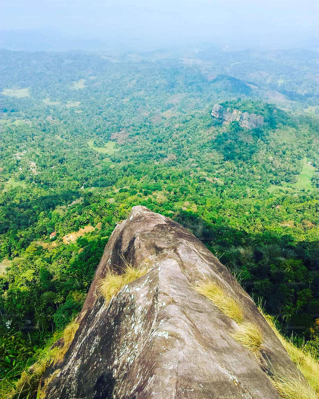
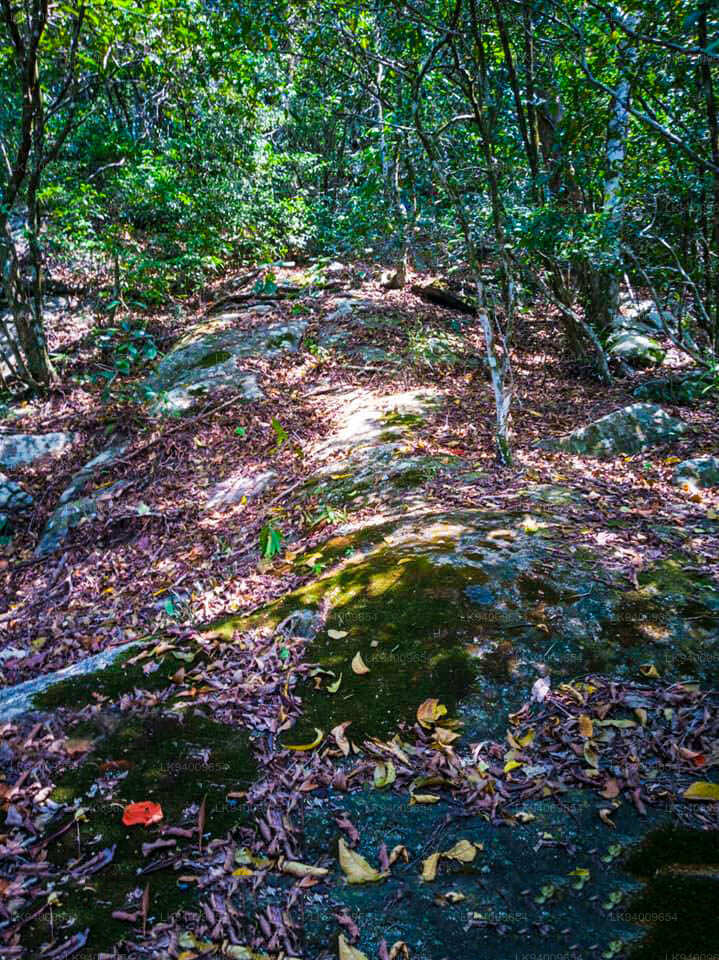
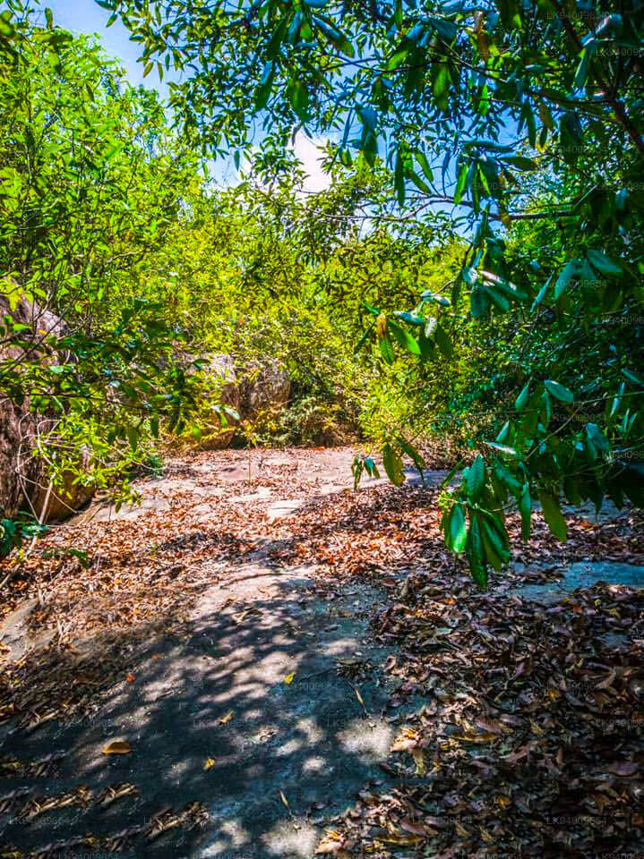
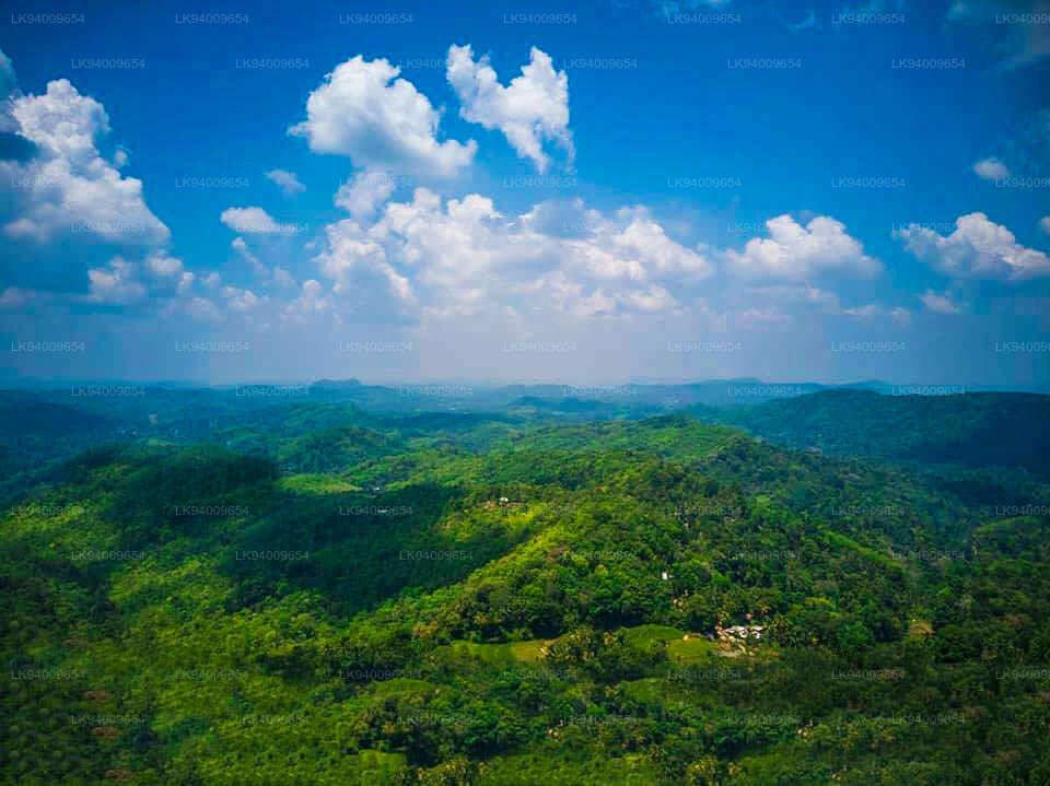
Ura Kanda, ein relativ unbekanntes Reiseziel in Sri Lanka , ist ein Berg im zentralen Hochland der Insel. Der Name „Ura Kanda“ bedeutet auf Singhalesisch „Eberberg“ und spiegelt die raue und wilde Natur des Geländes wider. Dieser Berg ist Teil der abwechslungsreichen Landschaft der Zentralprovinz Sri Lankas und bietet Wanderern und Naturliebhabern ein Erlebnis abseits der ausgetretenen Pfade.
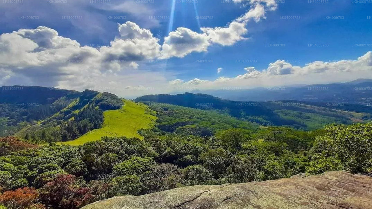
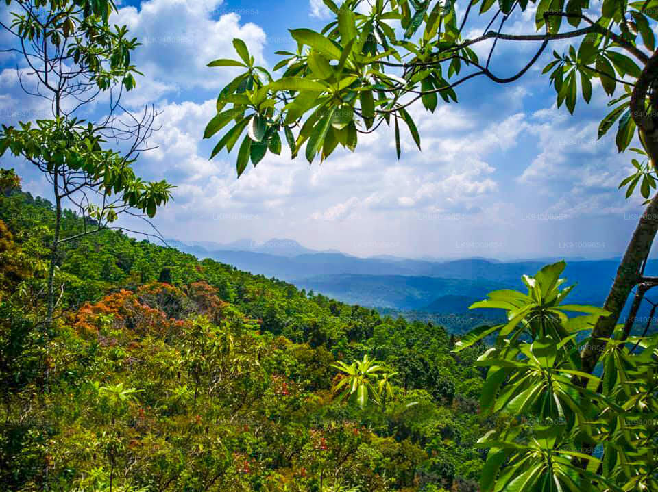
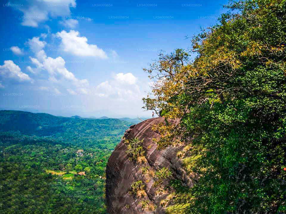
Die Region um Ura Kanda besticht durch ihre landschaftliche Schönheit mit dichten Wäldern, Felsvorsprüngen und Panoramablicken auf das zentrale Hochland. Die Region beheimatet eine vielfältige Flora und Fauna, darunter endemische Pflanzenarten und Wildtiere wie Affen, Vögel und gelegentlich Wildschweine – getreu dem Namen des Berges. Der Berg bietet eine erholsame Abwechslung zu den überlaufenen Touristenzielen wie Kandy oder Ella und bietet ein ruhigeres, gelasseneres Erlebnis für alle, die die Einsamkeit in der Natur suchen.
Trekking zum Ura Kanda ist eine der beliebtesten Aktivitäten für Besucher. Die Wanderung selbst ist mittelschwer und daher für die meisten Wanderer machbar, belohnt aber dennoch mit atemberaubenden Ausblicken auf dem Gipfel. Unterwegs können Wanderer das üppige Grün, die kühle Bergluft und die Geräusche der Natur genießen. Der Weg führt durch Teeplantagen und kleine Dörfer und bietet einen Einblick in das ländliche Leben im zentralen Hochland.
Neben seiner natürlichen Schönheit hat Ura Kanda auch eine kulturelle Bedeutung für die lokale Bevölkerung. In der Gegend gibt es kleine Schreine und Tempel, die die spirituelle Verbindung der lokalen Bevölkerung mit dem Land widerspiegeln.
Zusammenfassend lässt sich sagen, dass Ura Kanda ein ideales Reiseziel für alle ist, die Sri Lankas Naturschönheiten abseits der Massen erkunden möchten. Es bietet ein friedliches Trekking-Erlebnis, eine reiche Artenvielfalt und die Möglichkeit, die lokale Kultur kennenzulernen – ein verstecktes Juwel im zentralen Hochland Sri Lankas.
-
 Pidurutalagala
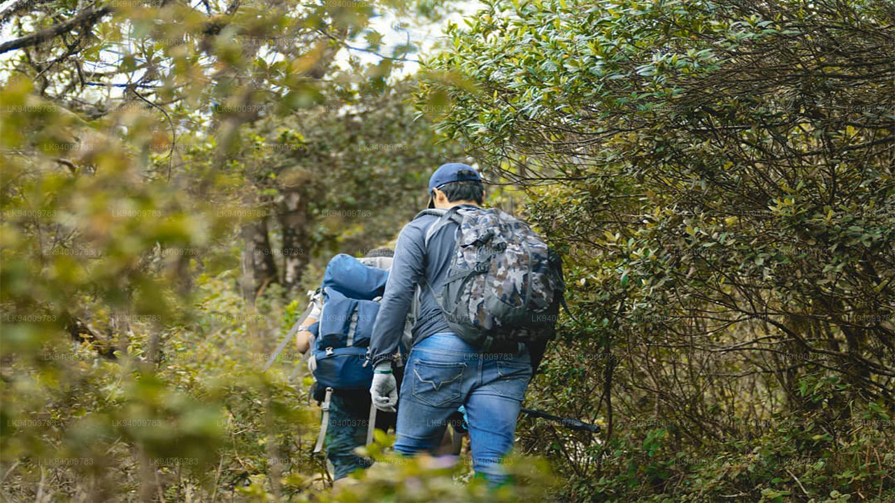
Pidurutalagala or Mount Pedro in English, is an ultra prominent peak, and the tallest mountain in Sri Lanka, at 2,524 m (8,281 ft). Mount Pedro is located close to the city of Nuwara Eliya, and is easily visible from most areas of the Central Province. It is situated North-North-East from the town of Nuwara Eliya.
-
 Lipton's Seat
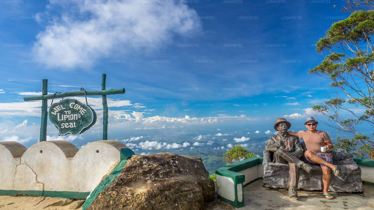
Lipton’s Seat is a high observation point in the hills of Poonagala. Located on the top of the town’s namesake, Poonagala Hill, it is also near the Dambatenne Tea Factory. Lipton’s Seat is so named because the famed Scottish baron and tea planter Sir Thomas Lipton used it as the seat to survey his empire in a time long gone but not forgotten.
-
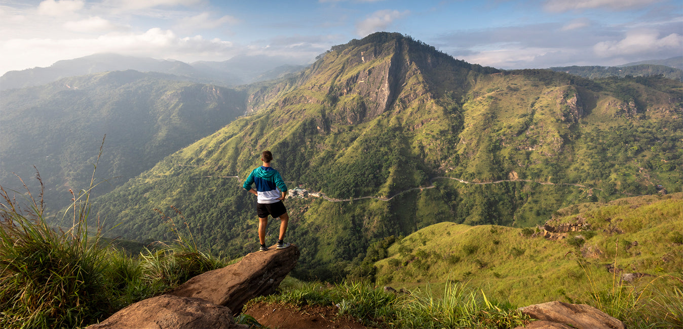
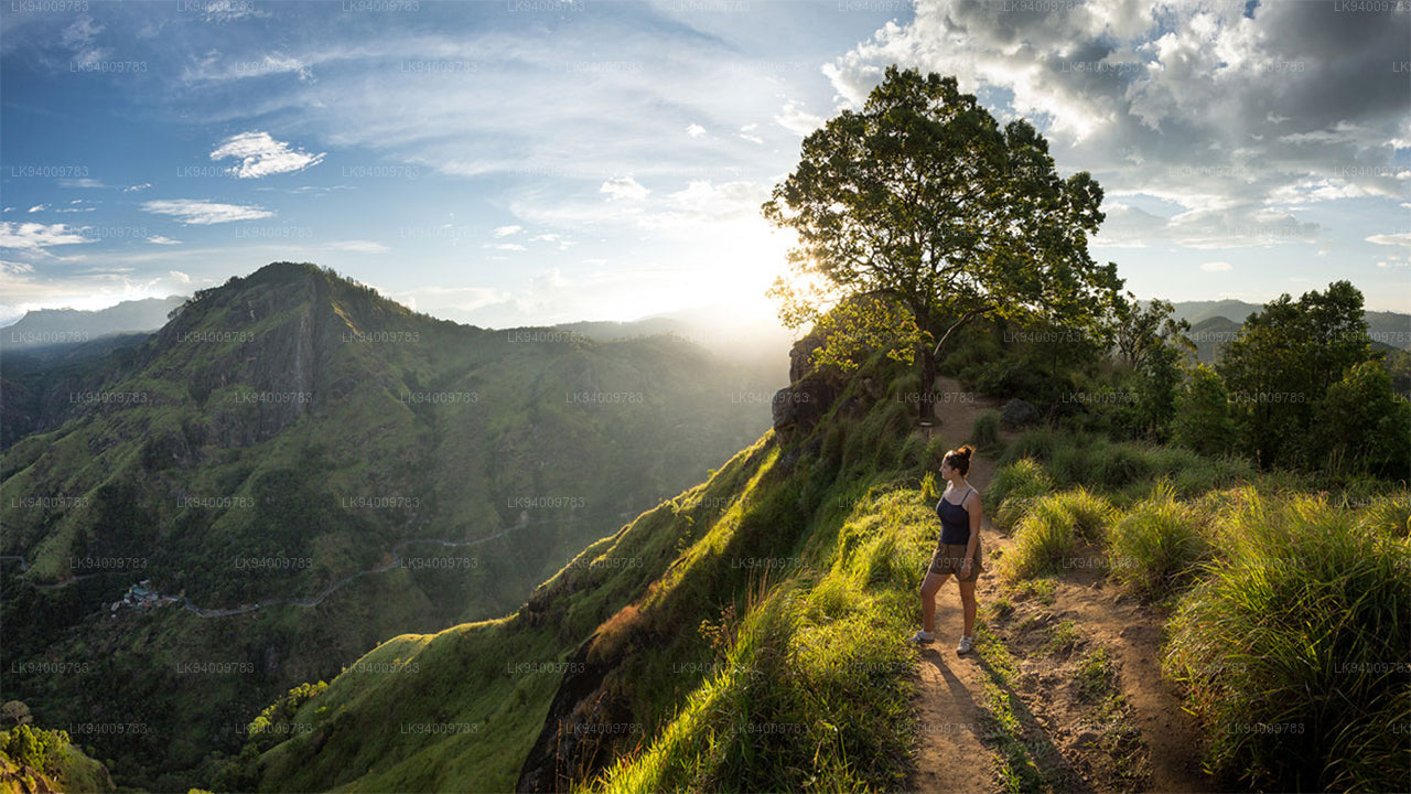
 Little Adam’s Peak
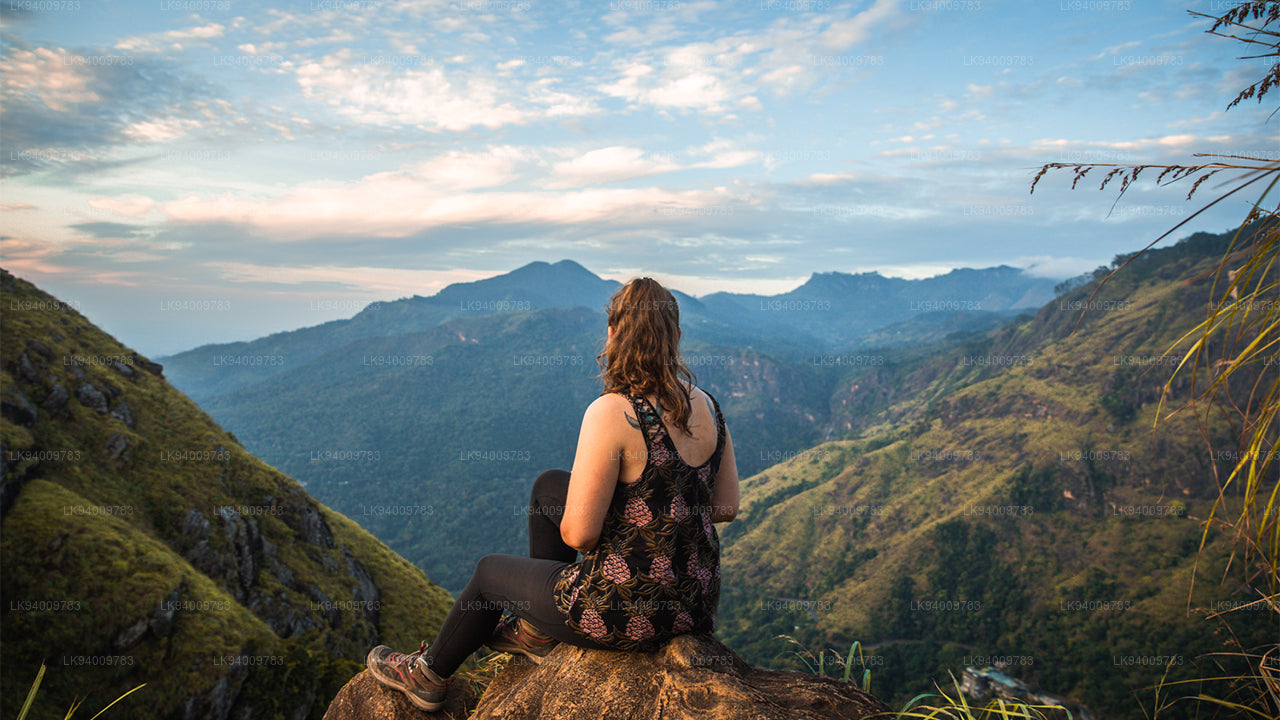
Don’t defiance the beautiful tourism site in Sri Lanka, Little Adams Peak whether considering the word ‘Little’, it is named after the sacred Adams Peak (Sri Pada –where the foot print of Lord Buddha is preserved) regarding the similarity between the two mountains.
-
 Ritigala
Ritigala can be reached from the turn-off from Habarana-Anuradhapura Road at a distance of 12 km from Habarana. Another 5 km along a graveled yet motorable road leads to the foot of the mountain.
-
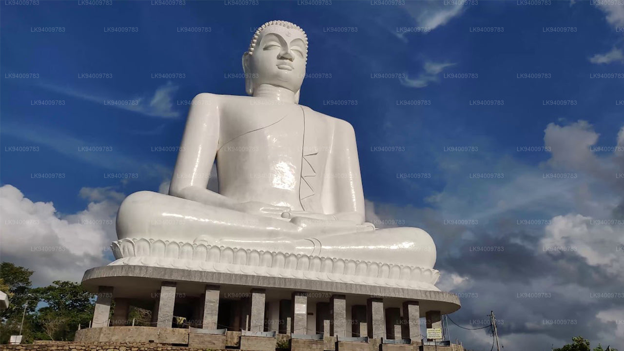 Ethagala (Elephnat Rock)
Ethagala (the Elephant Rock) is one of seven rocks that overlook the town of Kurunegala, in Sri Lanka. The rock face reaches 316 metres (1,037 ft) over the town and in its shape resembles a crouching elephant, which explains the rock’s name.
-
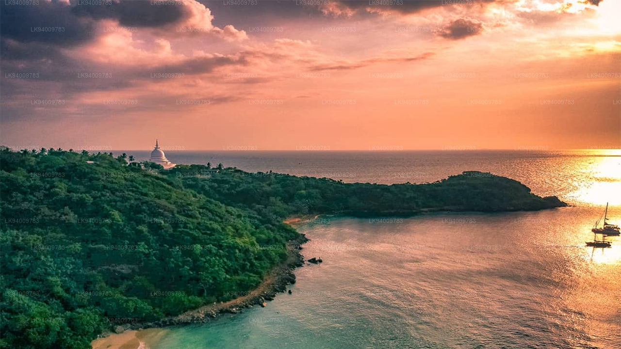 Rumasalla Mountain
Rumasalla Mountain. In the past, Rumassala was known as Buono Vista, a name that dates back to the colonial period, and most likely a corruption.
-
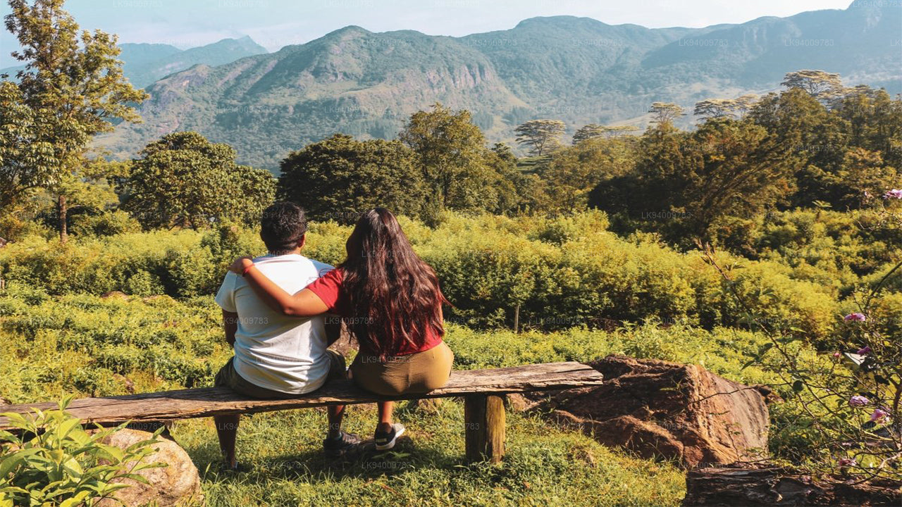 Knuckles Range
Knuckles range also called Dumbara mountain range is located off Kandy, in the northern end of Central Highlands of Sri Lanka. To the south and east of the mountain range is Mahaweli river basin while to the west are Matale plains.
-
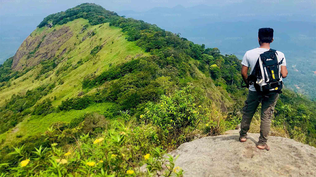 Alagalla Mountain Range
Alagalla Mountain Range. Alagalla Mountain Range or “Potato Range” is situated at the boundaries of the Central and Sabaragamuwa Provinces in Sri Lanka.
-
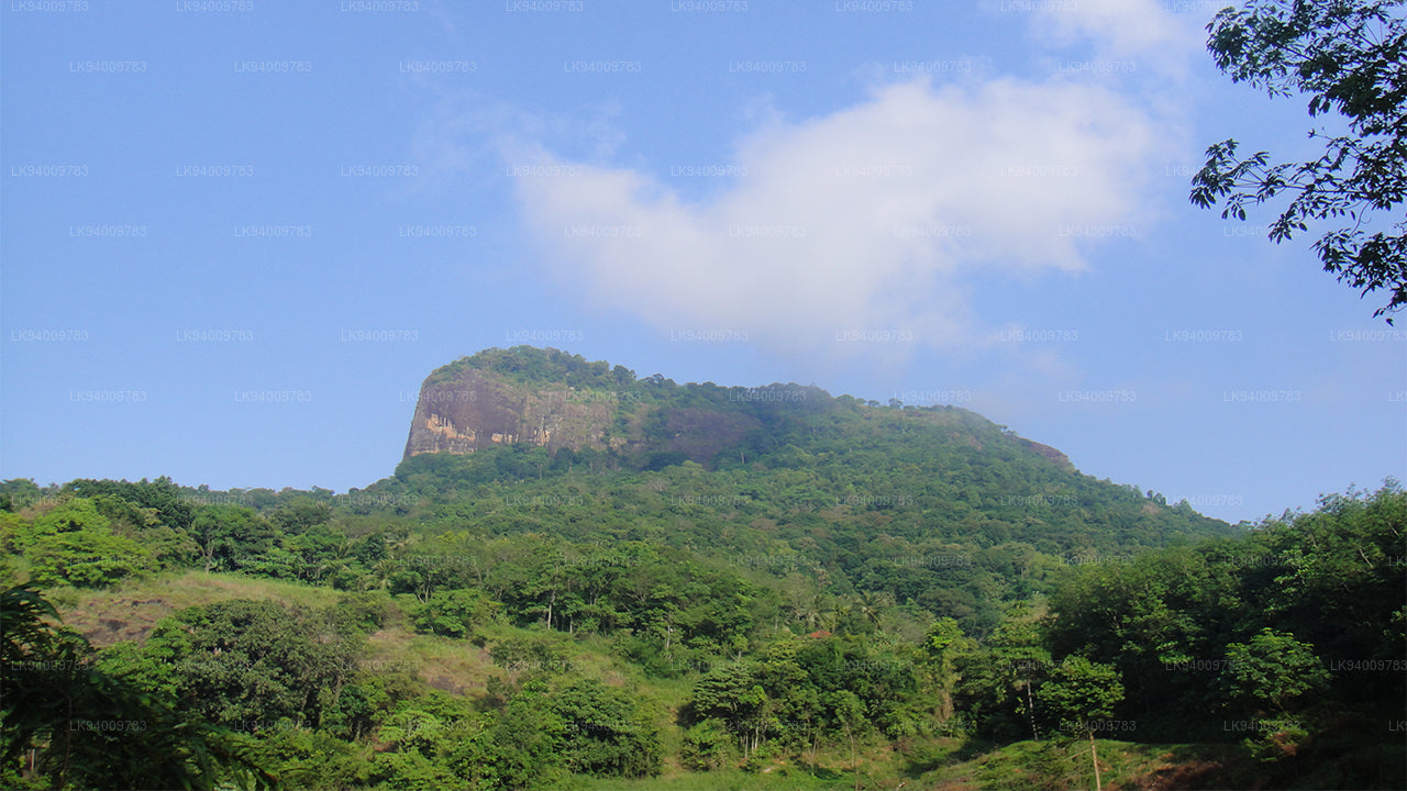 Bible Rock
Bible Rock is a mountain near Aranayake in Kegalle District in central Sri Lanka. It is known as the “Bible Rock” as its surface resembles.
-
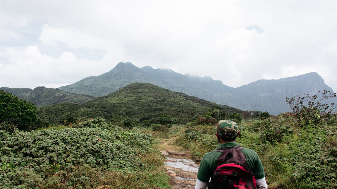 Monkey Mountain
Monkey Mountain. The Gal Oya area is resplendent with forest and lush with vegetation. Totally off-the-beaten-track and off-limits during the war, the area has avoided much development and the landscape is mostly unspoiled.
-
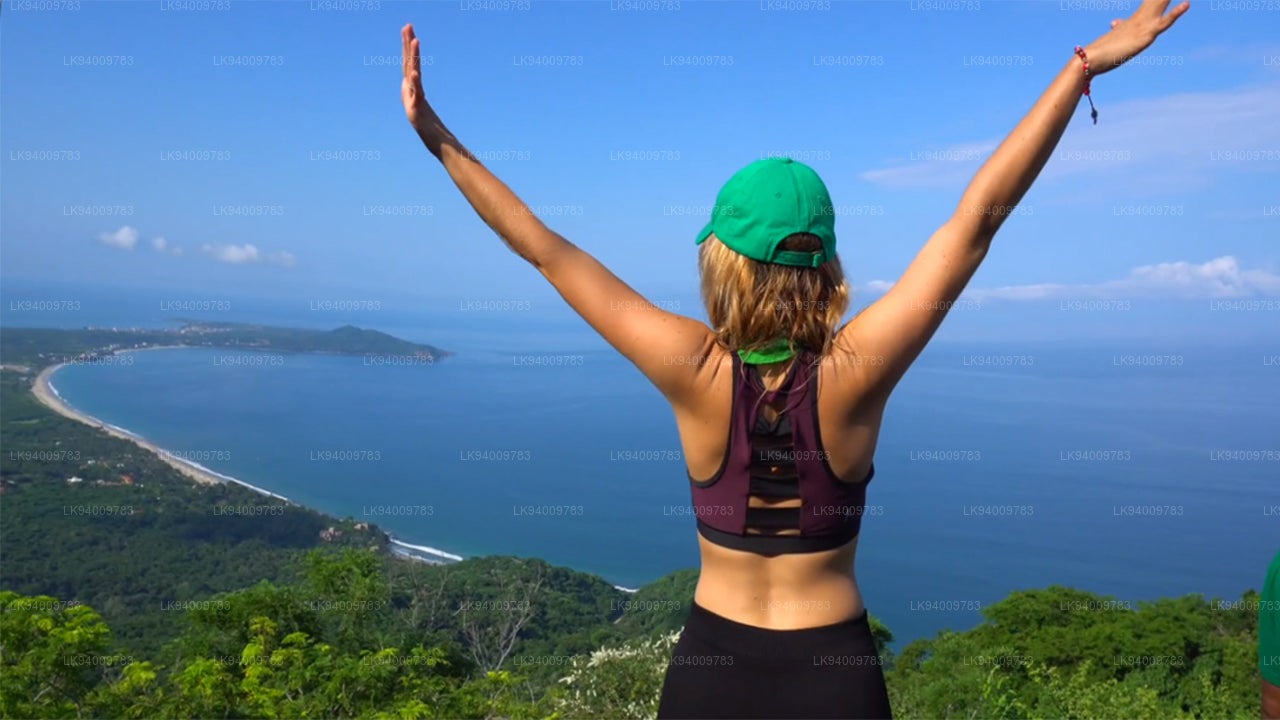 Yahangala
The great King Ravana’s body was kept after his death upon this rock called Yahangala( bedrock), for his countrymen to pay their last respects to their dear departed king.