Handun Ella


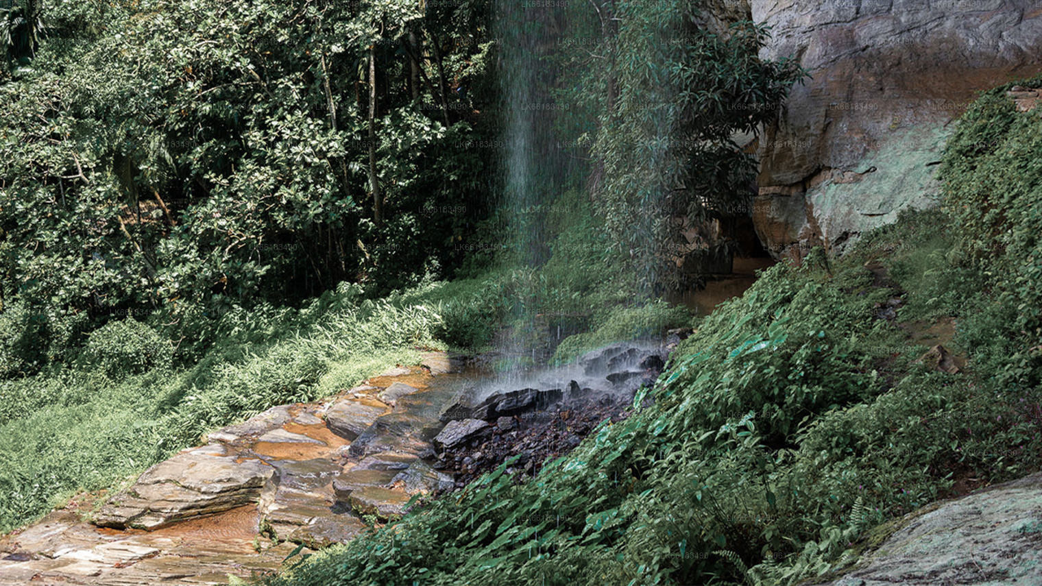
Handun Ella ist ein attraktiver kleiner Wasserfall in der Nähe der Region Kithulgala. Es liegt tief im Dschungel vergraben und ist ziemlich schwer zu erreichen. Der Wasserfall hat seinen Namen von Sandelholzbäumen (Handun), die vor vielen Jahrhunderten in der Region wuchsen.
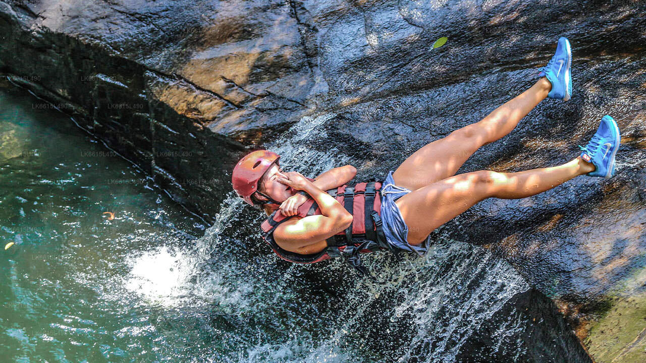
Handun Ella ist über 30 m hoch und fließt eine steil abfallende Felswand hinunter. Etwa auf halber Höhe der Felswand befindet sich ein Felsvorsprung, auf dem sich ein großes natürliches Tauchbecken befindet, das das Wasser der Wasserfälle auffängt. Es ist möglich, dass das Becken vor vielen Jahrhunderten entstanden ist, als der Fluss noch mehr Kraft hatte; und das Wasser krachte heftig auf den Felsvorsprung und trug das Grundgestein in eine tiefe Mulde. Heutzutage; der Wasserfluss ist vergleichsweise mild; und es ist der Überlauf des Tauchbeckens, der den unteren Teil der Felswand hinabstürzt und die untere Hälfte der Wasserfälle bildet.
Wie man dorthin kommt:
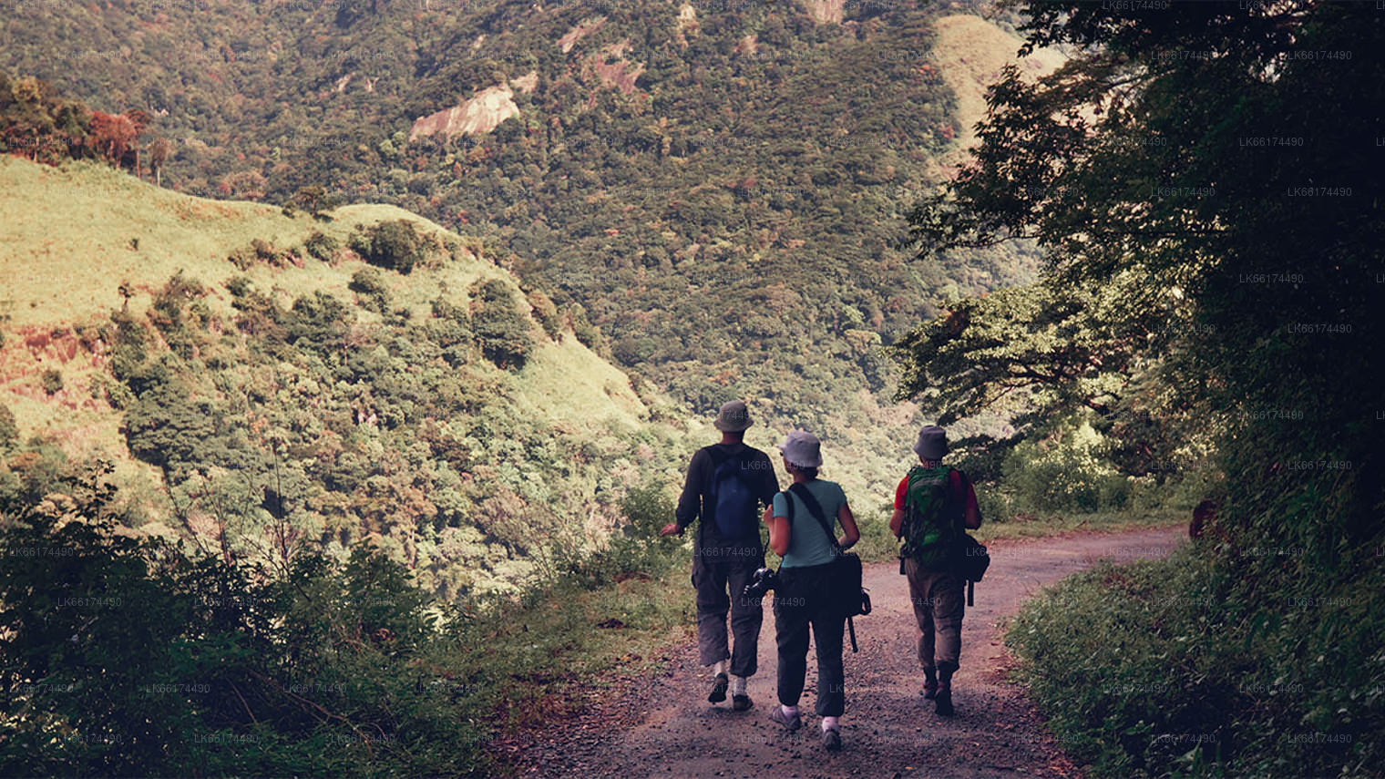
Nach Handun Ella zu gelangen ist nicht einfach, aber die Wanderung lohnt sich, wenn Sie dort ankommen. Es ist auch notwendig, einen guten Führer mitzunehmen, da man hier leicht umkehren kann. Sie müssen in Kithulgala beginnen. Etwa einen Kilometer von der Ginikiritha Reservoir Bridge entfernt finden Sie einen kleinen Fußweg. Sie müssen dem Weg etwa 2 km durch unwegsames Gelände folgen. Es ist auch voller Blutegel; Nehmen Sie also Salz und Wasser mit und tragen Sie außerdem Kleidung, die für diese Blutsauger nicht leicht durchdringbar ist.
Es gibt noch eine weitere Möglichkeit, den meisten Blutegeln aus dem Weg zu gehen. Man könnte bis zu einem bestimmten Punkt flussaufwärts durch den Abfluss laufen; und dann können Sie an einem kleineren Wasserfall beginnen, dem Weg zu folgen. Sobald Sie Handun Ella erreicht haben, gibt es einige Höhlen und Mulden in der Felswand, die Sie erkunden können. Da die Kraft nicht hoch ist; Sie können auch an der Basis schwimmen.
Handun Ella ist ein ziemlich wilder und unverschmutzter Ort, da er weniger bekannt und schwer zu erreichen ist.