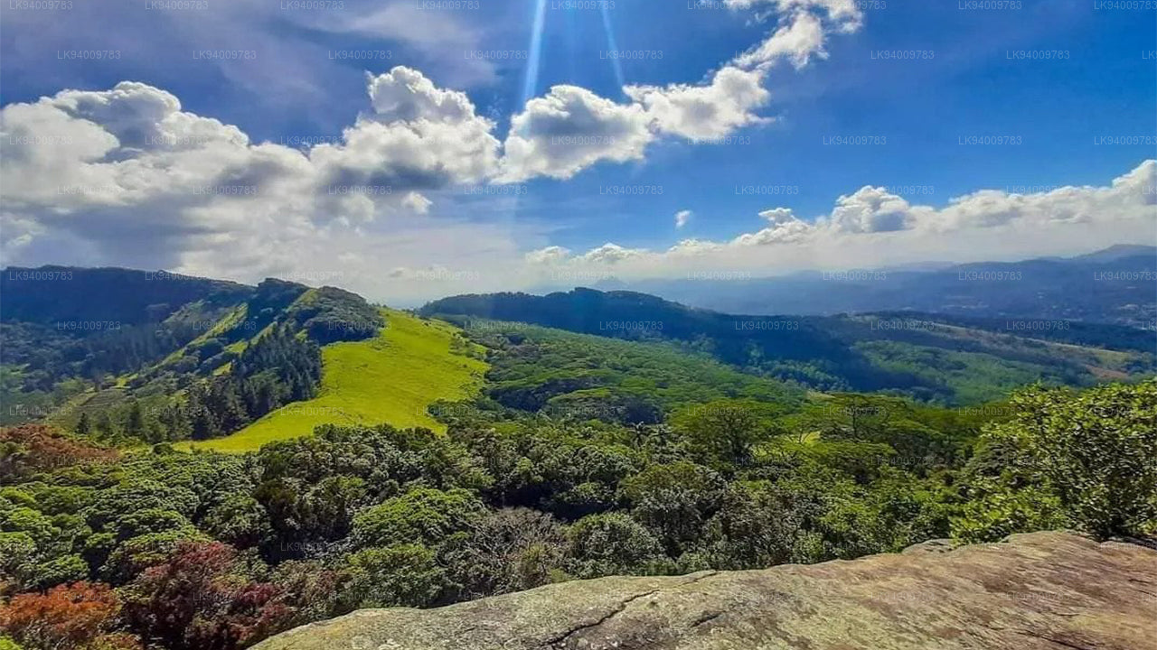
Rumassala-bjerget


Rumassala er et smukt bjerg, der ligger 3 km øst for byen Galle i den sydlige provins på Sri Lanka, og er direkte forbundet med Ramayana Yatra i Sri Lanka. Ifølge Ramayana Trail-turen i Sri Lanka menes denne usædvanlige geografiske formation at være faldet, da Hanuman bar Dronagiri-bjerget på sin flyvning tilbage til Lanka for at bruge de livsreddende Sanjeevani-urter der. Disse urter var nødvendige for at redde Lakshmana og Rama, der var alvorligt såret i deres krig. Derfor er Rumassala et af de fem Sanjivani bjerge på Sri Lanka og et vigtigt sted for Sri Lankas Ramayana-tur.
Legende
Ifølge den berømte sanskrit-epos Ramayana, da prins Ramas kone Sita blev kidnappet af den Asura-king Ravana, fulgte Rama sammen med sin yngre bror og abeguden Hanuman hende til Sri Lanka. Under den heftige kamp for at redde hende blev Ramas bror Lakshmana alvorligt såret, og Hanuman blev sendt for at finde de medicinske urter, der var nødvendige for at helbrede ham. Det siges, at halvguden i sin forvirring for at finde den rigtige medicin brød et stykke af det hellige bjerg. Bjerget brød i fem separate stykker, og et af dem menes at være faldet, hvor Rumassala-bjerget ligger i dag. Under transporten af bjerget siges det, at dele af det faldt på fem steder i Sri Lanka: Rumassala i Galle, Dolu Kanda i Hiripitiya, Ritigala på Habarana-Anuradhapura-vejen, Thalladi i Mannar og Kachchativu i nord.
I dag står det majestætiske bjerg som et vidnesbyrd om de fascinerende begivenheder nævnt i epikken. Med mærkelige historier om rejsende, der bliver tabt i bjerget, er Rumassala også et fristed for urter. Forskere har fundet næsten 150 arter af unikke urter, der mærkeligt nok ikke vokser andre steder.


-
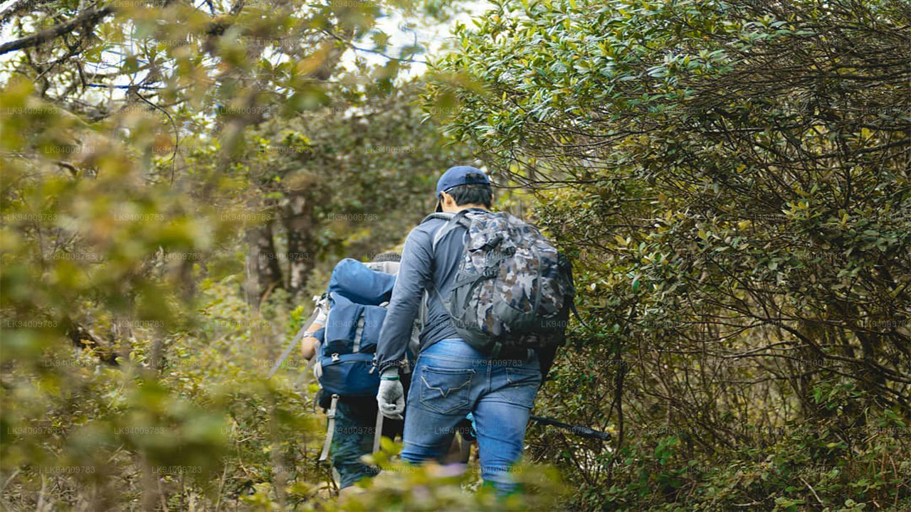 Pidurutalagala
Pidurutalagala or Mount Pedro in English, is an ultra prominent peak, and the tallest mountain in Sri Lanka, at 2,524 m (8,281 ft). Mount Pedro is located close to the city of Nuwara Eliya, and is easily visible from most areas of the Central Province. It is situated North-North-East from the town of Nuwara Eliya.
-
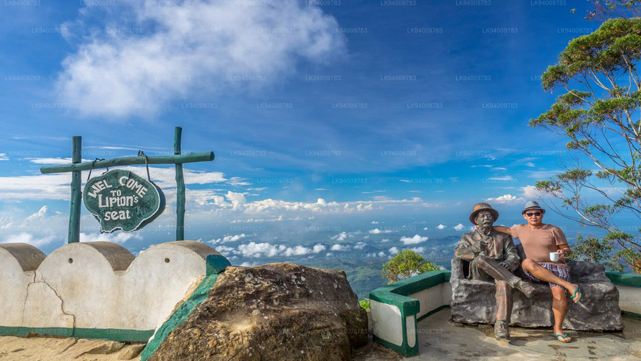 Lipton's Seat
Lipton’s Seat is a high observation point in the hills of Poonagala. Located on the top of the town’s namesake, Poonagala Hill, it is also near the Dambatenne Tea Factory. Lipton’s Seat is so named because the famed Scottish baron and tea planter Sir Thomas Lipton used it as the seat to survey his empire in a time long gone but not forgotten.
-
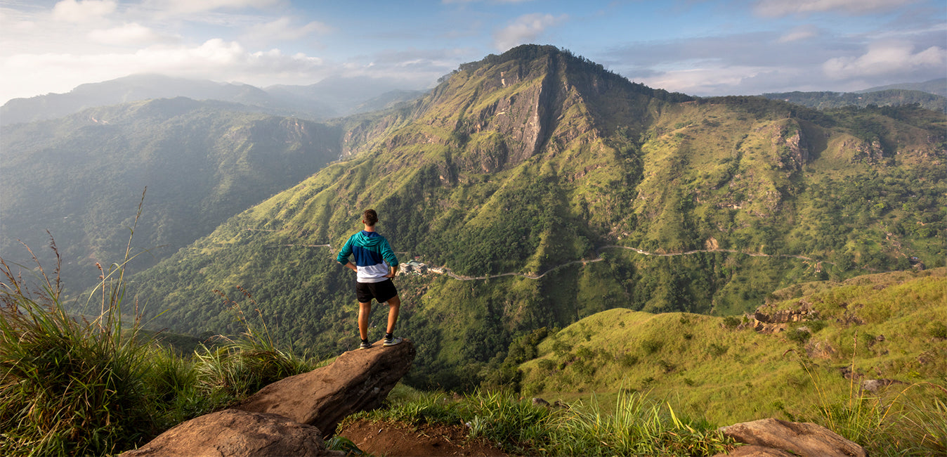
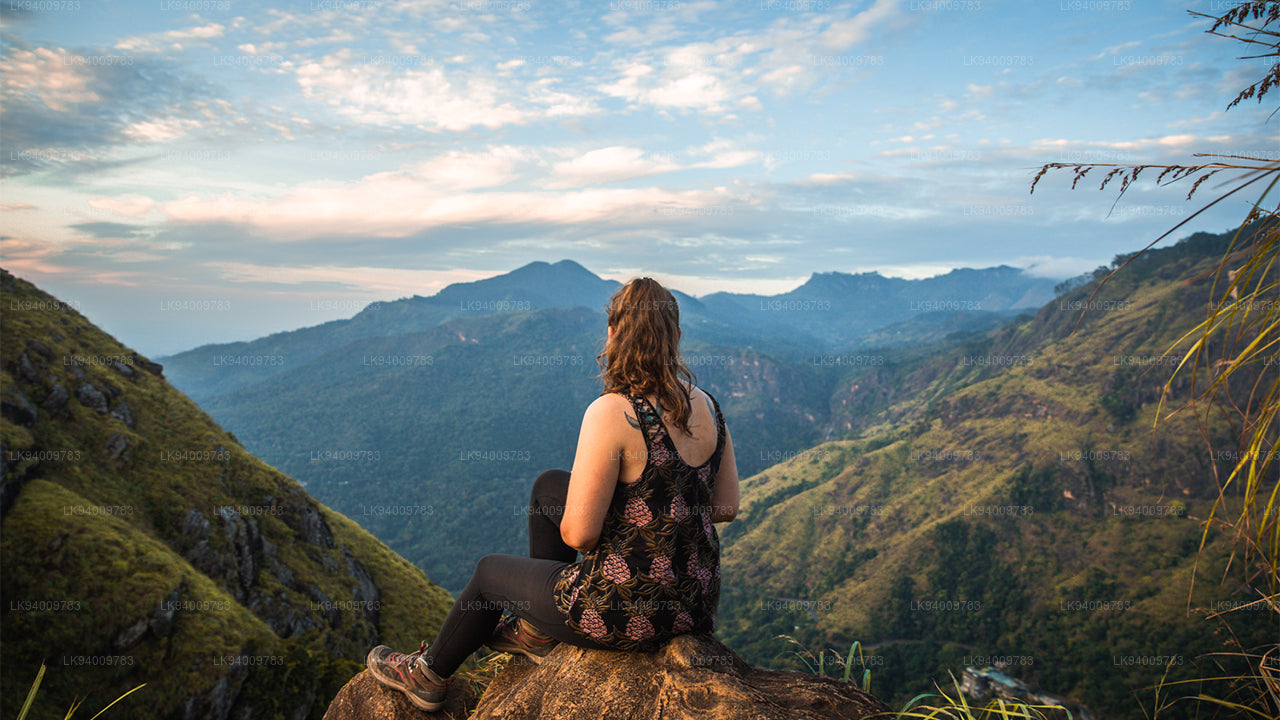 Little Adam’s Peak
Don’t defiance the beautiful tourism site in Sri Lanka, Little Adams Peak whether considering the word ‘Little’, it is named after the sacred Adams Peak (Sri Pada –where the foot print of Lord Buddha is preserved) regarding the similarity between the two mountains.
-
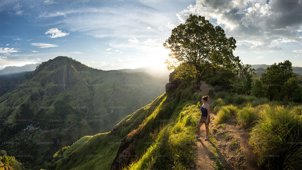 Ritigala
Ritigala can be reached from the turn-off from Habarana-Anuradhapura Road at a distance of 12 km from Habarana. Another 5 km along a graveled yet motorable road leads to the foot of the mountain.
-
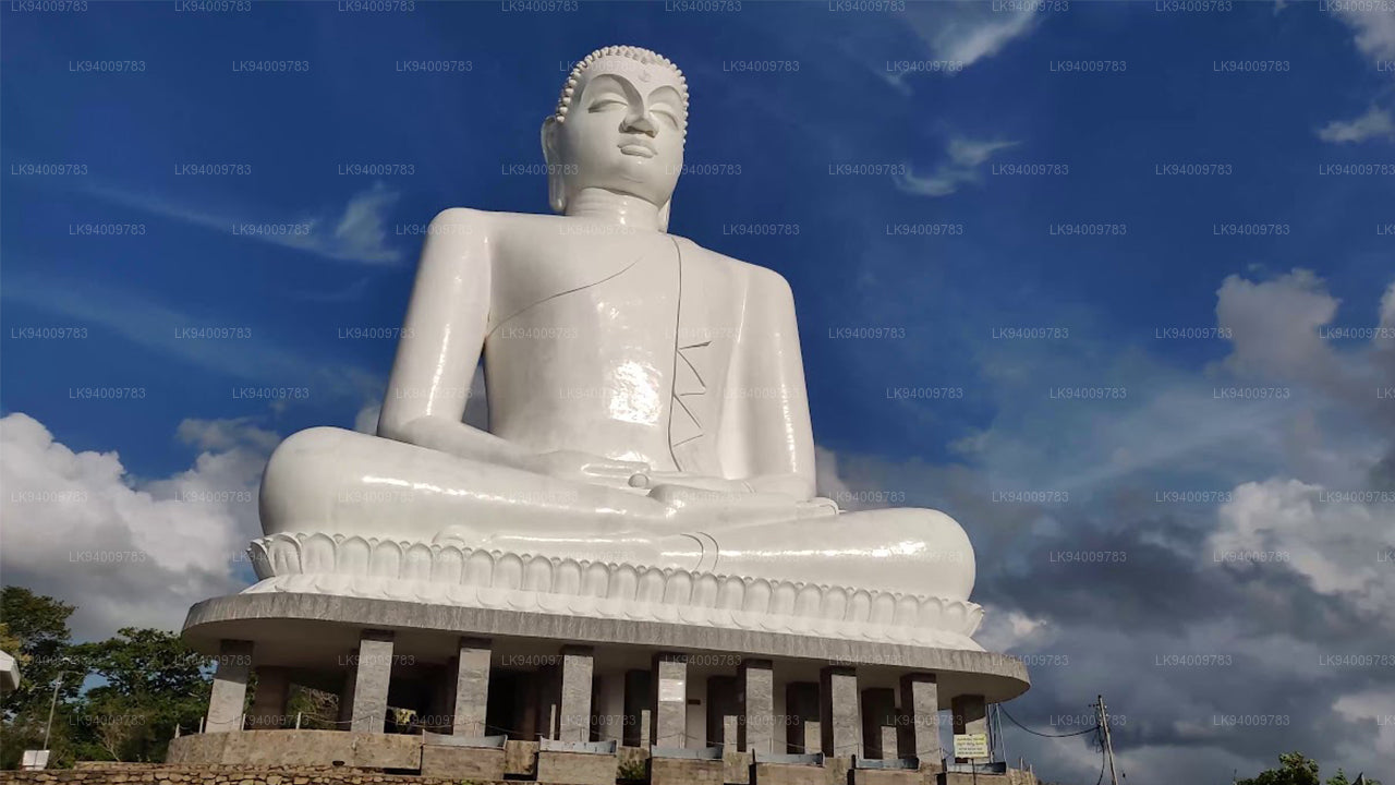 Ethagala (Elephnat Rock)
Ethagala (the Elephant Rock) is one of seven rocks that overlook the town of Kurunegala, in Sri Lanka. The rock face reaches 316 metres (1,037 ft) over the town and in its shape resembles a crouching elephant, which explains the rock’s name.
-
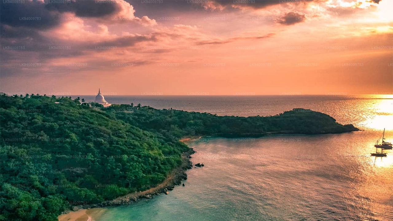 Rumasalla Mountain
Rumasalla Mountain. In the past, Rumassala was known as Buono Vista, a name that dates back to the colonial period, and most likely a corruption.
-
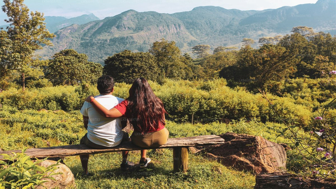 Knuckles Range
Knuckles range also called Dumbara mountain range is located off Kandy, in the northern end of Central Highlands of Sri Lanka. To the south and east of the mountain range is Mahaweli river basin while to the west are Matale plains.
-
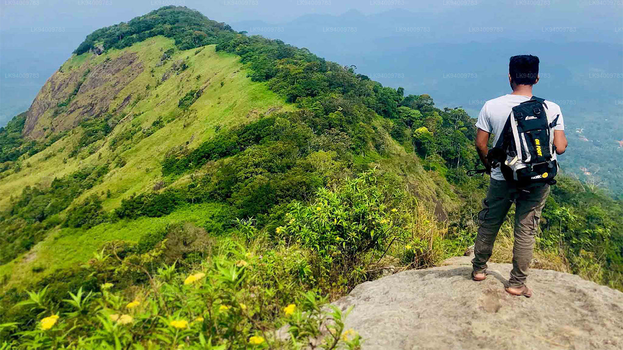 Alagalla Mountain Range
Alagalla Mountain Range. Alagalla Mountain Range or “Potato Range” is situated at the boundaries of the Central and Sabaragamuwa Provinces in Sri Lanka.
-
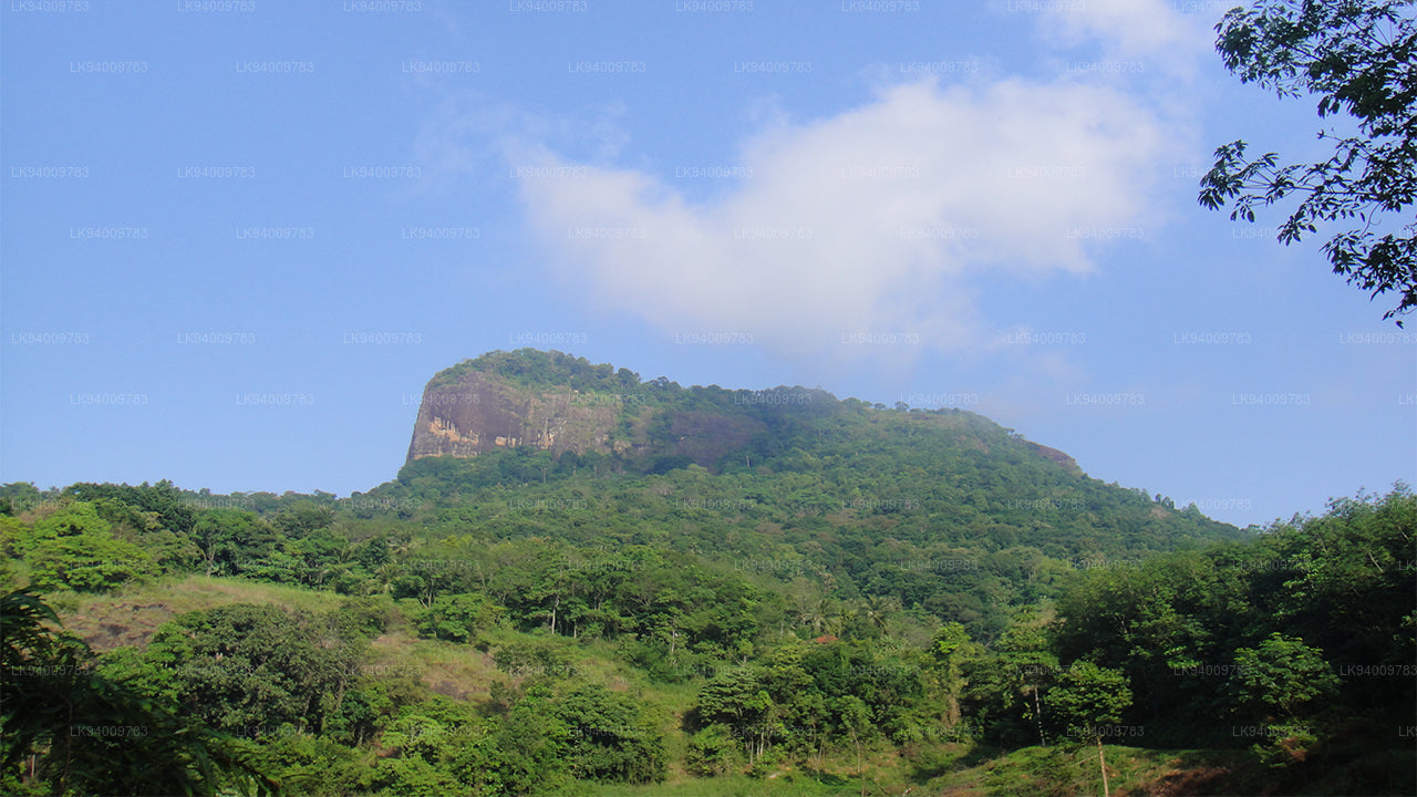 Bible Rock
Bible Rock is a mountain near Aranayake in Kegalle District in central Sri Lanka. It is known as the “Bible Rock” as its surface resembles.
-
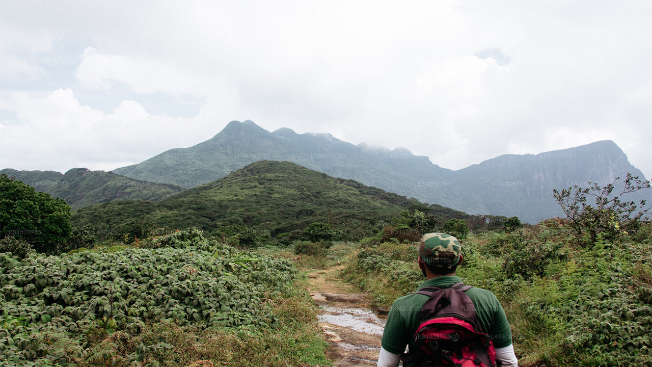 Monkey Mountain
Monkey Mountain. The Gal Oya area is resplendent with forest and lush with vegetation. Totally off-the-beaten-track and off-limits during the war, the area has avoided much development and the landscape is mostly unspoiled.
-
 Yahangala
The great King Ravana’s body was kept after his death upon this rock called Yahangala( bedrock), for his countrymen to pay their last respects to their dear departed king.