Ampara City
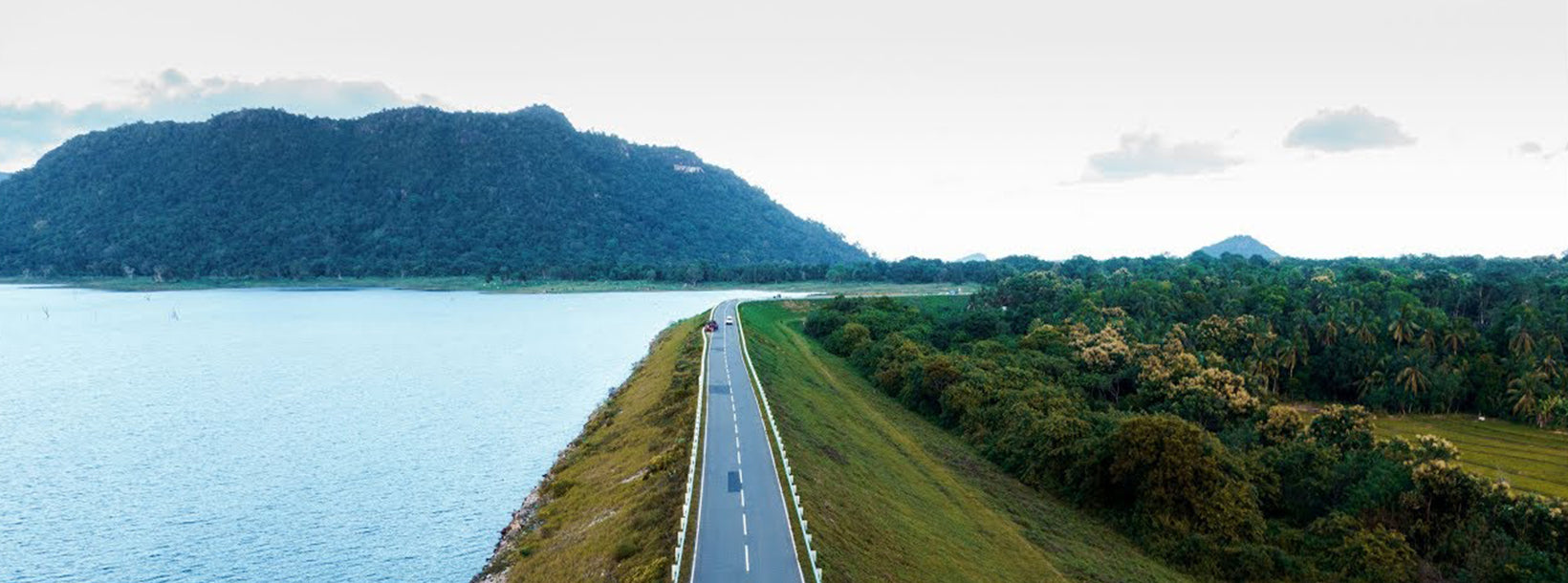
Ampara: District in Sri Lanka's Eastern Province, showcasing diverse landscapes, wildlife sanctuaries, historical sites, and cultural attractions, perfect for exploration and adventure.
Ampara City
Ampara is the main town of Ampara District. It is located in the Eastern Province, Sri Lanka, about 360 km (224 mi) east of Colombo and approximately 60 km (37 mi) south of Batticaloa.This was a hunters' resting place during British colonial days. During the development of the Gal Oya scheme from 1949 , Ampara was transformed into a town. Initially it was the residence for the construction workers of Inginiyagala Dam. Later it became the main administrative town of the Gal Oya Valley.
Attraction in Ampara
Kumana National Park: One of the most popular attractions in Ampara is the Kumana National Park; a fantastic place to visit, especially for wildlife enthusiasts. Covering an extensive area of 35,664 hectares approximately, this park houses a wide variety of birds, reptiles, and mammals.
Deegavapiya: Deegavapiya is an ancient an ancient Buddhist temple that is well-visited for its historical and religious significance. The importance of Deegavapiya is connected with legends about visits to this site by the Buddha himself.
Gal Oya National Park: Gal Oya National Park in Sri Lanka was established in 1954 and serves as the main catchment area for Senanayake Samudraya, the largest reservoir in Sri Lanka. The elevation of the park varies from 30 m to about 900 m.[4] Danigala, Nilgala, and Ulpotha are the mountains of the park.
Arugam bay: Arugam Bay, known locally as "Arugam Kudah", is situated on the Indian Ocean in the dry zone of Sri Lanka's southeast coast, and a historic settlement of the ancient Batticaloa Territory (Mattakallappu Desam). The bay is located 117 kilometres (73 mi) south of Batticaloa, 320 kilometres (200 mi) due east of Colombo, and approximately 4 kilometres (2.5 mi) south of the market town of Pottuvil. Arugam bay is a famous surfing destination.
Things to do in Ampara
Jeep safari at Kumana: A Kumana National Park Safari is an extremely popular activity birdwatching enthusiasts. Renowned as a paradise for resident and migrating birds, the Kumana National Park is a crystalline testament to the diversity of Sri Lanka. One of the most significant features of the park is the 'Kumana Villu' - a 200 hectare natural swamp lake, fed by the 'Kumbukkan Oya' through a half mile long narrow channel.Bird Watching at Kumana: Kuman is one of the best place to bird watching. The Kumana Bird Sanctuary established in 1938, is part of the Kumana National Park and is one of the most important nesting and breeding grounds for birds in Sri Lanka. Of the country’s 400 bird species, the Kumana Bird Sanctuary is known to have recorded 255 species of birds
Gal Oya Safari: Gal Oya National Park allows the visitors to enjoy its beauty and wild life by Boat safari as well as by Jeep safaris. Boat safari affords the opportunity to land in an island within the reservoir called “Bird Island” swarming with birds. Gal Oya National ParkThe Jeep safaris that consist of two tracks of 5km and 13 km are ideal to catch the sights of elephants and leopards.Best time to visit Gal Oya National Park is from March to July. During this period, the boat safaris bring the spectacle of herds of elephants swimming from one island to another island in the great Senanayaka Samaudra reservoir
Camping at Kumana National Park: This tour takes you on a memorable camping tour in the feather-filled wilderness of Kumana National Park. Go on a guided safari tour through Kumana; and attempt to identify the migratory and endemic avifauna the park is famous for. Discover the hidden nests of the hundreds of species of birds that live there and learn more about their lives.Dry zone Mountain HikeHiking in Dry zone is one of the most thrilling adventurous experience in Ampara. Once you reach the top, the views are wondrous. There are several viewpoints that provide 360-degree sights on the low land planes in north-central, Uva, and eastern provinces of Sri Lanka.
Ampara is also featured on TripAdvisor, Viator and GetYourGuideAbout Ampara District
Ampara is belongs to the Eastern Province. of Sri Lanka It is a remote city on the East Coast of Sri Lanka, about 360 km from the capital city of Colombo.Ampara is the largest paddy harvesting province in the country, and has the Indian Ocean on the east coast of Sri Lanka as a fisheries resource. Most of the civilians are Sinhala, while Tamils and Moors also live in the coastal parts of the district.
About Eastern Province
The Eastern Province is one of the 9 provinces of Sri Lanka. The provinces have existed since the 19th century but they didn't have any legal status until 1987 when the 13th Amendment to the 1978 Constitution of Sri Lanka established provincial councils. Between 1988 and 2006 the province was temporarily merged with the Northern Provincee to form the North-East Province. The capital of the province is Trincomalee. The Eastern province's population was 1,460,939 in 2007. The province is the most diverse in Sri Lanka, both ethnically and religiously.
Eastern province has an area of 9,996 square kilometers (3,859.5 sq mi).The province is surrounded by the Northern Province to the north, the Bay of Bengal to the east, the Southern Province to the south, and the Uva, Central and North Central provinces to the west. The province's coast is dominated by lagoons, the largest being Batticaloa lagoon, Kokkilai lagoon, Upaar Lagoon and Ullackalie Lagoon.


