指关节视角

Knuckles View Point Knuckles View Point Knuckles View Point

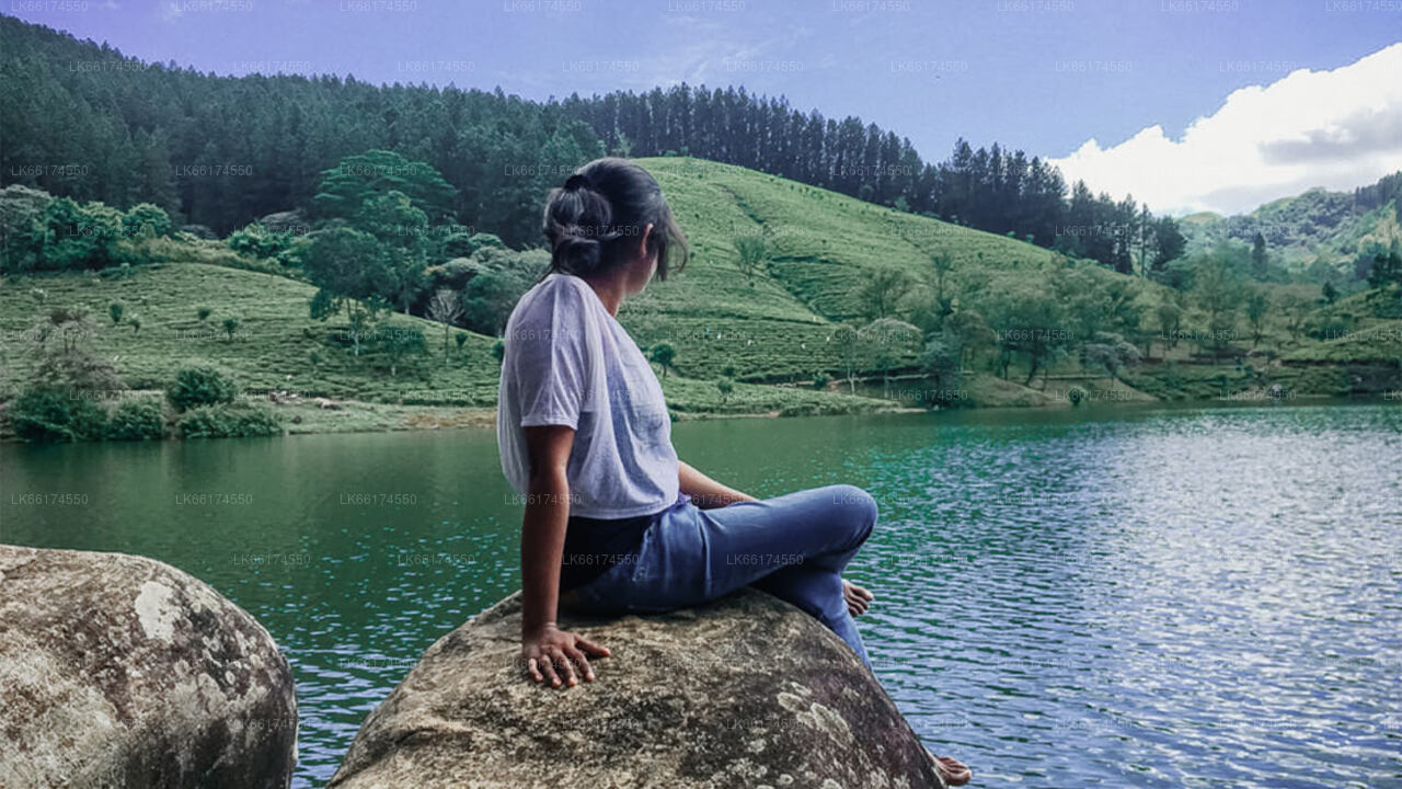
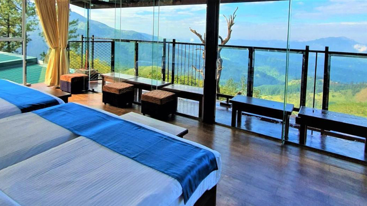
指关节视角,位于指节山脉,位于斯里兰卡中部,提供了岛上最令人叹为观止的全景视角之一。以其雾气弥漫的山顶、密集的森林和起伏的山丘而闻名,这个观景点为游客提供了一个难得的机会,去欣赏斯里兰卡高原的自然美景。该观景点位于指节保护森林内,是联合国教科文组织世界遗产,并且是进入该地区丰富的生物多样性和壮丽景观的门户。

指关节视角周围的区域是各种植物和动物的栖息地,许多本地物种在该山脉较冷、潮湿的气候中繁衍生息。周围的森林、小溪和瀑布增加了这个地区的魅力,使其成为自然爱好者和野生动物爱好者的热门景点。指节山脉以其生物多样性而闻名,拥有多个徒步旅行路径,提供观察当地野生动物的机会,包括本地的鸟类蝴蝶以及各种植物物种。

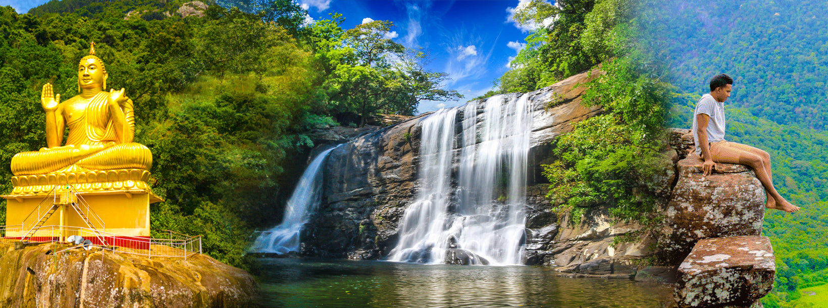
指关节视角的游客可以享受各种活动,包括徒步旅行、鸟类观察、摄影,或简单地欣赏令人叹为观止的景色。这个观景点在徒步旅行者中尤其受欢迎,他们经常进行多日徒步旅行,探索指节山脉的隐藏角落,包括如*迷你世界尽头*这样的地方,这是一个戏剧性的悬崖,提供更高视角的周围山谷和森林。这个观景点也是一个理想的地方,享受清凉的气候和清新的空气,成为进入大自然的宁静避风港。

参观指关节视角的最佳时间是干季,从12月4月,这时天气最适合户外活动,而且小道更容易进入。然而,这个地区的气候变化迅速,因此来访时必须准备适合徒步旅行和应对不可预测天气的服装。该观景点从康提和其他附近城市易于到达,是探索斯里兰卡高原的旅行中的绝佳补充。不论您是冒险爱好者,自然爱好者,还是单纯想体验斯里兰卡高原壮丽美景的人,指关节视角都是必去的目的地。

Knuckles View Point Knuckles View Point Knuckles View Point

About Central Province

The Central Province of Sri Lanka consists primarily of mountainous terrain. The province has an area of 5,674 km², and a population of 2,421,148. Some major towns include Kandy, Gampola (24,730), Nuwara Eliya and Bandarawela. The population is a mixture of Sinhalese, Tamil and the Moors.

Both the hill capital Kandy and the city of Nuwara Eliya are located within the Central Province as well as Sri Pada. The province produces much of the famous Ceylon tea, planted by the British in the 1860s after a devastating disease killed all the coffee plantations in the province. Central Province attracts many tourists, with hill station towns such as Kandy, Gampola, Hatton and Nuwara Eliya. Temple tooth or Dalada maligawa is the main sacred place in Centrel province.

The climate is cool, and many areas about 1500 meters often have chilly nights. The western slopes are very wet, some places having almost 7000 mm of rain per year. The eastern slopes are parts of the mid-dry zone as it is receiving rain only from North-Eastern monsoon. The Temperatures range from 24°C at Kandy to just 16°C in Nuwara Eliya, which is located 1,889 m above sea level. The highest mountains in Sri Lanka are located in the Central Province. The terrain is mostly mountainous, with deep valleys cutting into it. The two main mountain regions are the central massif and the Knuckles range to the east of Kandy.