Lakpura
Lakpura®

Kotmale City

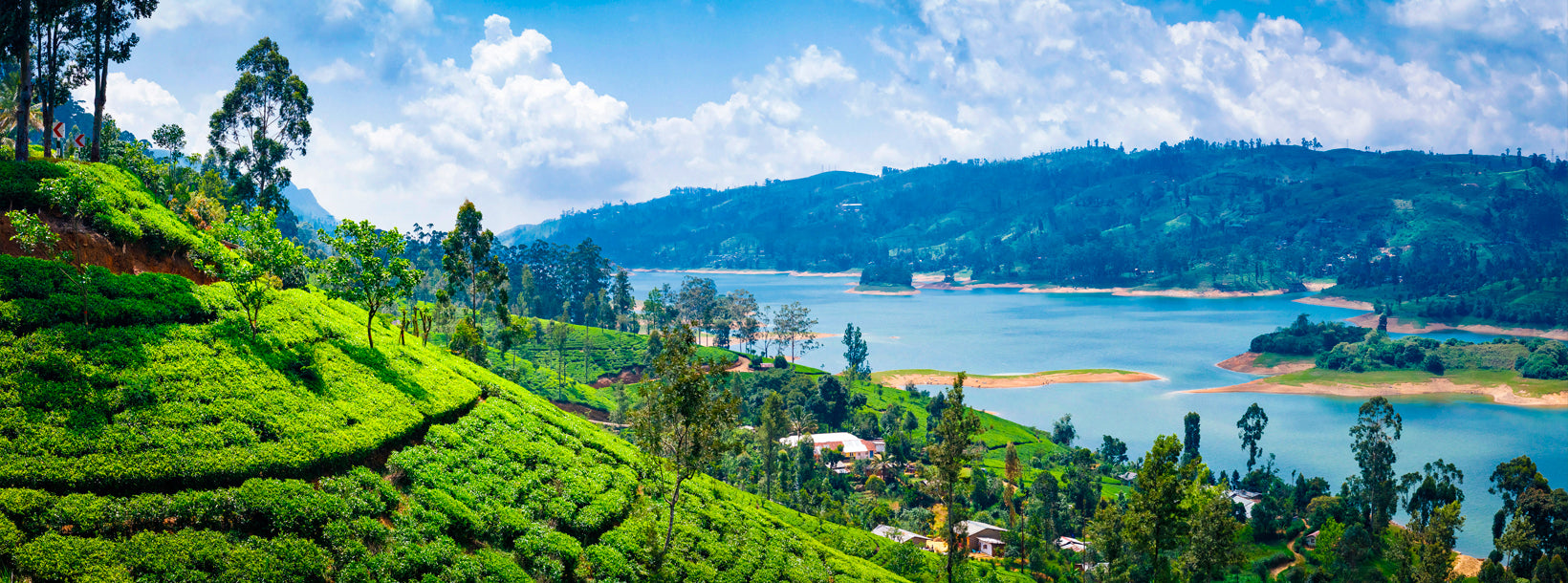
Kotmale sits in the heart of Sri Lanka's Central Province, cradled by mist-covered mountains that the ancient Sinhalese kingdoms deliberately kept forested to feed the rivers and irrigate the rice paddies of the valleys below. Today it is a highland region of remarkable contrasts: a modern hydroelectric reservoir hides the ruins of dozens of villages and temples beneath its surface, colonial-era tea estates terrace the slopes above, and a short drive connects travellers to some of the island's most dramatic scenery.

What is the history of Kotmale?

Kotmale's past is woven into the founding myths of the Sinhalese nation. According to tradition, the young prince Dutugamunu — who would later unify the island and become one of its most celebrated rulers — fled to Kotmale to escape the anger of his father, King Kavantissa. The rugged terrain made it a natural refuge, a role the region would play again and again through the centuries.

Perhaps most significantly, the Kandyan kings are said to have concealed the Sacred Tooth Relic of the Buddha in Kotmale during times of political crisis, most recently during the British annexation of the Kandyan Kingdom in 1815. That association with the relic lends the area a quiet spiritual weight that lingers even today, long after the original villages were transformed by modern development.

What is the Kotmale Dam and why was it built?

The Kotmale Dam is a rockfill dam constructed across the Kotmale Oya river as part of the Mahaweli Development Programme, Sri Lanka's largest irrigation and hydropower project. Construction began in August 1979 and the dam was formally commissioned in February 1985. Three turbines, each rated at 67 MW, give the station a combined installed capacity of around 201 MW, making it the second-largest hydroelectric facility in the country.

Beyond electricity generation, the reservoir created by the dam supplies water for irrigation downstream, supporting agriculture across the dry zone. The engineering achievement came at a cultural cost, however: the rising waters permanently submerged more than 57 villages, over 14 Ceylon tea estates, and around 54 ancient temples and religious sites. Thousands of families were resettled, and an entire layer of Kotmale's history sank beneath the reservoir.

What can you see at the Kotmale Reservoir?

Under ordinary conditions the reservoir presents a serene highland panorama — still green water reflecting the surrounding peaks, fishing boats dotting the surface, and cool breezes rolling off the hills. During extended dry spells, when water levels drop sufficiently, the past re-emerges. The ruins of the Kadadora Priyabimbaramaya temple — walls, columns, and carved Buddha statues — become visible, rising from the shallows like a scene from another era.

Several other shrines, including Thispane Vihara, Morape Devalaya, Othalawa Vihara, Pattini Devalaya, and Medagoda Vihara, are also said to lie beneath the water, though many of these structures have deteriorated over the decades of submersion. Witnessing the ruins is genuinely rare — it depends entirely on seasonal rainfall and reservoir management — but travellers who happen to visit during a dry period may find the sight deeply affecting.

What is Kadadora Priyabimbaramaya?

Before the reservoir was filled, Kadadora Priyabimbaramaya stood as an active Buddhist temple in the Kadadora area of the Nuwara Eliya District. The temple was abandoned as the waters rose following the dam's completion in 1985. When water levels are low enough for the ruins to surface, visitors have reported seeing sculpted Buddha images still standing in reasonable condition — a testament to the quality of the original stonework. Access is irregular and unpredictable; it is worth checking local conditions before making a special trip.

Where is Kadiyanlena Falls and how do I visit it?

Kadiyanlena Falls — also known locally as Ketabula Ella, after the nearby tea estate — drops approximately 25 metres in a single curtain over a rocky face. The waterfall sits between the small settlements of Kadiyanlena and Ketambulawa, along the Nawalapitiya–Kotmale road, and can be seen clearly from the road itself without any significant hiking. A traditional arch bridge carries the road over the river just above the falls, framing the view neatly.

The convenience of its roadside location makes Kadiyanlena Falls an easy stop for travellers moving between Kandy and the hill-country towns further south. The surrounding landscape — tea fields, eucalyptus groves, and mist-shrouded ridges — adds context to the falls and rewards a short pause.

What else is there to do near Kotmale?

The Kotmale region sits within easy reach of several highland destinations worth combining into a broader itinerary:

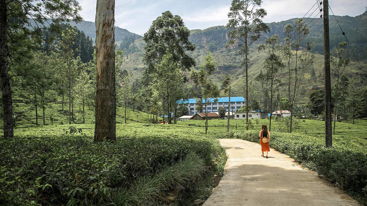
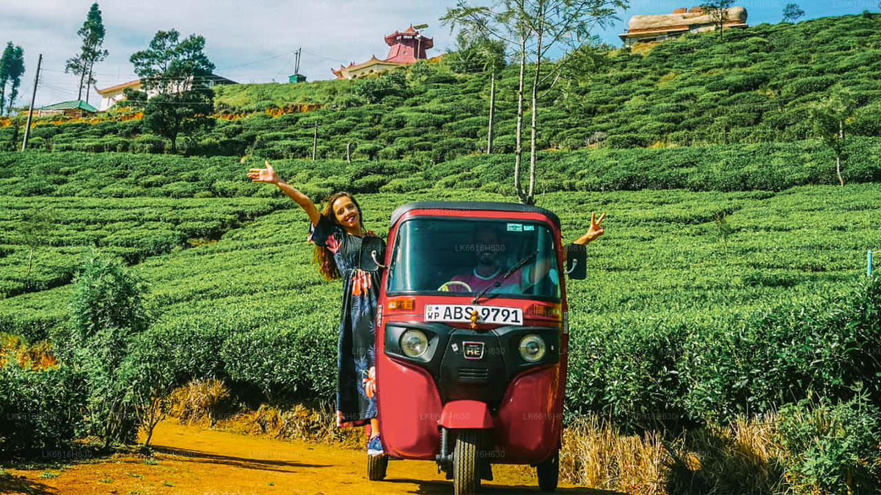
  • Tea estate visits: The hills around Kotmale are classic tea country. Bluefield Tea Gardens is one of the accessible estates in the broader hill-country belt, offering factory tours and tasting sessions.
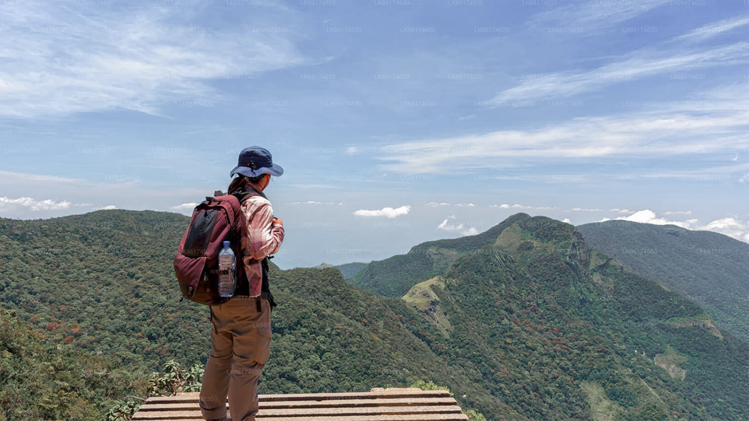
  • Horton Plains: The plateau of Horton Plains National Park, with its cloud forest and the cliff known as World's End, lies south of Kotmale and makes a logical full-day excursion.
  • Rawanagala: The dramatic rock outcrop of Rawanagala is within the wider Kotmale area and offers a moderately challenging hike with panoramic views of the reservoir and surrounding hills.
  • Ella: Continuing south-east, the hill town of Ella is a popular base for further highland exploration, with hiking trails and viewpoints of its own.

When is the best time to visit Kotmale?

The Central Province experiences two distinct wet seasons influenced by both monsoons. The inter-monsoon months of January to March and again August to September tend to offer the clearest skies and the most comfortable conditions for travel. April through June can bring heavy rainfall from the south-west monsoon, which, while good for the landscape's lushness, can make roads slippery and limit visibility.

For the rare opportunity to see the submerged temple ruins at the reservoir, visit during or shortly after an extended dry period — typically February or early March — when water levels are at their seasonal low. Local guesthouses and guides in the area will have current information on reservoir conditions.

How do I get to Kotmale from Colombo?

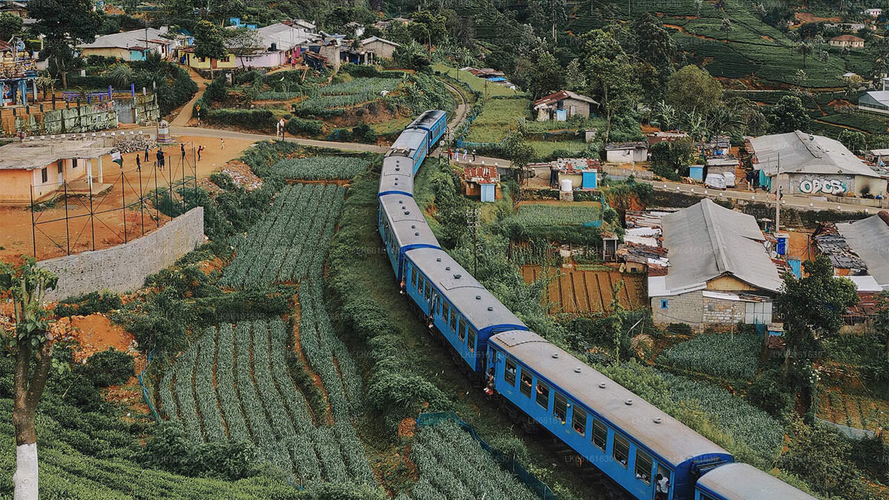
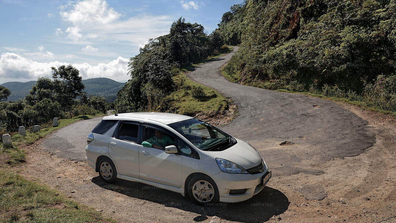
Kotmale lies roughly 150 kilometres from Colombo, typically reached in three to four hours by road depending on traffic and route. The most common approach is via the Kandy–Nuwara Eliya highway (A5), branching off toward Kotmale before reaching Nuwara Eliya town. A private vehicle or hired driver offers the most flexibility for exploring the dam, reservoir viewpoints, and roadside waterfalls at a comfortable pace. There is no direct rail connection to Kotmale itself, though the scenic Kandy–Badulla line passes through the highlands not far away.

Book this experience with Lakpura

Curated by our local team. Direct booking, instant confirmation.

Ask Lakpura® Agent