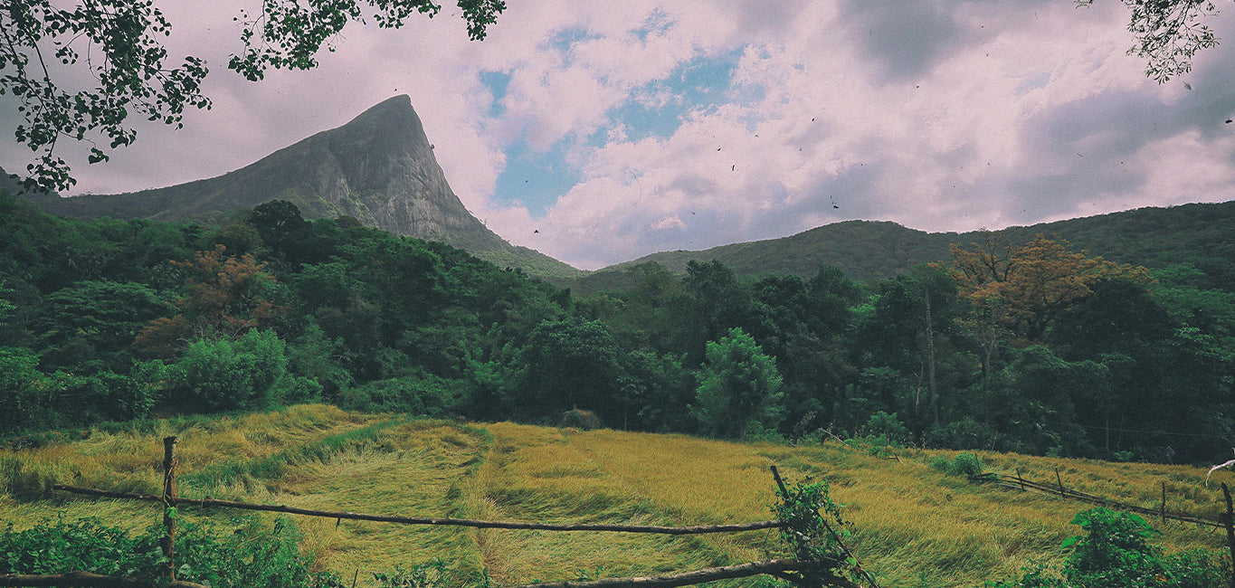
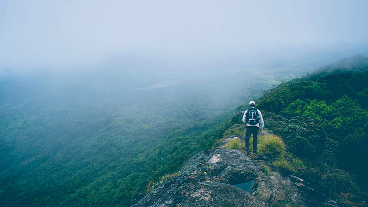
Gommolliya Peak rises to around 1,866 metres (6,122 feet) above sea level within the Knuckles Mountain Range — one of central Sri Lanka's most rewarding, and least crowded, highland trekking destinations. Part of a UNESCO World Heritage Site, the peak offers seasoned hikers a genuine wilderness experience: dense montane forest, rapidly shifting mist, and far-reaching views over the central highlands that few tourists ever see.
What makes Gommolliya Peak worth the trek?
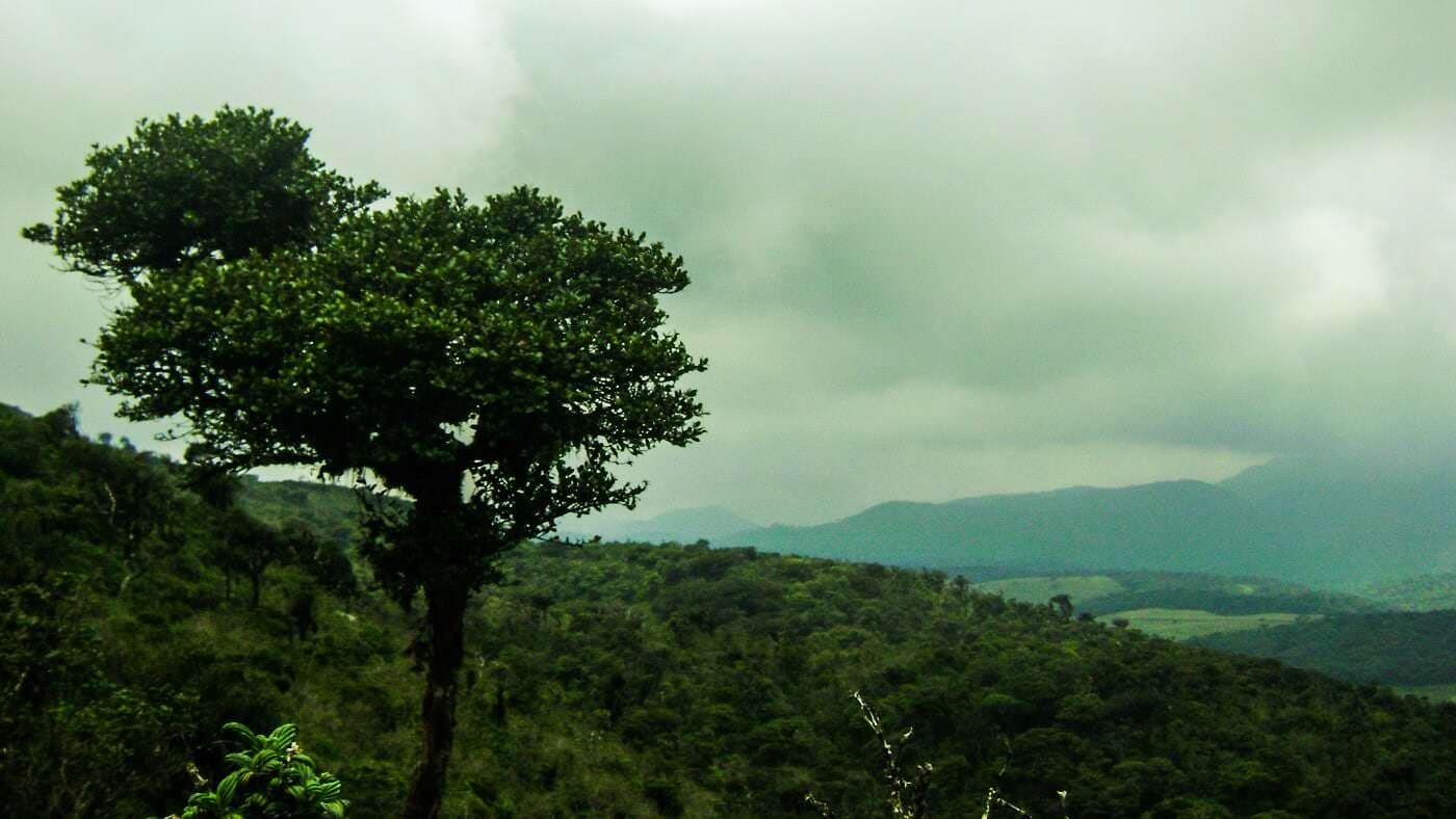
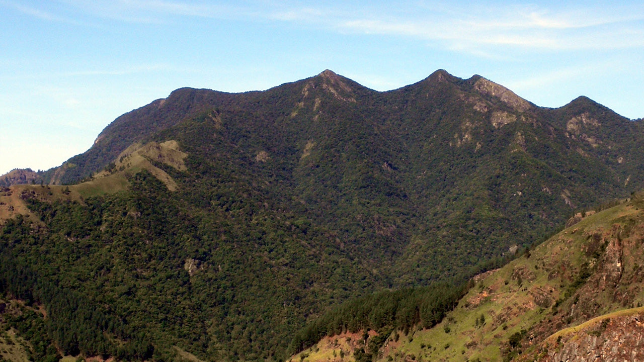
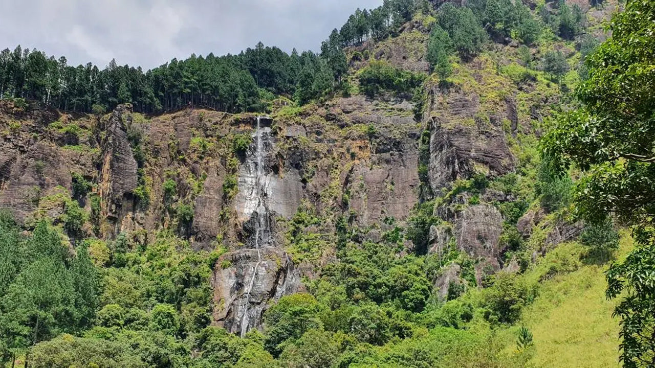
The Knuckles Range takes its English name from the silhouette of clenched knuckles that its ridgeline presents when viewed from the Kandy plains. Gommolliya is one of the higher summits in this chain of peaks and valleys, and its elevation means the landscape around it is quite different from the lowland terrain most visitors associate with Sri Lanka. Cloud forest drapes the upper slopes — a habitat where mosses, ferns, and orchids cling to every surface, and where the air stays cool and damp even on a clear day.
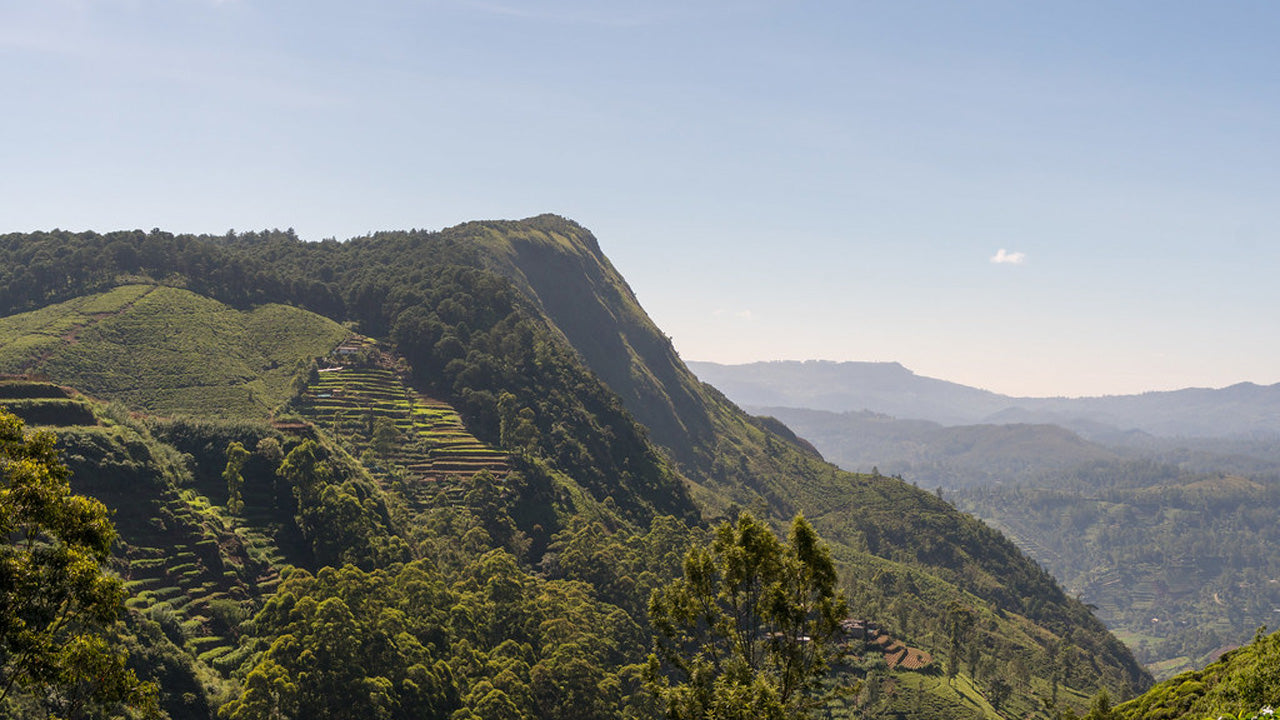
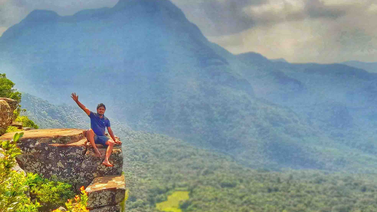
From the summit on a clear morning, trekkers can make out the Victoria Reservoir shimmering in the distance, the ridge of Hunnasgiriya, and on exceptional days the outline of Pidurutalagala — at 2,524 metres the highest point in Sri Lanka. The scale of the view is a useful reminder of just how compressed and varied Sri Lanka's topography is.
What wildlife and plants can I expect to find here?
The forests around Gommolliya sit within one of Sri Lanka's most biodiverse zones. The Knuckles Range as a whole shelters dozens of endemic plant species, and the canopy transitions from sub-montane forest on the lower slopes to cloud forest near the ridges. Hikers regularly encounter purple-faced langurs, wild boar, barking deer, and a wide range of endemic birds including the Sri Lanka whistling thrush and several flycatcher species.
The cloud forest habitat at higher elevations is particularly rare and ecologically sensitive. Stick to marked trails and avoid disturbing the understory vegetation — the leaf litter and mossy soil hold significant moisture that feeds the streams below.
How difficult is the hike to Gommolliya Peak?
The route to Gommolliya is considered challenging rather than technical. The ascent involves sustained steep sections, narrow ridge trails, and passages through thick undergrowth where the path can be indistinct. Total trekking time varies depending on your starting point and fitness level, but most groups plan for a full day. The terrain is not suited to casual day walkers in sandals — proper hiking boots with ankle support, trekking poles, and a waterproof layer are strongly recommended.
A local guide is not merely advisable but effectively essential. The forest trails in the Knuckles are not heavily waymarked, mobile signal is unreliable at altitude, and the weather can close in with little warning. Guides from the villages around Illukkumbura, Rattota, and Corbet's Gap know the terrain intimately and can read the cloud patterns that signal incoming rain.
When is the best time to visit Gommolliya Peak?
The Knuckles Range receives rainfall from both monsoons — the south-west monsoon between May and August, and the north-east monsoon between October and January — so there is no single dry season that perfectly covers the entire range. In practice, the clearest and most stable weather tends to fall between late January and April, when visibility from the summit is at its best and the trails are less waterlogged.
Avoid attempting the summit during periods of heavy rainfall, particularly during the height of the south-west monsoon, when trails become slippery and stream crossings can be hazardous. Early mornings almost always bring mist at this altitude, so plan your timing to reach the summit before the cloud cover builds around midday.
How do I get to Gommolliya Peak from Kandy?
Kandy, around 30–40 kilometres from the main access villages, is the logical base. From Kandy, the road runs through Matale and then up into the range via Rattota or Illukkumbura, depending on which trail approach you are taking. The roads into the Knuckles become narrow and rough in the upper sections — a four-wheel-drive vehicle is preferable, particularly in wet conditions. If you are arranging transport from Kandy, a private driver familiar with the hill roads makes the logistics considerably easier.
The nearest major transit point for visitors coming from Colombo or the south is Kandy, where the Kandy Tourist Information Center can point you toward registered guides and transport providers for the Knuckles area.
Where should I stay when trekking the Knuckles Range?
Accommodation in the Knuckles Range is deliberately low-key — village homestays and small guesthouses rather than resort hotels. Staying locally the night before an early summit attempt is far more practical than driving up from Kandy in the dark. The villages of Illukkumbura and Corbet's Gap both have simple but hospitable lodging options that cater specifically to trekkers.
For those who prefer a more comfortable base and are willing to drive in on the morning of the trek, Kandy's wider accommodation range — from boutique properties to established hotels — is accessible within an hour or two of the trailhead.
What conservation rules apply in the Knuckles Conservation Forest?
The Knuckles Conservation Forest is a protected area managed by the Department of Forest Conservation of Sri Lanka. Entry into the forest requires a permit, which is typically arranged through your registered guide or at the nearest forest office. Camping inside the forest requires an additional permit. Visitors should carry out all waste, avoid open fires, and refrain from collecting plants or disturbing wildlife. The protected status of the area is what keeps the forest intact — treating it accordingly is part of the bargain of visiting.
For context on how Sri Lanka's montane ecosystems compare across the island, the Horton Plains National Park and the Sinharaja Forest Reserve offer complementary highland and rainforest experiences that together give a rounded picture of Sri Lanka's remarkable ecological diversity.