Город Матале

Матале, часто пишущиеся как Матале, — это большой региональный город, расположенный в самом центре острова. Он находится в широкой плодородной долине на высоте 364 м (1194 фута) над уровнем моря. Это административная столица и крупнейший город района Матале в Центральной провинции Шри-Ланки. Он находится в 142 километрах (88 миль) от Коломбо и рядом с Канди. Город окружён горной цепью Накклс, чьи подножия были названы Уилтширом британцами.

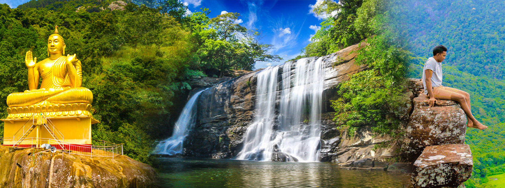
Матале — это город в горной местности Шри-Ланки. Горная цепь Накклс является важным ориентиром в Матале. Административный район Матале также включает в себя историческую Сигирийскую крепость, храм Алувихаре и пещерный храм Дамбулла. Окружающие подножия Накклс, когда-то известные как Уилтшир, усиливают живописную красоту региона. Это в основном сельскохозяйственная местность, где преобладает выращивание чая, каучука, овощей и специй.

Храм Алувихаре, расположенный на северной стороне города, является историческим местом, где Канон Пали был впервые полностью записан на листьях олы (пальмовых). Вблизи Алувихаре находятся многочисленные монастырские пещеры, в некоторых из которых можно увидеть прекрасные фрески.

About Central Province

The Central Province of Sri Lanka consists primarily of mountainous terrain. The province has an area of 5,674 km², and a population of 2,421,148. Some major towns include Kandy, Gampola (24,730), Nuwara Eliya and Bandarawela. The population is a mixture of Sinhalese, Tamil and the Moors.

Both the hill capital Kandy and the city of Nuwara Eliya are located within the Central Province as well as Sri Pada. The province produces much of the famous Ceylon tea, planted by the British in the 1860s after a devastating disease killed all the coffee plantations in the province. Central Province attracts many tourists, with hill station towns such as Kandy, Gampola, Hatton and Nuwara Eliya. Temple tooth or Dalada maligawa is the main sacred place in Centrel province.

The climate is cool, and many areas about 1500 meters often have chilly nights. The western slopes are very wet, some places having almost 7000 mm of rain per year. The eastern slopes are parts of the mid-dry zone as it is receiving rain only from North-Eastern monsoon. The Temperatures range from 24°C at Kandy to just 16°C in Nuwara Eliya, which is located 1,889 m above sea level. The highest mountains in Sri Lanka are located in the Central Province. The terrain is mostly mountainous, with deep valleys cutting into it. The two main mountain regions are the central massif and the Knuckles range to the east of Kandy.