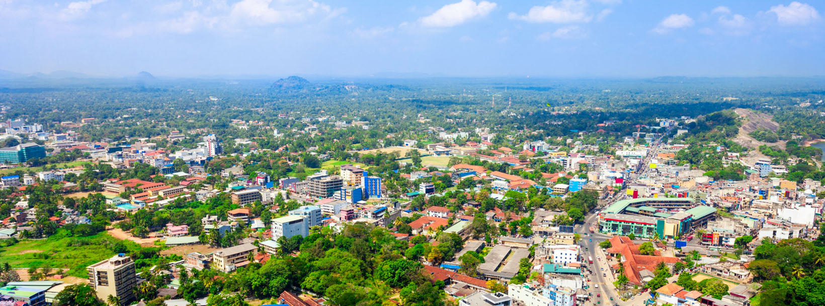
Дамбадения

Dambadeniya Dambadeniya Dambadeniya

Дамбадения (DMBD) — разрушенный древний город, расположенный в Северо-Западной провинции (Ваямба), Шри-Ланка, на главной дороге Курунегала–Негомбо. Он служил столицей Шри-Ланки в середине XIII века. Большая часть Дамбадении до сих пор покоится под землей на огромной укрепленной скале. Дамбадения находится примерно в 31 км от Курунегалы, современной столицы Северо-Западной провинции. Дамбадения расположена примерно в 4 км от Гириуллы.

Дамбадения, примерно в 30 км к юго-западу от Курунегалы, стала известной в середине XIII века.[1] Она была выбрана столицей королевства Шри-Ланка королем Виджаябаху III (1232–36). Суверенитет страны оказался под угрозой из-за вторжений, которые вытеснили Полоннаруву с позиции столицы. Виджаябаху, король династии Дамбадении, сражался с захватчиками и основал Дамбадению. На вершине скалы Дамбадения он построил укрепления, прочные стены и ворота. Город был защищен рвом, болотом и крепостными валами вокруг королевского дворца. Во время правления короля Паракрамабаху II (1236–70) Дамбадения достигла вершины своего величия. Безупречные поэтические шедевры короля Паракрамабаху II «Кависилумина» и «Висудди Марга Саннаса» ознаменовали поворотный момент в сингальской литературе. Эпоха Дамбадении стала причиной того, что сингальская литература не ограничивалась только живописью или надписями.

О районе Курунегала

Курунегала — это район в Северо-Западной провинции Шри-Ланки. Он занимает площадь 4812,7 км² (48 1270 гектаров) и состоит из 30 окружных секретариатов, 1610 подразделений Грама Ниладари и в общей сложности 4476 деревень. Он включает 14 избирательных округов, 2 муниципальных совета, 19 городских советов, 15 парламентских министров, 47 членов провинциального совета, 15 министров и 337 членов местных советов.

Учитывая географическое положение района Курунегала, он граничит с пятью районами. На севере — с районом Анурадхапура, на востоке — с районом Матале, на юге — с Гампахой и районом Кегалле, а на западе — с районом Путталам. Долготное расположение района — северная широта 228–333 и восточная долгота 104–178.

Dambadeniya Dambadeniya Dambadeniya

About Kurunegala District

Kurunegala is the capital of the Wayamba Province in Sri Lanka and the Kurunegala District.Kurunegala was a royal capital for only 50 years, from the end of the 13th century to the start of the next, though even before this it was strategically placed in the middle of other majestic strongholds such as Yapahuwa to the north, Dambadeniya to the south and Panduwasnuwara in the east. Ethagala a rock reaching 316 meters, towers over the town, which is located at an altitude of 116 meters above sea level. The shape of Ethagala resembles an Elephant. A transport hub, it has a railway station, and several main roads linking important parts of the country.Kurunegala is situated about 94 km from Colombo, and 42 km from Kandy.

Most of Kurunegala's residents belong to the Sinhalese majority. Other ethnic minorities include the Sri Lankan Moors, Sri Lankan Tamils, Burghers and Malays. Residents from ethnic minorities live in all parts of the city, however, sizeable communities of Moors and Tamils also live in the areas of Teliyagonna and Wilgoda.

About North Western Province

North Western Province is a province of Sri Lanka. The districts of Kurunegala and Puttalam formulate North Western or Wayamba. Its capital is Kurunegala, which has a population of 28,571. The province is known mainly for its numerous coconut plantations. Other main towns in this province are Chilaw (24,712) and Puttalam (45,661), which are both small fishing towns. The majority of the population of Wayamba province is of Sinhalese ethnicity. There is also a substantial Sri Lankan Moor minority around Puttalam and Sri Lankan Tamils in Udappu and Munneswaram. Fishing, prawn farming and rubber tree plantations are other prominent industries of the region. The province has an area of 7,888 km² and a population of 2,184,136 (2005 calculation).

Wayamba is the third largest paddy producing area in Sri Lanka .Wayamba has a highly developed agricultural economy, growing a variety of fruits and vegetables, flowering plants, spices, oil-seeds in addition to the traditional plantation crops such as Coconut, Rubber and Rice. Rich soils and varied climate give Wayamba a potential for growing of virtually any crop.

In Wayamba or North western province, home for ancient Buddhist rock temples, magnificent citadels Panduwasnuwara, Dambadeniya, Yapahuwa and Kurunegala. Impressive remains of those citadels, palaces, Buddhist temples and monasteries provide exciting sight seeing to the visitors.