The Point Pedro Lighthouse, situated at the northernmost tip of Sri Lanka in the town of Point Pedro, Jaffna District, is a significant maritime landmark with a rich history.
Overview
Location: Point Pedro, Northern Province, Sri Lanka
Year Built: 1916 by the British colonial administration
Structure: A 32-meter (105 feet) tall cylindrical masonry tower, painted white, featuring a balcony and lantern
Light Characteristic: Flashing white every 5 seconds (Fl W 5s)
Range: 10 nautical miles
Historical Context
Constructed during the British colonial era, the lighthouse served as a navigational aid for vessels traversing the northern coast of Sri Lanka. Its strategic position marks the transition from the Bay of Bengal to the Palk Strait. During the Sri Lankan Civil War, access to the lighthouse was restricted due to security concerns. Post-conflict, the area has been reopened to the public, although the lighthouse itself remains within a Sri Lanka Navy base and is not accessible for climbing
Current Status
Today, the lighthouse is overshadowed by a large naval communication tower. The original lighting apparatus has been destroyed, and the structure is reportedly in a state of disrepair, with broken staircases and covered lantern areas . Despite this, the lighthouse stands as a historical monument, reflecting the maritime heritage of the region.
Visiting Information
Access: While the lighthouse itself is within a restricted naval area, visitors can view it from the surrounding grounds. Photography may be prohibited due to security reasons .
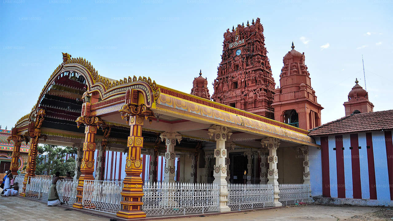
Nearby Attractions: The adjacent beach offers opportunities for relaxation and picnics. Additionally, the nearby Vallipuram Kovil and Thera Moodi Madam are notable cultural sites
Travel Tips: Point Pedro is approximately 34 km from Jaffna, accessible via the Jaffna-Point Pedro Road. The journey offers scenic views of the northern Sri Lankan landscape.