Dambulla City
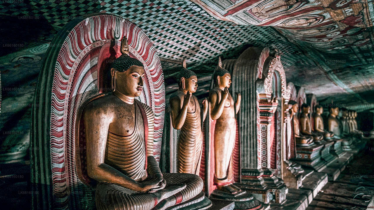
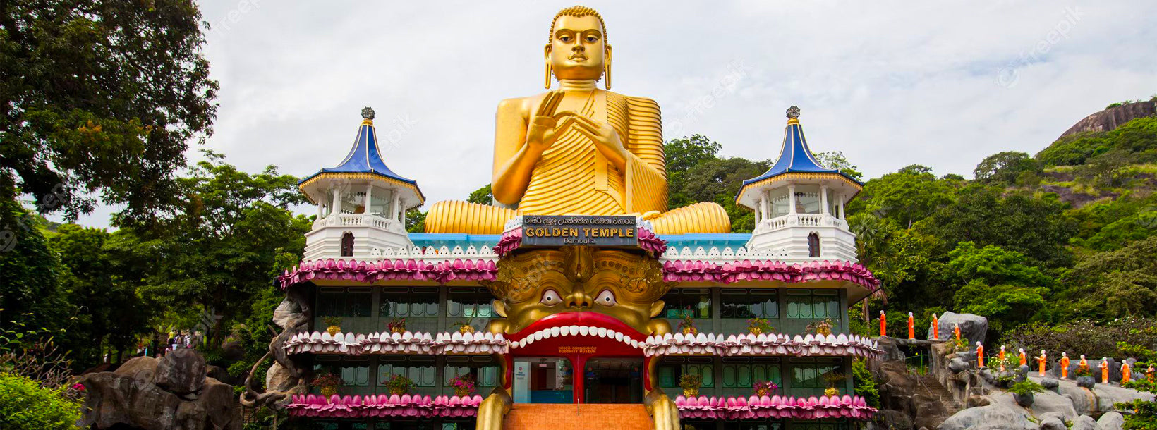
Journey into the heart of cultural splendor in Dambulla, where ancient history meets modern exploration. Uncover the marvels of the UNESCO-listed Dambulla Cave Temple, meander through vibrant markets, and savor the unique fusion of tradition and innovation in this enchanting Sri Lankan town.
バンカトゥワ
イッバンカトゥワの巨石墓群は、ガレウェラDS、スリランカにあるイッバンカトゥワ・ウェワの近くに位置する古代の埋葬地です。この遺跡は、スリランカの巨石文化に属する先史時代および原史時代に属すると考えられており、国内で発見された数多くの古代埋葬地の一つとされています。この場所は、クルネーガラ–ダンブッラ道路沿いにあり、ダンブッラの町の南西約5キロに位置しています。現在、この墓地はスリランカの考古学的保護区域に指定されています。
イッバンカトゥワの埋葬地は13ヘクタールの広さにわたり、巨石文化の伝統に属する石棺型の墓で構成されています。元考古学委員であるラジャ・デ・シルバ博士は、1970年にこの埋葬地で初めて発掘調査を行いました。その後、1980年代後半には、考古学大学院研究所、中央文化基金、そしてドイツのKAVA(一般および比較考古学委員会)を含む国内外の機関が、1988年と1990年に2回の発掘を実施しました。その結果、21の埋葬室の集まりが発見され、現地で見つかった木炭の放射性炭素年代測定により、この遺跡が紀元前600年頃のものであることが判明しました。
2015年には、中央文化基金がイッバンカトゥワ埋葬地の調査を実施しました。この調査では、21の埋葬室群のすぐ西側にある10m×10mの区域が発掘されました。土壌を取り除いた結果、さらに47の埋葬が発見され、そのうち26は遺灰を収めた石製の壺であり、「石壺墓」として知られています。
これらの埋葬は、円形または長方形の部屋で構成されており、シンプルな花崗岩の板で作られていました。一部の部屋は蓋石で覆われており、大小さまざまな陶器の容器が2〜10個ほど置かれ、その中に遺灰が納められていました。これらの陶器は形や大きさが異なり、赤色または黒色の粘土で作られた2種類がありました。さらに、銅や鉄で作られた金属器具や、さまざまな形と素材のビーズも発見されています。
発掘で発見された47の埋葬のうち、21は遺灰を収めた陶製の壺でした。これらは壺墓と呼ばれます。壺は大小さまざまで、粘土で作られており、一部には鉢状の蓋が付いていました。また、いくつかの壺の中からは小さな容器も見つかりました。
イッバンカトゥワ遺跡は、スリランカで発見された中で最大の埋葬地です。石棺墓の広がりから、この遺跡の範囲はおよそ700m×400mに及びます。埋葬地から遠くないポルワッタで発見された人類の居住地は、この国において初めて確認された、初期鉄器時代の居住地とそれに対応する埋葬地の組み合わせの例です。
About Matale District
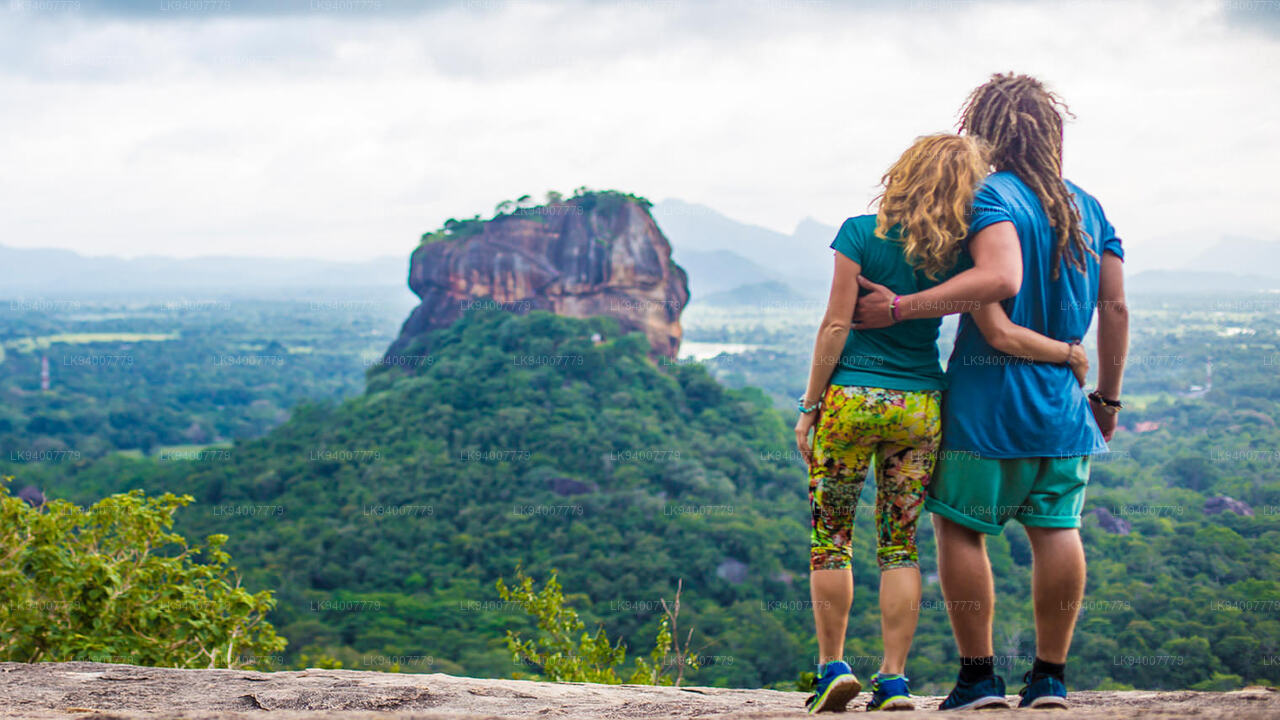
Matale is a town in the hill country of Sri Lanka. The Knuckles Mountain Range is a special landmark of Matale.The Matale administrative district also contains the historic Sigiriya rock castle, Aluvihare Temple and Dambulla Cave Temple . Surrounding the town are the Knuckles foothills called Wiltshire. It is a mainly agricultural area, where tea, rubber, vegetable and spice cultivation dominate.
The Aluvihare Temple, on the North side of the town, is the historic location where the Pali Canon was first written down completely in text on ola (palm) leaves. Situated near Aluvihare are numerous monastery caves, some of which exhibit fine frescoes.
About Central Province
The Central Province of Sri Lanka consists primarily of mountainous terrain. The province has an area of 5,674 km², and a population of 2,421,148. Some major towns include Kandy, Gampola (24,730), Nuwara Eliya and Bandarawela. The population is a mixture of Sinhalese, Tamil and the Moors.
Both the hill capital Kandy and the city of Nuwara Eliya are located within the Central Province as well as Sri Pada. The province produces much of the famous Ceylon tea, planted by the British in the 1860s after a devastating disease killed all the coffee plantations in the province. Central Province attracts many tourists, with hill station towns such as Kandy, Gampola, Hatton and Nuwara Eliya. Temple tooth or Dalada maligawa is the main sacred place in Centrel province.
The climate is cool, and many areas about 1500 meters often have chilly nights. The western slopes are very wet, some places having almost 7000 mm of rain per year. The eastern slopes are parts of the mid-dry zone as it is receiving rain only from North-Eastern monsoon. The Temperatures range from 24°C at Kandy to just 16°C in Nuwara Eliya, which is located 1,889 m above sea level. The highest mountains in Sri Lanka are located in the Central Province. The terrain is mostly mountainous, with deep valleys cutting into it. The two main mountain regions are the central massif and the Knuckles range to the east of Kandy.