ガルギリヤ山

Galgiriya Mountain Galgiriya Mountain Galgiriya Mountain

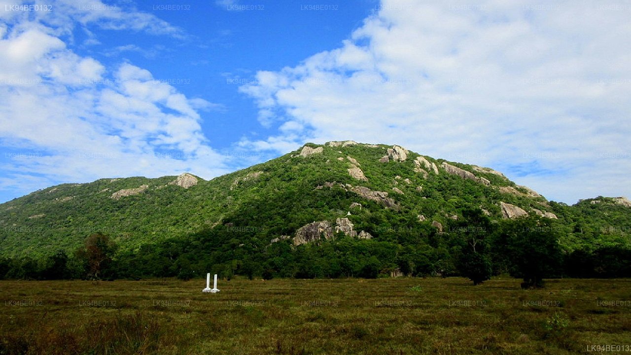
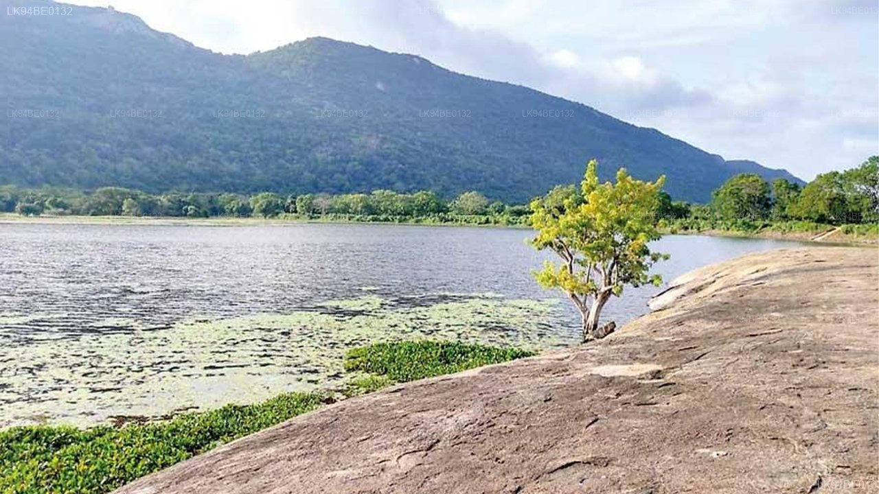
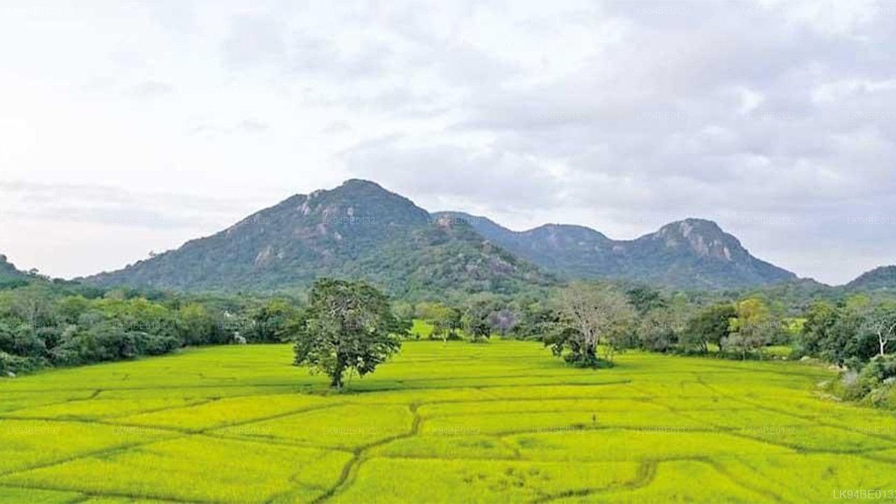
11 kmの長さを持つガルギリヤ山は、スリランカで最も長い山として知られています。この山は、ガルガムワ選挙区のアハトウェワ行政事務所内に位置し、クルネガラ地区の管轄下にあります。この山には多くの民間伝承が結びついています。

特に、サリヤとアショカマラの物語はガルギリヤ山を舞台に展開されます。歴史的には、スリランカの王デュトゥゲムヌの息子であるサリヤ王子がアショカマラと結婚し、ガルギリヤ山に住むようになったとされています。この歴史を支持する数多くの証拠は、現在でもガルギリヤ山に残されています。かつてサリヤとアショカマラの愛の物語が展開された場所と考えられていたガルギリヤ山は、現在ではアラニャ・セナサナの僧侶(森林に住む僧侶)が瞑想を行う聖地となっています。歴史的記録は、サリヤ王子がこの地域を地元のリーダーとして支配し、農業を促進するために池や用水路を建設したことを確認しています。今日この地域を訪れる人々は、彼の努力から生まれた農業の復興を見ることができます。

ガルギリヤ山は、サリヤ王子の故郷であり、地元の支配者としてこの地域を非常に繁栄させました。岩の洞窟は、アラハット・テラ(悟りを開いた僧侶)がここに住んでいたことを証明しています。

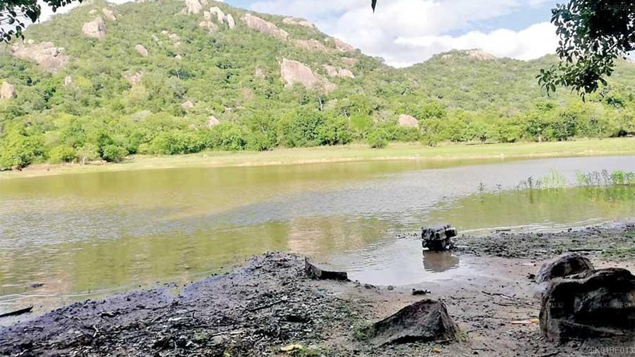
この山では、これらの岩の洞窟に釜が彫られており、また石の碑文も、悟りを開いた僧侶たちがこの広大な森林に住んでいたことを証明しています。ガルギリヤ山の聖なる場所は、1962年にアラハポラ・ヴィパッシ・テラによって発見されました。それまで、この地域は密林に覆われていました。ヴィパッシ・テラはこの場所に到着し、瞑想に専念しました。その後、他の僧侶たちも到着し、瞑想を行い始めました。それ以来、この場所はアラニャ・セナサナ(森林修道院)となり、現在では約12人の僧侶がガルギリヤ山のアラニャ・セナサナに住み、瞑想を行っています。この森林修道院は約60〜70エーカーの土地を持ち、20以上の岩の洞窟があります。この地域には4つの主要な石碑がありますが、ほとんどはすでに破壊され、碑文は消されています。さらに、岩の洞窟には過去に悟りを開いた僧侶たちが住んでいたことを示す碑文もあります。石の碑文や洞窟の碑文には、サリヤ王子がこの山と岩の洞窟をプサデヴァ・アラハット・テラに提供したことが記されています。現在、この森林修道院は考古学部に登録されています。石碑や洞窟の碑文についての研究が行われた一方で、他の研究は行われていないと、ガルギリヤ・カンダ・アラニャ・セナディパティであるヴィタラナガマ・スメダ・テラは述べています。

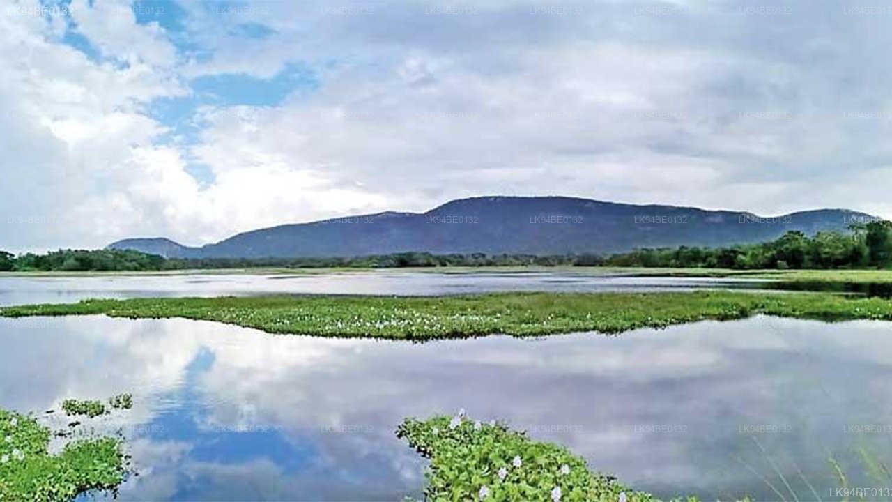
この地域は、ガルギリヤ山を基にしたサス・コララで最も成功したタンクのカスケードシステムも特徴としています。ガルギリヤ山から湧き出る水源を使って、この地域には現在も継続的に供給されている約420のタンクがあります。民俗学者のカルナラトネ・マハガマララは、ガルギリヤ山の水がタボワ貯水池まで流れていると言っています。

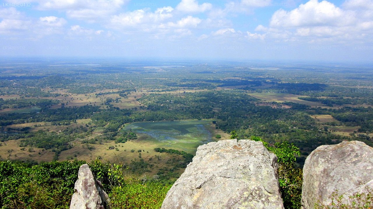
ガルギリヤ山のもう一つの特筆すべき特徴は、山の頂上に2つのタンクがあることです。この特徴は、島国の他のどの山にも匹敵しません。両方のタンクは、サリヤ王子によって建設されたと考えられています。この山の最初のタンクはアハス・ウェワで、マリガテンナの近くに位置しています。2番目のタンクは、アハス・ウェワの水が再び出てくる場所に建設されています。
Galgiriya Mountain Galgiriya Mountain Galgiriya Mountain

About Kurunegala District

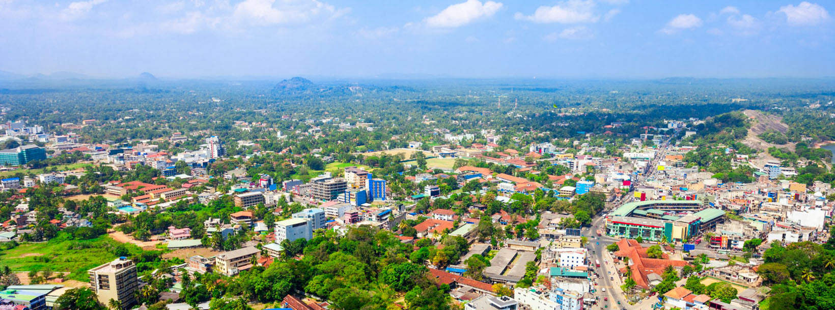
Kurunegala is the capital of the Wayamba Province in Sri Lanka and the Kurunegala District.Kurunegala was a royal capital for only 50 years, from the end of the 13th century to the start of the next, though even before this it was strategically placed in the middle of other majestic strongholds such as Yapahuwa to the north, Dambadeniya to the south and Panduwasnuwara in the east. Ethagala a rock reaching 316 meters, towers over the town, which is located at an altitude of 116 meters above sea level. The shape of Ethagala resembles an Elephant. A transport hub, it has a railway station, and several main roads linking important parts of the country.Kurunegala is situated about 94 km from Colombo, and 42 km from Kandy.

Most of Kurunegala's residents belong to the Sinhalese majority. Other ethnic minorities include the Sri Lankan Moors, Sri Lankan Tamils, Burghers and Malays. Residents from ethnic minorities live in all parts of the city, however, sizeable communities of Moors and Tamils also live in the areas of Teliyagonna and Wilgoda.

About North Western Province

North Western Province is a province of Sri Lanka. The districts of Kurunegala and Puttalam formulate North Western or Wayamba. Its capital is Kurunegala, which has a population of 28,571. The province is known mainly for its numerous coconut plantations. Other main towns in this province are Chilaw (24,712) and Puttalam (45,661), which are both small fishing towns. The majority of the population of Wayamba province is of Sinhalese ethnicity. There is also a substantial Sri Lankan Moor minority around Puttalam and Sri Lankan Tamils in Udappu and Munneswaram. Fishing, prawn farming and rubber tree plantations are other prominent industries of the region. The province has an area of 7,888 km² and a population of 2,184,136 (2005 calculation).

Wayamba is the third largest paddy producing area in Sri Lanka .Wayamba has a highly developed agricultural economy, growing a variety of fruits and vegetables, flowering plants, spices, oil-seeds in addition to the traditional plantation crops such as Coconut, Rubber and Rice. Rich soils and varied climate give Wayamba a potential for growing of virtually any crop.

In Wayamba or North western province, home for ancient Buddhist rock temples, magnificent citadels Panduwasnuwara, Dambadeniya, Yapahuwa and Kurunegala. Impressive remains of those citadels, palaces, Buddhist temples and monasteries provide exciting sight seeing to the visitors.