Adam's Bridge Marine National Park
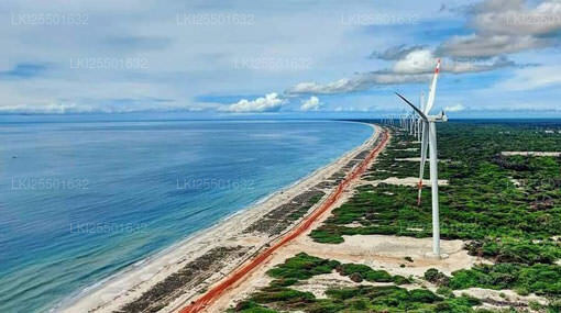
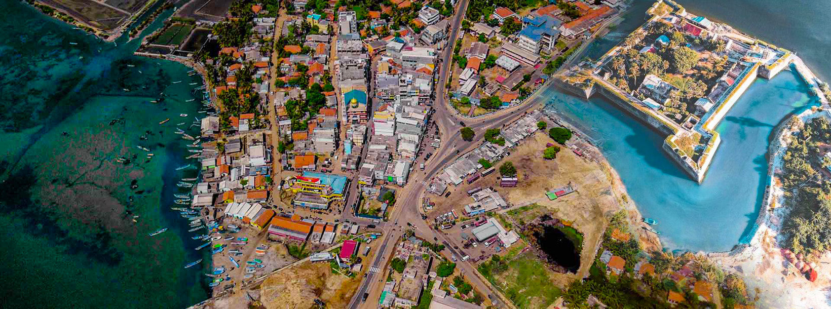
Adam's Bridge Marine National Park is a unique protected marine area located between the northwestern coast of Sri Lanka and India. It forms part of the chain of limestone shoals and sandbanks known as Adam's Bridge, creating a shallow and ecologically rich marine environment in the Gulf of Mannar.
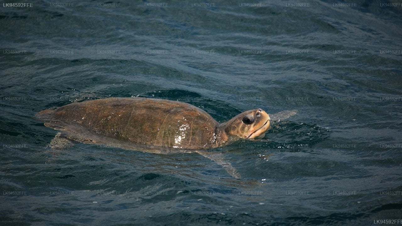
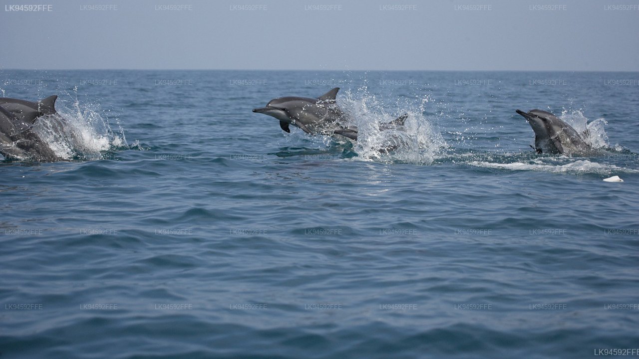
The park supports diverse marine ecosystems including seagrass beds, coral formations, and shallow coastal waters that are vital habitats for fish, crustaceans, and endangered species such as dugongs. These ecosystems play an important role in maintaining marine biodiversity and supporting traditional fishing communities.
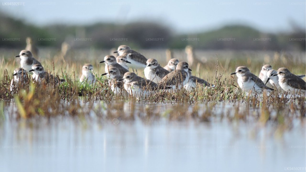
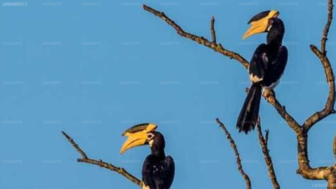
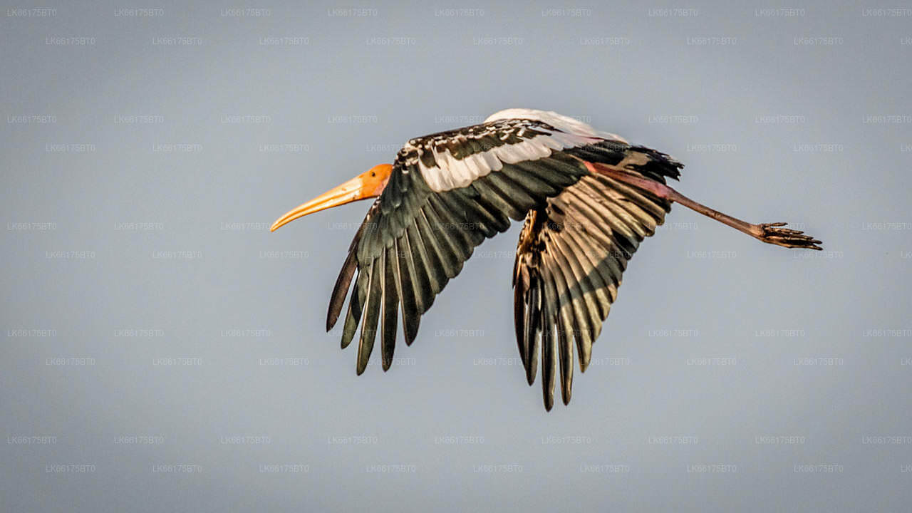
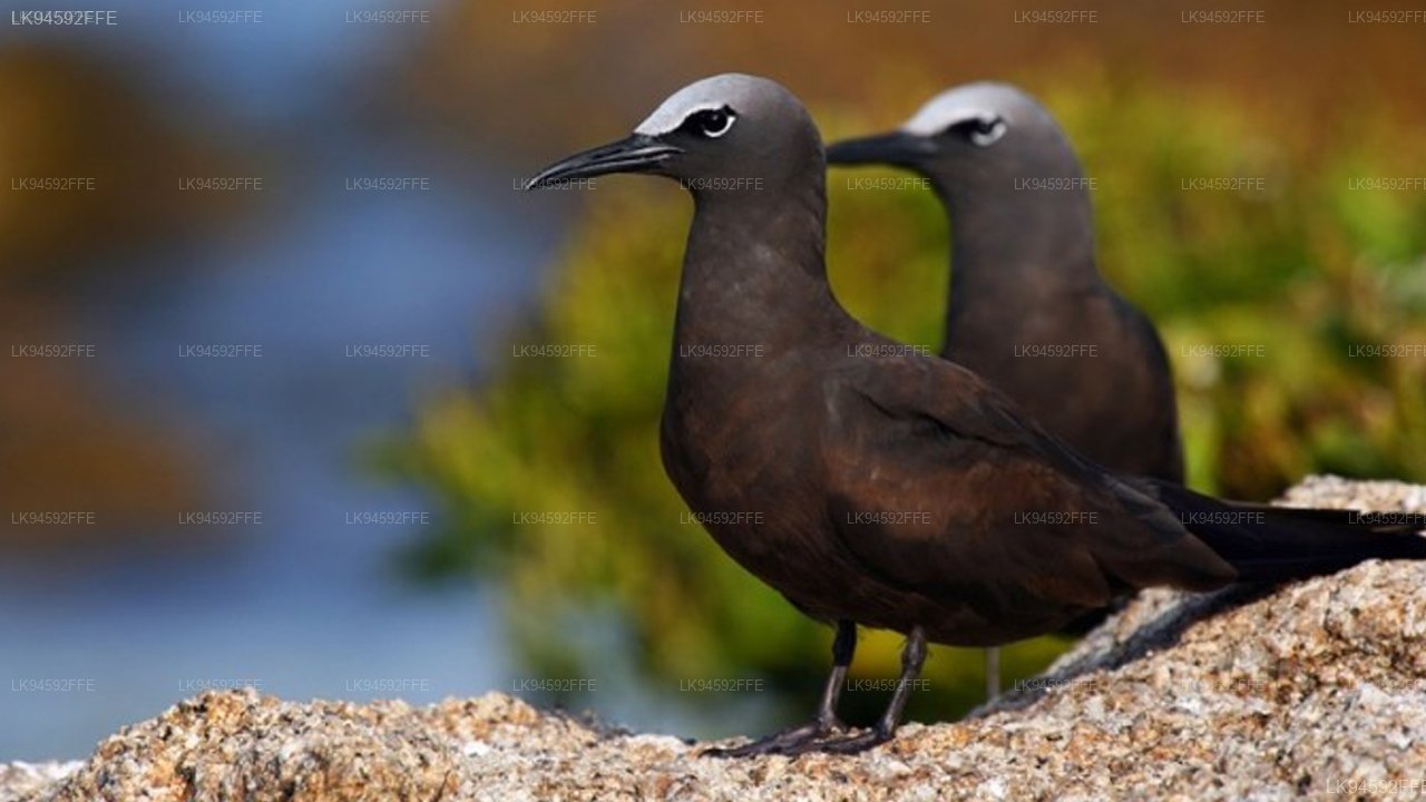
Visitors to the area can observe the distinctive landscape of sandbanks and shallow seas, along with birdlife and coastal vegetation. The region offers opportunities for nature observation and understanding the ecological importance of marine conservation in a relatively undisturbed setting.
The best time to visit Adam's Bridge Marine National Park is from May to September, when sea conditions are generally calm in the northwestern region. Accessible from Mannar and nearby coastal areas, the park provides a unique experience of Sri Lanka's marine ecosystems and natural coastal formations.