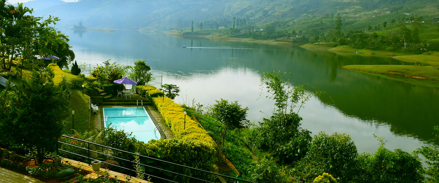
Città di Watawala

Watawala Watawala Watawala

Watawala è un villaggio in Sri Lanka. Si trova nella provincia centrale.

Informazioni sul distretto di Nuwara Eliya

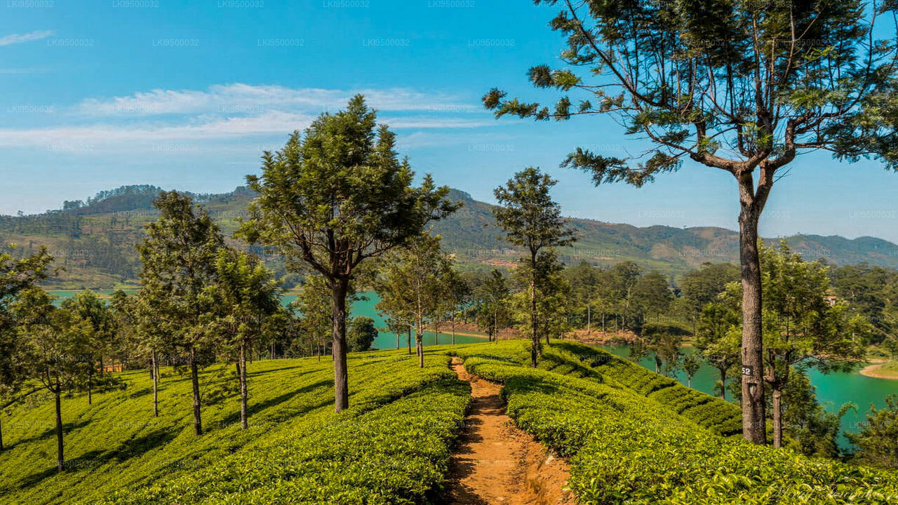
Il distretto di Nuwara Eliya è un distretto nella provincia centrale, Sri Lanka, centrato sulla città turistica di Nuwara Eliya. Il suo nome significa "città sulla pianura" o "città della luce". La città è la capitale amministrativa del distretto di Nuwara Eliya, con un paesaggio pittoresco e un clima temperato. Si trova ad un'altitudine di 1.868 m (6.128 piedi) ed è considerato il luogo più importante per la produzione di tè a Sri Lanka. La città è dominata da Pidurutalagala, la montagna più alta di Sri Lanka. Nuwara Eliya è nota per il suo clima temperato e fresco – la zona più fredda di Sri Lanka.

Informazioni sulla provincia centrale

La provincia centrale si trova nelle colline centrali di Sri Lanka ed è composta da tre distretti amministrativi: Kandy, Matale e Nuwara-Eliya. La superficie della provincia è di 5.575 km², pari all'8,6% della superficie totale di Sri Lanka. La provincia si trova tra le latitudini 6,6°-7,7° nord e le longitudini 80,5°-80,9° est. L'altitudine nella provincia varia da 600 piedi a oltre 6000 piedi sopra il livello del mare. La provincia confina a nord con la provincia centrale-nord, ad est con il fiume Mahaweli, a sud con il fiume Uma Oya e le catene montuose del Adam’s Peak, Kirigalpotta e Thotapala, e a ovest con le catene montuose di Dolosbage e Galagedera.

Watawala Watawala Watawala

About Nuwara Eliya District

Nuwara Eliya is a town of central province in Sri Lanka. It is located at an altitude of 1,868 m (6,128 ft) in the central highlands and is considered one of the most important locations for Tea production in Sri Lanka. The town is overlooked by Pidurutalagala, the highest mountain in Sri Lanka. Due to the high altitude, Nuwara Eliya has a much cooler climate than the lowlands of Sri Lanka, with a mean annual temperature of 16 °C. But the temperature changes and sometimes it can be like 3°C. In the winter months it is quite cold at night, and there can even be frost. Although it rapidly warms up as the tropical sun climbs higher during the day.

About Central Province

The Central Province of Sri Lanka consists primarily of mountainous terrain. The province has an area of 5,674 km², and a population of 2,421,148. Some major towns include Kandy, Gampola (24,730), Nuwara Eliya and Bandarawela. The population is a mixture of Sinhalese, Tamil and the Moors.

Both the hill capital Kandy and the city of Nuwara Eliya are located within the Central Province as well as Sri Pada. The province produces much of the famous Ceylon tea, planted by the British in the 1860s after a devastating disease killed all the coffee plantations in the province. Central Province attracts many tourists, with hill station towns such as Kandy, Gampola, Hatton and Nuwara Eliya. Temple tooth or Dalada maligawa is the main sacred place in Centrel province.

The climate is cool, and many areas about 1500 meters often have chilly nights. The western slopes are very wet, some places having almost 7000 mm of rain per year. The eastern slopes are parts of the mid-dry zone as it is receiving rain only from North-Eastern monsoon. The Temperatures range from 24°C at Kandy to just 16°C in Nuwara Eliya, which is located 1,889 m above sea level. The highest mountains in Sri Lanka are located in the Central Province. The terrain is mostly mountainous, with deep valleys cutting into it. The two main mountain regions are the central massif and the Knuckles range to the east of Kandy.