纳马尔·乌亚纳

Namal Uyana Namal Uyana Namal Uyana

Jathika Namal Uyana 是斯里兰卡最大铁木森林和亚洲的粉色石英山。铁木树是斯里兰卡的特有植物,重新种植的森林面积超过260英亩。根据考古学家的发现,这个历史性地点的粉色石英已有超过5.5亿年的历史。Namal Uyana 是一片极其罕见的森林,公元8世纪开始以铁木树重新种植,从德瓦南皮雅提萨国王开始,到达普拉四世国王结束。Namal Uyana 在德瓦南皮雅提萨国王治下的8世纪是佛教僧侣的避难所。后来,这里曾作为监狱使用,刑罚是种植Na树。在达普拉国王时期,它被宣布为人类的庇护所。这个独特的自然景点大约15年前由佛教僧侣Venerable Wanawasi Rahula Thero引起了全球的关注。

Jathika Namal Uyana 距离斯里兰卡马达图加马交叉口7公里,位于科伦坡-阿努拉德普勒高速公路上。铁木森林是斯里兰卡的一个独特森林,铁木树在260英亩的森林中占主导地位。Namal Uyana 位于斯里兰卡的干旱区。在Na树森林或Namal Uyana中,树木为所有在其阴影下生长的小型药用植物提供庇荫,防止强烈的阳光,给游客一种置身于凉爽环境中的感觉,仿佛在斯里兰卡最凉爽的地方。植物学上,Na树被称为 Mesua Ferara,英文名称为 Iron Wood Tree(铁木树)。Na树的所有部分在斯里兰卡都用于草药冥想。这种重要的树木原产于斯里兰卡、印度、马来西亚、缅甸、泰国和巴布亚新几内亚。它被指定为斯里兰卡的国树。佛教徒和其他宗教对Na树有着重要的宗教价值。

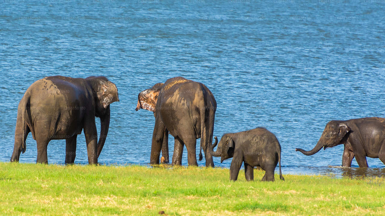
根据生物学家的说法,Namal Uyana 的重要性在于它拥有102种热带植物,其中82种为药用植物,分布在260英亩的花园和周围的森林中。公园及其周边栖息着18种鸟类和多种哺乳动物,包括大象、豹、猴子和鹿。

Na 森林和生物多样性并不是这个地方唯一的特色。Namal Uyana 的粉色石英山脉是亚洲最大的粉色石英山脉。尽管Namal Uyana 最近被宣布为国家遗产,由野生动物保护部门(DWLC)管理,但近年来它已在斯里兰卡人中变得非常流行。这条由7座山脉组成的山脉位于海拔180到300米之间。根据考古研究,粉色石英的历史超过550百万年。从整体视角来看,山顶部分看起来雾气弥漫,粉色与白雾交织在一起,给人一种令人震撼的视觉效果,区别于其他山脉。如果深入探索这条山脉的多样性,将会是一次令人惊叹的体验。

有一些古老的地方展示了Jathika Namal Uyana的悠久历史。

  • Purana Namal Seya。
  • Bodhigaraya。
  • Pilimageya。
  • Awasageya。
  • Simamalakaya。
  • Padhanagara。
  • Galphana。
  • Galpath

About Matale District

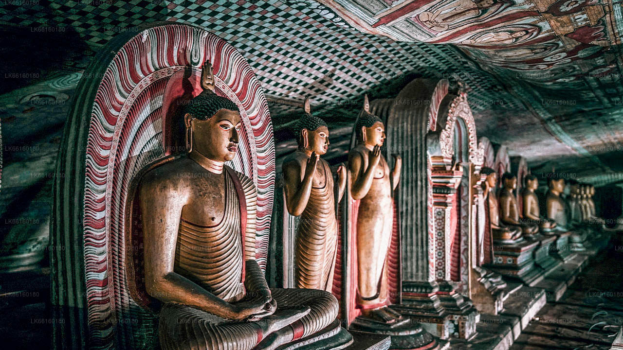
Matale is a town in the hill country of Sri Lanka. The Knuckles Mountain Range is a special landmark of Matale.The Matale administrative district also contains the historic Sigiriya rock castle, Aluvihare Temple and Dambulla Cave Temple . Surrounding the town are the Knuckles foothills called Wiltshire. It is a mainly agricultural area, where tea, rubber, vegetable and spice cultivation dominate.

The Aluvihare Temple, on the North side of the town, is the historic location where the Pali Canon was first written down completely in text on ola (palm) leaves. Situated near Aluvihare are numerous monastery caves, some of which exhibit fine frescoes.

About Central Province

The Central Province of Sri Lanka consists primarily of mountainous terrain. The province has an area of 5,674 km², and a population of 2,421,148. Some major towns include Kandy, Gampola (24,730), Nuwara Eliya and Bandarawela. The population is a mixture of Sinhalese, Tamil and the Moors.

Both the hill capital Kandy and the city of Nuwara Eliya are located within the Central Province as well as Sri Pada. The province produces much of the famous Ceylon tea, planted by the British in the 1860s after a devastating disease killed all the coffee plantations in the province. Central Province attracts many tourists, with hill station towns such as Kandy, Gampola, Hatton and Nuwara Eliya. Temple tooth or Dalada maligawa is the main sacred place in Centrel province.

The climate is cool, and many areas about 1500 meters often have chilly nights. The western slopes are very wet, some places having almost 7000 mm of rain per year. The eastern slopes are parts of the mid-dry zone as it is receiving rain only from North-Eastern monsoon. The Temperatures range from 24°C at Kandy to just 16°C in Nuwara Eliya, which is located 1,889 m above sea level. The highest mountains in Sri Lanka are located in the Central Province. The terrain is mostly mountainous, with deep valleys cutting into it. The two main mountain regions are the central massif and the Knuckles range to the east of Kandy.