

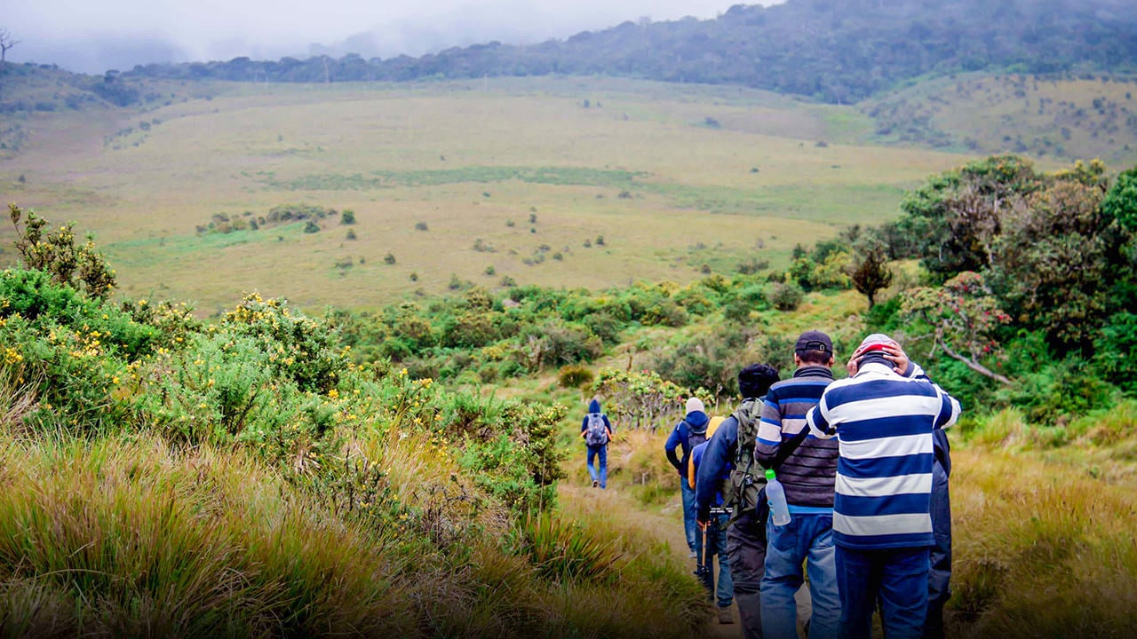
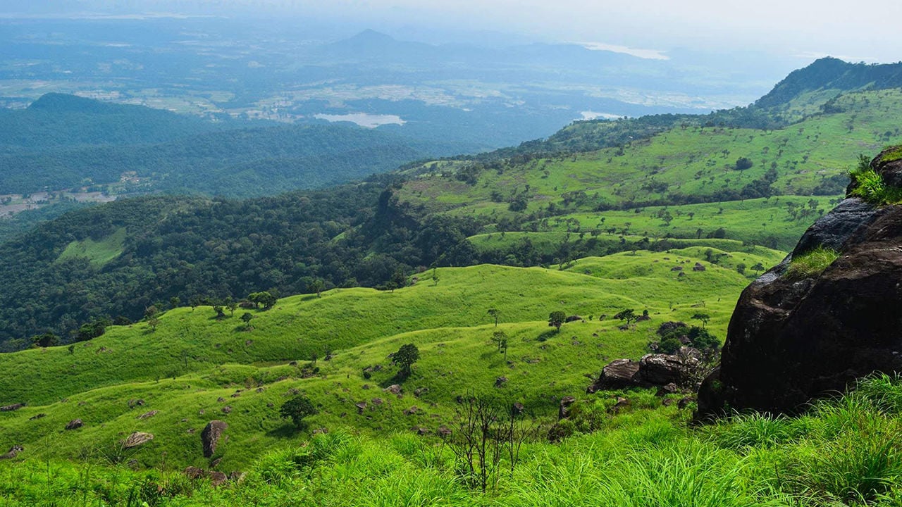

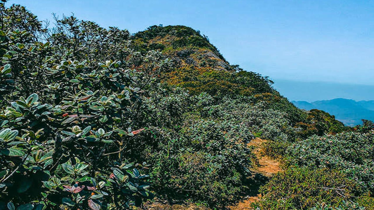
Kirigalpotta rises to 2,388 metres (7,835 feet) above sea level in the Nuwara Eliya District, making it the second highest point in Sri Lanka and the highest summit on the island that is open to the general public. The name is often parsed as kiri (milk), gal (rock), and poththa (tree bark) — a reference, most likely, to the tall trees with pale, mottled white bark that characterise the upper slopes. The trail threads through the cloud forest and open grasslands of Horton Plains National Park, one of Sri Lanka's most ecologically significant protected areas.
What Makes Kirigalpotta Worth the Climb?
Unlike Pidurutalagala — the island's tallest peak at 2,524 m — Kirigalpotta is freely accessible to visitors who hold a valid national park permit. The trail passes through a mosaic of montane wet evergreen forest and patana grassland, habitats found almost nowhere else in South Asia at this altitude. On a clear morning the summit offers panoramic views across the central highlands, with the plateau of Horton Plains stretching below and the ridgeline of the Knuckles Range visible in the distance. Those interested in Sri Lanka's endemic cloud-forest ecosystem will find the route itself as rewarding as the destination.
How Do I Get to the Kirigalpotta Trailhead?
The trailhead sits within Horton Plains National Park, which is most commonly reached from Nuwara Eliya (roughly 32 km) or from Haputale via Ohiya. The nearest railway station is Pattipola, and the nearest town with regular transport connections is Nanu Oya. Most visitors arrive by private car or taxi, as public transport to the park entrance is limited. The park gate opens at 6:00 a.m., and an early start is strongly recommended — cloud builds over the plateau by late morning, reducing visibility and increasing the likelihood of rain.
What Is the Kirigalpotta Trail Like?
The trail begins at the Horton Plains visitor centre and runs approximately 5.6 km to the summit, with an elevation gain of around 252 metres (from roughly 2,139 m at the trailhead to 2,392 m at the top). Expect the one-way journey to take between one and a half to two hours at a comfortable pace, making the full return trip three to four hours in total.
- Difficulty: Moderate. The path is well-defined but can be slippery and muddy after rain.
- Terrain: Dense montane forest for the majority of the route, with some exposed sections near the summit.
- Leeches: Common, particularly after rain. Leech-proof socks or salt are advisable.
- Navigation: Stay on the established trail at all times. The surrounding plains are marshy and can be dangerous if you wander off-path.
When Is the Best Time to Climb Kirigalpotta?
Horton Plains sits squarely in one of the wettest parts of Sri Lanka, so there is no entirely dry season. Relatively drier windows fall between February and April, and again from July to September, when cloud cover tends to lift for part of the morning. Even during these months, temperatures drop sharply and wind chill on the exposed summit can be significant. Avoid climbing during the southwest monsoon (May to July) and the northeast monsoon (November to January) if you want any prospect of summit views. Whatever month you visit, a very early start — at the park gates as soon as they open — gives the best chance of clear conditions.
| Detail | Information |
|---|---|
| Location | Nuwara Eliya District, Central Province |
| Trailhead | Horton Plains National Park visitor centre |
| Nearest village | Pattipola |
| Nearest town | Nanu Oya |
| Trail length (one way) | 5.6 km |
| Elevation gain | ~252 m (2,139 m to 2,392 m) |
| Climb time (return) | 3–4 hours |
| Difficulty | Moderate |
| Permit required | Yes — available at the park entrance |
| Best months | February–April and July–September |
What Permits Do I Need for Kirigalpotta?
A standard Horton Plains National Park entrance permit is required and can be purchased at the park gate. Foreign visitors pay a higher rate than Sri Lankan nationals; rates are set by the Department of Wildlife Conservation and may change annually. There is no separate climbing permit for Kirigalpotta — the national park entry covers access to the trail. Guided nature walks within the park can sometimes be arranged through park staff at the entrance.
What Should I Pack for the Climb?
The combination of high altitude, exposed terrain, and unpredictable mountain weather makes preparation important, even though the route is rated only moderate. Pack for cold and wet conditions regardless of the forecast.
- Sufficient water (no reliable sources on the trail)
- Light but warm layers — temperatures near the summit can be close to 10 °C or lower in early morning
- A waterproof rain jacket
- Sturdy, ankle-supporting boots with a non-slip sole — the mud can be significant
- Long trousers and long sleeves to protect against brambles and leeches
- Leech-proof socks or salt; insect repellent
- Basic first-aid kit (plasters, antiseptic, bandages)
- A fully charged mobile phone, though coverage on the upper trail is patchy
Are There Any Safety Considerations?
Climbing solo is not recommended. The trail passes through thick montane forest where it is easy to become disoriented, and mobile phone reception is unreliable in parts. The marshy terrain on either side of the path means that straying off-trail carries a real risk. Go with at least one companion, inform someone of your planned route and expected return time, and set out no later than 7:00 a.m. to ensure you are back before afternoon cloud and rain set in. There are no rescue facilities within the park, so self-sufficiency matters.
What Else Can I See in the Area?
Horton Plains is also home to World's End — a sheer escarpment with a near-vertical drop of around 880 metres — and Baker's Falls, a short detour from the main circular loop. Many visitors combine the Kirigalpotta climb with the World's End walk on the same day, though this makes for a long morning and requires an early start. The plateau supports a number of endemic bird species, including the Sri Lanka whistling thrush and the dull-blue flycatcher, making it a productive destination for birdwatchers. The nearby town of Ella is a popular base for visitors exploring this part of the highlands, offering accommodation, cafes, and access to other trails in the Uva region.
