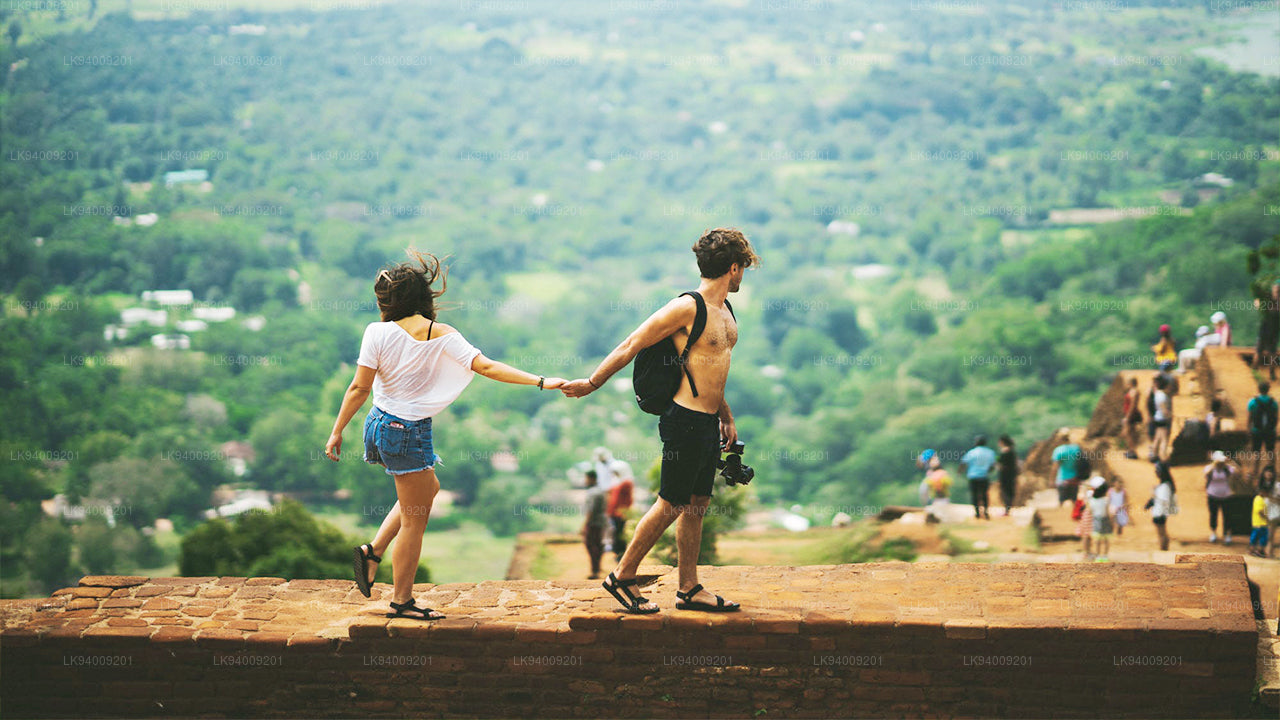
나무누쿨라


나무누쿨라(Namunukula)는 스리랑카 남동부 고지대에 위치한 우바 주의 수도 바둘라 인근에 있는 산맥입니다. 해발 2,035미터로 스리랑카에서 가장 높은 12개 산 중 하나이며, 서쪽의 시리 파다 (아담스 피크)에서 동쪽의 나무누쿨라까지 이어지는 남부 산맥의 동쪽 구간에서 가장 높은 봉우리입니다. 이 산은 스프링 밸리와 파사라의 차 재배 지역을 내려다보며, 약 40km에 걸쳐 호튼 플레인스에서 이어지는 유명한 우바 차 생산지의 중요한 일부를 형성합니다.
나무누쿨라의 고원으로 올라가는 길은 여러 개가 있으며, 가장 쉬운 경로는 스프링 밸리와 파사라 사이의 고개 근처에서 시작됩니다. 이 고개는 하나의 도로만 지나가기 때문에 찾기 쉽습니다. 스프링 밸리를 통과하는 B97 도로를 따라 데모다라 방향으로 이동한 후, 마을 중심의 상점에서 좌회전하여 정상 가까이까지 이어지는 측면 도로를 따라가면 됩니다. 고개에 도달하기 약 300미터 전에 왼쪽으로 하이킹 코스가 갈라집니다. 등반에는 특별한 기술이 필요하지 않지만, 경사가 가파르기 때문에 체력적으로 힘든 오르막입니다.
이 산림 지역에는 마카크 원숭이, 삼바 사슴, 멧돼지 등이 서식하고 있습니다. 스리랑카 고지대에는 표범도 서식하지만, 실제로 목격되는 경우는 매우 드뭅니다. 지름 약 150미터의 정상 고원에는 부처, 비슈누, 가네샤에게 바쳐진 작은 사당들이 있습니다. 스리랑카에서는 비슈누가 주로 싱할라 불교도들에게 숭배되며, 가네샤는 타밀 전통과 더 깊이 연관되어 있습니다. 아담스 피크와 마찬가지로, 이 지역을 수호하는 산신 인다카에 대한 믿음도 전해집니다.
“나무누쿨라”라는 이름은 싱할라어로 “아홉 개의 봉우리”를 의미하며, 가장 높은 봉우리만이 아니라 전체 산맥을 가리킵니다. 이 산맥은 남북으로 약 13km에 걸쳐 뻗어 있으며, 바둘라에서 인근 고개 지역까지 포함합니다. 남쪽 경사면에는 같은 이름을 가진 마을도 위치해 있어, 이 아름답고 문화적으로 중요한 스리랑카 고지대 지역의 독특함을 더해줍니다.
Special places in Badulla
-
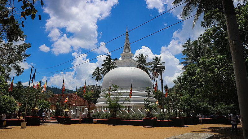 Muthiyangana Raja Maha Vihara
Muthiyanganaya Raja Maha Viharaya lies in the centre of the city of Badulla. The History of this temple goes back to the time of Buddha but this area around Badulla goes way back in to the time of 19th -18th century BCE.
-
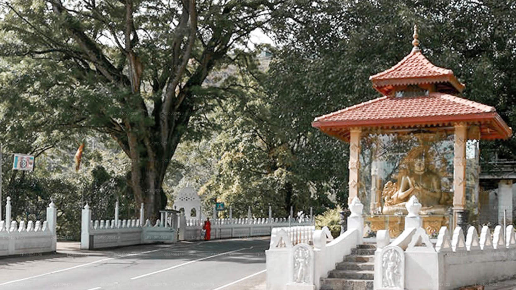 Dowa Raja Maha Viharaya
Dowa Raja Maha Viharaya (Dowa Cape Temple) lies few kilometres away from the Bandarawela town on the Bandarawela – Badulla Road. This temple is thought to be done by King Walagamba in the in first century BC.
-
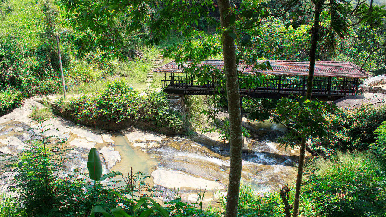 Bogoda Wooden Bridge
The Bogoda Wooden Bridge was built in the 16th century during the Dambadeniya era. This is said to be the oldest surviving wooden bridge in Sri Lanka. The bridge is situated at 7 kilometres (4.3 mi) west of Badulla.
-
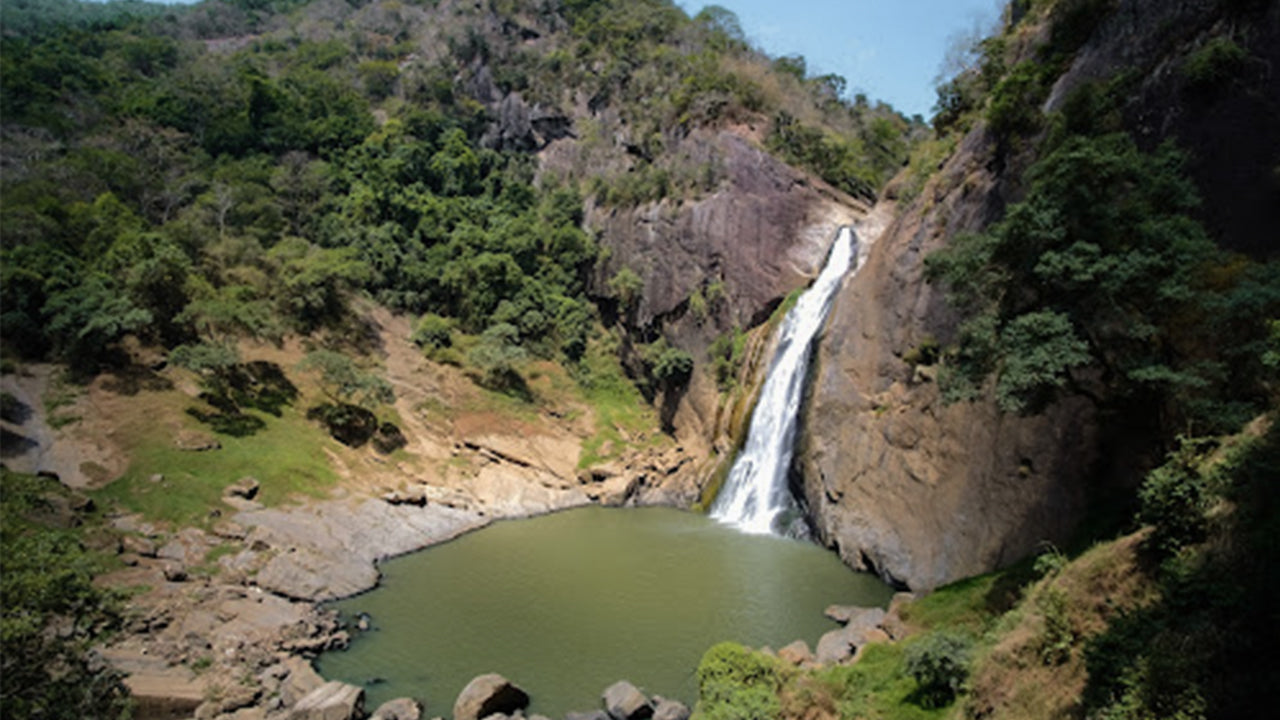 Dunhinda Falls
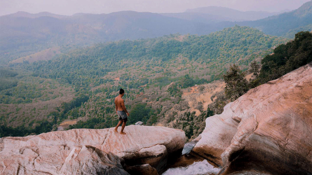
Dunhinda Falls is situated about 5 km away from Badulla town. It is 63 meters high and is considered to be one of the most beautiful waterfalls in Sri Lanka. The falls gets its name dew to the smoky dew drops spray.