Mannar District
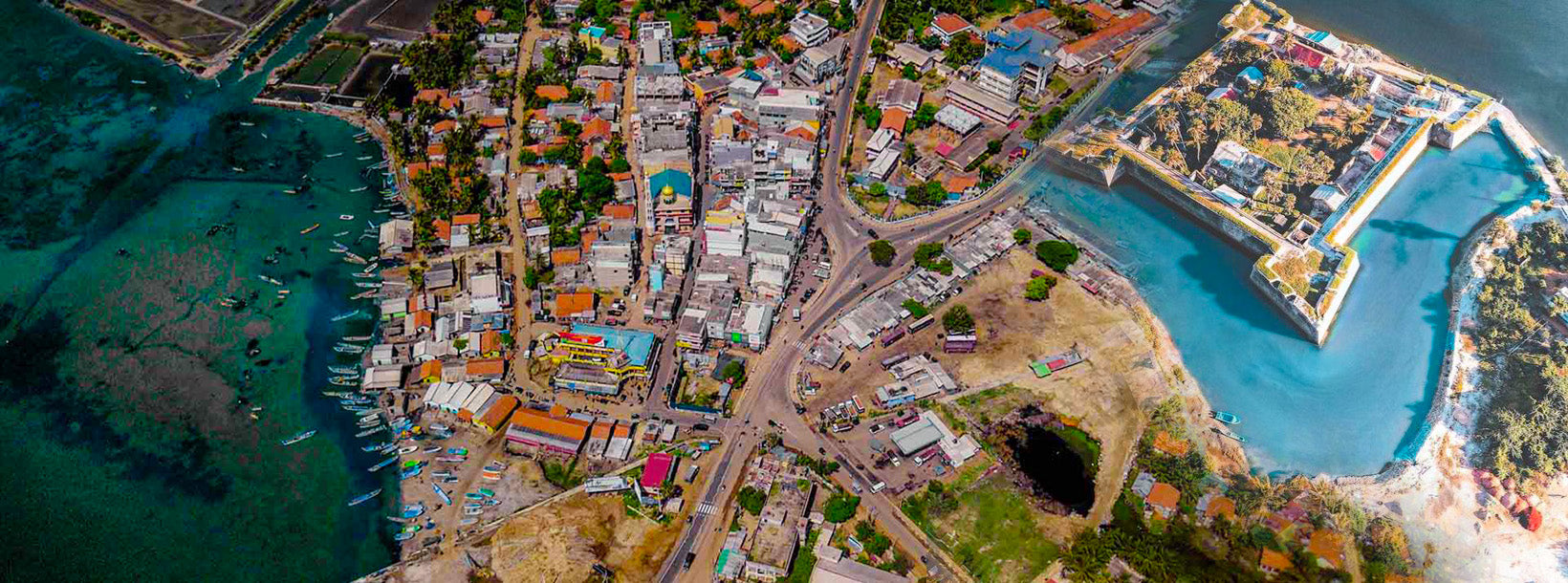
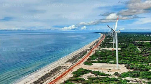
Mannar is the capital of Mannar District, Sri Lanka. Mannar District is located in northwestern Sri Lanka. It is one of five administrative districts of the Northern Province. The district covers 2,002 sq. km, approximately 3% of the total land area of Sri Lanka. Geographically the bulk of Mannar is on the mainland within the arid and dry zone. High temperatures and low rainfall characterize the climate. The monthly temperatures range between 26.5°C and 30.0°C with highs normally recorded between May and August. Mannar receives nearly 60% of its rainfall during the northeast monsoon, which lasts from October through December. The land area is relatively flat and sits at low elevations. Towards the interior the terrain is gently undulating, favoring the storage of rainwater in tanks that provide the majority of the irrigation for the district's arable land. The primary economic activities in Mannar are crop cultivation (mainly paddy), fisheries and animal husbandry. Employment opportunities in the district are highly seasonal, and there are no institutional facilities for tertiary education.
Northern Province
The Northern Province is one of the 9 provinces of Sri Lanka. The provinces have existed since the 19th century but they didn't have any legal status until 1987 when the 13th Amendment to the 1978 Constitution of Sri Lanka established provincial councils. Between 1988 and 2006 the province was temporarily merged with the Eastern Province to form the North-East Province. The capital of the province is Jaffna.
Northern Province is located in the north of Sri Lanka and is just 22 miles (35 km) from India. The province is surrounded by the Gulf of Mannar and Palk Bay to the west, Palk Strait to the north, the Bay of Bengal to the east, and the Eastern, North Central and North Western provinces to the south. The province has a number of lagoons, the largest being Jaffna Lagoon, Nanthi Kadal, Chundikkulam Lagoon, Vadamarachchi Lagoon, Uppu Aru Lagoon, Kokkilai lagoon, Nai Aru Lagoon, and Chalai Lagoon.Most of the islands around Sri Lanka are to be found to the west of the Northern Province. The largest islands are Kayts, Neduntivu, Karaitivu, Pungudutivu, and Mandativu.
The Northern Province's population was 1,311,776 in 2007. The majority of the populations are Sri Lankan Tamils, with a minority Sri Lankan Moor and Sinhalese population. Sri Lankan Tamil is the major language spoken in the province by the vast majority of the population. The other language spoken is Sinhala by 1 percent of the population. English is widely spoken and understood in the cities.