About Ampara District
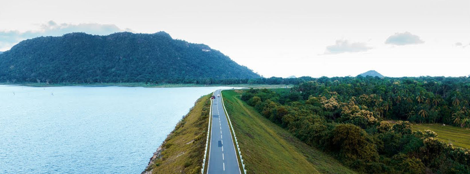
Ampara is belongs to the Eastern Province. of Sri Lanka It is a remote city on the East Coast of Sri Lanka, about 360 km from the capital city of Colombo.Ampara is the largest paddy harvesting province in the country, and has the Indian Ocean on the east coast of Sri Lanka as a fisheries resource. Most of the civilians are Sinhala, while Tamils and Moors also live in the coastal parts of the district.
About Eastern Province
The Eastern Province is one of the 9 provinces of Sri Lanka. The provinces have existed since the 19th century but they didn't have any legal status until 1987 when the 13th Amendment to the 1978 Constitution of Sri Lanka established provincial councils. Between 1988 and 2006 the province was temporarily merged with the Northern Provincee to form the North-East Province. The capital of the province is Trincomalee. The Eastern province's population was 1,460,939 in 2007. The province is the most diverse in Sri Lanka, both ethnically and religiously.
Eastern province has an area of 9,996 square kilometers (3,859.5 sq mi).The province is surrounded by the Northern Province to the north, the Bay of Bengal to the east, the Southern Province to the south, and the Uva, Central and North Central provinces to the west. The province's coast is dominated by lagoons, the largest being Batticaloa lagoon, Kokkilai lagoon, Upaar Lagoon and Ullackalie Lagoon.