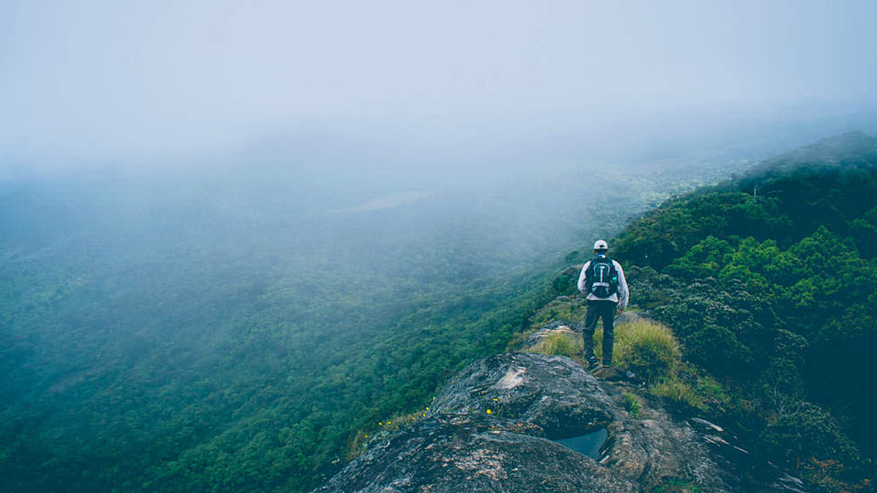
Sri Lanka's central highlands form one of the island's most rewarding landscapes — a mosaic of cloud-draped peaks, mist-filled valleys, rolling tea estates, and ancient pilgrimage trails. Whether you are drawn by the spiritual pull of a sacred summit, the raw drama of a sheer cliff-edge drop, or simply the cool air and quiet of high-altitude forests, the mountains of Sri Lanka repay the effort of getting there.
What mountains and peaks are worth visiting in Sri Lanka?
The central and southern highlands contain several peaks that combine ecological significance with genuine visitor appeal. Most of the major summits are protected as forest reserves or national parks, and they serve as the headwaters for many of the island's rivers.
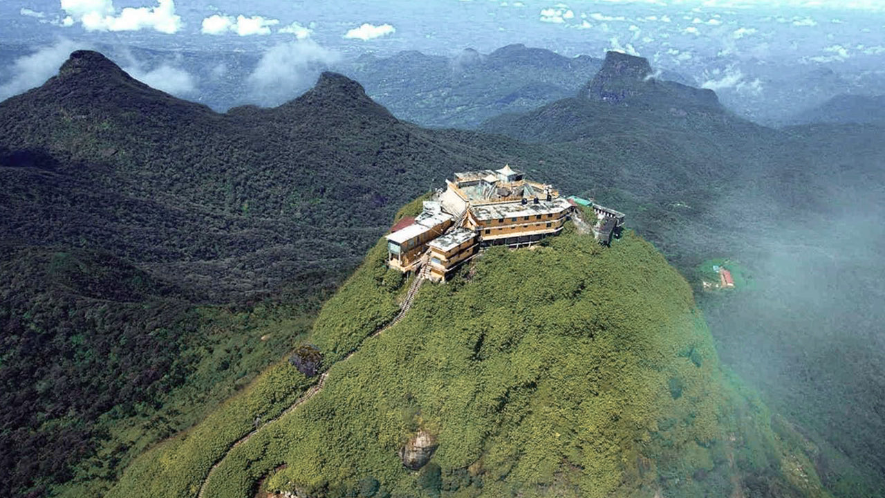
- Adam's Peak (Sri Pada) — 2,243 m. Sri Lanka's most-visited sacred mountain, revered by Buddhists, Hindus, Muslims, and Christians alike for the footprint-shaped impression near its summit. The climbing season typically runs from December to May.
- Pidurutalagala — 2,524 m. The island's highest peak, located near Nuwara Eliya. Access is restricted because a government communications facility sits at the top.
- Kirigalpotta — 2,395 m. The second-highest accessible peak, reached by a trail from Horton Plains National Park. The walk takes around four hours return and crosses open grassland and cloud forest.
- Totapola — 2,357 m. Adjacent to Kirigalpotta and visible from the Horton Plains plateau; less frequently climbed but reachable on a longer day hike.
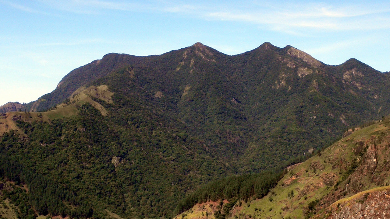
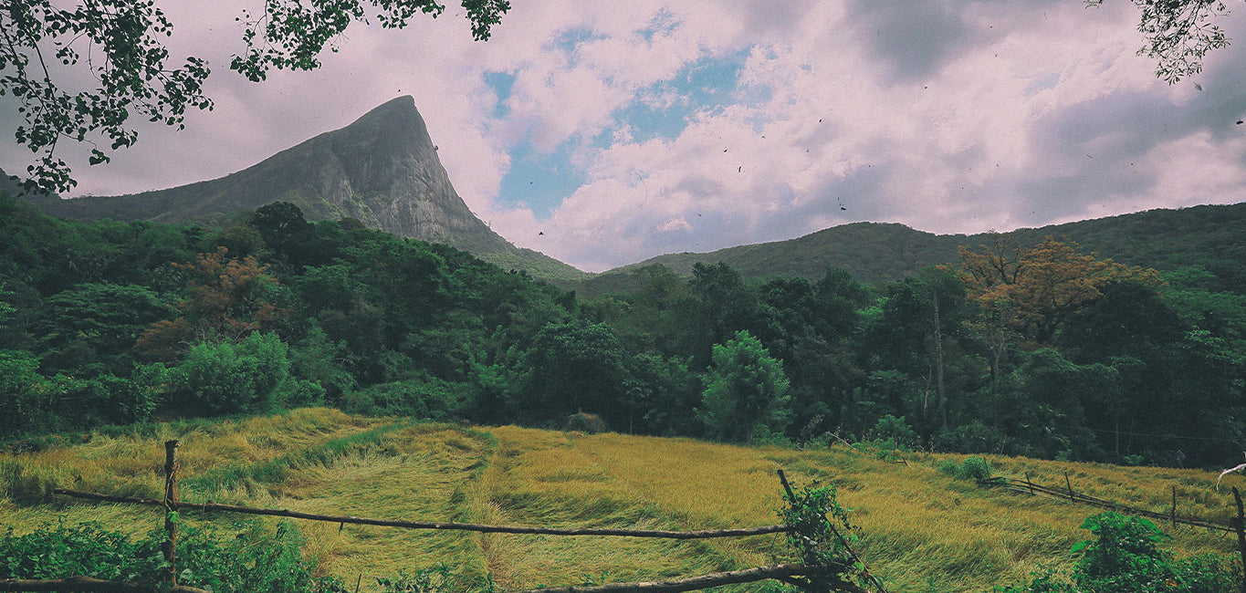
- Knuckles Range (Dumbara Hills) — A UNESCO-recognised biodiversity hotspot northeast of Kandy, with peaks reaching above 1,800 m and covering an area of dense forest, montane grassland, and cascading streams.
What makes the Sri Lanka hill country special?
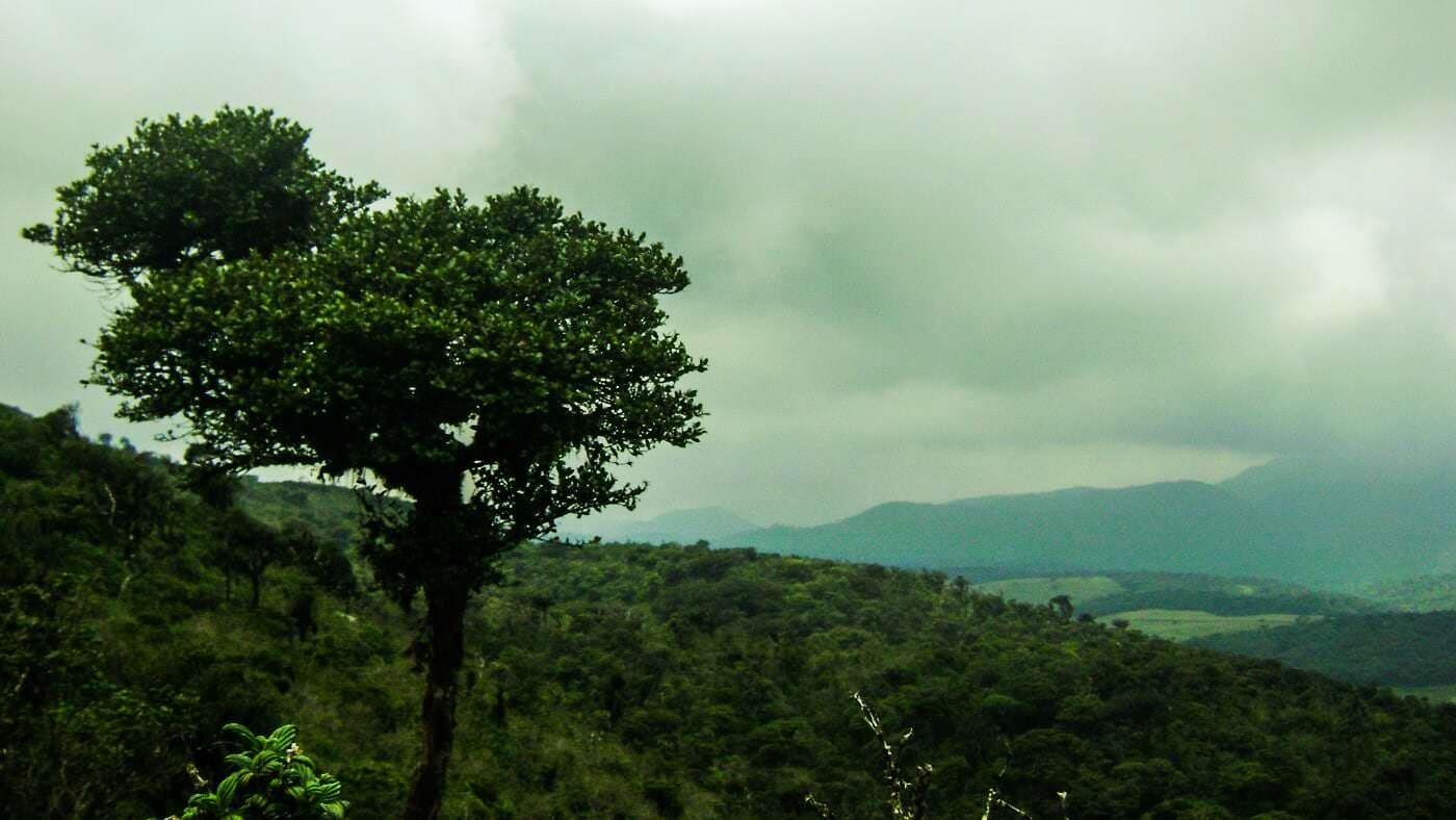
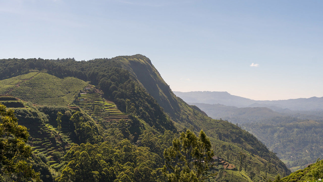
The central highlands sit mostly above 1,000 metres, giving them a climate unlike the rest of the island. Temperatures are mild throughout the year, and mornings often bring low mist that burns off by mid-morning to reveal layered ridgelines. Ceylon tea grows across many of these slopes, and the neat geometry of tea bushes on hillsides has become one of Sri Lanka's most recognised images.
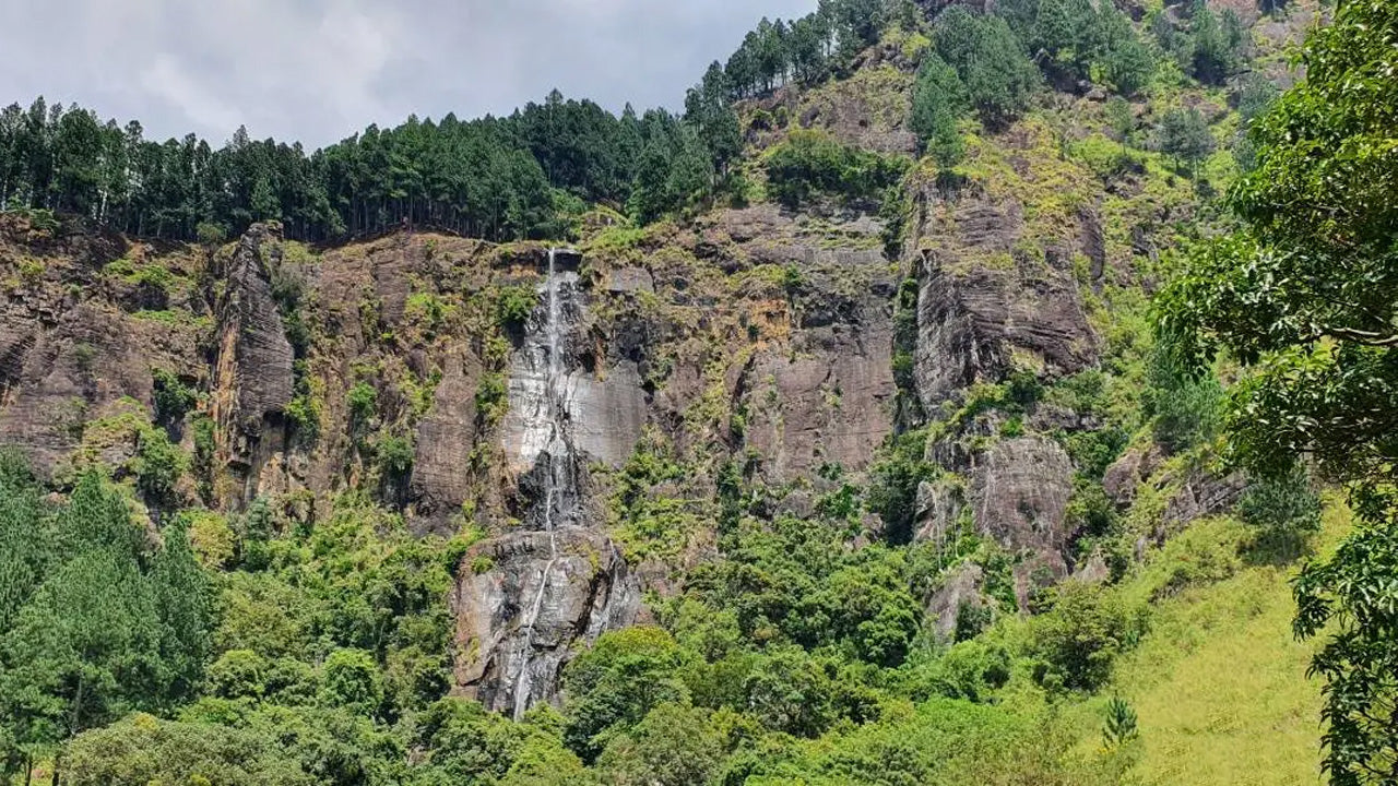
The hill country is also ecologically unusual. Montane cloud forest clings to the upper slopes of the highest peaks, sheltering endemic birds, mammals, and plants found nowhere else on earth. Waterfalls drop from plateau edges throughout the region — some accessible from roadside viewpoints, others requiring a short hike.
What is World's End at Horton Plains?
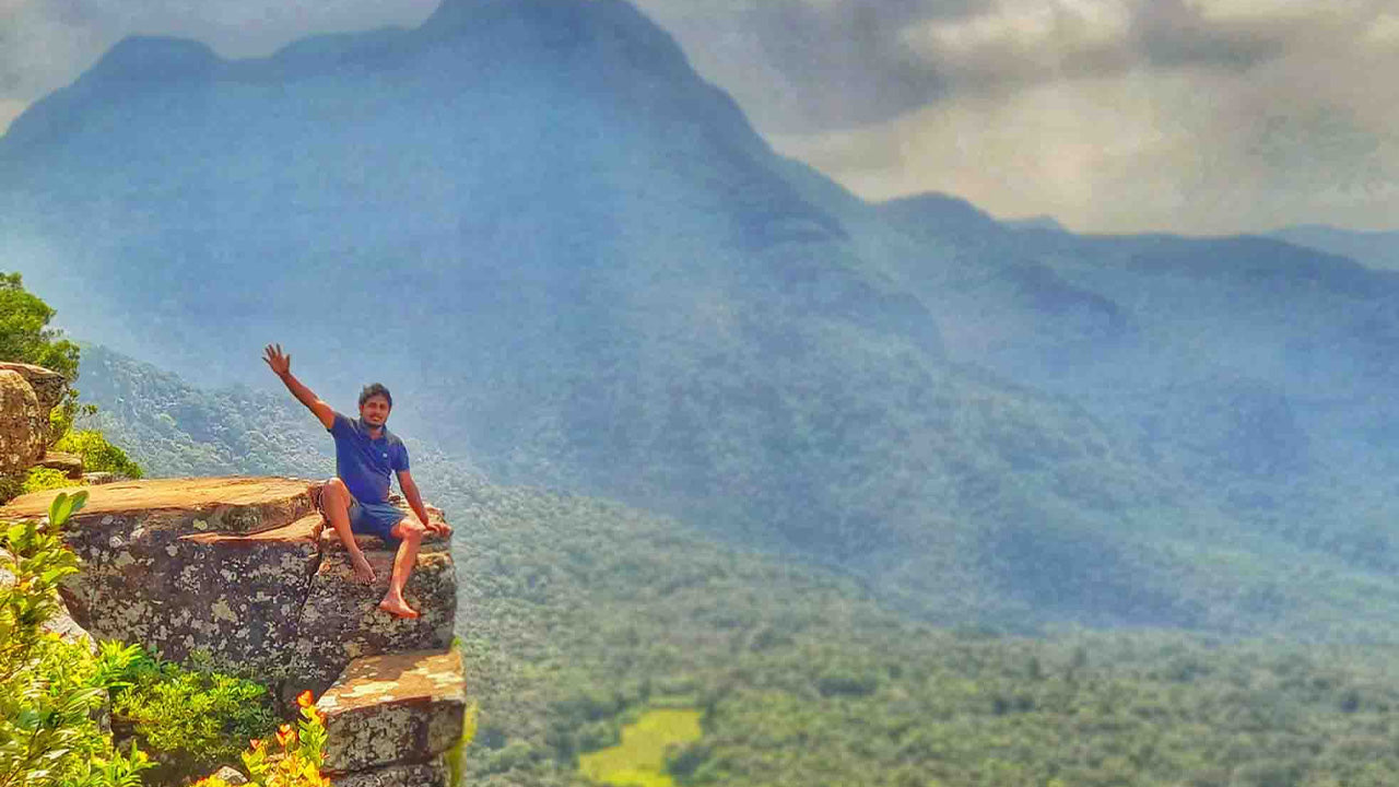
Horton Plains National Park is a rolling highland plateau of grassland and patana scrub sitting above 2,000 metres. The park's most dramatic feature is World's End — a sheer escarpment where the plateau abruptly ends and the land falls roughly 880 metres to the lowland plains below. On a clear morning, the view extends all the way to the southern coastline. Mist typically rolls in from late morning, so most visitors set out before dawn to reach the viewpoint by 8–9 am. A second viewpoint, Little World's End, offers a shorter drop and is reached earlier on the same trail loop.
The park also hosts sambar deer, purple-faced langurs, and a number of endemic bird species. Entry is managed by the Department of Wildlife Conservation, and the standard loop trail takes approximately three hours.
How do I climb Adam's Peak (Sri Pada)?
Adam's Peak is approached via several trails; the most popular begins at Nallathanniya (Dalhousie) on the western side. The path is well-maintained and lit during the pilgrimage season, and most visitors climb at night to reach the summit for sunrise. The ascent involves roughly 5,500 steps and takes most walkers between three and five hours. Outside the pilgrimage season (roughly June to November), the trail is quieter but facilities may be reduced and weather less predictable.
Facilities at the base include small teashops, guesthouses, and rest areas along the route. The summit contains a small shrine managed by resident monks. Shoes are removed before entering the shrine area.
When is the best time to visit Sri Lanka's highlands?
The central highlands are influenced by two monsoon seasons. From December to April, the western slopes and the Adam's Peak trail receive clear weather and are at their best. From May to September, the eastern flanks — including some Knuckles routes — are more favourable. Horton Plains can be visited year-round but cloud builds quickly after mid-morning regardless of season.
Temperatures at altitude rarely exceed 20 °C and can drop to near 10 °C at night, particularly between November and February. Packing a light layer is advisable even in the warmest months.
How do I get to Nuwara Eliya and the hill country from Colombo?
Nuwara Eliya sits around 180 km from Colombo and is the most practical base for exploring the highlands. The most scenic route is by train — the Kandy-to-Badulla line, widely considered one of Asia's great rail journeys, passes through Nuwara Eliya Road (Nanuoya station) and continues to Ella. The journey from Kandy to Ella takes approximately six hours by train. By road, a private vehicle from Colombo to Nuwara Eliya takes roughly four to five hours depending on traffic through Kandy.
What other highland experiences are available near the peaks?
Beyond the summits themselves, the hill country supports a range of experiences that complement time spent walking or climbing.
- Tea estate tours — Factories near Nuwara Eliya offer guided tours explaining the full process from leaf to cup. Bluefield Tea Gardens is one accessible option with well-organised visitor facilities.
- Nuwara Eliya town — The town retains a distinctly colonial character, with the Grand Hotel and the golf course among its landmarks. The cool air and flower-filled gardens feel unlike anywhere else on the island.
- Rawanagala — A lesser-visited rock outcrop near Koslanda associated with the Ramayana legend, offering panoramic views with far fewer visitors than the main highland sites. See the Rawanagala page for details.
- Hot-air ballooning — Hot-air balloon flights over the cultural triangle operate in the dry zone, but the elevated perspective over green landscape makes them a popular complement to a hill-country itinerary.
- Sinharaja Forest Reserve — At the southwestern edge of the highland zone, Sinharaja is a UNESCO-listed rainforest with extraordinary bird diversity, often combined with a southern hill country route.
Are Sri Lanka's peaks suitable for beginner hikers?
The trails vary considerably. The Adam's Peak route to the summit is demanding in terms of stairs but is well-managed and completed annually by tens of thousands of pilgrims of all ages. Horton Plains' World's End loop is a relatively straightforward walk on a marked path with no technical sections. Kirigalpotta, by contrast, requires reasonable fitness and a guide, as portions of the route cross unmarked terrain. The Knuckles Range has trails suitable for beginners as well as multi-day routes for experienced trekkers — local guides are recommended for all but the most straightforward paths.